Eilean a' Bhàird Rock

Island in Argyllshire

Scotland

Eilean a' Bhàird Rock

Lines of boulders on the Mull of Oa The boulder lines are indicated on OS maps, suggestive of walls but they're clearly not there as such now; perhaps they never were. If that's so it's hard to explain why effort would have been expended in their creation.
Lines of boulders on the Mull of Oa Credit: Trevor Littlewood

Eilean a' Bhàird Rock is a small uninhabited island located off the west coast of Scotland in Argyllshire. It is situated approximately 2.5 kilometers southwest of the Mull of Kintyre and can be found within the Firth of Clyde. The island covers an area of about 0.07 hectares and reaches a maximum height of around 8 meters above sea level.

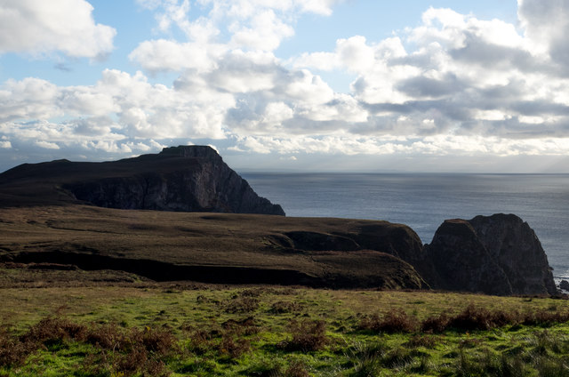
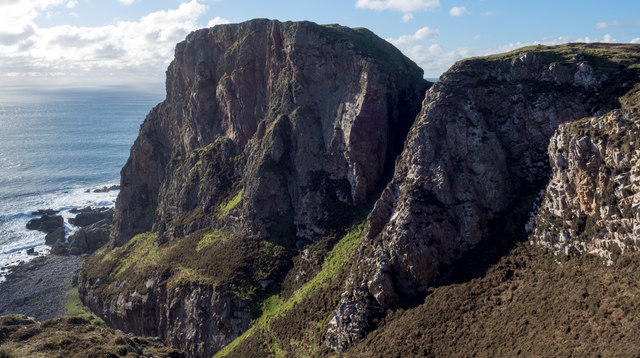
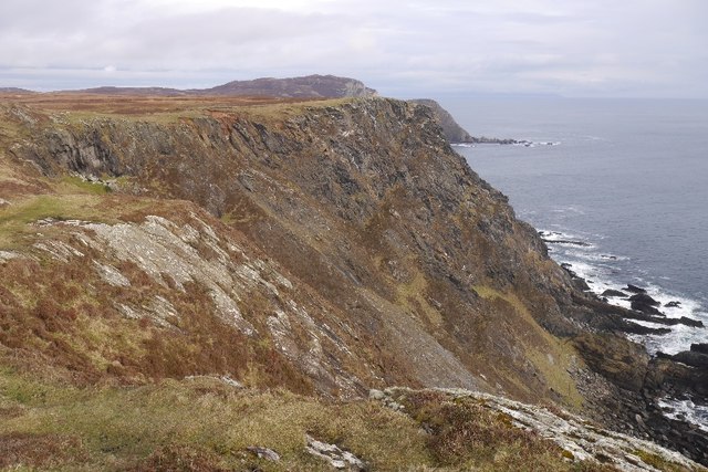
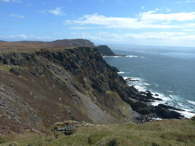
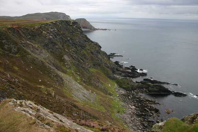
The rock is predominantly composed of basalt, a volcanic rock formed from solidified lava. It features steep cliffs on all sides, making it inaccessible to visitors and difficult to approach by boat. The treacherous waters surrounding the island are known for strong currents and submerged hazards, further adding to the island's isolation.

Eilean a' Bhàird Rock is known for its rich birdlife, making it an important site for ornithological research and observation. It serves as a nesting ground for various seabird species, including gulls, cormorants, and fulmars. During the breeding season, the island teems with activity as these birds raise their young and engage in courtship displays.

Due to its small size and lack of vegetation, Eilean a' Bhàird Rock has no historical or cultural significance. It remains largely untouched by human activity, serving as a natural sanctuary for wildlife. Its remote location and rugged landscape contribute to its allure, attracting adventurous explorers and photographers seeking to capture the untouched beauty of this uninhabited island.

If you have any feedback on the listing, please let us know in the comments section below.

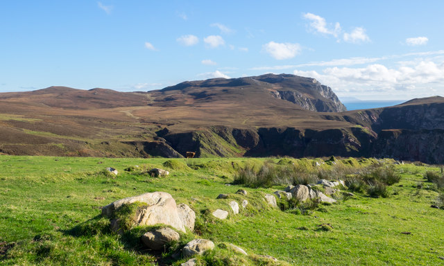
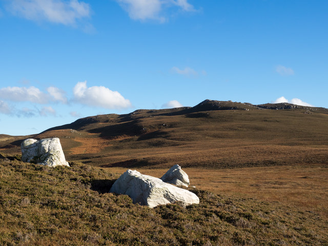
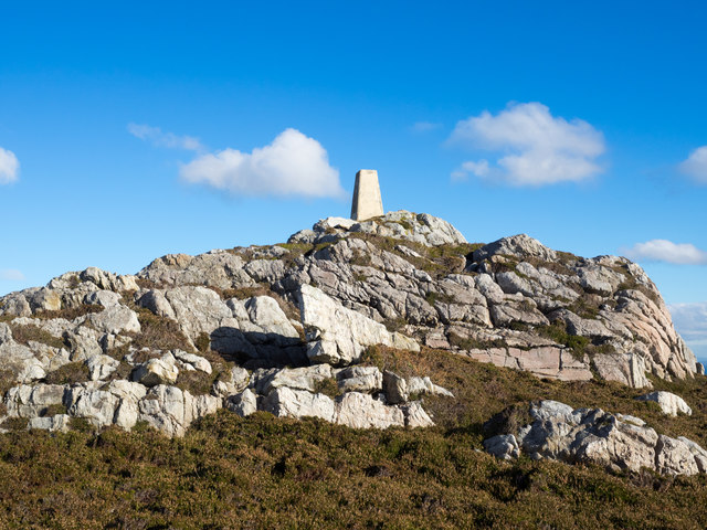
Eilean a' Bhàird Rock Images

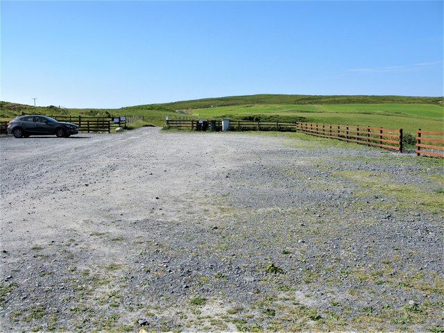
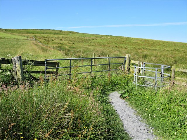
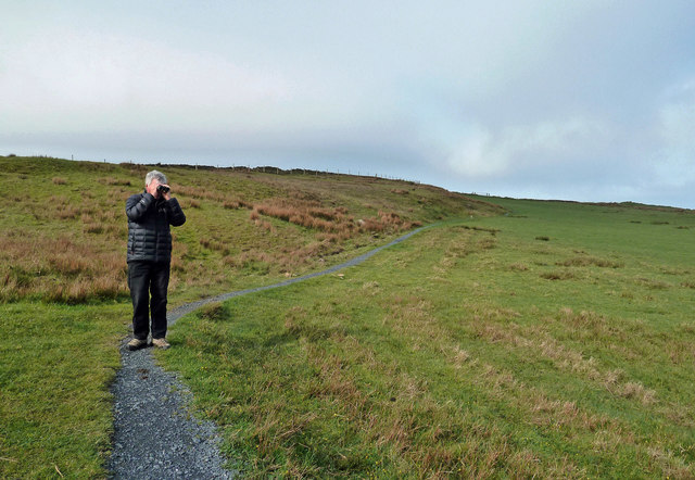
Images are sourced within 2km of 55.582149/-6.3024499 or Grid Reference NR2840. Thanks to Geograph Open Source API. All images are credited.

Lines of boulders on the Mull of Oa The boulder lines are indicated on OS maps, suggestive of walls but they're clearly not there as such now; perhaps they never were. If that's so it's hard to explain why effort would have been expended in their creation.
Lines of boulders on the Mull of Oa
The boulder lines are indicated on OS maps, suggestive of walls but they're clearly not there as such now; perhaps they never were. If that's so it's hard to explain why effort would have been expended in their creation.
Three white rocks on heather The rocks are on heather moorland north-west of Beinn Mhòr which is the distant hill.
Three white rocks on heather
The rocks are on heather moorland north-west of Beinn Mhòr which is the distant hill.
Trig point atop rock plinth The triangulation column is at the summit of Beinn Mhòr on The Oa peninsula, of Islay.
Trig point atop rock plinth
The triangulation column is at the summit of Beinn Mhòr on The Oa peninsula, of Islay.
Heather moorland beyond bracken Beyond the heather lies Beinn Mhòr and Dùn Athad is to the right of the notch against the sea.
Heather moorland beyond bracken
Beyond the heather lies Beinn Mhòr and Dùn Athad is to the right of the notch against the sea.
East face of Dùn Athad Dùn Athad is a striking feature of the south coast of The Oa.
It's attached to the bulk of the peninsula by a narrow neck of land which is possible, with care, to cross safely so to reach the summit; there's not the vertical rock step that might be suspected from the image.
East face of Dùn Athad
Dùn Athad is a striking feature of the south coast of The Oa. It's attached to the bulk of the peninsula by a narrow neck of land which is possible, with care, to cross safely so to reach the summit; there's not the vertical rock step that might be suspected from the image.
Old field boundary Grassed over dyke, Upper Killeyan.
Old field boundary
Grassed over dyke, Upper Killeyan.
Wetland, Upper Killeyan Beside the path to the American Monument.
Wetland, Upper Killeyan
Beside the path to the American Monument.
Path from the American Monument A waymarked path on the Mull of Oa.
Path from the American Monument
A waymarked path on the Mull of Oa.
Tollacha Gleadhran Sea cliffs on the south side of  the Mull of Oa.
Tollacha Gleadhran
Sea cliffs on the south side of the Mull of Oa.
Coastline at the Mull of Oa This view looks east a little way from the American Monument on the Mull of Oa.
Coastline at the Mull of Oa
This view looks east a little way from the American Monument on the Mull of Oa.
Cliffs on the Mull of Oa The path runs alongside these steep cliffs as it leads to the American Monument on the Mull of Oa.
Cliffs on the Mull of Oa
The path runs alongside these steep cliffs as it leads to the American Monument on the Mull of Oa.
On the Oa The rugged coastline of the southern tip of Islay - the Oa has some quite spectacular cliffs and inaccessible bays.
On the Oa
The rugged coastline of the southern tip of Islay - the Oa has some quite spectacular cliffs and inaccessible bays.
Car Park at the start of the route to the American Monument, Islay The route starts out as a track leaving the car park at the far end. Soon after this point a path leading to the American Monument leaves the track.
Car Park at the start of the route to the American Monument, Islay
The route starts out as a track leaving the car park at the far end. Soon after this point a path leading to the American Monument leaves the track.
Kissing Gate on the Path to the American Monument, Islay It's amazing how many different ways there are for opening gates and kissing gates. This was one of the more common ones.
Kissing Gate on the Path to the American Monument, Islay
It's amazing how many different ways there are for opening gates and kissing gates. This was one of the more common ones.
From The Mull Of Oa The spectacular cliffs on the Mull of Oa, Islay’s southern point. This misty view looks towards Clèit a’ Glaisrig, then Sgeiran Buidhe and, in the distance, Beinn Mhor.
From The Mull Of Oa
The spectacular cliffs on the Mull of Oa, Islay’s southern point. This misty view looks towards Clèit a’ Glaisrig, then Sgeiran Buidhe and, in the distance, Beinn Mhor.
Birdwatching On The Oa This popular birdwatching area is managed by the RSPB.
Birdwatching On The Oa
This popular birdwatching area is managed by the RSPB.
View towards Dun Athad from near the Mull of Oa
Trigpoint, Beinn Mhor, Islay
Show me another place!

Eilean a' Bhàird Rock is located at Grid Ref: NR2840 (Lat: 55.582149, Lng: -6.3024499)

Unitary Authority: Argyll and Bute

Police Authority: Argyll and West Dunbartonshire

What 3 Words

///ballooned.aura.flicks. Near Port Ellen, Argyll & Bute

Related Wikis

Eas Mòr, upper

Eas Mor is a waterfall is a waterfall on the Abhainn Ghil on the island of Islay in Scotland. It lies on The Oa peninsula south of Giol and west of Lenavore...

Eas Mòr, lower

Eas Mor (lower) is a waterfall on the Abhainn Ghil on the island of Islay, in Scotland. It lies on the west coast of The Oa peninsula north of Lower Killeyan...

The Oa

The Oa ( OH) (Scottish Gaelic: An Obha) is a rocky peninsula in the southwest of the island of Islay, in Argyll, Scotland. It is an RSPB nature reserve...

Port Ellen distillery

Port Ellen distillery is located in Port Ellen on the isle of Islay, Scotland. It initially operated between 1825 and 1983 when production shut down....

Have you been to Eilean a' Bhàird Rock?

Leave your review of Eilean a' Bhàird Rock below (or comments, questions and feedback).