Stac na Mòine
Island in Argyllshire
Scotland
Stac na Mòine
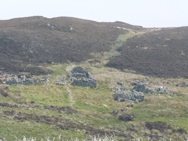
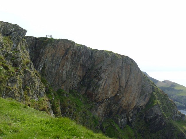
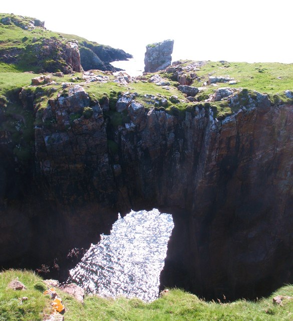
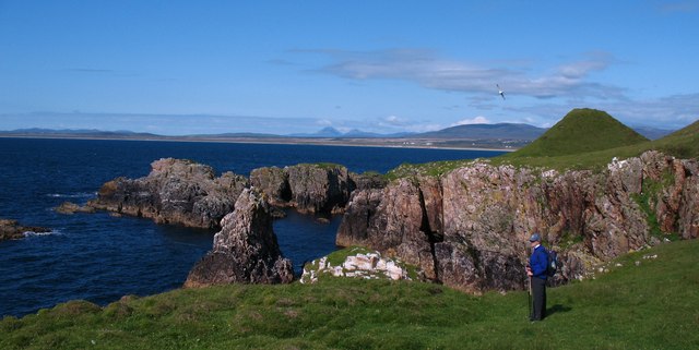
Stac na Mòine is a small island located off the coast of Argyllshire, Scotland. It is part of the Inner Hebrides archipelago and is known for its unique geological features and rich biodiversity.
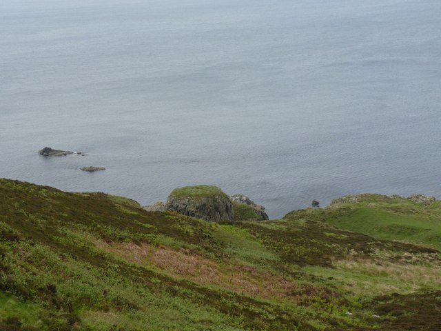
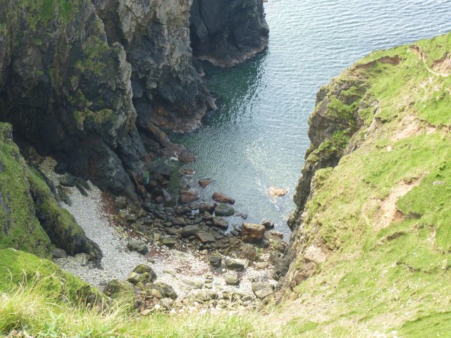
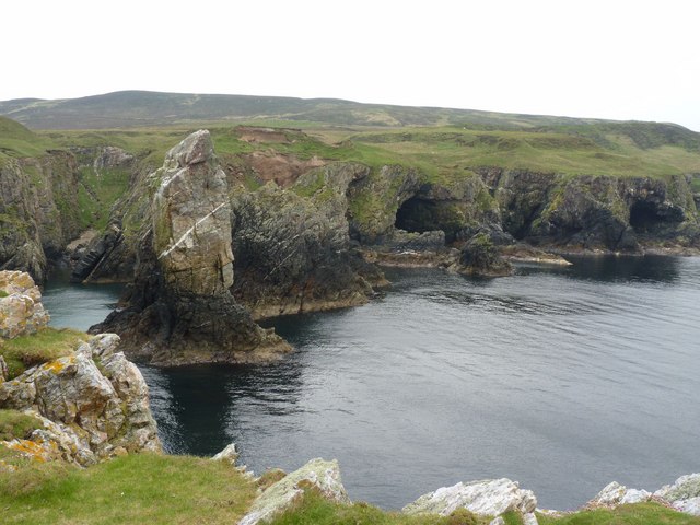
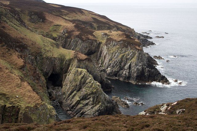
The island is situated in the Sound of Islay, approximately 3 kilometers southeast of the larger island of Islay. Stac na Mòine measures approximately 40 meters in height and covers an area of around 0.1 hectares. It is primarily composed of basalt and forms part of a larger volcanic complex in the region.
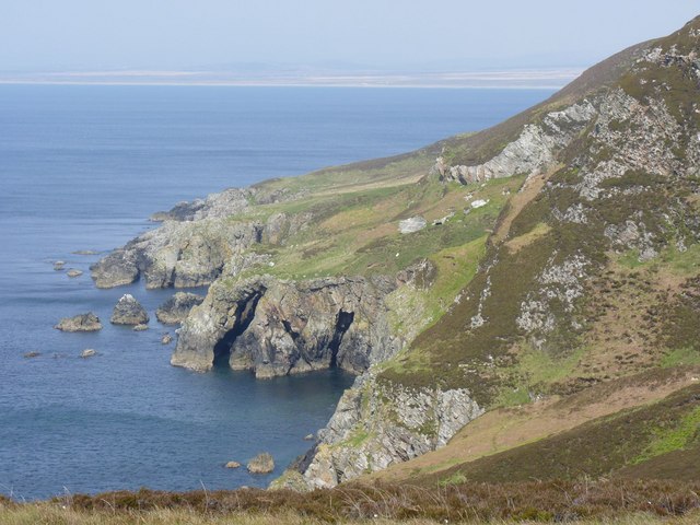
Despite its small size, Stac na Mòine is home to a diverse range of flora and fauna. The island's exposed cliffs provide nesting sites for a variety of seabirds, including guillemots, razorbills, and puffins. The surrounding waters also support a thriving marine ecosystem, with seals often seen basking on the rocky shores.
Due to its remote location and rugged terrain, Stac na Mòine is not easily accessible to visitors. However, it is occasionally visited by birdwatchers and nature enthusiasts who are drawn to its unique ecological features. The island offers a pristine and untouched environment, providing a sanctuary for its resident wildlife.
Stac na Mòine is a valuable site for scientific research and conservation efforts. Its isolation and protected status ensure the preservation of its delicate ecosystem. Efforts are underway to monitor and study the island's wildlife, contributing to our understanding of the region's biodiversity and promoting its long-term conservation.
If you have any feedback on the listing, please let us know in the comments section below.
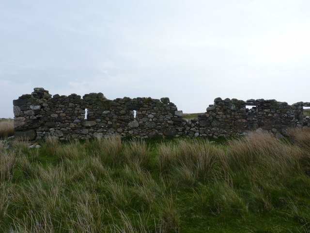
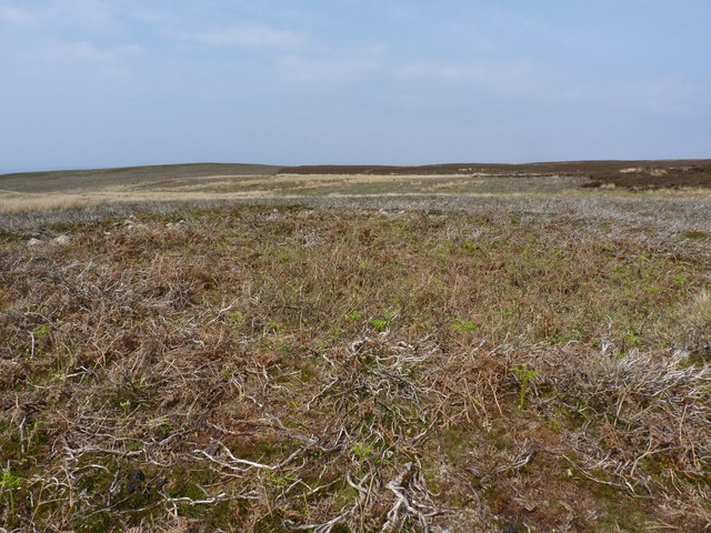
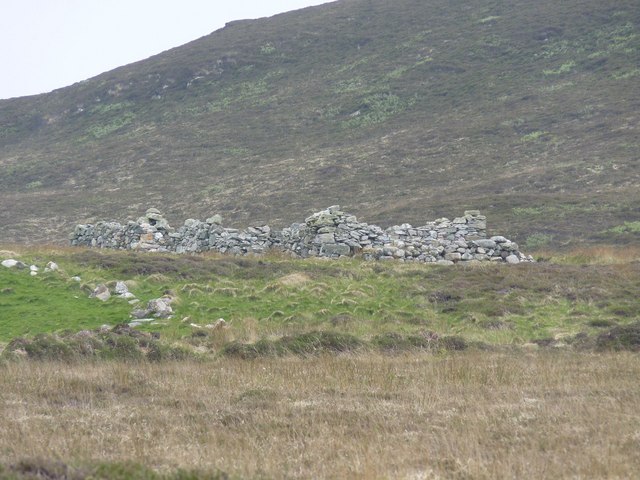
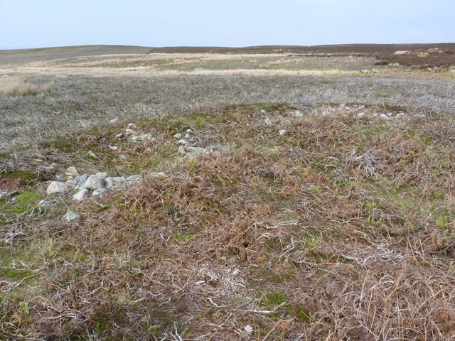
Stac na Mòine Images
Images are sourced within 2km of 55.643183/-6.3104545 or Grid Reference NR2847. Thanks to Geograph Open Source API. All images are credited.
Stac na Mòine is located at Grid Ref: NR2847 (Lat: 55.643183, Lng: -6.3104545)
Unitary Authority: Argyll and Bute
Police Authority: Argyll and West Dunbartonshire
What 3 Words
///retained.presses.flotation. Near Port Ellen, Argyll & Bute
Related Wikis

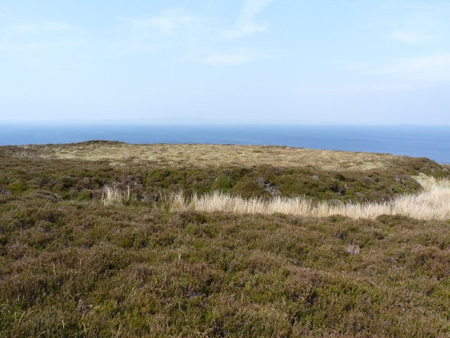
The Oa
The Oa ( OH) (Scottish Gaelic: An Obha) is a rocky peninsula in the southwest of the island of Islay, in Argyll, Scotland. It is an RSPB nature reserve...

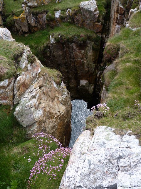
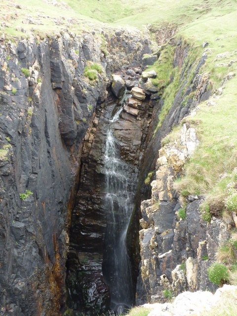
Eas Mòr, lower
Eas Mor (lower) is a waterfall on the Abhainn Ghil on the island of Islay, in Scotland. It lies on the west coast of The Oa peninsula north of Lower Killeyan...
Eas Mòr, upper
Eas Mor is a waterfall is a waterfall on the Abhainn Ghil on the island of Islay in Scotland. It lies on The Oa peninsula south of Giol and west of Lenavore...

Machrie golf course
The Machrie Golf Course, or "The Machrie Links", is located on Islay, in Scotland. The word "machrie" is a corruption of the Scottish Gaelic machair, which...
Islay Airport
Islay Airport (IATA: ILY, ICAO: EGPI) (also known as Glenegedale Airport) (Scottish Gaelic: Port-adhair Ìle) is located 4.5 nautical miles (8.3 kilometres...

River Laggan
The River Laggan is a small river on the Scottish island of Islay. Having gathered the waters of the Kilennan River, Barr River and Duich River / Torra...

Port Ellen distillery
Port Ellen distillery is located in Port Ellen on the isle of Islay, Scotland. It initially operated between 1825 and 1983 when production shut down....
Leorin Loch
Leorin Loch is of the impounding variety, located 2.5 kilometres north of Port Ellen, and is one of a group of three lochs supplying water to the island...
Have you been to Stac na Mòine?
Leave your review of Stac na Mòine below (or comments, questions and feedback).