Sgeir Ghlas

Island in Argyllshire

Scotland

Sgeir Ghlas

Druim Nan Carn Trig A beautiful spot for a trig point on a sunny afternoon with Iain Brown and Martin Richardson.
Druim Nan Carn Trig Credit: Rude Health

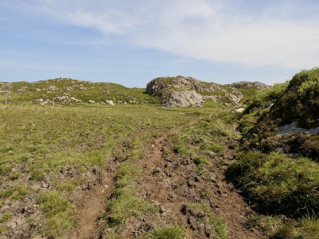
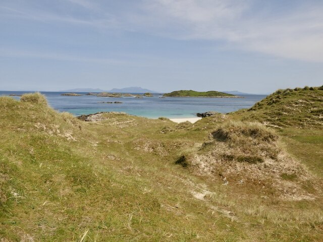
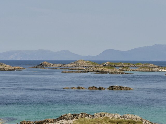
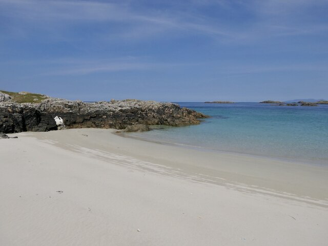
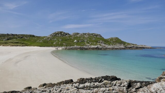
Sgeir Ghlas is a small uninhabited island located off the west coast of Argyllshire, Scotland. It lies in the Inner Hebrides region, specifically in the Sound of Jura, between the islands of Jura and Scarba. With a total area of approximately 0.04 square kilometers, Sgeir Ghlas is quite tiny and mostly comprised of rocky terrain.

The island's name, Sgeir Ghlas, translates to "green skerry" in Gaelic, which accurately describes its appearance during the warmer months when green vegetation covers the rocks. However, due to its exposed location, the island is often battered by strong currents and rough seas, making it a challenging place to access.

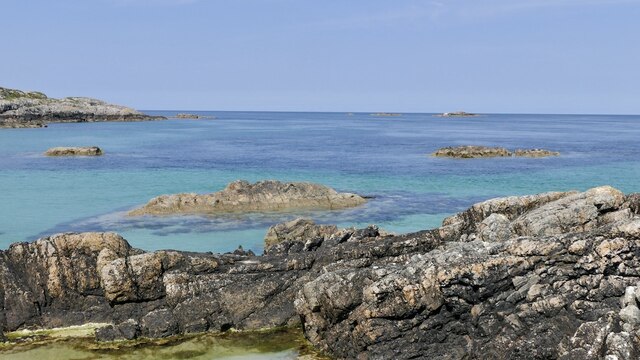
Sgeir Ghlas is known for its rich wildlife, particularly seabirds. The island serves as an important breeding ground for species such as guillemots, razorbills, and fulmars. These birds can be seen nesting on the cliffs and ledges of the island, creating a bustling scene during the breeding season.

In addition to seabirds, Sgeir Ghlas is also home to various marine species. The surrounding waters are frequented by seals, dolphins, and occasionally, porpoises. The island's rocky shores provide an ideal habitat for a variety of marine invertebrates and crustaceans.

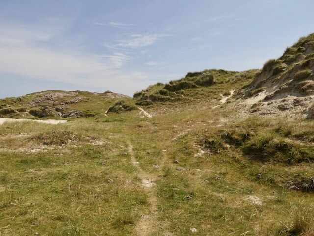
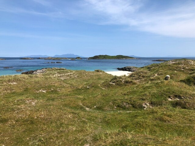
Due to its remote location and lack of facilities, Sgeir Ghlas is not easily accessible to the general public. However, it can be enjoyed from afar by taking a boat tour or observing from viewpoints on nearby islands. The island's natural beauty and abundant wildlife make it a popular spot for nature enthusiasts and birdwatchers.

If you have any feedback on the listing, please let us know in the comments section below.
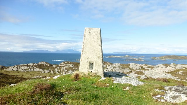
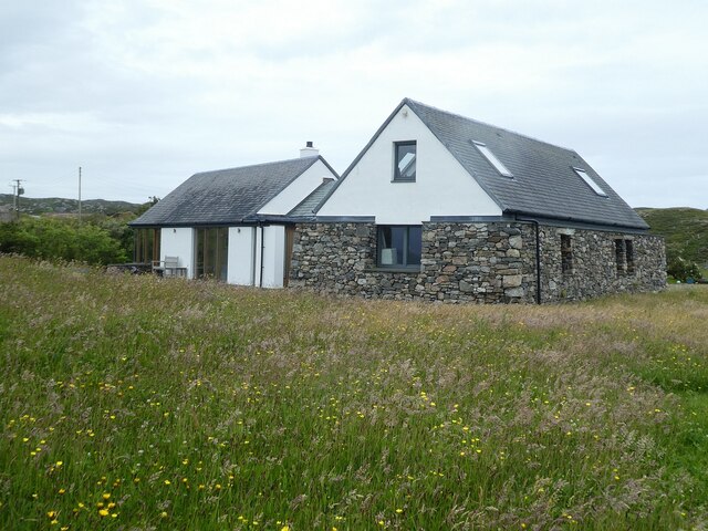
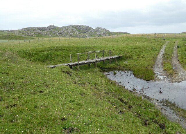
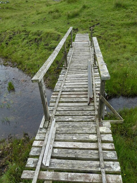
Sgeir Ghlas Images

Images are sourced within 2km of 56.698875/-6.4501782 or Grid Reference NM2765. Thanks to Geograph Open Source API. All images are credited.

Druim Nan Carn Trig A beautiful spot for a trig point on a sunny afternoon with Iain Brown and Martin Richardson.
Druim Nan Carn Trig
A beautiful spot for a trig point on a sunny afternoon with Iain Brown and Martin Richardson.
Cairns of Coll Rocks These skerries are slightly mislabelled on the OS map as "Cairns of Coll', a name that applies to the group of small islands just to the south, including Sùil Ghorm, Eag na Maoile and Eilean Mòr.
Cairns of Coll Rocks
These skerries are slightly mislabelled on the OS map as "Cairns of Coll', a name that applies to the group of small islands just to the south, including Sùil Ghorm, Eag na Maoile and Eilean Mòr.
Coll - Sorisdale - New build probably reusing old croft This newly built or extensively refurbished property is towards the northeastern end of the settlement of Sorisdale. It is near to the beach with superb views over Sorisdale Bay. Whether it is a home or a holiday cottage I don't know, but I think that it may incorporate one or possibly more former crofts.
Coll - Sorisdale - New build probably reusing old croft
This newly built or extensively refurbished property is towards the northeastern end of the settlement of Sorisdale. It is near to the beach with superb views over Sorisdale Bay. Whether it is a home or a holiday cottage I don't know, but I think that it may incorporate one or possibly more former crofts.
Coll - Sorisdale - Stream, ford and footbridge The track which winds its way through Sorisdale is seen here reappearing from a ford, while <a href="https://www.geograph.org.uk/photo/7239754">NM2763 : Coll - Sorisdale - Footbridge over stream</a> allows pedestrians to cross the stream without getting wet. The lumpy little hill in the background is Cnoc Mòr.
Coll - Sorisdale - Stream, ford and footbridge
The track which winds its way through Sorisdale is seen here reappearing from a ford, while NM2763 : Coll - Sorisdale - Footbridge over stream allows pedestrians to cross the stream without getting wet. The lumpy little hill in the background is Cnoc Mòr.
Coll - Sorisdale - Footbridge over stream This is a closer view of the wooden footbridge seen in <a href="https://www.geograph.org.uk/photo/7239752">NM2763 : Coll - Sorisdale - Stream, ford and footbridge</a>.
Coll - Sorisdale - Footbridge over stream
This is a closer view of the wooden footbridge seen in NM2763 : Coll - Sorisdale - Stream, ford and footbridge.
Coll - Sorisdale - Path to the beach This wide grassy path is a continuation of the track that has snaked through the settlement of Sorisdale. It is seen here as it runs along the northern side of <a href="https://www.geograph.org.uk/photo/7239717">NM2763 : Coll - Sorisdale - New build probably reusing old croft</a> and leads to <a href="https://www.geograph.org.uk/photo/7239726">NM2763 : Coll - Sorisdale - The beach</a>
Coll - Sorisdale - Path to the beach
This wide grassy path is a continuation of the track that has snaked through the settlement of Sorisdale. It is seen here as it runs along the northern side of NM2763 : Coll - Sorisdale - New build probably reusing old croft and leads to NM2763 : Coll - Sorisdale - The beach
Islands off Coll Looking past a skerry off Sanna, Ardnamurchan towards Eilean Mòr and the lighthouse on Sùil Ghorm.
Islands off Coll
Looking past a skerry off Sanna, Ardnamurchan towards Eilean Mòr and the lighthouse on Sùil Ghorm.
Islands off Coll Off the north tip of Coll. The profile is very much temporary as a cruise ship was passing on the far side.
Islands off Coll
Off the north tip of Coll. The profile is very much temporary as a cruise ship was passing on the far side.
Path to Tràigh Tuath Cattle poached track in very dry conditions.
Path to Tràigh Tuath
Cattle poached track in very dry conditions.
Dunes, Tràigh Tuath North end of Coll.
Dunes, Tràigh Tuath
North end of Coll.
Cairns of Coll Skerries off the north tip of Coll. Rùm in the background.
Cairns of Coll
Skerries off the north tip of Coll. Rùm in the background.
Cairns of Coll Lighthouse On Sùil Ghorm with the Rùm Cuillin as a backdrop.
Cairns of Coll Lighthouse
On Sùil Ghorm with the Rùm Cuillin as a backdrop.
Eilean Mòr, Coll The largest of the Cairns of Coll islands.
Eilean Mòr, Coll
The largest of the Cairns of Coll islands.
Dunes, Tràigh Tuath Towards a very fine beach at the north end of Coll.
Dunes, Tràigh Tuath
Towards a very fine beach at the north end of Coll.
Tràigh Tuath, Coll At higher tides there are two beaches here divided by rocks.
Tràigh Tuath, Coll
At higher tides there are two beaches here divided by rocks.
Tràigh Tuath, Coll A fine beach at the north end of Coll.
Tràigh Tuath, Coll
A fine beach at the north end of Coll.
Skerries off Tràigh Tuath, Coll
Dunes, Tràigh Tuath A view to the Cairns of Coll.
Dunes, Tràigh Tuath
A view to the Cairns of Coll.
Show me another place!

Sgeir Ghlas is located at Grid Ref: NM2765 (Lat: 56.698875, Lng: -6.4501782)

Unitary Authority: Argyll and Bute

Police Authority: Argyll and West Dunbartonshire

What 3 Words

///twigs.invisible.rent. Near Arinagour, Argyll & Bute

Related Wikis

Cairns of Coll

The Cairns of Coll refers primarily to a region of rocky outcrops in shallow waters extending from the north end of the Island of Coll in the Inner Hebrides...

Dùn Morbhaidh

Dùn Morbhaidh, also known as Dun Borbaidh, is a hill fort located on the Inner Hebridean island of Coll. The early 20th century antiquary Erskine Beveridge...

Coll

Coll (; Scottish Gaelic: Cola; Scots: Coll) is an island located west of the Isle of Mull in the Inner Hebrides of Scotland. Coll is known for its sandy...

Nearby Amenities

Located within 500m of 56.698875,-6.4501782
Natural: rock
Source: OS7
Tidal: yes
Lat/Long: 56.7014833/-6.4445327
Natural: rock
Source: OS7
Tidal: yes
Lat/Long: 56.7012384/-6.4433882
Natural: rock
Source: OS7
Tidal: yes
Lat/Long: 56.7026725/-6.4544517
Natural: rock
Source: OS7
Tidal: yes
Lat/Long: 56.6951073/-6.4537748
Natural: rock
Source: OS7
Tidal: yes
Lat/Long: 56.6986037/-6.4508928
Natural: rock
Source: OS7
Tidal: yes
Lat/Long: 56.6983598/-6.4551788
Natural: rock
Source: OS7
Tidal: yes
Lat/Long: 56.6992542/-6.4498582
Natural: rock
Source: OS7
Tidal: yes
Lat/Long: 56.6967742/-6.4519643
The data included in this document is from www.openstreetmap.org. The data is made available under ODbL.

Have you been to Sgeir Ghlas?

Leave your review of Sgeir Ghlas below (or comments, questions and feedback).