Eag na Maoile

Island in Argyllshire

Scotland

Eag na Maoile

Druim Nan Carn Trig A beautiful spot for a trig point on a sunny afternoon with Iain Brown and Martin Richardson.
Druim Nan Carn Trig Credit: Rude Health

Eag na Maoile is a small island located off the coast of Argyllshire, Scotland. It is known for its picturesque landscapes and rich history. The island is approximately 2 miles long and 1 mile wide, making it a perfect destination for nature enthusiasts and those seeking tranquility.

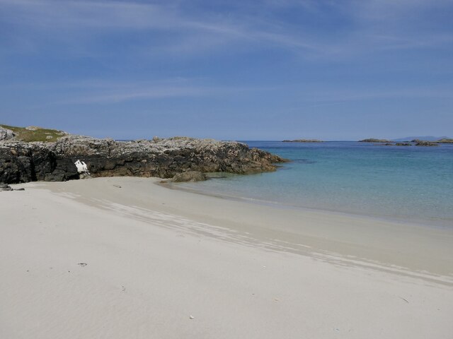
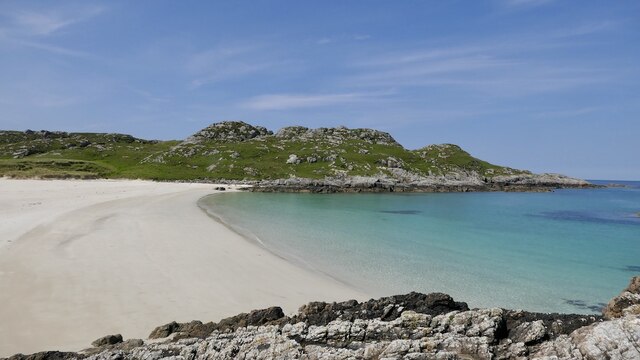
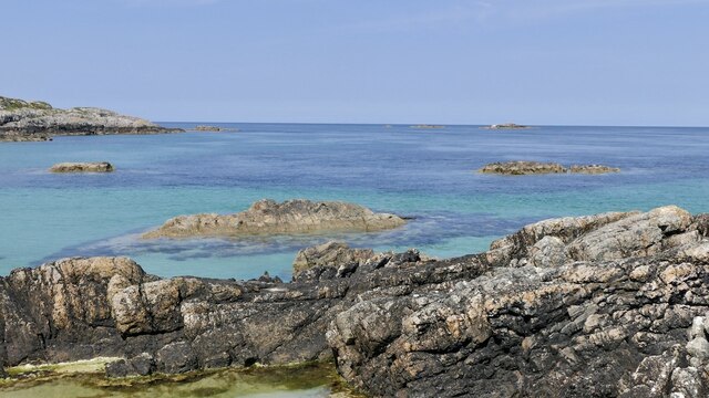
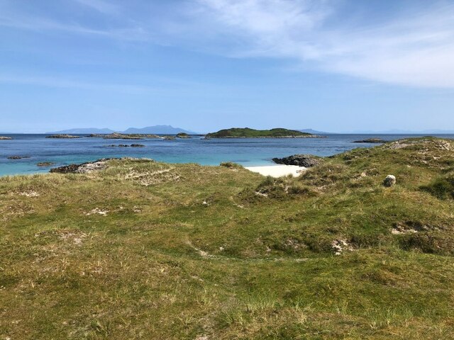
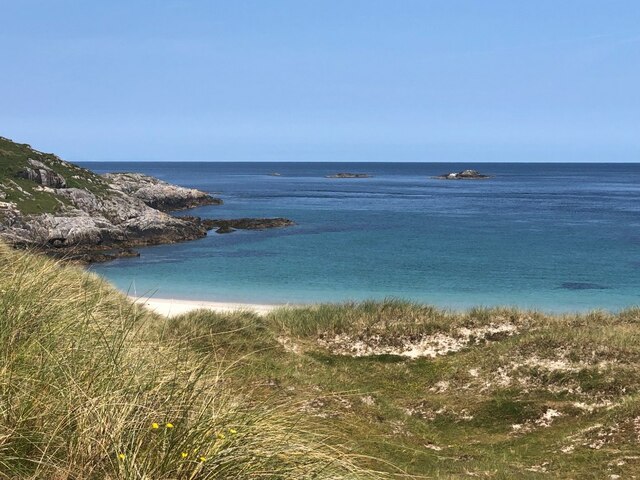
The island is characterized by rugged cliffs, sandy beaches, and rolling hills covered in lush greenery. It offers breathtaking views of the surrounding sea and nearby islands, making it a popular spot for photography and hiking. Wildlife is abundant on Eag na Maoile, with various bird species such as puffins, gannets, and eagles inhabiting the island.

The history of Eag na Maoile dates back centuries, with evidence of human settlements dating as far back as the Iron Age. The island was once a thriving community, but over the years, the population dwindled, and now it is mostly uninhabited. However, remnants of ancient structures, including standing stones and ruins, can still be seen around the island, serving as a reminder of its vibrant past.

Access to Eag na Maoile is mainly by boat, with regular ferry services available from the mainland. Visitors can explore the island on foot, taking in the natural beauty and exploring historical sites. The island offers a peaceful retreat away from the hustle and bustle of modern life, making it a beloved destination for nature lovers and history enthusiasts alike.

If you have any feedback on the listing, please let us know in the comments section below.

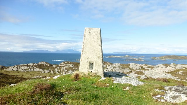
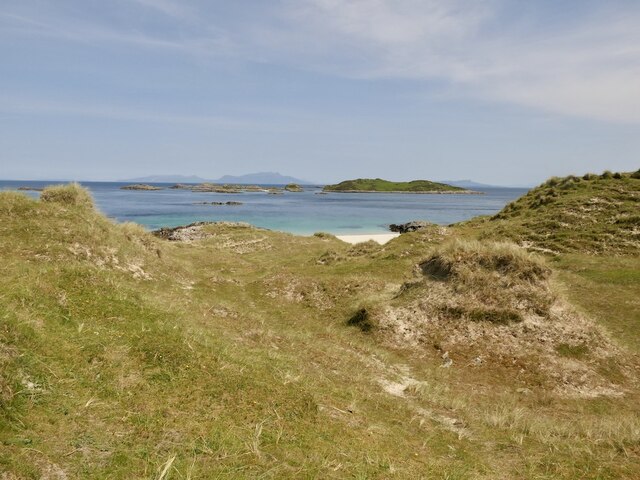
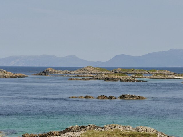
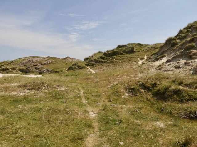
Eag na Maoile Images

Images are sourced within 2km of 56.702169/-6.4511237 or Grid Reference NM2765. Thanks to Geograph Open Source API. All images are credited.

Druim Nan Carn Trig A beautiful spot for a trig point on a sunny afternoon with Iain Brown and Martin Richardson.
Druim Nan Carn Trig
A beautiful spot for a trig point on a sunny afternoon with Iain Brown and Martin Richardson.
Cairns of Coll Rocks These skerries are slightly mislabelled on the OS map as "Cairns of Coll', a name that applies to the group of small islands just to the south, including Sùil Ghorm, Eag na Maoile and Eilean Mòr.
Cairns of Coll Rocks
These skerries are slightly mislabelled on the OS map as "Cairns of Coll', a name that applies to the group of small islands just to the south, including Sùil Ghorm, Eag na Maoile and Eilean Mòr.
Islands off Coll Looking past a skerry off Sanna, Ardnamurchan towards Eilean Mòr and the lighthouse on Sùil Ghorm.
Islands off Coll
Looking past a skerry off Sanna, Ardnamurchan towards Eilean Mòr and the lighthouse on Sùil Ghorm.
Islands off Coll Off the north tip of Coll. The profile is very much temporary as a cruise ship was passing on the far side.
Islands off Coll
Off the north tip of Coll. The profile is very much temporary as a cruise ship was passing on the far side.
Dunes, Tràigh Tuath North end of Coll.
Dunes, Tràigh Tuath
North end of Coll.
Cairns of Coll Skerries off the north tip of Coll. Rùm in the background.
Cairns of Coll
Skerries off the north tip of Coll. Rùm in the background.
Cairns of Coll Lighthouse On Sùil Ghorm with the Rùm Cuillin as a backdrop.
Cairns of Coll Lighthouse
On Sùil Ghorm with the Rùm Cuillin as a backdrop.
Eilean Mòr, Coll The largest of the Cairns of Coll islands.
Eilean Mòr, Coll
The largest of the Cairns of Coll islands.
Dunes, Tràigh Tuath Towards a very fine beach at the north end of Coll.
Dunes, Tràigh Tuath
Towards a very fine beach at the north end of Coll.
Tràigh Tuath, Coll At higher tides there are two beaches here divided by rocks.
Tràigh Tuath, Coll
At higher tides there are two beaches here divided by rocks.
Tràigh Tuath, Coll A fine beach at the north end of Coll.
Tràigh Tuath, Coll
A fine beach at the north end of Coll.
Skerries off Tràigh Tuath, Coll
Dunes, Tràigh Tuath A view to the Cairns of Coll.
Dunes, Tràigh Tuath
A view to the Cairns of Coll.
Dunes, Tràigh Tuath
Dunes, Tràigh Tuath
Suil Ghorm Rocks and lighthouse north east of Coll.
Suil Ghorm
Rocks and lighthouse north east of Coll.
Survey boat moored on skerries west of Eilean Mor The boat was undertaking a seal and whale-watch cruise from Tobermory to the north east tip of Coll
Survey boat moored on skerries west of Eilean Mor
The boat was undertaking a seal and whale-watch cruise from Tobermory to the north east tip of Coll
view west across skerries to the open sea photo taken on a visit to skerries off the north tip of Coll
view west across skerries to the open sea
photo taken on a visit to skerries off the north tip of Coll
Cove 1 km NW of Sorisdale, Coll View northeastwards over small cove in the east of the square. The cove's eastern flank, visible here, consists of a part of the headland Garbh Aird Bheag. In the distance (and mostly out of square) are the skerries and small islands which lie off the north eastern tip of Coll.
Cove 1 km NW of Sorisdale, Coll
View northeastwards over small cove in the east of the square. The cove's eastern flank, visible here, consists of a part of the headland Garbh Aird Bheag. In the distance (and mostly out of square) are the skerries and small islands which lie off the north eastern tip of Coll.
Show me another place!

Eag na Maoile is located at Grid Ref: NM2765 (Lat: 56.702169, Lng: -6.4511237)

Unitary Authority: Argyll and Bute

Police Authority: Argyll and West Dunbartonshire

What 3 Words

///soonest.compress.hothouse. Near Arinagour, Argyll & Bute

Related Wikis

Cairns of Coll

The Cairns of Coll refers primarily to a region of rocky outcrops in shallow waters extending from the north end of the Island of Coll in the Inner Hebrides...

Dùn Morbhaidh

Dùn Morbhaidh, also known as Dun Borbaidh, is a hill fort located on the Inner Hebridean island of Coll. The early 20th century antiquary Erskine Beveridge...

Nearby Amenities

Located within 500m of 56.702169,-6.4511237
Natural: rock
Source: OS7
Tidal: yes
Lat/Long: 56.7014833/-6.4445327
Natural: rock
Source: OS7
Tidal: yes
Lat/Long: 56.7012384/-6.4433882
Natural: rock
Source: OS7
Tidal: yes
Lat/Long: 56.704736/-6.4524806
Natural: rock
Source: OS7
Tidal: yes
Lat/Long: 56.704736/-6.4537522
Natural: rock
Source: OS7
Tidal: yes
Lat/Long: 56.7036518/-6.453943
Natural: rock
Source: OS7
Tidal: yes
Lat/Long: 56.7031622/-6.4543881
Natural: rock
Source: OS7
Tidal: yes
Lat/Long: 56.7026725/-6.4544517
Natural: rock
Source: OS7
Tidal: yes
Lat/Long: 56.7036168/-6.4553418
Natural: rock
Source: OS7
Tidal: yes
Lat/Long: 56.6986037/-6.4508928
Natural: rock
Source: OS7
Tidal: yes
Lat/Long: 56.6983598/-6.4551788
Natural: rock
Source: OS7
Tidal: yes
Lat/Long: 56.6992542/-6.4498582
Seamark Light Character: Fl
Seamark Light Colour: white
Seamark Light Height: 23
Seamark Light Period: 12
Seamark Light Range: 10
Seamark Light Reference: A 4084
Seamark Light Sequence: 0.5+(11.5)
Seamark Type: light_minor
Source: US NGA Pub. 114. 2011-05-26.
Lat/Long: 56.70435/-6.44555
The data included in this document is from www.openstreetmap.org. The data is made available under ODbL.

Have you been to Eag na Maoile?

Leave your review of Eag na Maoile below (or comments, questions and feedback).