Sgeir Dhomhnuill Chuagaich

Island in Ross-shire

Scotland

Sgeir Dhomhnuill Chuagaich

Old hardstandings at Tob Blar Meadha Abandoned lobster loading hardstandings at the lobster pond.
Old hardstandings at Tob Blar Meadha Credit: Gus Macdonald

Sgeir Dhomhnuill Chuagaich is a small uninhabited island located off the coast of Ross-shire in Scotland. It is part of the Inner Hebrides archipelago and sits in the waters of the North Atlantic Ocean. The island is approximately 1.5 kilometers long and is characterized by its rugged and rocky terrain.

Sgeir Dhomhnuill Chuagaich is known for its rich biodiversity and serves as an important nesting site for various seabirds, including puffins, guillemots, and razorbills. The island's cliffs and rocky outcrops provide ideal nesting conditions, offering protection from predators. It is also home to a variety of other bird species, such as gulls and fulmars.

Due to its isolation and lack of human presence, Sgeir Dhomhnuill Chuagaich is a haven for wildlife. Grey seals can often be spotted lounging on its shores, while otters can be seen foraging in the surrounding waters. The island's waters are also frequented by dolphins and porpoises.

Access to Sgeir Dhomhnuill Chuagaich is primarily by boat, and visitors are advised to take caution due to the challenging conditions around the island. The rugged coastline and unpredictable weather make it an ideal destination for nature enthusiasts and birdwatchers looking to explore a pristine and untouched habitat.

Overall, Sgeir Dhomhnuill Chuagaich offers a glimpse into the wild and untamed beauty of the Scottish coastline, providing a unique and memorable experience for those who venture to its shores.

If you have any feedback on the listing, please let us know in the comments section below.

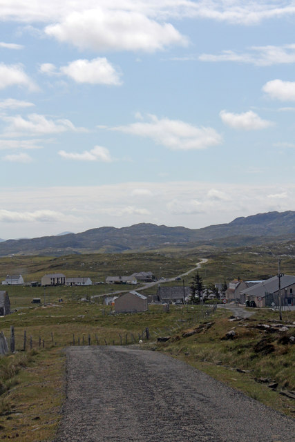
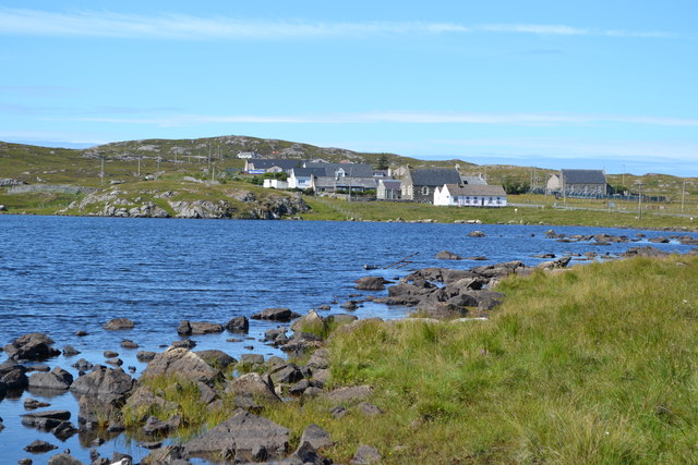
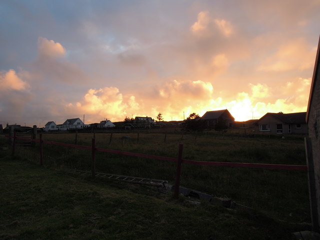
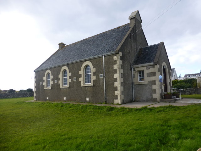
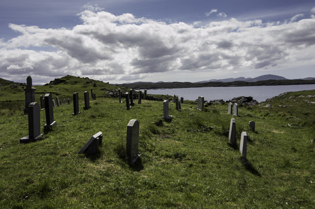
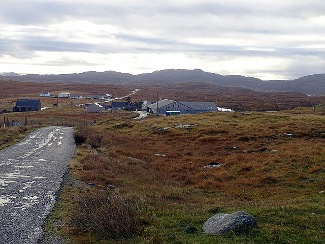
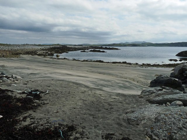
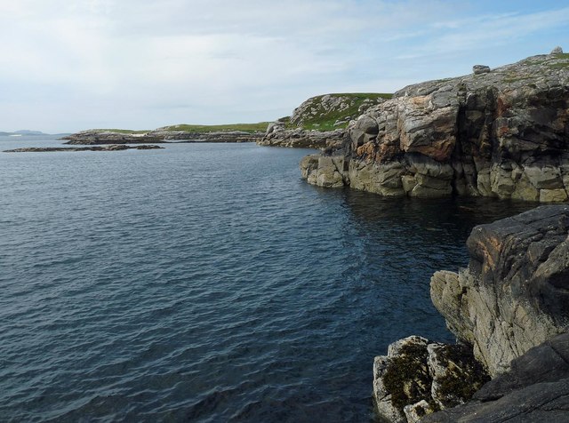
Sgeir Dhomhnuill Chuagaich Images

Images are sourced within 2km of 58.237924/-6.8183092 or Grid Reference NB1737. Thanks to Geograph Open Source API. All images are credited.

Old hardstandings at Tob Blar Meadha Abandoned lobster loading hardstandings at the lobster pond.
Old hardstandings at Tob Blar Meadha
Abandoned lobster loading hardstandings at the lobster pond.
War Memorial, Breacleit The memorial stands on a mound at the crossroads in the centre of Breacleit / Breaclete, the capital of Great Bernera / Bearnaraigh. On the skyline is the Bernera Community Centre.
<span class="nowrap"><a title="http://www.uigandbernera.com/" rel="nofollow ugc noopener" href="http://www.uigandbernera.com/">Link</a><img style="margin-left:2px;" alt="External link" title="External link - shift click to open in new window" src="https://s1.geograph.org.uk/img/external.png" width="10" height="10"/></span>
War Memorial, Breacleit
The memorial stands on a mound at the crossroads in the centre of Breacleit / Breaclete, the capital of Great Bernera / Bearnaraigh. On the skyline is the Bernera Community Centre. LinkExternal link
Breacleit, Bernera Summer flowers, church and school in the village centre.
<span class="nowrap"><a title="http://www.uigandbernera.com/" rel="nofollow ugc noopener" href="http://www.uigandbernera.com/">Link</a><img style="margin-left:2px;" alt="External link" title="External link - shift click to open in new window" src="https://s1.geograph.org.uk/img/external.png" width="10" height="10"/></span>
Breacleit, Bernera
Summer flowers, church and school in the village centre. LinkExternal link
Lochan Below Beinn Breacleit Reedy lochan with rocky hillside, south-east of the Crofters' Memorial on Great Bernera / Bearnaraigh.
<span class="nowrap"><a title="http://www.uigandbernera.com/" rel="nofollow ugc noopener" href="http://www.uigandbernera.com/">Link</a><img style="margin-left:2px;" alt="External link" title="External link - shift click to open in new window" src="https://s1.geograph.org.uk/img/external.png" width="10" height="10"/></span>
Lochan Below Beinn Breacleit
Reedy lochan with rocky hillside, south-east of the Crofters' Memorial on Great Bernera / Bearnaraigh. LinkExternal link
Breacleit church and war memorial Breacleit (or Breaclete) is the largest settlement on Great Bernera, an island off the west coast of Lewis attached to that larger island by a bridge. The little church seen here looks to date from the late C19th or early C20th. To its right can be seen the Bernera War Memorial <span class="nowrap"><a title="http://warmemscot.s4.bizhat.com/viewtopic.php?t=323" rel="nofollow ugc noopener" href="http://warmemscot.s4.bizhat.com/viewtopic.php?t=323">Link</a><img style="margin-left:2px;" alt="External link" title="External link - shift click to open in new window" src="https://s1.geograph.org.uk/img/external.png" width="10" height="10"/></span> 
Behind the church can be seen a little of Loch Breacleit.
Breacleit church and war memorial
Breacleit (or Breaclete) is the largest settlement on Great Bernera, an island off the west coast of Lewis attached to that larger island by a bridge. The little church seen here looks to date from the late C19th or early C20th. To its right can be seen the Bernera War Memorial LinkExternal link Behind the church can be seen a little of Loch Breacleit.
The road to Tacleit For anyone who enjoys driving, this is rather a wonderful sight - a well-maintained twisty lane through open countryside with wonderful views.
The lane leads to the settlement of Tacleit from the village of Breacleit on Great Bernera.
The road to Tacleit
For anyone who enjoys driving, this is rather a wonderful sight - a well-maintained twisty lane through open countryside with wonderful views. The lane leads to the settlement of Tacleit from the village of Breacleit on Great Bernera.
View to the mountains of Harris The massive bulk of the mountains of North Harris command the view southwest from Breacleit on Great Bernera.
View to the mountains of Harris
The massive bulk of the mountains of North Harris command the view southwest from Breacleit on Great Bernera.
Road into Breacleit from Bostadh
View across Loch Geal towards Breacleit
Breacleit explosion sunset
Church Of Scotland, Lochs In Bernera
Burial ground at Tolsta Carloway
The settlement at Breacleit An important settlement on Great Bernera/Bearnaraigh, includes a school and fire station.
The settlement at Breacleit
An important settlement on Great Bernera/Bearnaraigh, includes a school and fire station.
Tràigh Shanndaig, Isle of Lewis Tràigh Shanndaig is a small beach on Loch Ròg an Ear.
Tràigh Shanndaig, Isle of Lewis
Tràigh Shanndaig is a small beach on Loch Ròg an Ear.
Coastline near Tolastadh Chaolais, Isle of Lewis Looking along Loch Ròg an Ear towards <a href="https://www.geograph.org.uk/photo/1965130">NB1143 : Seanna Chnoc (Seana Bheinn) behind Bearasaigh</a> on the horizon.
Coastline near Tolastadh Chaolais, Isle of Lewis
Looking along Loch Ròg an Ear towards NB1143 : Seanna Chnoc (Seana Bheinn) behind Bearasaigh on the horizon.
Coastline by Sgeir Roibin, Great Bernera Sgeir Roibin is the skerry in the centre of the photo.  The island beyond is Eughlam, most of which lies within the grid square. In the distance is the island of Craigeam.
Coastline by Sgeir Roibin, Great Bernera
Sgeir Roibin is the skerry in the centre of the photo. The island beyond is Eughlam, most of which lies within the grid square. In the distance is the island of Craigeam.
Coastline, Rubha na h-Airde, Great Bernera Looking towards the skerry of Sgeir Bhàn which lies within the grid square.
Coastline, Rubha na h-Airde, Great Bernera
Looking towards the skerry of Sgeir Bhàn which lies within the grid square.
Lazy beds below Cnoc Righseodh, Great Bernera/Beàrnaraigh
Show me another place!

Sgeir Dhomhnuill Chuagaich is located at Grid Ref: NB1737 (Lat: 58.237924, Lng: -6.8183092)

Unitary Authority: Na h-Eileanan an Iar

Police Authority: Highlands and Islands

What 3 Words

///noodle.earlobes.blank. Near Carloway, Na h-Eileanan Siar

Related Wikis

Breaclete

Breacleit (or Roulanish; Scottish Gaelic: Breacleit; Old Norse: Breiðiklettr) is the central village on Great Bernera in the Outer Hebrides, Scotland....

Great Bernera

Great Bernera (; Scottish Gaelic: Beàrnaraigh Mòr), often known just as Bernera (Scottish Gaelic: Beàrnaraigh), is an island and community in the Outer...

Tolsta Chaolais

Tolsta Chaolais (also Tolastadh Chaolais, Tolstadh a' Chaolais) is a village on the Isle of Lewis, Scotland. It consists of about forty houses, clustered...

Dun Bharabhat, Great Bernera

Dun Bharabhat (or Dun Baravat) is an Iron Age galleried dun or "semi-broch" situated on the island of Great Bernera near Lewis in Scotland (grid reference...

Nearby Amenities

Located within 500m of 58.237924,-6.8183092
Aird Mhor
Natural: peninsula
Lat/Long: 58.2349392/-6.8171592
The data included in this document is from www.openstreetmap.org. The data is made available under ODbL.

Have you been to Sgeir Dhomhnuill Chuagaich?

Leave your review of Sgeir Dhomhnuill Chuagaich below (or comments, questions and feedback).