Loch Ròg an Ear

Sea, Estuary, Creek in Ross-shire

Scotland

Loch Ròg an Ear

Old hardstandings at Tob Blar Meadha Abandoned lobster loading hardstandings at the lobster pond.
Old hardstandings at Tob Blar Meadha Credit: Gus Macdonald

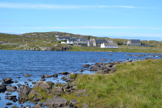
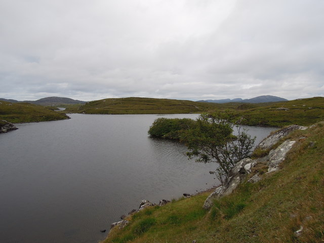
Loch Ròg an Ear is a picturesque sea loch located in Ross-shire, Scotland. Nestled between the towns of Ullapool and Gairloch, this body of water is renowned for its stunning beauty and diverse ecosystem.

Stretching approximately 10 kilometers inland, Loch Ròg an Ear is characterized by its deep, clear waters that reflect the surrounding mountains and lush green landscapes. The loch is formed by a narrow inlet from the sea, creating a sheltered estuary that provides a haven for a variety of marine and bird species.

The surrounding area is rich in wildlife, with numerous bird species such as herons, oystercatchers, and terns making their home along the shores. In addition, seals can often be spotted basking on the rocks or swimming in the waters, adding to the charm of the loch.

The loch is also a popular destination for water sports enthusiasts, with kayaking and sailing being popular activities on its calm waters. Fishing is another popular pastime, with the loch being home to a variety of fish species, including salmon and trout.

For those looking to explore the area, there are several walking trails and viewpoints that offer breathtaking views of Loch Ròg an Ear and its surroundings. The loch is also easily accessible by road, with a parking area available for visitors.

In summary, Loch Ròg an Ear is a picturesque sea loch in Ross-shire, Scotland, known for its stunning beauty, diverse wildlife, and recreational opportunities. Whether you're a nature lover, a water sports enthusiast, or simply seeking a tranquil escape, Loch Ròg an Ear provides an idyllic setting to unwind and appreciate the wonders of Scotland's natural landscapes.

If you have any feedback on the listing, please let us know in the comments section below.

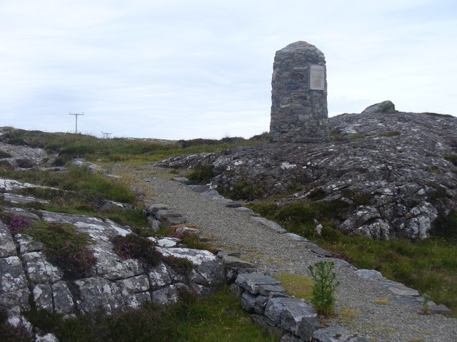
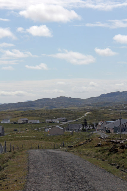
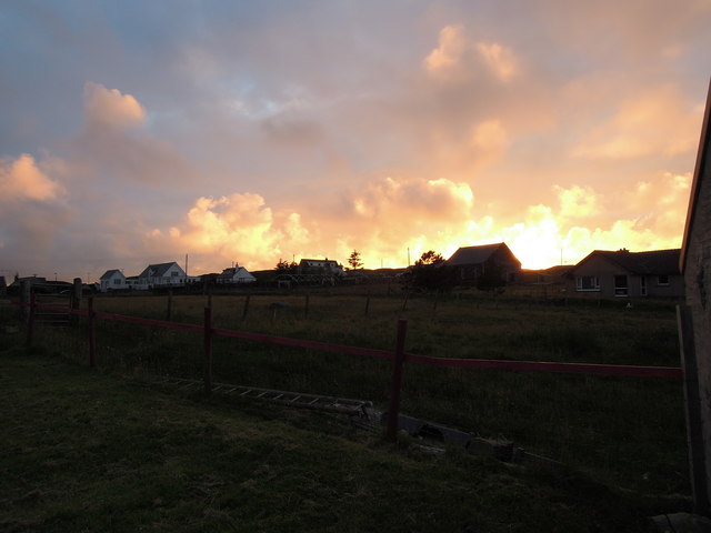
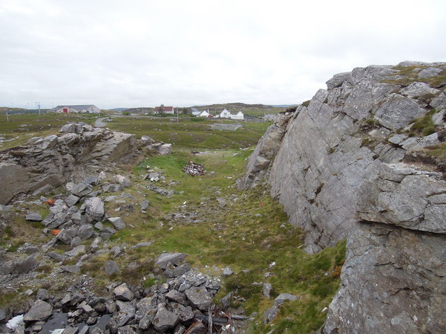
Loch Ròg an Ear Images

Images are sourced within 2km of 58.23323/-6.8210995 or Grid Reference NB1737. Thanks to Geograph Open Source API. All images are credited.

Old hardstandings at Tob Blar Meadha Abandoned lobster loading hardstandings at the lobster pond.
Old hardstandings at Tob Blar Meadha
Abandoned lobster loading hardstandings at the lobster pond.
Craft workshop in Kirkibost One of the old shellfish processing factories at Kirkibost (Circeabost) is now reborn as a craftshop.
Craft workshop in Kirkibost
One of the old shellfish processing factories at Kirkibost (Circeabost) is now reborn as a craftshop.
Cleibh ghiomaich aig cidhe Chirceabost Lobster creels at Kirkibost harbour
Cleibh ghiomaich aig cidhe Chirceabost
Lobster creels at Kirkibost harbour
War Memorial, Breacleit The memorial stands on a mound at the crossroads in the centre of Breacleit / Breaclete, the capital of Great Bernera / Bearnaraigh. On the skyline is the Bernera Community Centre.
<span class="nowrap"><a title="http://www.uigandbernera.com/" rel="nofollow ugc noopener" href="http://www.uigandbernera.com/">Link</a><img style="margin-left:2px;" alt="External link" title="External link - shift click to open in new window" src="https://s1.geograph.org.uk/img/external.png" width="10" height="10"/></span>
War Memorial, Breacleit
The memorial stands on a mound at the crossroads in the centre of Breacleit / Breaclete, the capital of Great Bernera / Bearnaraigh. On the skyline is the Bernera Community Centre. LinkExternal link
Breacleit, Bernera Summer flowers, church and school in the village centre.
<span class="nowrap"><a title="http://www.uigandbernera.com/" rel="nofollow ugc noopener" href="http://www.uigandbernera.com/">Link</a><img style="margin-left:2px;" alt="External link" title="External link - shift click to open in new window" src="https://s1.geograph.org.uk/img/external.png" width="10" height="10"/></span>
Breacleit, Bernera
Summer flowers, church and school in the village centre. LinkExternal link
Loch Ionail Freshwater loch on the island of Great Bernera / Bearnaraigh.
<span class="nowrap"><a title="http://www.uigandbernera.com/" rel="nofollow ugc noopener" href="http://www.uigandbernera.com/">Link</a><img style="margin-left:2px;" alt="External link" title="External link - shift click to open in new window" src="https://s1.geograph.org.uk/img/external.png" width="10" height="10"/></span>
Loch Ionail
Freshwater loch on the island of Great Bernera / Bearnaraigh. LinkExternal link
Loch Ruig Sanndabhat Small and reedy freshwater loch below the slopes of Beinn Breacleit, Great Bernera / Bearnaraigh.
<span class="nowrap"><a title="http://www.uigandbernera.com/" rel="nofollow ugc noopener" href="http://www.uigandbernera.com/">Link</a><img style="margin-left:2px;" alt="External link" title="External link - shift click to open in new window" src="https://s1.geograph.org.uk/img/external.png" width="10" height="10"/></span>
Loch Ruig Sanndabhat
Small and reedy freshwater loch below the slopes of Beinn Breacleit, Great Bernera / Bearnaraigh. LinkExternal link
Crofters' Memorial Cairn, Great Bernera Erected in memory of April 1874 when local crofters marched to Lews Castle in Stornoway. They were protesting to Sir James Matheson that they had received eviction notices after using the moorland for centuries. The gentry wanted to use it for leisure / sport.
<span class="nowrap"><a title="http://www.uigandbernera.com/" rel="nofollow ugc noopener" href="http://www.uigandbernera.com/">Link</a><img style="margin-left:2px;" alt="External link" title="External link - shift click to open in new window" src="https://s1.geograph.org.uk/img/external.png" width="10" height="10"/></span>
Crofters' Memorial Cairn, Great Bernera
Erected in memory of April 1874 when local crofters marched to Lews Castle in Stornoway. They were protesting to Sir James Matheson that they had received eviction notices after using the moorland for centuries. The gentry wanted to use it for leisure / sport. LinkExternal link
Lochan Below Beinn Breacleit Reedy lochan with rocky hillside, south-east of the Crofters' Memorial on Great Bernera / Bearnaraigh.
<span class="nowrap"><a title="http://www.uigandbernera.com/" rel="nofollow ugc noopener" href="http://www.uigandbernera.com/">Link</a><img style="margin-left:2px;" alt="External link" title="External link - shift click to open in new window" src="https://s1.geograph.org.uk/img/external.png" width="10" height="10"/></span>
Lochan Below Beinn Breacleit
Reedy lochan with rocky hillside, south-east of the Crofters' Memorial on Great Bernera / Bearnaraigh. LinkExternal link
Breacleit church and war memorial Breacleit (or Breaclete) is the largest settlement on Great Bernera, an island off the west coast of Lewis attached to that larger island by a bridge. The little church seen here looks to date from the late C19th or early C20th. To its right can be seen the Bernera War Memorial <span class="nowrap"><a title="http://warmemscot.s4.bizhat.com/viewtopic.php?t=323" rel="nofollow ugc noopener" href="http://warmemscot.s4.bizhat.com/viewtopic.php?t=323">Link</a><img style="margin-left:2px;" alt="External link" title="External link - shift click to open in new window" src="https://s1.geograph.org.uk/img/external.png" width="10" height="10"/></span> 
Behind the church can be seen a little of Loch Breacleit.
Breacleit church and war memorial
Breacleit (or Breaclete) is the largest settlement on Great Bernera, an island off the west coast of Lewis attached to that larger island by a bridge. The little church seen here looks to date from the late C19th or early C20th. To its right can be seen the Bernera War Memorial LinkExternal link Behind the church can be seen a little of Loch Breacleit.
The road to Tacleit For anyone who enjoys driving, this is rather a wonderful sight - a well-maintained twisty lane through open countryside with wonderful views.
The lane leads to the settlement of Tacleit from the village of Breacleit on Great Bernera.
The road to Tacleit
For anyone who enjoys driving, this is rather a wonderful sight - a well-maintained twisty lane through open countryside with wonderful views. The lane leads to the settlement of Tacleit from the village of Breacleit on Great Bernera.
View to the mountains of Harris The massive bulk of the mountains of North Harris command the view southwest from Breacleit on Great Bernera.
View to the mountains of Harris
The massive bulk of the mountains of North Harris command the view southwest from Breacleit on Great Bernera.
Road into Breacleit from Bostadh
View across Loch Geal towards Breacleit
View towards Circebost Pier
Breacleit explosion sunset
Quarry at Buaile Chruidh An old quarry where hard Lewisian gneiss was extracted to construct not only many houses in the village but also public buildings seen in the background such as Bernera School, The Church of Scotland and the Free Kirk.
Quarry at Buaile Chruidh
An old quarry where hard Lewisian gneiss was extracted to construct not only many houses in the village but also public buildings seen in the background such as Bernera School, The Church of Scotland and the Free Kirk.
Loch Ional A very peaceful place
Loch Ional
A very peaceful place
Show me another place!

Loch Ròg an Ear is located at Grid Ref: NB1737 (Lat: 58.23323, Lng: -6.8210995)

Unitary Authority: Na h-Eileanan an Iar

Police Authority: Highlands and Islands

What 3 Words

///blitz.soonest.officials. Near Carloway, Na h-Eileanan Siar

Related Wikis

Breaclete

Breacleit (or Roulanish; Scottish Gaelic: Breacleit; Old Norse: Breiðiklettr) is the central village on Great Bernera in the Outer Hebrides, Scotland....

Great Bernera

Great Bernera (; Scottish Gaelic: Beàrnaraigh Mòr), often known just as Bernera (Scottish Gaelic: Beàrnaraigh), is an island and community in the Outer...

Dun Bharabhat, Great Bernera

Dun Bharabhat (or Dun Baravat) is an Iron Age galleried dun or "semi-broch" situated on the island of Great Bernera near Lewis in Scotland (grid reference...

Tolsta Chaolais

Tolsta Chaolais (also Tolastadh Chaolais, Tolstadh a' Chaolais) is a village on the Isle of Lewis, Scotland. It consists of about forty houses, clustered...

Callanish VIII

The Callanish VIII stone setting is one of many megalithic structures around the better-known (and larger) Calanais I on the west coast of the Isle of...

Bernera Riot

The Bernera Riot occurred in 1874, on the island of Great Bernera, in Scotland in response to the Highland Clearances. The use of the term 'Bernera Riot...

Ceabhaigh

Ceabhaigh is a small island in an arm of Loch Ròg on the west coast of Lewis in the Outer Hebrides of Scotland. It is about 25 hectares (62 acres) in extent...

Dun Carloway

Dun Carloway (Scottish Gaelic: Dùn Chàrlabhaigh) is a broch situated in the district of Carloway, on the west coast of the Isle of Lewis, Scotland (grid...

Nearby Amenities

Located within 500m of 58.23323,-6.8210995
Historic: archaeological_site
Lat/Long: 58.2307338/-6.8269497
Aird Mhor
Natural: peninsula
Lat/Long: 58.2349392/-6.8171592
Tob Blar Meadha
Natural: bay
Lat/Long: 58.2321433/-6.8170948
Tob Cheurabhagh
Natural: bay
Lat/Long: 58.2304097/-6.8202594
Tob na Muilne
Natural: bay
Lat/Long: 58.2315733/-6.8272438
Loch Riosaigh
Natural: bay
Lat/Long: 58.2340642/-6.8267074
The data included in this document is from www.openstreetmap.org. The data is made available under ODbL.

Have you been to Loch Ròg an Ear?

Leave your review of Loch Ròg an Ear below (or comments, questions and feedback).