Usprig

Island in Argyllshire

Scotland

Usprig

Rocks at An Dubh-laoig
Rocks at An Dubh-laoig Credit: Mick Garratt

Usprig is a small island located in Argyllshire, Scotland. Situated in the Inner Hebrides, it lies off the western coast of the mainland and is part of the larger Argyll and Bute council area. The island covers an area of around 3 square miles and has a population of approximately 150 residents.

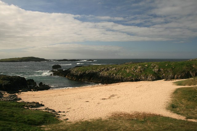
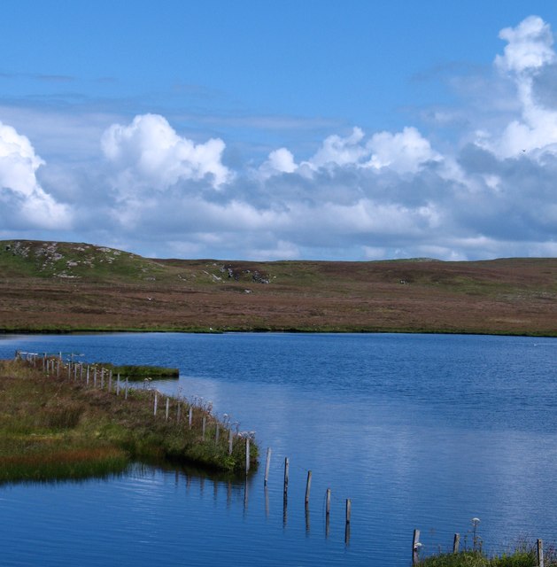
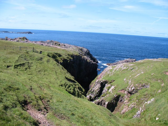
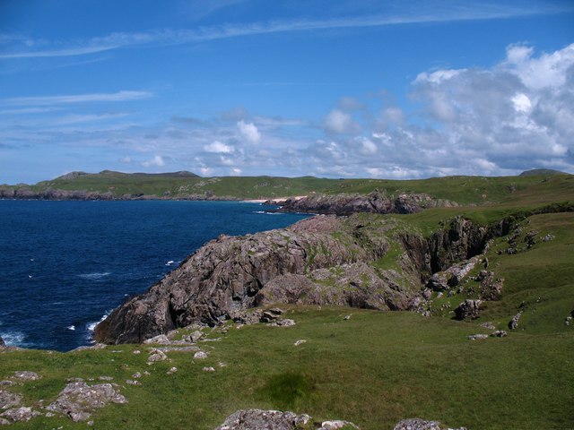
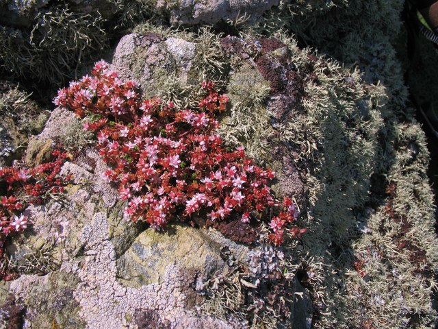
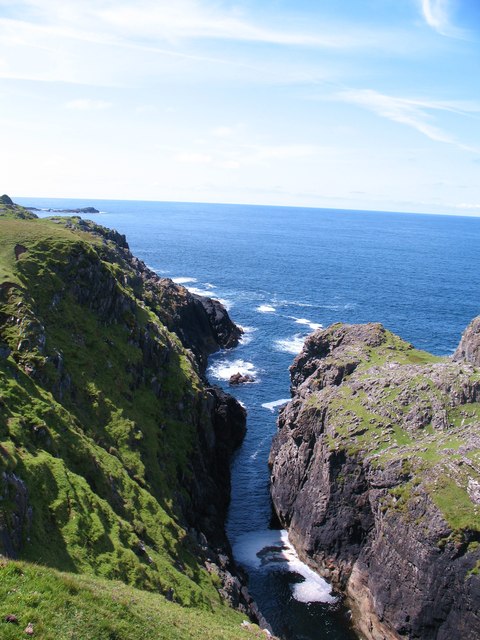
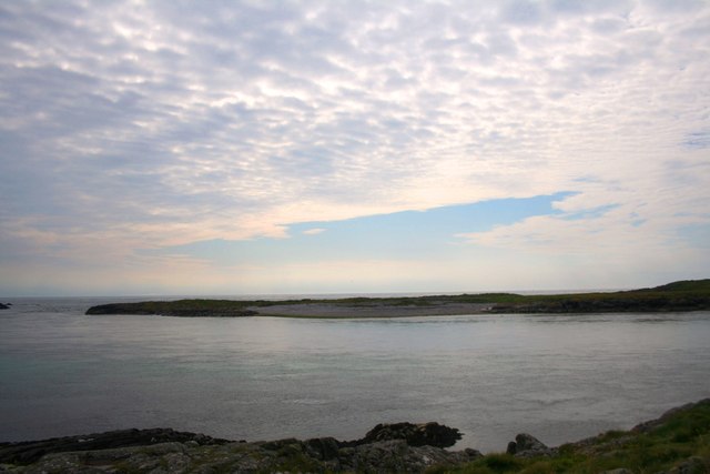
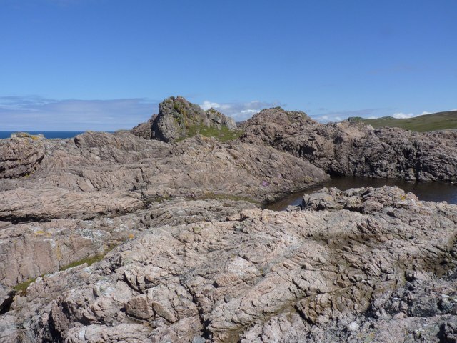
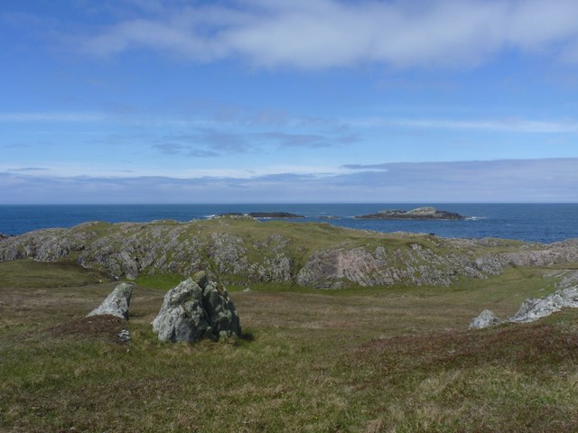
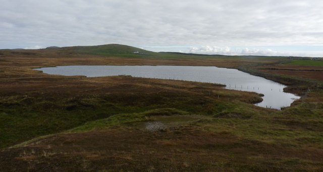
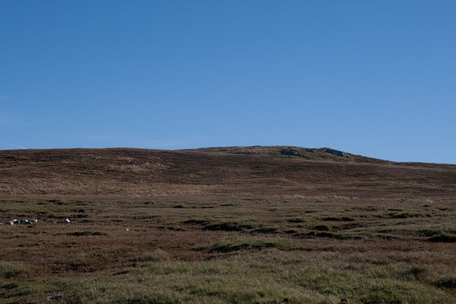
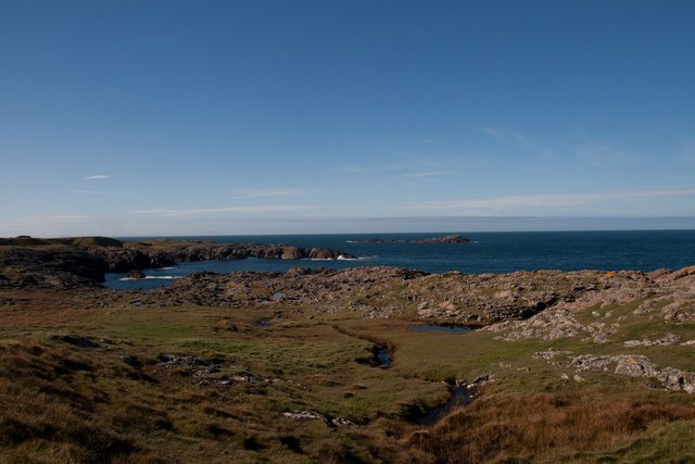
Known for its stunning natural beauty, Usprig is characterized by its rugged coastline, sandy beaches, and rolling hills. The island is rich in biodiversity, with a variety of plant and animal species inhabiting its diverse habitats, including heathland, woodland, and rocky shores.

The main settlement on Usprig is a charming village, consisting of traditional stone cottages and a few local amenities such as a small shop, a pub, and a post office. The island's economy primarily relies on tourism, fishing, and agriculture.

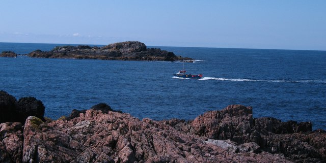
Visitors to Usprig are drawn to its tranquility and unspoiled landscapes. Outdoor enthusiasts can enjoy activities such as hiking, birdwatching, and fishing. The island's coastal waters are popular among divers due to the presence of underwater caves and vibrant marine life.

Usprig is accessible by ferry from the nearby mainland town of Oban, providing connections to the mainland's transportation network. The island offers a peaceful retreat for those seeking a break from the hustle and bustle of city life, with its idyllic scenery and welcoming community.

If you have any feedback on the listing, please let us know in the comments section below.

Usprig Images

Images are sourced within 2km of 55.69384/-6.534532 or Grid Reference NR1553. Thanks to Geograph Open Source API. All images are credited.

Rocks at An Dubh-laoig
Rubbish tip
Rubbish tip
Caolas na Cor-sgeire
Coast at Claddach
Coast at Claddach
Coastal views from holiday cottage
Claddach Beach, Islay Known locally as Currie Sands. MacKenzie island in the distance (apparently it was recently for sale, and may still be!)
Claddach Beach, Islay
Known locally as Currie Sands. MacKenzie island in the distance (apparently it was recently for sale, and may still be!)
Unnamed lochan near Claddach Lochan close to the shore near Claddach.
Unnamed lochan near Claddach
Lochan close to the shore near Claddach.
Geo on the Rinns coast Deep ravine or geo on the coast near Eilean Cam. Progress along this coast is helped by a stile over the fence to the left.
Geo on the Rinns coast
Deep ravine or geo on the coast near Eilean Cam. Progress along this coast is helped by a stile over the fence to the left.
Rinns coastline A coastline of low, but contorted cliffs backed by sheep nibbled grass.
Rinns coastline
A coastline of low, but contorted cliffs backed by sheep nibbled grass.
Clifftop rock, Rinns coast Stonecrop and lichen covered rock on the clifftop.
Clifftop rock, Rinns coast
Stonecrop and lichen covered rock on the clifftop.
Deep chasm on the Rinns coast Deep, narrow inlet leading to a cave on the Rinns coast. Fulmars nest at the head of the inlet.
Deep chasm on the Rinns coast
Deep, narrow inlet leading to a cave on the Rinns coast. Fulmars nest at the head of the inlet.
Fishing boat in the channel Small inshore lobster boat in the channel between Frenchman's Rocks and Rubha na Faing, the most westerly point on Islay.
Fishing boat in the channel
Small inshore lobster boat in the channel between Frenchman's Rocks and Rubha na Faing, the most westerly point on Islay.
Eilean Mhic Coinnich An isle just off Portnahaven.
Eilean Mhic Coinnich
An isle just off Portnahaven.
Briny pool and Pink Granite The hard, pinkish granite rocks makes an attractive feature of this rocky coastline on the Rinns peninsula.
Briny pool and Pink Granite
The hard, pinkish granite rocks makes an attractive feature of this rocky coastline on the Rinns peninsula.
Looking towards Frenchman's Rocks, Islay I would like to know why these islets are known as Frenchman's Rocks. This area is a popular place for sea watching in the autumn with many seabirds being on passage at that time.
Looking towards Frenchman's Rocks, Islay
I would like to know why these islets are known as Frenchman's Rocks. This area is a popular place for sea watching in the autumn with many seabirds being on passage at that time.
Claddach Loch, Islay Viewed from the west. Beinn Cladville in the distance.
Claddach Loch, Islay
Viewed from the west. Beinn Cladville in the distance.
Cnoc Buidhe Cleit, Islay A small prominence on the west coast of the island.
Cnoc Buidhe Cleit, Islay
A small prominence on the west coast of the island.
Coastal scene on west Islay, near Claddach The rock is predominantly gneiss. Frenchman's Rocks in the distance, a good area for seawatching in early autumn during bird migration.
Coastal scene on west Islay, near Claddach
The rock is predominantly gneiss. Frenchman's Rocks in the distance, a good area for seawatching in early autumn during bird migration.
Show me another place!

Usprig is located at Grid Ref: NR1553 (Lat: 55.69384, Lng: -6.534532)

Unitary Authority: Argyll and Bute

Police Authority: Argyll and West Dunbartonshire

What 3 Words

///deranged.browser.scribble. Near Portnahaven, Argyll & Bute

Related Wikis

Islay LIMPET

Islay LIMPET was the world's first commercial wave power device and was connected to the United Kingdom's National Grid. == History == Islay LIMPET (Land...

Eilean Mhic Coinnich

Eilean Mhic Coinnich, also known as Mackenzie Island (although recorded on the Land Register as McKenseys Island), is an uninhabited island of 17.3 hectares...

Portnahaven

Portnahaven (Scottish Gaelic: Port na h-Abhainne, meaning river port) is a village on Islay in the Inner Hebrides, Scotland. The village is within the...

Orsay, Inner Hebrides

Orsay (Scottish Gaelic: Orasaigh) is a small island in the Inner Hebrides of Scotland. It lies a short distance off the west coast of the island of Islay...

Nearby Amenities

Located within 500m of 55.69384,-6.534532
Note: Geodetic reference point for UK baseline
Ref: 24
Source: The Territorial Sea (Amendment) Order 1998 (No. 2564)
Lat/Long: 55.6932777/-6.5348601
The data included in this document is from www.openstreetmap.org. The data is made available under ODbL.

Have you been to Usprig?

Leave your review of Usprig below (or comments, questions and feedback).