Duisgeir
Island in Inverness-shire
Scotland
Duisgeir
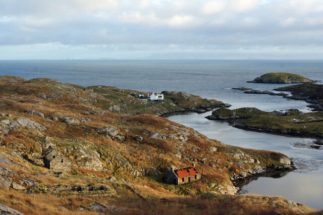
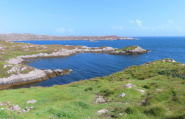
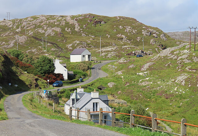
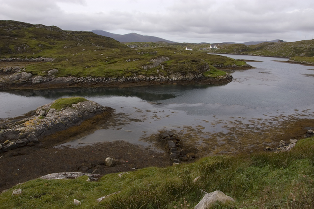
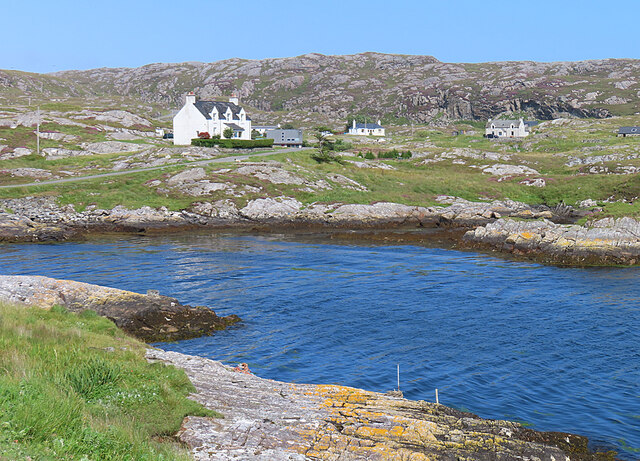
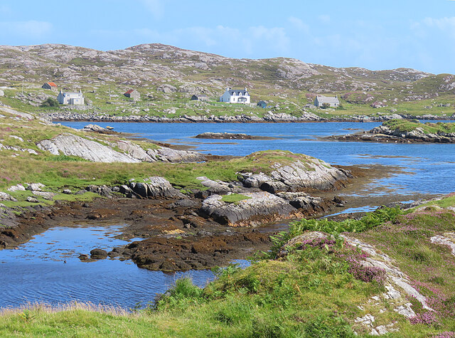
Duisgeir is a small island located off the coast of Inverness-shire in the Scottish Highlands. It is situated in the Inner Hebrides, specifically in the Sound of Mull. The island is known for its stunning natural beauty and rich cultural history.
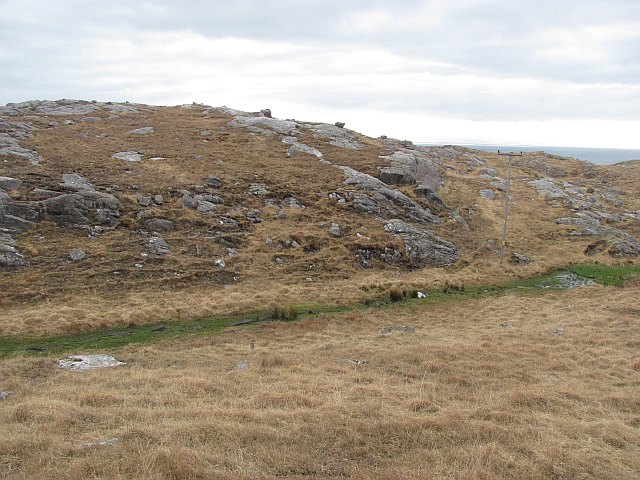
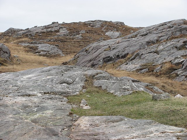
Covering an area of approximately 2 square kilometers, Duisgeir is sparsely populated, with only a few residents. The island is characterized by rugged coastlines, rocky cliffs, and rolling hills, which provide a picturesque backdrop for visitors. The vegetation consists mainly of heather, grasses, and scattered trees.
Duisgeir is a popular destination for outdoor enthusiasts and nature lovers. The island offers various activities such as hiking, birdwatching, and wildlife spotting. Seals, otters, and a wide range of bird species can often be spotted along the coastline.
The island also holds historical significance, with remnants of ancient settlements and burial sites dating back to prehistoric times. Visitors can explore the ruins of old stone structures and gain insight into the lives of the early inhabitants.
Access to Duisgeir is primarily by boat, with regular ferry services available from nearby ports. The island does not have any permanent accommodation or facilities, so visitors are advised to bring their own supplies and be mindful of the fragile ecosystem.
In summary, Duisgeir is a beautiful and secluded island in Inverness-shire, offering visitors a chance to immerse themselves in nature and explore its fascinating history.
If you have any feedback on the listing, please let us know in the comments section below.
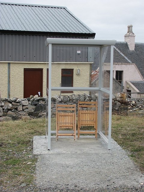
Duisgeir Images
Images are sourced within 2km of 57.802542/-6.8349449 or Grid Reference NG1289. Thanks to Geograph Open Source API. All images are credited.


Duisgeir is located at Grid Ref: NG1289 (Lat: 57.802542, Lng: -6.8349449)
Unitary Authority: Na h-Eileanan an Iar
Police Authority: Highlands and Islands
What 3 Words
///evenly.point.harmonica. Near Tarbert, Na h-Eileanan Siar
Related Wikis

Stockinish Island
Stockinish Island (Scottish Gaelic: Eilean Stocainis) is an uninhabited island off Harris, in the Outer Hebrides. == Geography and geology == Stockinish...

Borsham
Borsham (Scottish Gaelic: Boirseam) is a village in the 'Bays' area of Harris in the Outer Hebrides, Scotland. Borsham is within the parish of Harris....

Lingarabay
Lingarabay (also Lingerabay or Lingerbay; Scottish Gaelic: Lingreabhagh) is a small coastal settlement on Harris, in the Outer Hebrides of Scotland. It...
Harris Superquarry
The Harris Super Quarry was a super quarry at Lingerbay, Harris, Scotland proposed by Redland Aggregates in 1991. The plan was to surface mine aggregate...
Nearby Amenities
Located within 500m of 57.802542,-6.8349449Have you been to Duisgeir?
Leave your review of Duisgeir below (or comments, questions and feedback).