Beddington Corner
Settlement in Surrey
England
Beddington Corner

Beddington Corner is a small district located in the London Borough of Sutton, in the county of Surrey, England. It is situated in the southern part of the borough, approximately 12 miles south of central London. The area is bordered by the A232 road to the north and the A23 road to the east, providing easy access to the nearby towns of Croydon and Sutton.
Despite its proximity to urban areas, Beddington Corner maintains a semi-rural atmosphere, with several green spaces and open fields surrounding the district. Beddington Park, a popular local attraction, offers picturesque views, a lake, and a historic manor house. The park provides opportunities for leisure activities such as walking, jogging, and picnicking.
The area is primarily residential, featuring a mix of housing options including detached houses, semi-detached houses, and apartment buildings. The properties in Beddington Corner range in style and size, accommodating a variety of budgets and lifestyles.
Transportation in the area is well-served, with several bus routes connecting Beddington Corner to nearby towns and train stations. The nearest railway station is Hackbridge, providing direct links to central London and other major destinations.
Residents of Beddington Corner benefit from a range of local amenities, including shops, restaurants, and schools. The area also boasts a strong sense of community, with various local events and initiatives taking place throughout the year.
Overall, Beddington Corner offers a peaceful and family-friendly environment, with its combination of natural beauty, convenient location, and community spirit making it an attractive place to live.
If you have any feedback on the listing, please let us know in the comments section below.
Beddington Corner Images
Images are sourced within 2km of 51.385213/-0.15546 or Grid Reference TQ2866. Thanks to Geograph Open Source API. All images are credited.


Beddington Corner is located at Grid Ref: TQ2866 (Lat: 51.385213, Lng: -0.15546)
Unitary Authority: Sutton
Police Authority: Metropolitan
What 3 Words
///vibrate.paper.chart. Near Carshalton, London
Nearby Locations
Related Wikis

BedZED
Beddington Zero Energy Development (BedZED) is an environmentally friendly housing development in Hackbridge, London, England. It is in the London Borough...

Spencer Road Wetlands
Spencer Road Wetlands is a one hectare Local Nature Reserve in Mitcham in the London Borough of Sutton. It is owned by Sutton Council and managed by the...
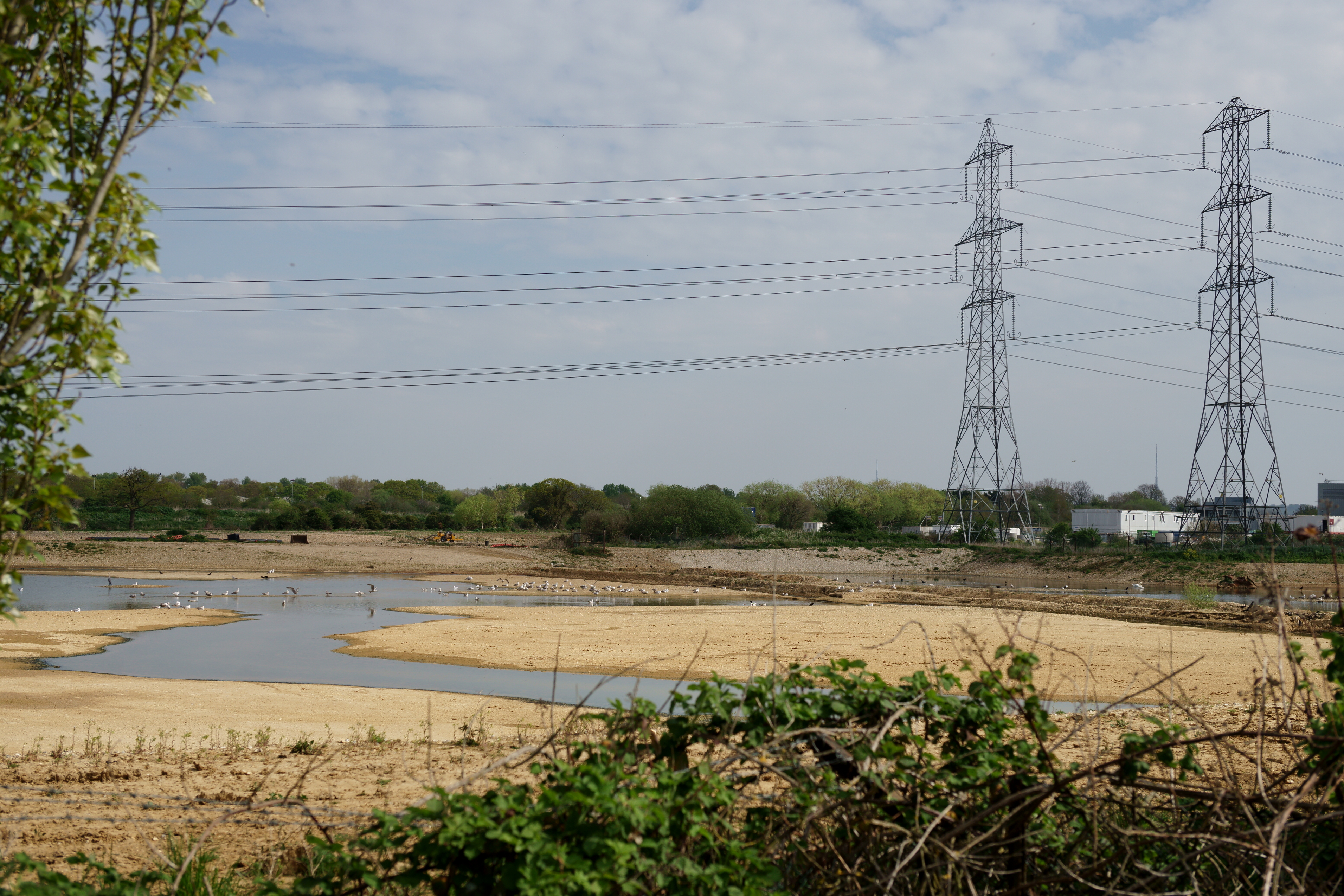
Beddington Farmlands
Beddington Farmlands is an area adjacent to Beddington in Greater London, England, known for many years as a birdwatching site. It is being developed as...

Wandle Valley Wetland
Wandle Valley Wetland is a 0.6 hectare Local Nature Reserve in Carshalton in the London Borough of Sutton. It is owned by the Council and managed by the...
Nearby Amenities
Located within 500m of 51.385213,-0.15546Have you been to Beddington Corner?
Leave your review of Beddington Corner below (or comments, questions and feedback).