Sgeir Bharrach

Island in Argyllshire

Scotland

Sgeir Bharrach

Track, Vaul
Track, Vaul Credit: Richard Webb

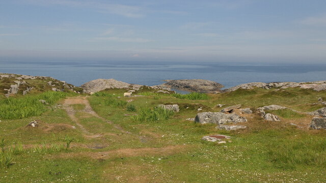
Sgeir Bharrach is a small uninhabited island located off the west coast of Scotland in Argyllshire. This island is part of the Inner Hebrides archipelago and is situated in the Sound of Mull, between the Isle of Mull and the mainland.

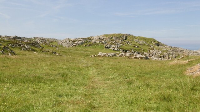
Measuring approximately 0.15 square kilometers in size, Sgeir Bharrach is characterized by its rugged and rocky terrain. The island is predominantly composed of granite, with steep cliffs rising from the surrounding sea. The highest point on the island reaches about 40 meters above sea level.

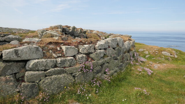
Due to its remote and inaccessible nature, Sgeir Bharrach is not inhabited by humans and lacks any permanent infrastructure or facilities. However, the island is home to a variety of wildlife, including seabirds such as gulls, puffins, and cormorants. The surrounding waters are also rich in marine life, with seals and dolphins sometimes spotted in the area.

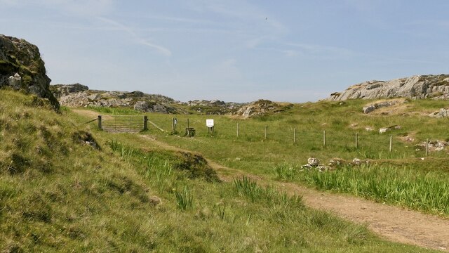
Sgeir Bharrach is a popular destination for birdwatchers and nature enthusiasts, who visit the island to observe the diverse avian species that inhabit the area. The island is accessible by boat, and visitors are advised to take necessary precautions and respect the fragile ecosystem while exploring the island.

Overall, Sgeir Bharrach offers a unique and wild experience for those seeking solitude and a chance to immerse themselves in the beauty of Scotland's rugged coastal landscapes.

If you have any feedback on the listing, please let us know in the comments section below.

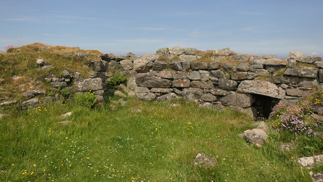
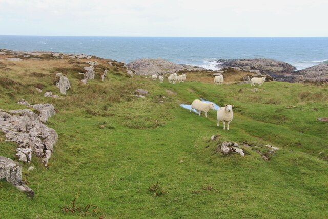
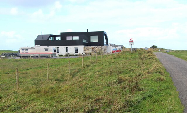
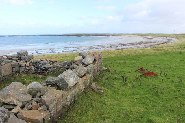
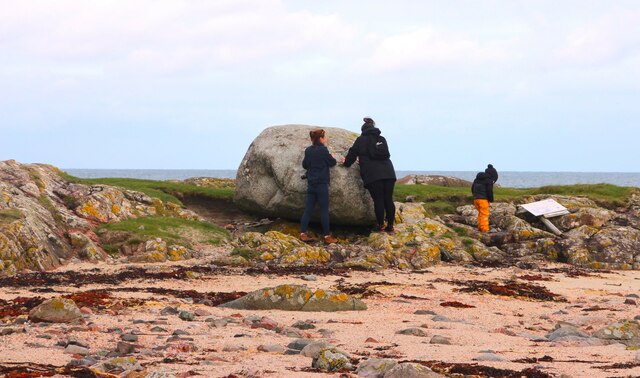
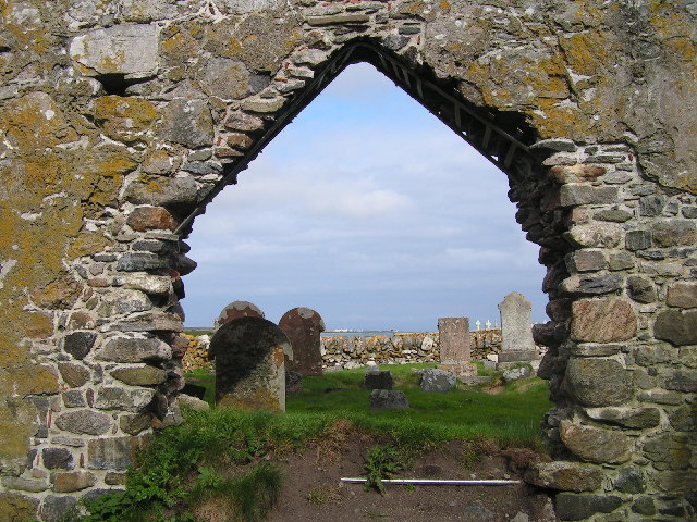
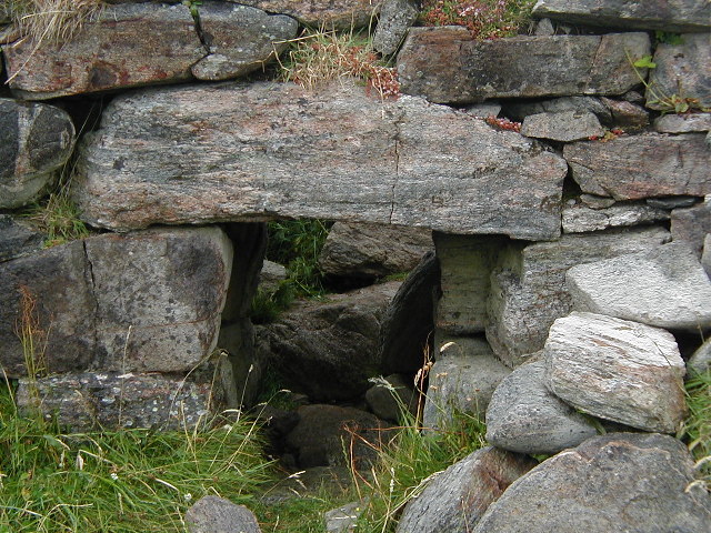
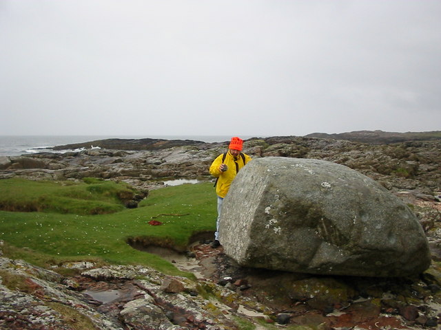
Sgeir Bharrach Images

Images are sourced within 2km of 56.543856/-6.8103984 or Grid Reference NM0449. Thanks to Geograph Open Source API. All images are credited.

Track, Vaul
Track, Vaul
Track beneath Dùn Mòr A pleasant short walk to a fine broch.
Track beneath Dùn Mòr
A pleasant short walk to a fine broch.
Dùn Mòr A broch on the north coast of Tiree.
Dùn Mòr
A broch on the north coast of Tiree.
Dùn Mòr Surviving wall of a broch.  Dùn Mòr has been excavated in the recent past and very recognisable broch features can be seen.
Dùn Mòr
Surviving wall of a broch. Dùn Mòr has been excavated in the recent past and very recognisable broch features can be seen.
Dùn Mòr Very recognisable as a broch with some internal staircase surviving. The ruin is also covered in flowers.
Dùn Mòr
Very recognisable as a broch with some internal staircase surviving. The ruin is also covered in flowers.
A grassy track by An Cnap
A modern house at Vaul
Vaul Bay, Tiree
Vaul Bay, Tiree
Inspecting the Ringing Stone
Chapel ruins, Tiree Ruins of chapel, Kirkapol, Tiree
Chapel ruins, Tiree
Ruins of chapel, Kirkapol, Tiree
Broch, near Vaul, Tiree Entrance to the Broch, Dun Mor, near Vaul, Tiree
Broch, near Vaul, Tiree
Entrance to the Broch, Dun Mor, near Vaul, Tiree
Vaul Bay
Vaul Bay
Old Plough at Vaul Bay
Tigh Beag Cottage
Tigh Beag Cottage
The Ringing Stone A large cup marked rock that rings when hit.
The Ringing Stone
A large cup marked rock that rings when hit.
Vaul Bay from the West
Rainbow over Salum Bay More machair in the foreground.
Rainbow over Salum Bay
More machair in the foreground.
Ceann Mòr and Sgeir na Fàinne From the tip of the peninsula dividing Vaul Bay from Salum bay you just get into the square with a number of low lying rocky islands or skerries.
Ceann Mòr and Sgeir na Fàinne
From the tip of the peninsula dividing Vaul Bay from Salum bay you just get into the square with a number of low lying rocky islands or skerries.
Show me another place!

Sgeir Bharrach is located at Grid Ref: NM0449 (Lat: 56.543856, Lng: -6.8103984)

Unitary Authority: Argyll and Bute

Police Authority: Argyll and West Dunbartonshire

What 3 Words

///briefing.savers.acids. Near Scarinish, Argyll & Bute

Related Wikis

Dun Mor Vaul

Dun Mor Vaul (or simply Dun Mor; Scottish Gaelic: Dùn Mòr) is an iron-age broch located on the north coast of the island of Tiree, in Scotland. ��2�...

Tiree

Tiree (; Scottish Gaelic: Tiriodh, pronounced [ˈtʲʰiɾʲəɣ]) is the most westerly island in the Inner Hebrides of Scotland. The low-lying island, southwest...

Scarinish

Scarinish (Scottish Gaelic: Sgairinis [ˈs̪kaɾʲɪnɪʃ]) is the main village on the island of Tiree, in the Inner Hebrides of Scotland. It is located on the...

Tiree Airport

Tiree Airport (Scottish Gaelic: Port-adhair Thiriodh) (IATA: TRE, ICAO: EGPU) is located 2.5 nautical miles (4.6 km; 2.9 mi) north northeast of Balemartine...

Nearby Amenities

Located within 500m of 56.543856,-6.8103984
Created By: dmgroom_coastlines
Source: PGS
Lat/Long: 56.54286/-6.81833
Created By: dmgroom_coastlines
Source: PGS
Lat/Long: 56.54311/-6.81786
Created By: dmgroom_coastlines
Source: PGS
Lat/Long: 56.54334/-6.81646
Created By: dmgroom_coastlines
Source: PGS
Lat/Long: 56.54333/-6.81599
Created By: dmgroom_coastlines
Source: PGS
Lat/Long: 56.54307/-6.81555
Created By: dmgroom_coastlines
Source: PGS
Lat/Long: 56.54281/-6.8151
Created By: dmgroom_coastlines
Source: PGS
Lat/Long: 56.54276/-6.81278
Created By: dmgroom_coastlines
Source: PGS
Lat/Long: 56.54288/-6.81231
Created By: dmgroom_coastlines
Source: PGS
Lat/Long: 56.54236/-6.81234
Created By: dmgroom_coastlines
Source: PGS
Lat/Long: 56.54235/-6.81141
Created By: dmgroom_coastlines
Source: PGS
Lat/Long: 56.5426/-6.81117
Created By: dmgroom_coastlines
Source: PGS
Lat/Long: 56.54311/-6.81092
Created By: dmgroom_coastlines
Source: PGS
Lat/Long: 56.54323/-6.81044
Created By: dmgroom_coastlines
Source: PGS
Lat/Long: 56.54347/-6.8095
Created By: dmgroom_coastlines
Source: PGS
Lat/Long: 56.54346/-6.80903
Created By: dmgroom_coastlines
Source: PGS
Lat/Long: 56.54344/-6.80764
Created By: dmgroom_coastlines
Source: PGS
Lat/Long: 56.54356/-6.80717
Created By: dmgroom_coastlines
Source: PGS
Lat/Long: 56.54305/-6.80743
Created By: dmgroom_coastlines
Source: PGS
Lat/Long: 56.54254/-6.80769
Created By: dmgroom_coastlines
Source: PGS
Lat/Long: 56.54265/-6.80722
Created By: dmgroom_coastlines
Source: PGS
Lat/Long: 56.54277/-6.80629
Created By: dmgroom_coastlines
Source: PGS
Lat/Long: 56.54226/-6.80609
Created By: dmgroom_coastlines
Source: PGS
Lat/Long: 56.54199/-6.80564
Created By: dmgroom_coastlines
Source: PGS
Lat/Long: 56.54148/-6.80521
Created By: dmgroom_coastlines
Source: PGS
Lat/Long: 56.54096/-6.805
Created By: dmgroom_coastlines
Source: PGS
Lat/Long: 56.54082/-6.80455
Dun Mor Vaul
Historic: archaeological_site
Wikidata: Q1271556
Wikipedia: en:Dun Mor Vaul
Lat/Long: 56.5419924/-6.8134333
Power: pole
Lat/Long: 56.5400465/-6.8100809
Power: pole
Lat/Long: 56.5400616/-6.8092573
Power: pole
Lat/Long: 56.5400768/-6.8083599
Power: pole
Lat/Long: 56.5399755/-6.8077855
The data included in this document is from www.openstreetmap.org. The data is made available under ODbL.

Have you been to Sgeir Bharrach?

Leave your review of Sgeir Bharrach below (or comments, questions and feedback).