An Uailleineach
Coastal Feature, Headland, Point in Argyllshire
Scotland
An Uailleineach
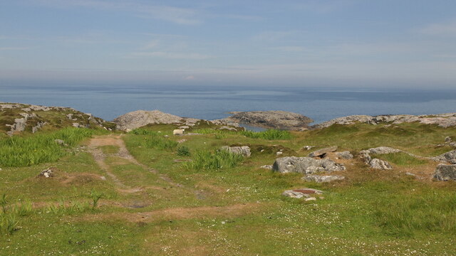
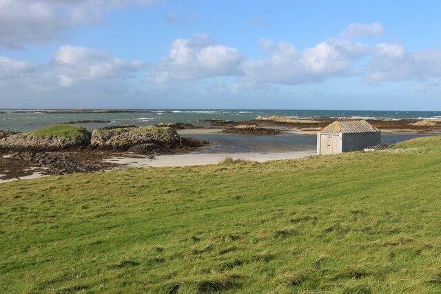
An Uailleineach is a prominent headland located in Argyllshire, Scotland. Situated on the west coast of the country, this coastal feature offers breathtaking views of the surrounding landscape and the Atlantic Ocean.
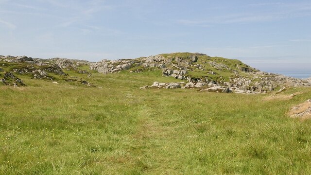
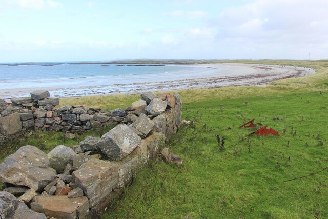
The headland is characterized by its rugged cliffs, which provide a dramatic backdrop against the crashing waves. The cliffs are made up of sedimentary rock formations, displaying layers of different colors and textures, adding to the visual appeal of the area.
At the highest point of An Uailleineach, there is a lighthouse that has been guiding ships along the coast since its construction in the 19th century. The lighthouse stands tall and sturdy, painted in white and red, serving as a navigational aid to vessels in the area.
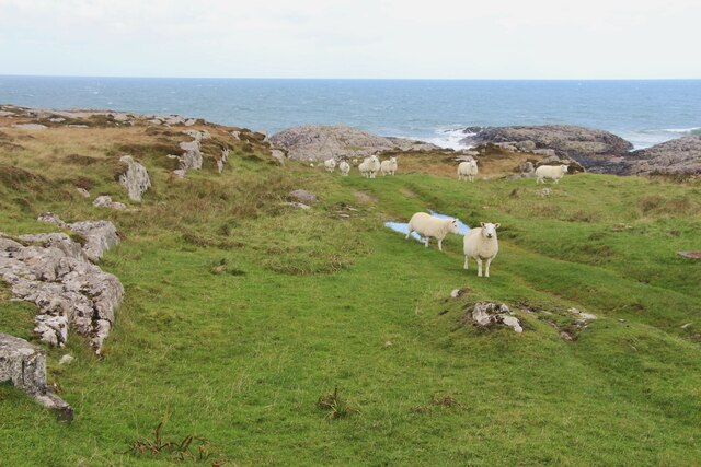
The headland is also home to a variety of flora and fauna, making it an ideal location for nature enthusiasts. Seabirds such as gulls and cormorants can be spotted nesting on the cliffs, while seals and dolphins can often be seen swimming in the waters below.
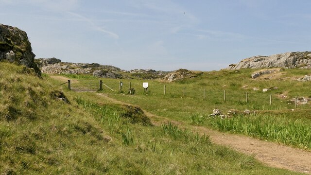
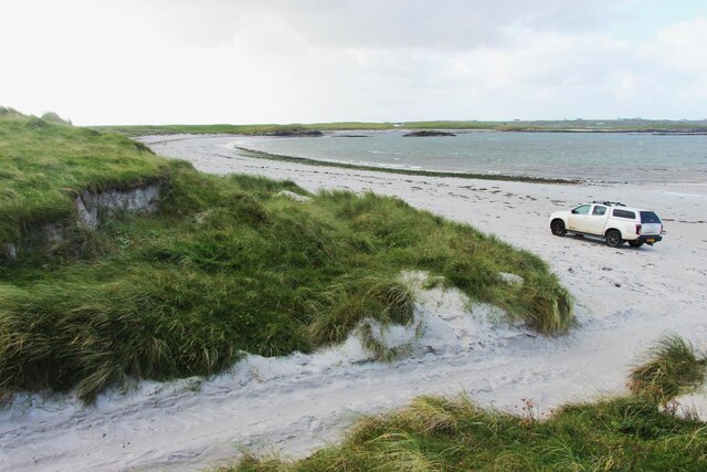
An Uailleineach is a popular destination for tourists and locals alike, offering opportunities for hiking, birdwatching, and photography. The coastal paths along the headland provide stunning panoramic views of the coast and the nearby islands. Visitors can also explore the nearby beaches and coves, which are perfect for picnics and beachcombing.
Overall, An Uailleineach is a captivating coastal feature in Argyllshire, offering a blend of natural beauty, historical significance, and recreational opportunities to all who visit.
If you have any feedback on the listing, please let us know in the comments section below.
An Uailleineach Images
Images are sourced within 2km of 56.543844/-6.8039643 or Grid Reference NM0449. Thanks to Geograph Open Source API. All images are credited.


An Uailleineach is located at Grid Ref: NM0449 (Lat: 56.543844, Lng: -6.8039643)
Unitary Authority: Argyll and Bute
Police Authority: Argyll and West Dunbartonshire
What 3 Words
///mixer.education.diplomats. Near Scarinish, Argyll & Bute
Related Wikis

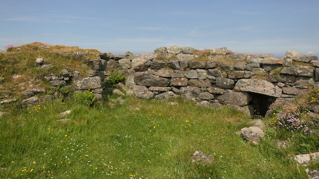
Dun Mor Vaul
Dun Mor Vaul (or simply Dun Mor; Scottish Gaelic: Dùn Mòr) is an iron-age broch located on the north coast of the island of Tiree, in Scotland. ��2�...

Tiree
Tiree (; Scottish Gaelic: Tiriodh, pronounced [ˈtʲʰiɾʲəɣ]) is the most westerly island in the Inner Hebrides of Scotland. The low-lying island, southwest...

Scarinish
Scarinish (Scottish Gaelic: Sgairinis [ˈs̪kaɾʲɪnɪʃ]) is the main village on the island of Tiree, in the Inner Hebrides of Scotland. It is located on the...

Gunna, Scotland
Gunna (Gaelic: Gunnaigh) is an island in the Inner Hebrides of Scotland. == Geography and geology == Gunna lies between Coll and Tiree, closer to Coll...
Nearby Amenities
Located within 500m of 56.543844,-6.8039643Have you been to An Uailleineach?
Leave your review of An Uailleineach below (or comments, questions and feedback).