Eilean Fireann

Island in Inverness-shire

Scotland

Eilean Fireann

Inside Am Bothan Bunkhouse, Leverburgh
Inside Am Bothan Bunkhouse, Leverburgh Credit: Phil Thirkell

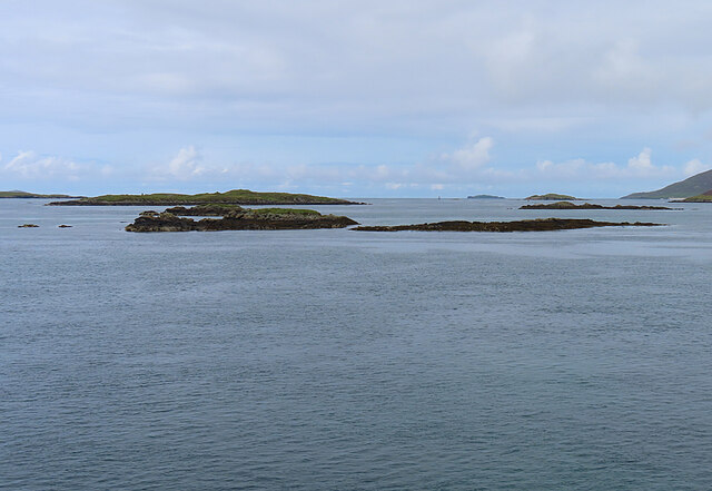
Eilean Fireann is a small island located in Inverness-shire, Scotland. It is situated in the western part of Loch Lochy, a long and narrow freshwater loch. The island measures approximately 1 kilometer in length and 500 meters in width, covering an area of around 40 hectares.

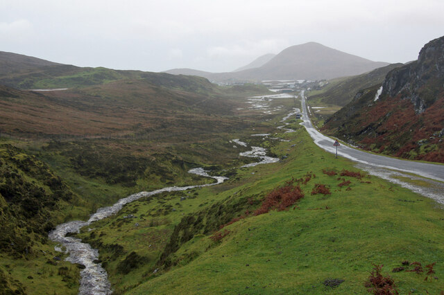
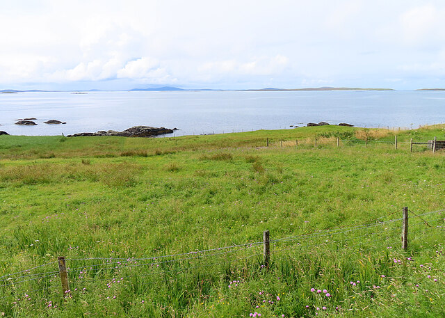
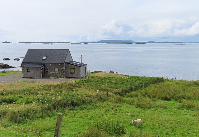
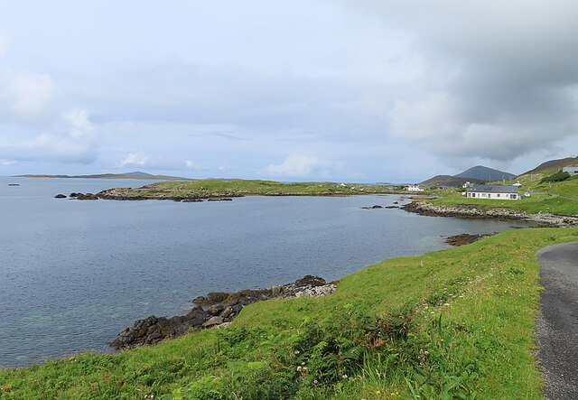
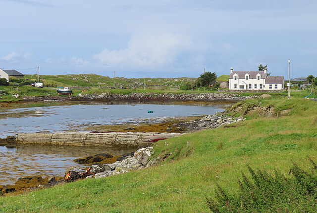
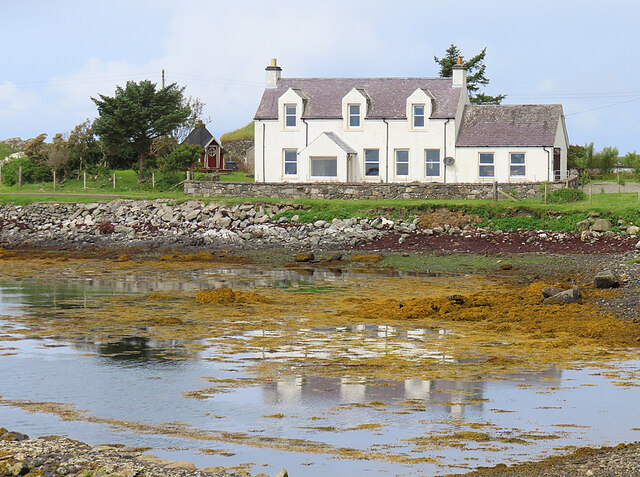
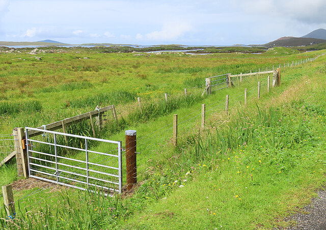
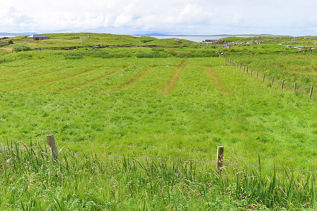
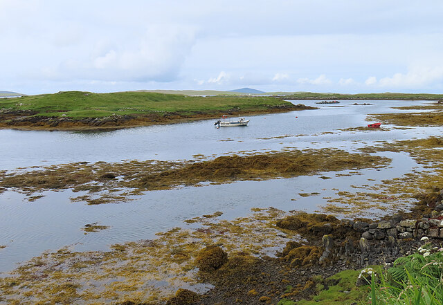
The island is known for its scenic beauty and lush vegetation. It is covered with a mix of grassy fields, heather moorland, and scattered trees, providing a picturesque landscape. Eilean Fireann offers stunning views of the surrounding mountains and the tranquil waters of Loch Lochy.

The island is uninhabited and has no permanent structures. It is a popular destination for outdoor enthusiasts, offering opportunities for hiking, birdwatching, and wildlife spotting. The island is home to a variety of bird species, including ospreys, golden eagles, and herons. It also serves as a habitat for red deer, otters, and other small mammals.

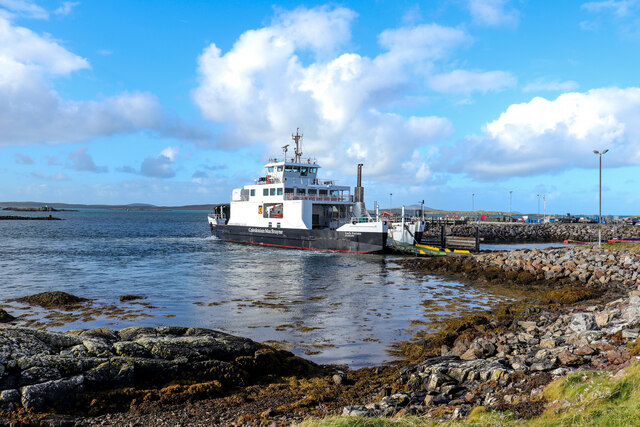
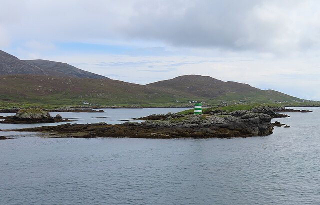
Access to Eilean Fireann is by boat, and there are no facilities available on the island. Visitors are advised to bring their own supplies and practice Leave No Trace principles to preserve the natural environment.

Eilean Fireann is a serene and peaceful location, ideal for those seeking a quiet retreat amidst nature. Its secluded setting and unspoiled beauty make it a hidden gem in Inverness-shire, attracting nature lovers and photographers alike.

If you have any feedback on the listing, please let us know in the comments section below.

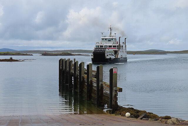
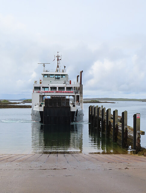
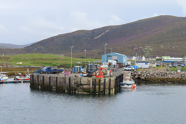
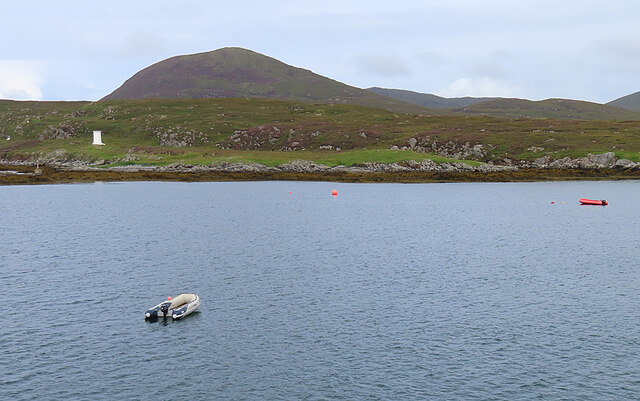
Eilean Fireann Images

Images are sourced within 2km of 57.759698/-7.0192727 or Grid Reference NG0185. Thanks to Geograph Open Source API. All images are credited.

Inside Am Bothan Bunkhouse, Leverburgh
Wet view towards Leverburgh Looking north west down Gleann Shranndabhal on a very wet November morning.
Wet view towards Leverburgh
Looking north west down Gleann Shranndabhal on a very wet November morning.
Leverburgh Ferry Terminal Entrance A sign at the entrance to the Leverburgh Ferry Terminal
Leverburgh Ferry Terminal Entrance
A sign at the entrance to the Leverburgh Ferry Terminal
Leverburgh Ferry Terminal Leverburgh Ferry Terminal, Isle of Harris while Caledonian MacBrayne's Motor Vessel 'Loch Portain' loading up for departure
Leverburgh Ferry Terminal
Leverburgh Ferry Terminal, Isle of Harris while Caledonian MacBrayne's Motor Vessel 'Loch Portain' loading up for departure
Srannda (Strond) Looking down over small rough fields to the sea, with a distant glimpse of Berneray and North Uist beyond.
Srannda (Strond)
Looking down over small rough fields to the sea, with a distant glimpse of Berneray and North Uist beyond.
Wooden House at Srannda Wooden houses are unusual in the Hebrides, but this one looks quite in harmony with its surroundings. In the distance is a glimpse of North Uist.
Wooden House at Srannda
Wooden houses are unusual in the Hebrides, but this one looks quite in harmony with its surroundings. In the distance is a glimpse of North Uist.
Cairminis (Carminish) Bagh Cairminis (Carminish Bay) is well sheltered by Eilean nan Bridianach, which is actually a peninsula rather than an island.
Cairminis (Carminish)
Bagh Cairminis (Carminish Bay) is well sheltered by Eilean nan Bridianach, which is actually a peninsula rather than an island.
Bàgh Chàirminis Carminish Bay is a sheltered tidal inlet, but too shallow to offer safe anchorage to more than a very small boat.
Bàgh Chàirminis
Carminish Bay is a sheltered tidal inlet, but too shallow to offer safe anchorage to more than a very small boat.
Reflections The house at the head of Bàgh Chàirminis (Carminish Bay) is reflected in the mirror-like water.
Reflections
The house at the head of Bàgh Chàirminis (Carminish Bay) is reflected in the mirror-like water.
Field Access It may be that the end of the access road here is sometimes used to pen livestock.
Field Access
It may be that the end of the access road here is sometimes used to pen livestock.
Old Lazybeds The parallel lines in this field are the remains of lazybeds. These are raised beds which are separated by ditches to assist in draining the land. They can be found all over the Hebrides, but few are still in regular cultivation.
Old Lazybeds
The parallel lines in this field are the remains of lazybeds. These are raised beds which are separated by ditches to assist in draining the land. They can be found all over the Hebrides, but few are still in regular cultivation.
Near Càirminis I think the nearest island is Eilean Chàirminis (Carminish Island).
Near Càirminis
I think the nearest island is Eilean Chàirminis (Carminish Island).
MV 'Lochportain' approaching Leverburgh MV 'Lochportain' operates the shuttle ferry between Leverburgh in Harris and Berneray.
MV 'Lochportain' approaching Leverburgh
MV 'Lochportain' operates the shuttle ferry between Leverburgh in Harris and Berneray.
Docking at Leverburgh MV 'Lochportain' has just completed the crossing of the Sound of Harris from Berneray.
Docking at Leverburgh
MV 'Lochportain' has just completed the crossing of the Sound of Harris from Berneray.
Leverburgh Pier This is the pier used by various commercial enterprises, a short distance from the ferry pier.
Leverburgh Pier
This is the pier used by various commercial enterprises, a short distance from the ferry pier.
Rubh' an Losaid The small headland north of Leverburgh Harbour.
Rubh' an Losaid
The small headland north of Leverburgh Harbour.
Sgeir Mhic Coma The closest skerries are Sgeir Mhic Coma, and Sgeir an Arbhair is a little further away, and to the right.
Sgeir Mhic Coma
The closest skerries are Sgeir Mhic Coma, and Sgeir an Arbhair is a little further away, and to the right.
Eilean a' Charnain The islet with the green-and-white striped beacon is just outside this grid square.
Eilean a' Charnain
The islet with the green-and-white striped beacon is just outside this grid square.
Show me another place!

Eilean Fireann is located at Grid Ref: NG0185 (Lat: 57.759698, Lng: -7.0192727)

Unitary Authority: Na h-Eileanan an Iar

Police Authority: Highlands and Islands

What 3 Words

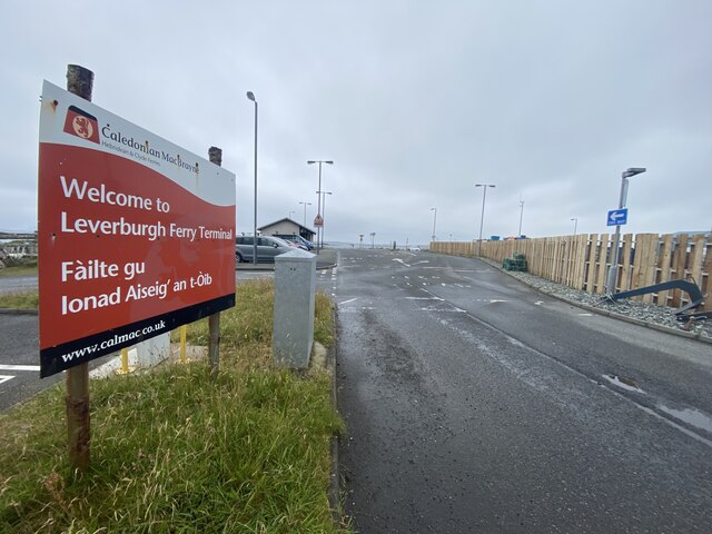
///brands.destined.sedative. Near Leverburgh, Na h-Eileanan Siar

Related Wikis

Outer Hebrides

The Outer Hebrides ( HEB-rid-eez) or Western Isles (Scottish Gaelic: na h-Eileanan Siar [nə ˈhelanən ˈʃiəɾ] , na h-Eileanan an Iar [nə ˈhelanən əɲ ˈiəɾ...

Leverburgh

Leverburgh (Scottish Gaelic: An t-Òb [ən̪ˠ ˈt̪ɔːp]) is the second largest village, after Tarbert, in Harris in the Outer Hebrides of Scotland. Leverburgh...

Roineabhal

Roineabhal is a hill in Harris, in the Western Isles of Scotland. The granite on the summit plateau of the mountain is anorthosite, and is similar in composition...

Ensay (Outer Hebrides)

Ensay (Gaelic Easaigh) is a currently unpopulated and privately owned island in the Outer Hebrides of Scotland. The island lies in the Sound of Harris...

Nearby Amenities

Located within 500m of 57.759698,-7.0192727
Passing Place
Lat/Long: 57.762303/-7.0155385
Barrier: cattle_grid
Source: survey
Lat/Long: 57.7614019/-7.0148326
Passing Place
Lat/Long: 57.7595764/-7.011855
Barrier: cattle_grid
Lat/Long: 57.7613129/-7.0145157
Entrance: yes
Lat/Long: 57.761412/-7.014608
Passing Place
Lat/Long: 57.760903/-7.0139789
Material: wood
Power: pole
Lat/Long: 57.7606843/-7.0127135
Material: wood
Power: pole
Lat/Long: 57.7614856/-7.0136871
Material: wood
Power: pole
Lat/Long: 57.7619635/-7.0142692
Material: wood
Power: pole
Lat/Long: 57.7623426/-7.0147359
Material: wood
Power: pole
Lat/Long: 57.7631238/-7.0156746
Material: wood
Power: pole
Lat/Long: 57.7632712/-7.0158544
Material: wood
Power: pole
Lat/Long: 57.7636718/-7.0163559
Material: wood
Power: pole
Lat/Long: 57.7599059/-7.0113214
The data included in this document is from www.openstreetmap.org. The data is made available under ODbL.

Have you been to Eilean Fireann?

Leave your review of Eilean Fireann below (or comments, questions and feedback).