Maillstrom

Island in Inverness-shire

Scotland

Maillstrom

Inlet on The Sound of Harris North of Bàgh Chàise, a small crofting settlement.
Inlet on The Sound of Harris Credit: Dave Fergusson

Mallaig is a small port town located in the Inverness-shire region of Scotland. Situated on the west coast of the Scottish Highlands, Mallaig is known for its stunning landscapes, including rugged cliffs, sandy beaches, and picturesque harbors.

The town serves as a gateway to the Isle of Skye and other nearby islands, making it a popular destination for tourists looking to explore the natural beauty of the Scottish Highlands. Mallaig is also a bustling fishing town, with a lively harbor where visitors can watch the local fishermen bring in their catch of the day.

In addition to its natural beauty and fishing industry, Mallaig is also known for its quaint shops, charming cafes, and traditional Scottish pubs. Visitors can enjoy fresh seafood from the local restaurants, explore the town's historic buildings, or take a leisurely stroll along the waterfront.

Overall, Mallaig offers a unique blend of natural beauty, history, and culture, making it a must-visit destination for anyone traveling to the Scottish Highlands.

If you have any feedback on the listing, please let us know in the comments section below.

Maillstrom Images

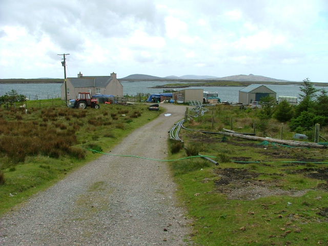
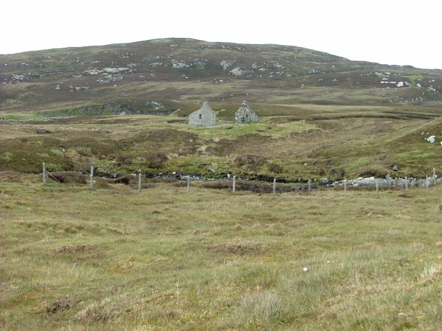
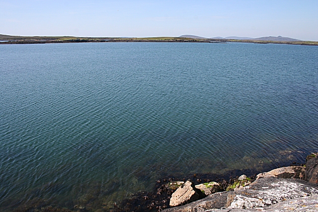
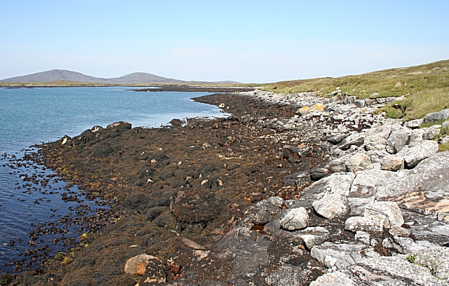
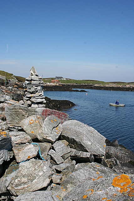
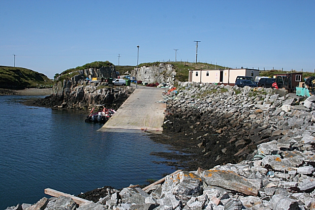
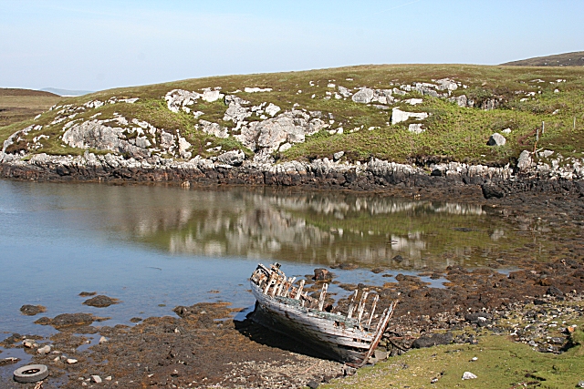
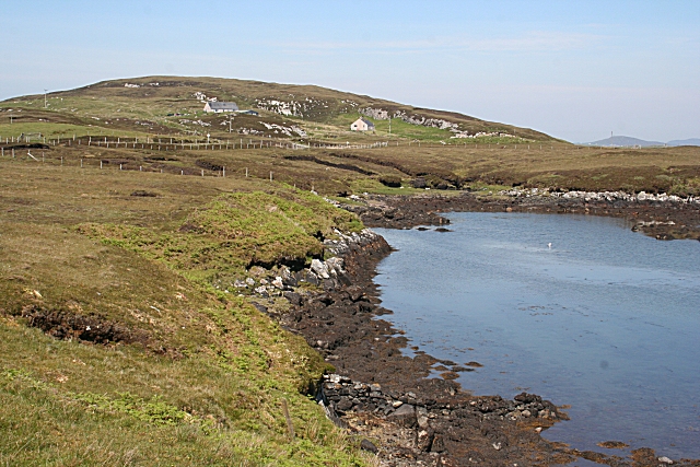
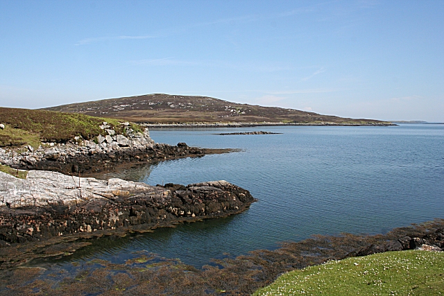
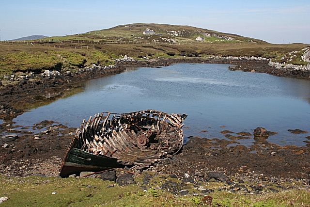
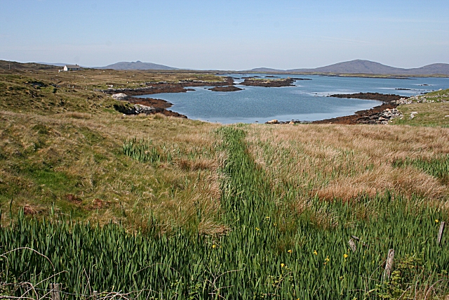
Images are sourced within 2km of 57.660493/-7.1243655 or Grid Reference NF9474. Thanks to Geograph Open Source API. All images are credited.

Inlet on The Sound of Harris North of Bàgh Chàise, a small crofting settlement.
Inlet on The Sound of Harris
North of Bàgh Chàise, a small crofting settlement.
Croft at the Road End Overlooking Loch Amhlasaraigh.
Croft at the Road End
Overlooking Loch Amhlasaraigh.
Ruined Crofthouse At Tobha Beag.
Ruined Crofthouse
At Tobha Beag.
Loch Amhlasaraigh Much of this square is water; the loch is landlocked at low tide but not at high tide. The nearest land is the island of Rusgaigh, with the island of Sròmaigh beyond.
Loch Amhlasaraigh
Much of this square is water; the loch is landlocked at low tide but not at high tide. The nearest land is the island of Rusgaigh, with the island of Sròmaigh beyond.
Rubha an Daimh 'Rubha' means 'headland' and 'damh' is 'deer', so the headland at the far end of this bay is the headland of the deer. The distant hills are Beinn Mhòr and Beinn Bhreac.
Rubha an Daimh
'Rubha' means 'headland' and 'damh' is 'deer', so the headland at the far end of this bay is the headland of the deer. The distant hills are Beinn Mhòr and Beinn Bhreac.
Cheese Bay Looking north from the harbour wall at Cheese Bay. This style of tall cairn seems popular in the Hebrides.
Cheese Bay
Looking north from the harbour wall at Cheese Bay. This style of tall cairn seems popular in the Hebrides.
Bàgh a'Chàise A fisherman rows ashore from his boat, moored close to the Cheese Bay harbour wall. On the right is the island of Taghaidh, in the next square.
Bàgh a'Chàise
A fisherman rows ashore from his boat, moored close to the Cheese Bay harbour wall. On the right is the island of Taghaidh, in the next square.
Cheese Bay Slipway This slipway is used by Marine Harvest for access of the fish farms they operate in Bàgh a'Chàise and further offshore.
Cheese Bay Slipway
This slipway is used by Marine Harvest for access of the fish farms they operate in Bàgh a'Chàise and further offshore.
Going Nowhere The hulk of a boat lies rotting in a tidal inlet near Tigh-na-Hoe.
Going Nowhere
The hulk of a boat lies rotting in a tidal inlet near Tigh-na-Hoe.
Tobha Beag Not to be confused with the similarly named, and much better known, place in South Uist, this is almost the end of the road.
Tobha Beag
Not to be confused with the similarly named, and much better known, place in South Uist, this is almost the end of the road.
Island of Taghaigh There is not much of land on the North Uist shore in this square, but this side of the offshore island of Taghaigh, in the background here, is in square.
Island of Taghaigh
There is not much of land on the North Uist shore in this square, but this side of the offshore island of Taghaigh, in the background here, is in square.
Going Nowhere This is the same boat as in <a href="https://www.geograph.org.uk/photo/1343501">NF9574 : Going Nowhere</a>, with the houses at Tobha Beag in the background beyond the tidal inlet.
Going Nowhere
This is the same boat as in NF9574 : Going Nowhere, with the houses at Tobha Beag in the background beyond the tidal inlet.
Loch Amhlasaraigh One of the inlets making up the head of Loch Amhlasaraigh (Aulasary), which is almost completely landlocked, and connected to the open sea only at high tide.
Loch Amhlasaraigh
One of the inlets making up the head of Loch Amhlasaraigh (Aulasary), which is almost completely landlocked, and connected to the open sea only at high tide.
Illegal House Taken from ferry. The house is one that I think was built without planning permission in this remote spot.
Illegal House
Taken from ferry. The house is one that I think was built without planning permission in this remote spot.
Rubha an Daimh Looking out across the headland and Loch Amhlasaraigh.
Rubha an Daimh
Looking out across the headland and Loch Amhlasaraigh.
Summit of Hoe Beg The 62m high point of the headland at Tobha Beag is marked by a weathered wooden stake.
Summit of Hoe Beg
The 62m high point of the headland at Tobha Beag is marked by a weathered wooden stake.
Bàgh a Chàise A small settlement near the end of the road to Tobha Beag.
Bàgh a Chàise
A small settlement near the end of the road to Tobha Beag.
Slipway at Bàgh a Chàise The base for Marine Harvest's Cheesebay Fish Farm.
Slipway at Bàgh a Chàise
The base for Marine Harvest's Cheesebay Fish Farm.
Show me another place!

Maillstrom is located at Grid Ref: NF9474 (Lat: 57.660493, Lng: -7.1243655)

Unitary Authority: Na h-Eileanan an Iar

Police Authority: Highlands and Islands

What 3 Words

///comply.wooden.interlude. Near Lochmaddy, Na h-Eileanan Siar

Related Wikis

Stromay

Stromay (Scottish Gaelic: Sròmaigh) is a tidal island off North Uist in the Sound of Harris, Scotland. The low island of Stromay lies between two wide...

Loch an Duin

Loch an Duin is a complex system of freshwater, brackish and sea lochs, tidal channels and islands, on and close to North Uist off the west coast of Scotland...

Sursaigh

Sursaigh (Scottish Gaelic: Sursaigh) is an island off North Uist in the Sound of Harris, Scotland. It lies 8 kilometres (5.0 mi) northeast of the village...

Tahay

Tahay (Scottish Gaelic: Taghaigh) is an island in the Outer Hebrides of Scotland. The name originates from the Old Norse tagg-øy meaning island with a...

Nearby Amenities

Located within 500m of 57.660493,-7.1243655
Rubha an Daimh
Natural: cape
Lat/Long: 57.6590488/-7.120986
The data included in this document is from www.openstreetmap.org. The data is made available under ODbL.

Have you been to Maillstrom?

Leave your review of Maillstrom below (or comments, questions and feedback).