Sgeir Oitir na Mursgain

Island in Inverness-shire

Scotland

Sgeir Oitir na Mursgain

Cràraigh Mhor
Cràraigh Mhor Credit: Toby Speight

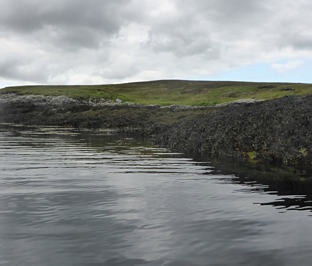
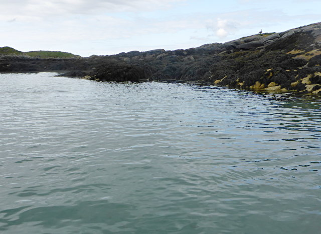
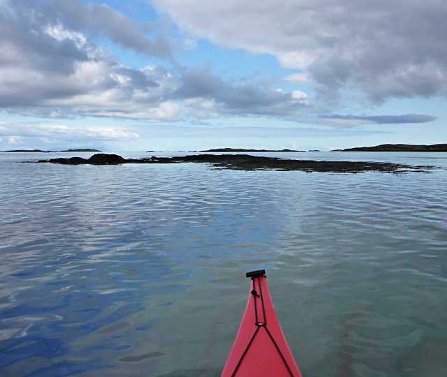
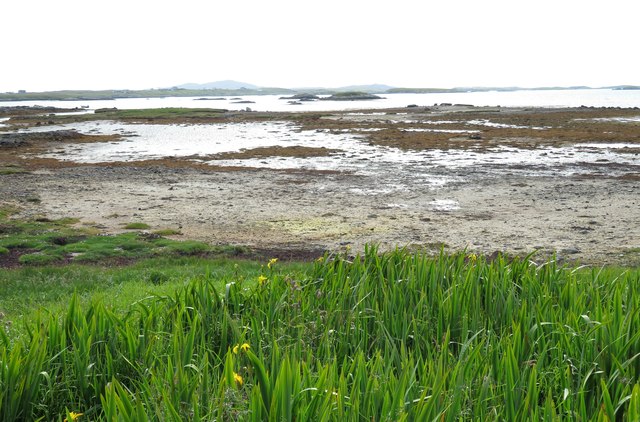
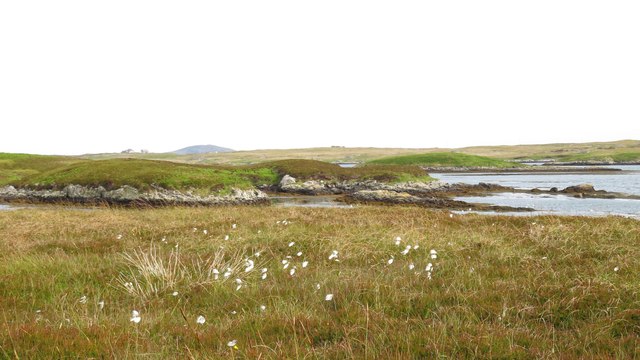
Sgeir Oitir na Mursgain is a small uninhabited island located in the Inverness-shire region of Scotland. Situated in the Inner Hebrides, it lies in the Sound of Mull, between the Isle of Mull and the mainland. The island is known for its rugged and rocky terrain, with steep cliffs and scattered vegetation.

Measuring approximately 0.15 square kilometers, Sgeir Oitir na Mursgain is relatively small in size. It is mostly composed of exposed rock formations, making it a popular destination for rock climbers and hikers seeking a challenging adventure. The island offers breathtaking views of the surrounding sea and nearby islands, making it a beautiful spot for nature enthusiasts and photographers.

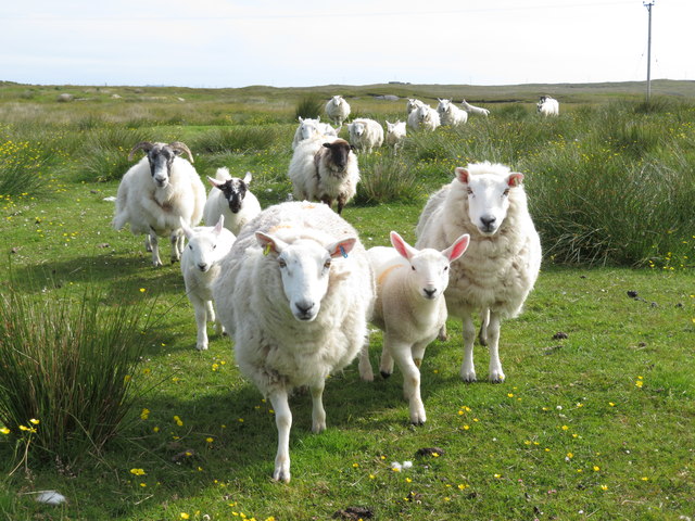
Due to its remote location and lack of facilities, Sgeir Oitir na Mursgain is not inhabited by humans, and there are no permanent structures on the island. However, it serves as a nesting site for various bird species, including fulmars, razorbills, and guillemots. Visitors may be able to spot these birds during the breeding season, but caution must be taken not to disturb their habitats.

Access to Sgeir Oitir na Mursgain is primarily by boat, with several tour operators offering trips to the island from nearby ports. It is essential to check weather conditions and tide times before planning a visit, as the area can experience strong currents and rough seas. Preservation of the island's natural beauty and wildlife is encouraged, with visitors advised to follow the Leave No Trace principles and take any litter back with them.

In summary, Sgeir Oitir na Mursgain is a remote and picturesque island in Inverness-shire, Scotland. Its rugged landscape, wildlife, and stunning views make it a popular destination for outdoor enthusiasts who enjoy exploring the untamed beauty of the Scottish coast.

If you have any feedback on the listing, please let us know in the comments section below.

Sgeir Oitir na Mursgain Images

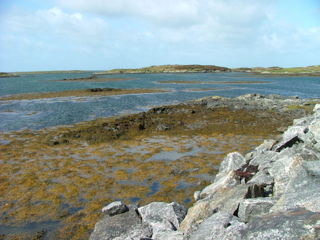
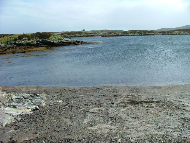
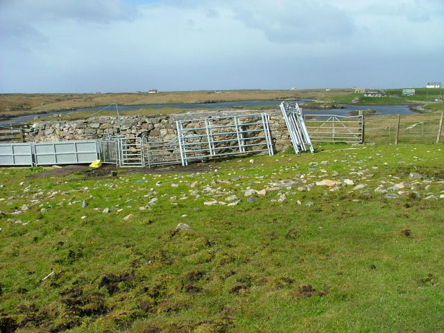
Images are sourced within 2km of 57.397943/-7.2819815 or Grid Reference NF8246. Thanks to Geograph Open Source API. All images are credited.
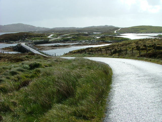
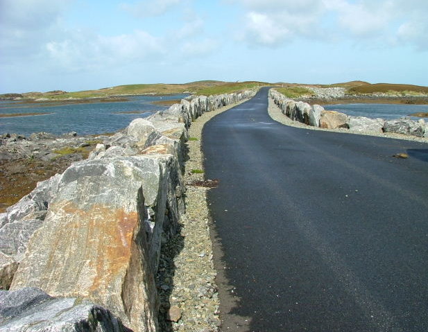
Cràraigh Mhor
Cràraigh Mhor
Eileanan Stafa
Eileanan Stafa
Bàgh nam Faoileann Very shallow tidal waters separate South Uist and Benbecula.
Bàgh nam Faoileann
Very shallow tidal waters separate South Uist and Benbecula.
New track on Benbecula Neither the OS maps nor Google Earth show this track  alongside Loch an Droma bho Dheas. It seems to have been constructed to gain access to a building which looked to be in the process of renovation.
New track on Benbecula
Neither the OS maps nor Google Earth show this track alongside Loch an Droma bho Dheas. It seems to have been constructed to gain access to a building which looked to be in the process of renovation.
Causeway by Loch Chill Eireabhaigh Compare with this similar view in 2008 [<a title="https://www.geograph.org.uk/photo/855856" href="https://www.geograph.org.uk/photo/855856">Link</a>].
Causeway by Loch Chill Eireabhaigh
Compare with this similar view in 2008 [Link].
Shoreline at Oitir Bheag Half tide, with extensive areas of sand, mud and weed.
Shoreline at Oitir Bheag
Half tide, with extensive areas of sand, mud and weed.
Cotton grass and tidal inlets Looking north from one of the tiny islets connected by causeways on the B891 towards Eilean Dubh Fo Thuath and the distant hill of Ruabhal.
Cotton grass and tidal inlets
Looking north from one of the tiny islets connected by causeways on the B891 towards Eilean Dubh Fo Thuath and the distant hill of Ruabhal.
The phone box is still standing Two contributors recorded this scene in 2007, but since then the roof of the old croft house has totally collapsed, but at least the telephone box is still standing, though probably rarely used except to shelter from horizontal rain.
The phone box is still standing
Two contributors recorded this scene in 2007, but since then the roof of the old croft house has totally collapsed, but at least the telephone box is still standing, though probably rarely used except to shelter from horizontal rain.
Old blackhouse at Aird Cumhang There are still many of these old turf roofed cottages on the Uists and Benbecula. Many are in a similar state to this one, but others, particularly those near roads and services have been restored as holiday cottages.
Old blackhouse at Aird Cumhang
There are still many of these old turf roofed cottages on the Uists and Benbecula. Many are in a similar state to this one, but others, particularly those near roads and services have been restored as holiday cottages.
Oban a' Bhiora Tight little tidal inlet separating Benbecula from the smaller of the two Grimsay islands.
Oban a' Bhiora
Tight little tidal inlet separating Benbecula from the smaller of the two Grimsay islands.
Friendly faces Rather than running away, the sheep here seem to think that the arrival of a human is good news, or more likely might be bringing food.
Friendly faces
Rather than running away, the sheep here seem to think that the arrival of a human is good news, or more likely might be bringing food.
Fish Cages On Oitir Bheag.
Fish Cages
On Oitir Bheag.
Dilapidated Crofthouse and Phone Box At Aird Cumhang.
Dilapidated Crofthouse and Phone Box
At Aird Cumhang.
Road and Causeway to Fodragaigh There are a number of causeways on this road to Fodragaigh and Port Pheadair.
Road and Causeway to Fodragaigh
There are a number of causeways on this road to Fodragaigh and Port Pheadair.
Causeway on Loch Chill Eireabhaigh One of a number of causeways on the road to Port Pheadair.
Causeway on Loch Chill Eireabhaigh
One of a number of causeways on the road to Port Pheadair.
Loch Chill Eireabhaigh From the causeway
Loch Chill Eireabhaigh
From the causeway
Loch Chill Eireabhaigh Looking northeast from the southeastern end of the causeway.
Loch Chill Eireabhaigh
Looking northeast from the southeastern end of the causeway.
Sheep Fanks At Cill Eireabhagh.
Sheep Fanks
At Cill Eireabhagh.
Show me another place!

Sgeir Oitir na Mursgain is located at Grid Ref: NF8246 (Lat: 57.397943, Lng: -7.2819815)

Unitary Authority: Na h-Eileanan an Iar

Police Authority: Highlands and Islands

What 3 Words

///heave.ranked.angry. Near Balivanich, Na h-Eileanan Siar

Related Wikis

Grimsay (South East Benbecula)

Grimsay, south east of Benbecula is a tidal island of the Outer Hebrides. It is connected to Benbecula by a causeway which carries the B891. In the 2001...

Eilean na Cille

Eilean na Cille, south east of Benbecula is an island of the Outer Hebrides connected to Grimsay (South) by a causeway which carries the B891. The road...

Eileanan Chearabhaigh

Eileanan Chearabhaigh is a collection of small uninhabited tidal islands off the south east coast of Benbecula in the Outer Hebrides of Scotland. The English...

Wiay, Outer Hebrides

Wiay (Scottish Gaelic: Bhuia or Fuidheigh) is an uninhabited island in the Outer Hebrides. It lies south-east of Benbecula and measures approximately...

Nearby Amenities

Located within 500m of 57.397943,-7.2819815
Eileanan Stafa
Place: locality
Lat/Long: 57.3963416/-7.2874129
The data included in this document is from www.openstreetmap.org. The data is made available under ODbL.

Have you been to Sgeir Oitir na Mursgain?

Leave your review of Sgeir Oitir na Mursgain below (or comments, questions and feedback).