Siusaigh
Island in Inverness-shire
Scotland
Siusaigh
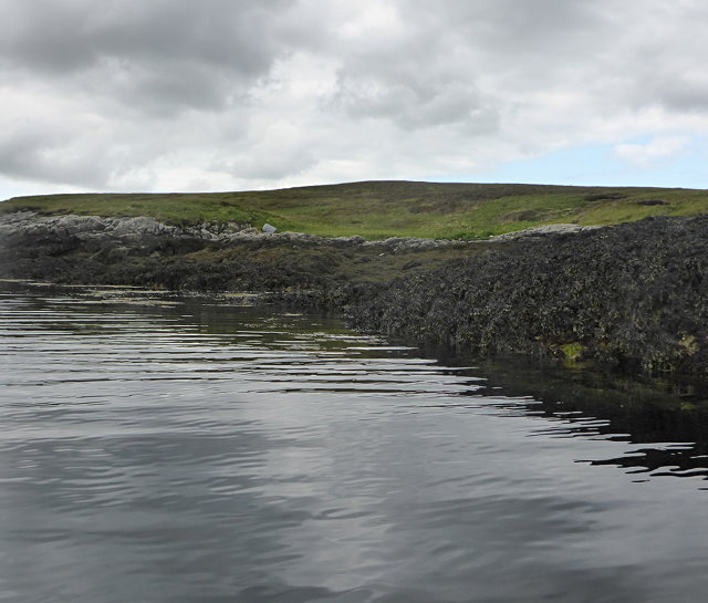
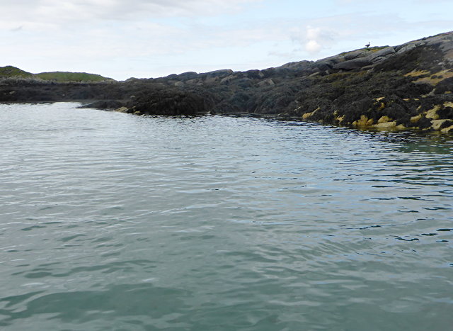
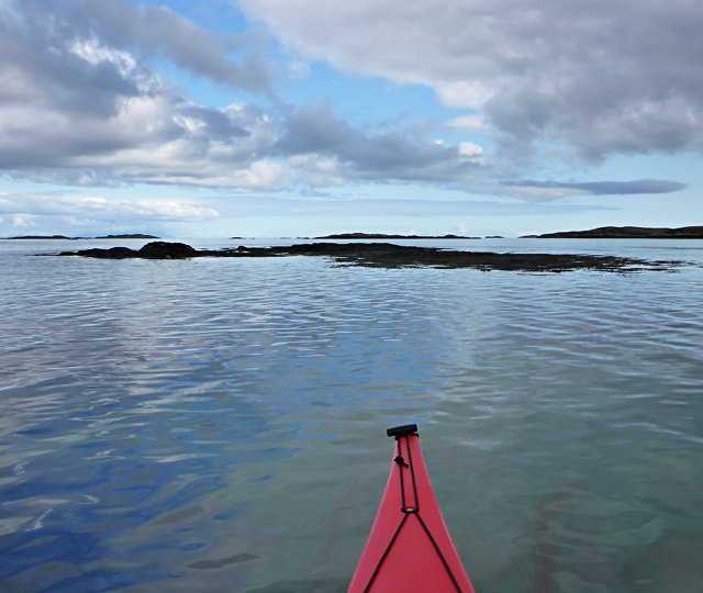
Siusaigh is a small, uninhabited island located in Inverness-shire, Scotland. Situated off the northwest coast, it is part of the Inner Hebrides archipelago. The island covers an area of about 50 acres and is surrounded by the vast waters of the North Atlantic Ocean.
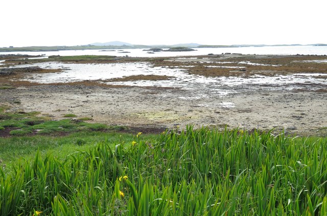
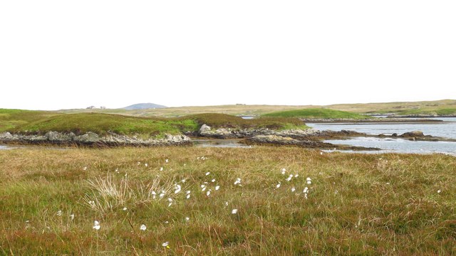
Siusaigh is characterized by its rugged and wild terrain, with dramatic cliffs and rocky outcrops dominating the landscape. The island is covered in a thick blanket of heather and grasses, creating a picturesque and untouched scenery. The coastline is indented with small coves and inlets, providing shelter for various seabirds and marine life.
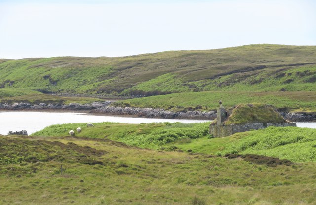
Despite its lack of permanent human settlement, Siusaigh holds historical significance. The ruins of an ancient stone fort, believed to have been constructed during the Iron Age, can still be found on the island. This suggests that it was once inhabited or used for defensive purposes.
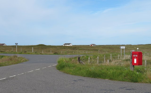
Access to Siusaigh is limited due to its remote location and lack of infrastructure. However, the island can be reached by boat from nearby mainland ports. It is a popular destination for nature enthusiasts, birdwatchers, and photographers, who come to admire the island's untouched beauty and observe its diverse wildlife.
Visitors to Siusaigh are advised to take precautions as the terrain can be challenging and potentially dangerous. It is essential to be well-prepared and have appropriate outdoor gear. Additionally, it is important to respect the island's fragile ecosystem and leave no trace behind to preserve its natural beauty for future generations.
If you have any feedback on the listing, please let us know in the comments section below.
Siusaigh Images
Images are sourced within 2km of 57.400326/-7.2865095 or Grid Reference NF8246. Thanks to Geograph Open Source API. All images are credited.
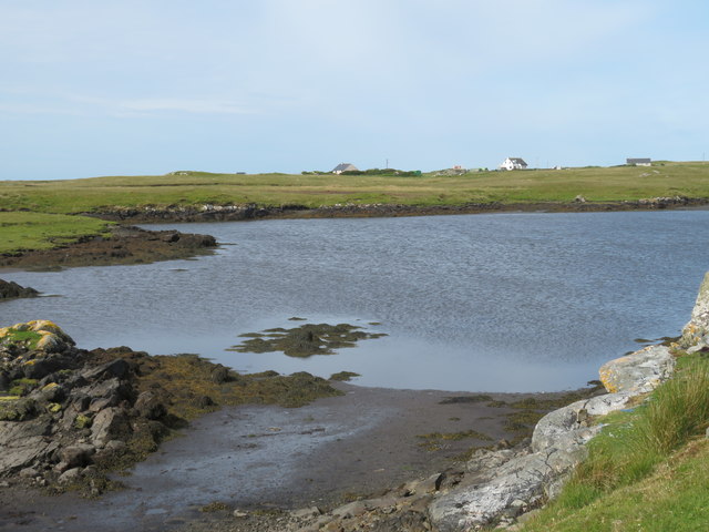
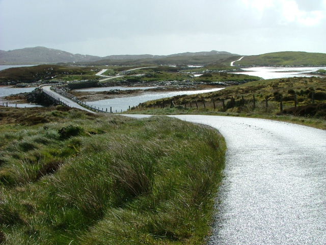
![Causeway by Loch Chill Eireabhaigh Compare with this similar view in 2008 [<a title="https://www.geograph.org.uk/photo/855856" href="https://www.geograph.org.uk/photo/855856">Link</a>].](https://s2.geograph.org.uk/geophotos/05/13/98/5139838_d0908f0c.jpg)
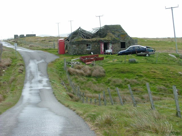
![Ruined croft house, 5-6 Hacklet (Hacleit), in 1995 Looking northeast across upper Loch Chearabhaigh (a sea loch) towards the scattered township of Kilerivagh.
According to local information from Mary Harman in 2018, the house is still there with the mid gable with chimney standing, but the roof is entirely gone. The windows are still clear, and the winnowing hole in the barn at the left hand side of the picture is still there. The telegraph pole behind the house, being redundant is no longer there.
The building probably dates from the 19th century and is Category B listed [<span class="nowrap"><a title="http://portal.historicenvironment.scot/designation/LB18754" rel="nofollow ugc noopener" href="http://portal.historicenvironment.scot/designation/LB18754">Link</a><img style="margin-left:2px;" alt="External link" title="External link - shift click to open in new window" src="https://s1.geograph.org.uk/img/external.png" width="10" height="10"/></span>]. It also appears on the Buildings at Risk Register [<span class="nowrap"><a title="https://www.buildingsatrisk.org.uk/search/keyword/hacklet/event_id/898243/building_name/5-6-hacklet" rel="nofollow ugc noopener" href="https://www.buildingsatrisk.org.uk/search/keyword/hacklet/event_id/898243/building_name/5-6-hacklet">Link</a><img style="margin-left:2px;" alt="External link" title="External link - shift click to open in new window" src="https://s1.geograph.org.uk/img/external.png" width="10" height="10"/></span>].](https://s3.geograph.org.uk/geophotos/05/75/00/5750063_735aba75.jpg)
Siusaigh is located at Grid Ref: NF8246 (Lat: 57.400326, Lng: -7.2865095)
Unitary Authority: Na h-Eileanan an Iar
Police Authority: Highlands and Islands
What 3 Words
///speech.cycled.ferrying. Near Balivanich, Na h-Eileanan Siar
Nearby Locations
Related Wikis

Grimsay (South East Benbecula)
Grimsay, south east of Benbecula is a tidal island of the Outer Hebrides. It is connected to Benbecula by a causeway which carries the B891. In the 2001...

Eilean na Cille
Eilean na Cille, south east of Benbecula is an island of the Outer Hebrides connected to Grimsay (South) by a causeway which carries the B891. The road...

Eileanan Chearabhaigh
Eileanan Chearabhaigh is a collection of small uninhabited tidal islands off the south east coast of Benbecula in the Outer Hebrides of Scotland. The English...

Iochdar
Iochdar (Scottish Gaelic: An t-Ìochdair), also spelled Eochar, is a hamlet and community on the west coast of the island of South Uist, in the Outer Hebrides...
Nearby Amenities
Located within 500m of 57.400326,-7.2865095Have you been to Siusaigh?
Leave your review of Siusaigh below (or comments, questions and feedback).