Eilean nan Caorach Glasa
Island in Inverness-shire
Scotland
Eilean nan Caorach Glasa

Eilean nan Caorach Glasa is a small island located in Inverness-shire, Scotland. It is situated in Loch Lochy, one of the three lochs that form the Great Glen. The island is approximately 1.5 hectares in size and is mostly covered in lush green vegetation, giving it its name, which translates to "Island of the Green Sheep" in Gaelic.
The island is uninhabited and is known for its natural beauty and tranquility. It is a popular destination for nature lovers and those seeking a peaceful retreat. Visitors can access the island by boat, with various boat tours and rentals available in the nearby town of Fort William.
Eilean nan Caorach Glasa is home to a variety of wildlife, including birds, seals, and occasionally otters. The island offers opportunities for birdwatching, as several species can be spotted throughout the year. The surrounding waters are also ideal for fishing, with anglers often visiting the area in search of trout and salmon.
The island's location within Loch Lochy provides stunning views of the surrounding mountains and the Great Glen. It is a popular spot for photographers and artists looking to capture the natural beauty of the Scottish Highlands.
While there are no facilities or amenities on Eilean nan Caorach Glasa, visitors can enjoy picnicking or simply relaxing in the peaceful surroundings. It is important to respect the island's fragile ecosystem and leave no trace when visiting.
If you have any feedback on the listing, please let us know in the comments section below.
Eilean nan Caorach Glasa Images
Images are sourced within 2km of 57.533317/-7.3288218 or Grid Reference NF8161. Thanks to Geograph Open Source API. All images are credited.


Eilean nan Caorach Glasa is located at Grid Ref: NF8161 (Lat: 57.533317, Lng: -7.3288218)
Unitary Authority: Na h-Eileanan an Iar
Police Authority: Highlands and Islands
What 3 Words
///paler.resolved.recapture. Near Balivanich, Na h-Eileanan Siar
Related Wikis

Battle of Carinish
The Battle of Carinish was a Scottish clan battle fought in North Uist in 1601. It was part of a year of feuding between Clan MacLeod of Dunvegan and the...

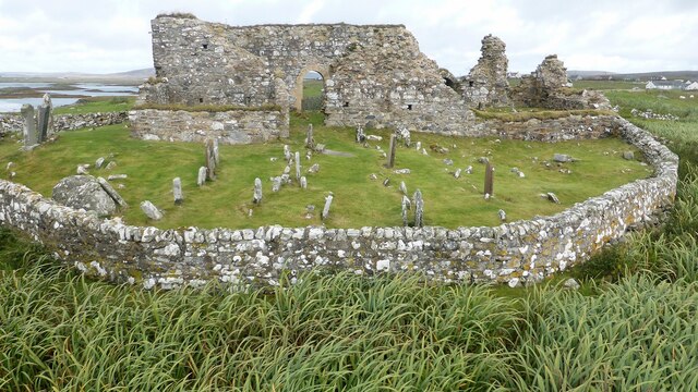
Teampull na Trionaid
Teampull na Trionaid ("trinity church") is a ruined 13th-century Augustinian nunnery at Carinish, on North Uist, in the Outer Hebrides of Scotland. �...

Carinish
Carinish (Scottish Gaelic: Càirinis), is a hamlet on North Uist, in the Outer Hebrides, Scotland. It is in the south of the island, about two miles (three...

Bail' Iochdrach
Bail' Iochdrach or Baliochrach (Scottish Gaelic: Am Baile Ìochdrach) is a village on Benbecula in the Outer Hebrides, Scotland. Baliochrach is within the...
Nearby Amenities
Located within 500m of 57.533317,-7.3288218Have you been to Eilean nan Caorach Glasa?
Leave your review of Eilean nan Caorach Glasa below (or comments, questions and feedback).