Eilean nan Stearnain

Island in Inverness-shire

Scotland

Eilean nan Stearnain

Floral machair The machair is a wonderful grassland ecosystem, that is fast getting quite rare as farming pratcises change. It houses a wide range of flowering plants and in summer is a wonderful sight.
Floral machair Credit: Malcolm Neal

The requested URL returned error: 429 Too Many Requests

If you have any feedback on the listing, please let us know in the comments section below.

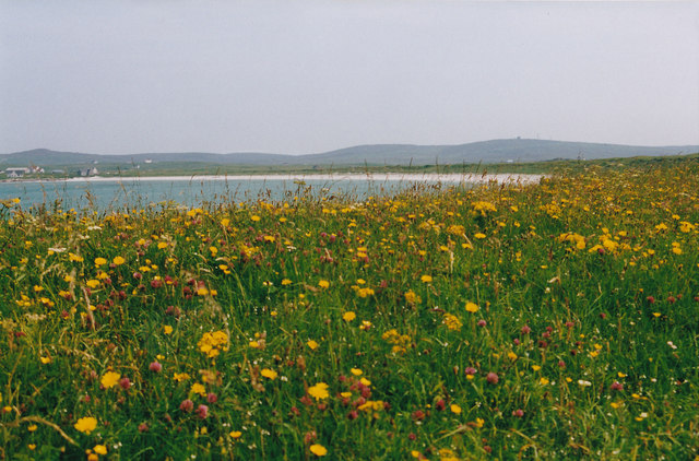
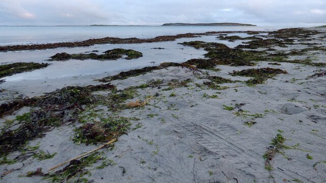
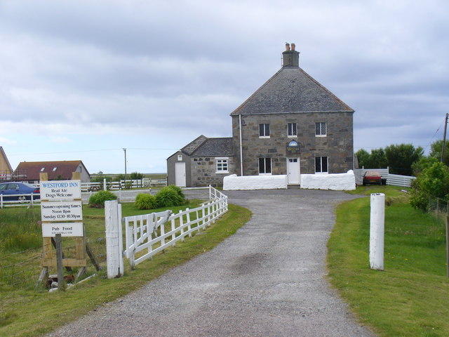
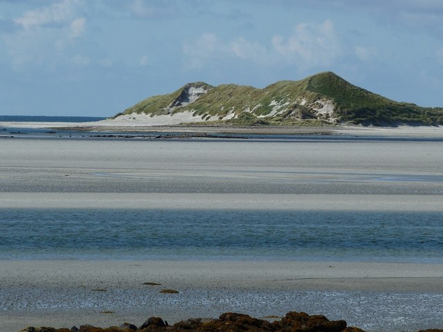
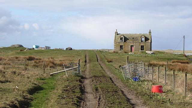
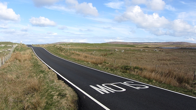
Eilean nan Stearnain Images

Images are sourced within 2km of 57.558271/-7.4082064 or Grid Reference NF7664. Thanks to Geograph Open Source API. All images are credited.

Floral machair The machair is a wonderful grassland ecosystem, that is fast getting quite rare as farming pratcises change. It houses a wide range of flowering plants and in summer is a wonderful sight.
Floral machair
The machair is a wonderful grassland ecosystem, that is fast getting quite rare as farming pratcises change. It houses a wide range of flowering plants and in summer is a wonderful sight.
Sand, sea and Kirkibost Island
Westford Inn Substantial stone house at Claddach on the west coast of North Uist - an inn and a B&B.
Westford Inn
Substantial stone house at Claddach on the west coast of North Uist - an inn and a B&B.
Eilean Chirceboist / Kirkibost Island View across the silvery sands and shifting waters off Cladach Chirceboist towards the islet of Chirceboist / Kirkibost. Taken from the garden of a little hall which also serves as a café and nursery.
Eilean Chirceboist / Kirkibost Island
View across the silvery sands and shifting waters off Cladach Chirceboist towards the islet of Chirceboist / Kirkibost. Taken from the garden of a little hall which also serves as a café and nursery.
The flat isle of Kirkibost Kirkibost (Chirceboist) is a generally very flat island off the western coast of North Uist, though sand dunes at the southern end do give it some height. (see <a href="https://www.geograph.org.uk/photo/2644175">NF7664 : Eilean Chirceboist / Kirkibost Island</a>)
The tiny dark triangular structures roughly in the centre of the island as seen here, are I believe the ruins of former dwellings on the island at the subject reference I have given for the photo.
The flat isle of Kirkibost
Kirkibost (Chirceboist) is a generally very flat island off the western coast of North Uist, though sand dunes at the southern end do give it some height. (see NF7664 : Eilean Chirceboist / Kirkibost Island) The tiny dark triangular structures roughly in the centre of the island as seen here, are I believe the ruins of former dwellings on the island at the subject reference I have given for the photo.
The shore near Cladach Chireboist Looking towards the gap between Eilean Chircebost (Kirkibost Island), on the right, and Baile Sear (Baleshare) on the left.
The map of Baleshare is littered with tiny 10m contours, though the northern tip seen here is much lower. Kirkibost has not a single 10m contour, though in this and other photos it appears to reach at least that height. One relevant factor is that the photos all seem to have been taken at low tide whereas height is measured above Mean Sea Level. However I suspect that the Ordnance Survey do not devote too much time to surveying islands like this which are hardly used and comprise mostly sand dunes which can and do shift! Perhaps at present this southern tip of Kirkibost is slightly higher than 10m.
The shore near Cladach Chireboist
Looking towards the gap between Eilean Chircebost (Kirkibost Island), on the right, and Baile Sear (Baleshare) on the left. The map of Baleshare is littered with tiny 10m contours, though the northern tip seen here is much lower. Kirkibost has not a single 10m contour, though in this and other photos it appears to reach at least that height. One relevant factor is that the photos all seem to have been taken at low tide whereas height is measured above Mean Sea Level. However I suspect that the Ordnance Survey do not devote too much time to surveying islands like this which are hardly used and comprise mostly sand dunes which can and do shift! Perhaps at present this southern tip of Kirkibost is slightly higher than 10m.
Beach at Mol Greannach Spume lines the sand after the storm
Beach at Mol Greannach
Spume lines the sand after the storm
Tidal textures at Slugan A small section of the western shoreline of the Uists
Tidal textures at Slugan
A small section of the western shoreline of the Uists
Cladach Chirceboist Fattening the calves
Cladach Chirceboist
Fattening the calves
Abandoned house, Cladach a' Chaolais Old housing stock on the west side of North Uist.
Abandoned house, Cladach a' Chaolais
Old housing stock on the west side of North Uist.
New road surface, A865 Newly resurfaced single track road.
New road surface, A865
Newly resurfaced single track road.
Mol Greannach beach A mixture of (mainly) sand and some small shingly patches.
Mol Greannach beach
A mixture of (mainly) sand and some small shingly patches.
Along the dune ridge at Slugan
The tidal channel that separates Eilean Chirceboist I think the channel has moved a little way south of its marked position on the map(s), but either way, it helps explain why there are currently several unclaimed squares just north & west of here. It may be possible to reach the island across the sands of Tràigh Leathann from the road around N Uist, but as it's a fairly long walk there & back, I suspect it would involve 'marooning' yourself on the island while the tide's in. Or just get a boat/kayak. Or wade this channel.
The tidal channel that separates Eilean Chirceboist
I think the channel has moved a little way south of its marked position on the map(s), but either way, it helps explain why there are currently several unclaimed squares just north & west of here. It may be possible to reach the island across the sands of Tràigh Leathann from the road around N Uist, but as it's a fairly long walk there & back, I suspect it would involve 'marooning' yourself on the island while the tide's in. Or just get a boat/kayak. Or wade this channel.
A big stick 30-odd feet of wooden pier or spar, tossed up onto the storm bank by a good blow. It's been here a couple of years at the very least:- <a href="https://www.geograph.org.uk/photo/1478709">NF7663 : Spar on the dunes</a>
A big stick
30-odd feet of wooden pier or spar, tossed up onto the storm bank by a good blow. It's been here a couple of years at the very least:- NF7663 : Spar on the dunes
Pebbles, sand and water There's not a lot of land in this square, but a photo is possible from the point where the sand spit at the north end of Baleshare turns the corner. Across the sands are crofts on North Uist.
Pebbles, sand and water
There's not a lot of land in this square, but a photo is possible from the point where the sand spit at the north end of Baleshare turns the corner. Across the sands are crofts on North Uist.
Kirkibost Island from Baleshare At low tide the narrow channel between these two sandy islands looks easy enough to wade across, but only the brave or foolish would try such a crossing as the channel is probably deeper than it looks and has a strong current.
Kirkibost Island from Baleshare
At low tide the narrow channel between these two sandy islands looks easy enough to wade across, but only the brave or foolish would try such a crossing as the channel is probably deeper than it looks and has a strong current.
Dead sperm whale on Kirkibost Dead sperm whale on the island of Kirkibost.
August 2012
Dead sperm whale on Kirkibost
Dead sperm whale on the island of Kirkibost. August 2012
Show me another place!

Eilean nan Stearnain is located at Grid Ref: NF7664 (Lat: 57.558271, Lng: -7.4082064)

Unitary Authority: Na h-Eileanan an Iar

Police Authority: Highlands and Islands

What 3 Words

///times.gladiators.thundered. Near Balivanich, Na h-Eileanan Siar

Related Wikis

Kirkibost

Kirkibost (Scottish Gaelic: Eilean Chirceaboist) is a low-lying island west of North Uist in the Outer Hebrides of Scotland. == Geography == Kirkibost...

Ardheisker

Ardheisker (Scottish Gaelic: Àird Heillsgeir) is a settlement on North Uist, in the Outer Hebrides, Scotland. Ardheisker is within the parish of North...

Baleshare

Baleshare (Scottish Gaelic: Baile Sear) is a flat tidal island in the Outer Hebrides of Scotland. Baleshare lies to the south-west of North Uist. Its economics...

North Uist

North Uist (Scottish Gaelic: Uibhist a Tuath; Scots: North Uise) is an island and community in the Outer Hebrides of Scotland. == Etymology == In Donald...

Have you been to Eilean nan Stearnain?

Leave your review of Eilean nan Stearnain below (or comments, questions and feedback).