Corr-eilean

Island in Inverness-shire

Scotland

Corr-eilean

Old Milestone by the A865, Claddach-vallay, North Uist Granite slab by the A865, in parish of North Uist (North Uist District), Claddach-vallay, 100m Southeast of village sign.

Inscription not recorded.

Surveyed

Milestone Society National ID: WI_NUCW12
Old Milestone by the A865, Claddach-vallay, North Uist Credit: Milestone Society

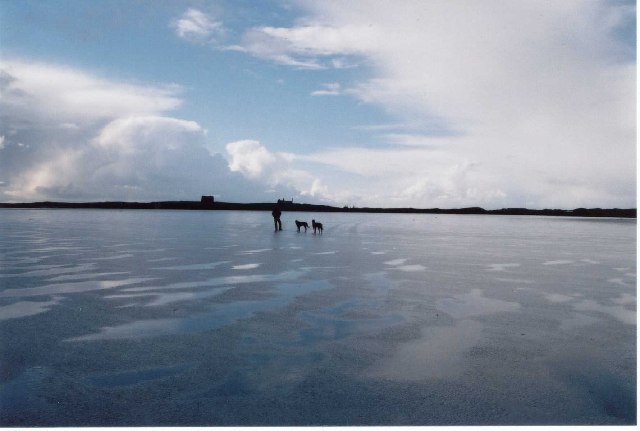
Corr-eilean is a picturesque island located in Inverness-shire, Scotland. Situated in the Inner Hebrides, it is surrounded by the crystal-clear waters of the Scottish Highlands, making it a stunning destination for nature enthusiasts and adventurers.

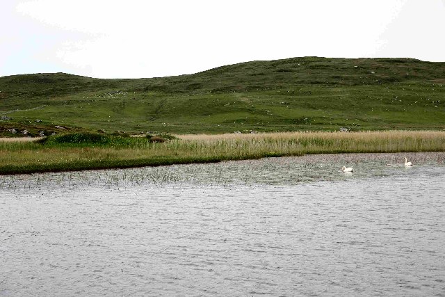
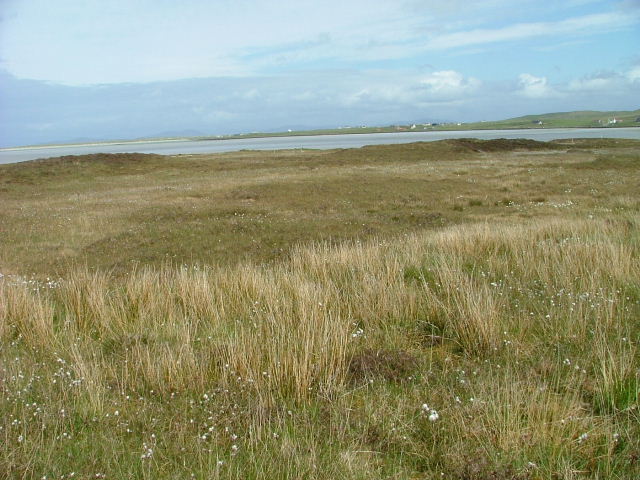
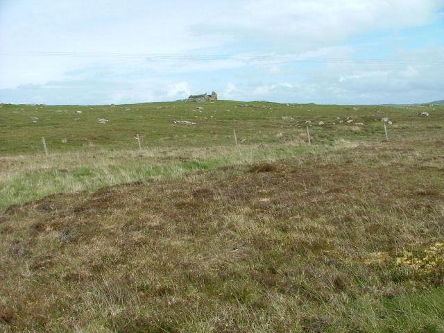
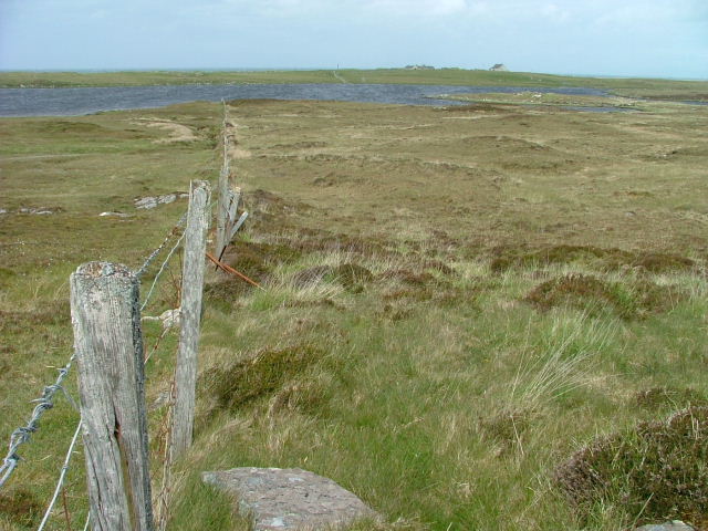
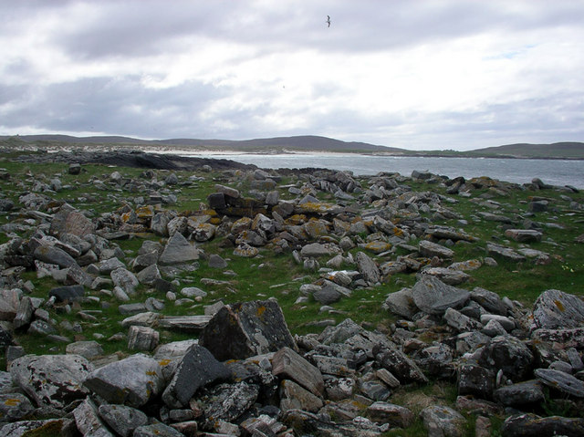
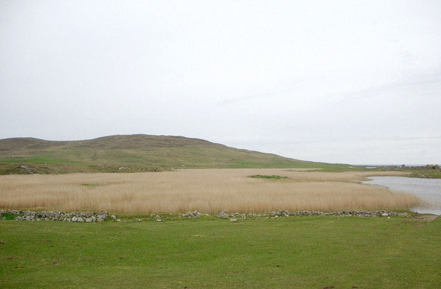
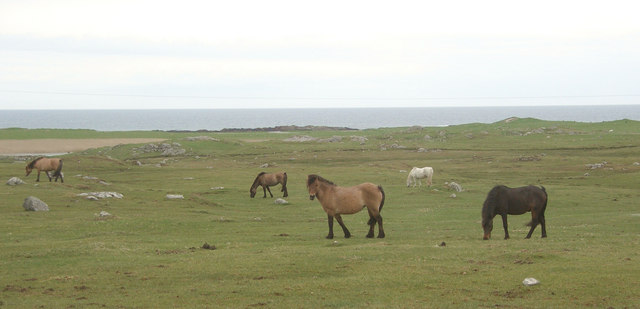
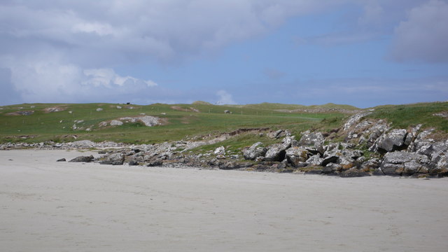
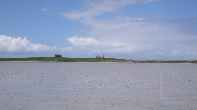
Measuring approximately 1.5 square miles, Corr-eilean boasts a diverse landscape that ranges from rugged cliffs to peaceful sandy beaches. The island is known for its rich biodiversity, with a variety of plant and animal species thriving in its unique ecosystem. Visitors can explore the island's lush green hills and woodlands, which are home to numerous bird species, including puffins and sea eagles.

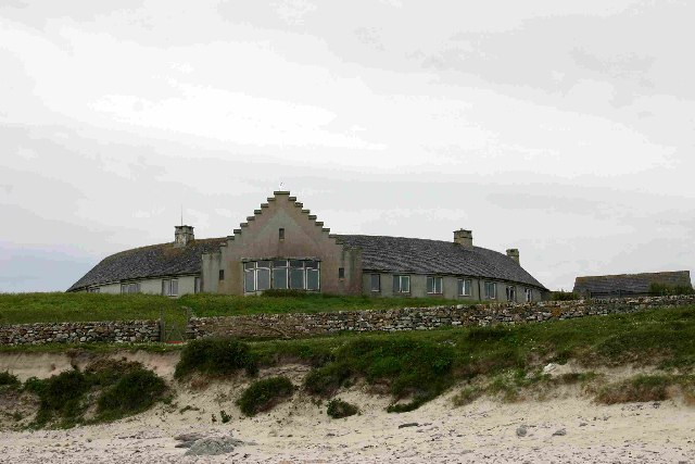
One of the island's main attractions is its historic castle, which dates back to the 14th century. The castle stands proudly on a rocky outcrop, offering breathtaking views of the surrounding landscape. Visitors can take guided tours to learn about the castle's intriguing past and explore its well-preserved interior.

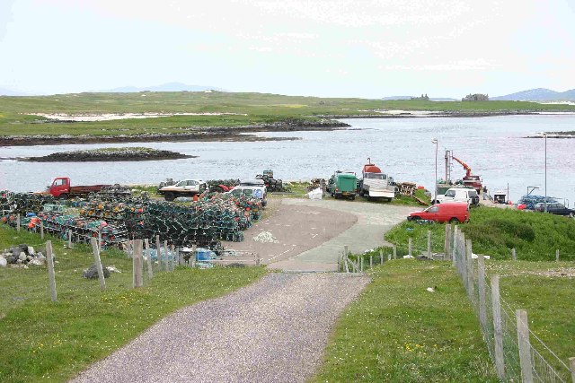
For outdoor enthusiasts, Corr-eilean offers a range of activities such as hiking, fishing, and wildlife spotting. The island's coastal waters are ideal for kayaking and sailing, while its clear seas provide excellent diving opportunities.

Despite its relatively small size, Corr-eilean is home to a small community of friendly locals who are proud of their island's heritage. They warmly welcome visitors and offer a range of accommodation options, including cozy bed and breakfasts and self-catering cottages.

Corr-eilean truly offers a tranquil and captivating escape from the bustling modern world. With its stunning natural beauty and rich history, it is a destination that will leave visitors with unforgettable memories.

If you have any feedback on the listing, please let us know in the comments section below.
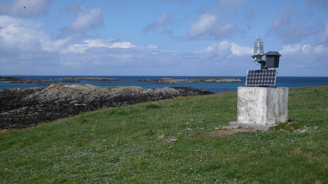
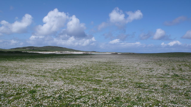
Corr-eilean Images

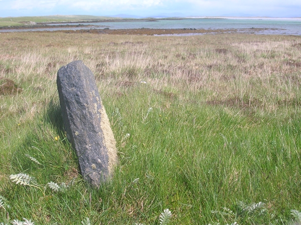
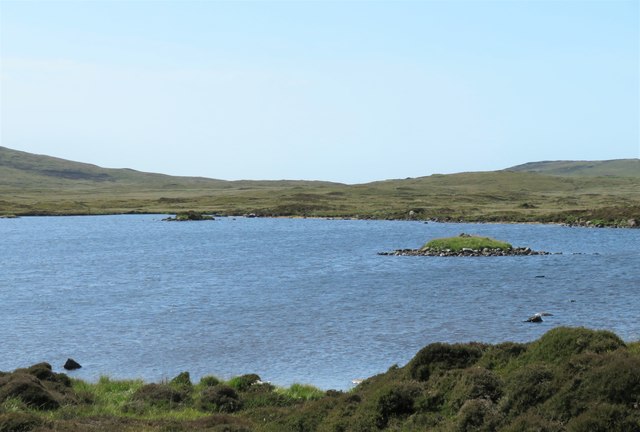
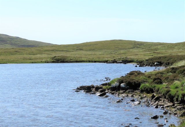
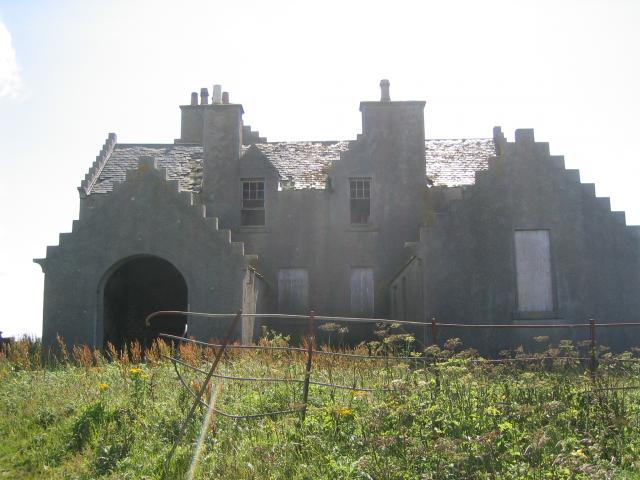
Images are sourced within 2km of 57.653957/-7.4238529 or Grid Reference NF7675. Thanks to Geograph Open Source API. All images are credited.

Old Milestone by the A865, Claddach-vallay, North Uist Granite slab by the A865, in parish of North Uist (North Uist District), Claddach-vallay, 100m Southeast of village sign.

Inscription not recorded.

Surveyed

Milestone Society National ID: WI_NUCW12
Old Milestone by the A865, Claddach-vallay, North Uist
Granite slab by the A865, in parish of North Uist (North Uist District), Claddach-vallay, 100m Southeast of village sign. Inscription not recorded. Surveyed Milestone Society National ID: WI_NUCW12
Loch na Gearrachun The tiny island is the site of a dun, whilst the stone causeway leading to it can just be seen to the right.
Loch na Gearrachun
The tiny island is the site of a dun, whilst the stone causeway leading to it can just be seen to the right.
Loch Fada na Gearrachun Small thin loch linked to its larger neighbour by a small channel.
Loch Fada na Gearrachun
Small thin loch linked to its larger neighbour by a small channel.
Erskine Beveridge's house on Bhalaigh The abandoned house of the historian Erskine Beveridge.
Erskine Beveridge's house on Bhalaigh
The abandoned house of the historian Erskine Beveridge.
Traigh Bhalaigh The island of Vallay (Bhalaigh), is only accessible by foot at low tide. It is situated on the North of North Uist. The island itself has standing stones and remnants of ancient settlements and the crumbling ruins of Vallay House. This, once grand, building and several outhouses was owned by Erskine Beveridge, who contributed greatly to the archaeology of North Uist and wrote a weighty book on the subject.
Traigh Bhalaigh
The island of Vallay (Bhalaigh), is only accessible by foot at low tide. It is situated on the North of North Uist. The island itself has standing stones and remnants of ancient settlements and the crumbling ruins of Vallay House. This, once grand, building and several outhouses was owned by Erskine Beveridge, who contributed greatly to the archaeology of North Uist and wrote a weighty book on the subject.
Callernish House Callernish House was built in 1961 by the 5th Earl Granville. Designed by Sir Martyn Beckett, it has 14 bedrooms and 8 bathrooms. It is listed as a folly in Headley and Meulenkamp's Follies, the standard guide to follies in Britain
Callernish House
Callernish House was built in 1961 by the 5th Earl Granville. Designed by Sir Martyn Beckett, it has 14 bedrooms and 8 bathrooms. It is listed as a folly in Headley and Meulenkamp's Follies, the standard guide to follies in Britain
Dun in Loch an Eilean Picture taken from East side of the Loch
Dun in Loch an Eilean
Picture taken from East side of the Loch
Pier with Bhalaigh in the background
Machair Looking towards Tràigh Bhàlaigh.
Machair
Looking towards Tràigh Bhàlaigh.
Ruin on the Moorland Looking southwest from the A865.
Ruin on the Moorland
Looking southwest from the A865.
Fence running to Loch Olabhat Houses at Griminis in the distance.
Fence running to Loch Olabhat
Houses at Griminis in the distance.
Teampull Orain The surf scattered ruin of Teampull Orain on Isle Oronsay
Teampull Orain
The surf scattered ruin of Teampull Orain on Isle Oronsay
Reedbed, Loch an Eilean Looking westwards across a reedbed occupying a large part of Loch an Eilean. The hill in the background is Beinn Scolpaig.
Reedbed, Loch an Eilean
Looking westwards across a reedbed occupying a large part of Loch an Eilean. The hill in the background is Beinn Scolpaig.
Grazing land at Griminis, North Uist View looking north west of grazing land to the east of Loch an Eilean. The grazers here are horses and ponies of a riding centre.
Grazing land at Griminis, North Uist
View looking north west of grazing land to the east of Loch an Eilean. The grazers here are horses and ponies of a riding centre.
Aird Mhic Caoilt Peninsula extending into the incredible vastness of Vallay Strand.
Aird Mhic Caoilt
Peninsula extending into the incredible vastness of Vallay Strand.
Bhalaigh House Bhalaigh viewed across Traigh Bhalaigh.  This vast expanse of sand dries to such an extent that at low tide cars can drive across to the island.
Bhalaigh House
Bhalaigh viewed across Traigh Bhalaigh. This vast expanse of sand dries to such an extent that at low tide cars can drive across to the island.
Navigation Beacon, Caolas Bhalaigh I think this beacon is used to aid navigation into the narrow and shallow Caolas Bhalaigh.
Navigation Beacon, Caolas Bhalaigh
I think this beacon is used to aid navigation into the narrow and shallow Caolas Bhalaigh.
Vallay Machair The machair is such a fine sight, no many how many times you see it.  A mass of wild flowers as far as the eye can see and buzzing with bumblebees and butterflies everywhere.
Vallay Machair
The machair is such a fine sight, no many how many times you see it. A mass of wild flowers as far as the eye can see and buzzing with bumblebees and butterflies everywhere.
Show me another place!

Corr-eilean is located at Grid Ref: NF7675 (Lat: 57.653957, Lng: -7.4238529)

Unitary Authority: Na h-Eileanan an Iar

Police Authority: Highlands and Islands

What 3 Words

///claw.charmingly.committee. Near Lochmaddy, Na h-Eileanan Siar

Related Wikis

Vallay

Vallay (Scottish Gaelic: Bhàlaigh) is an uninhabited tidal island in the Scottish Outer Hebrides. It can be reached from North Uist by a long beach at...

Eilean Dòmhnuill

Ian Armit identifies the islet of Eilean Dòmhnuill (Scottish Gaelic: Eilean Dòmhnaill, Scottish Gaelic pronunciation: [elan ˈt̪õː.ɪʎ], "The Isle of Donald...

Scolpaig Tower

Scolpaig Tower (also known as Dùn Scolpaig or MacLeod’s Folly) is a Georgian folly located near the village of Scolpaig on the island of North Uist in...

Scolpaig

Scolpaig (Scottish Gaelic: Sgolpaig) is a district on the north-west coast of the island of North Uist in the Outer Hebrides of Scotland. In 2018 it was...

Nearby Amenities

Located within 500m of 57.653957,-7.4238529
Created By: dmgroom_coastlines
Lat/Long: 57.65608/-7.41736
Created By: dmgroom_coastlines
Lat/Long: 57.65609/-7.41784
Created By: dmgroom_coastlines
Lat/Long: 57.65623/-7.41878
Created By: dmgroom_coastlines
Lat/Long: 57.65649/-7.41877
Created By: dmgroom_coastlines
Lat/Long: 57.65647/-7.41782
Created By: dmgroom_coastlines
Lat/Long: 57.65673/-7.4178
Created By: dmgroom_coastlines
Lat/Long: 57.65674/-7.41876
Created By: dmgroom_coastlines
Lat/Long: 57.65725/-7.41874
Created By: dmgroom_coastlines
Lat/Long: 57.65621/-7.41711
Created By: dmgroom_coastlines
Lat/Long: 57.65431/-7.4289
Created By: dmgroom_coastlines
Lat/Long: 57.65482/-7.42888
Created By: dmgroom_coastlines
Lat/Long: 57.65482/-7.4284
Created By: dmgroom_coastlines
Lat/Long: 57.6543/-7.42842
Created By: dmgroom_coastlines
Lat/Long: 57.65434/-7.43176
Created By: dmgroom_coastlines
Lat/Long: 57.6546/-7.43175
Created By: dmgroom_coastlines
Lat/Long: 57.65459/-7.4308
Created By: dmgroom_coastlines
Lat/Long: 57.65433/-7.43057
The data included in this document is from www.openstreetmap.org. The data is made available under ODbL.

Have you been to Corr-eilean?

Leave your review of Corr-eilean below (or comments, questions and feedback).