Black Cleugh
Corrie (Glacial Valley) in Northumberland
England
Black Cleugh
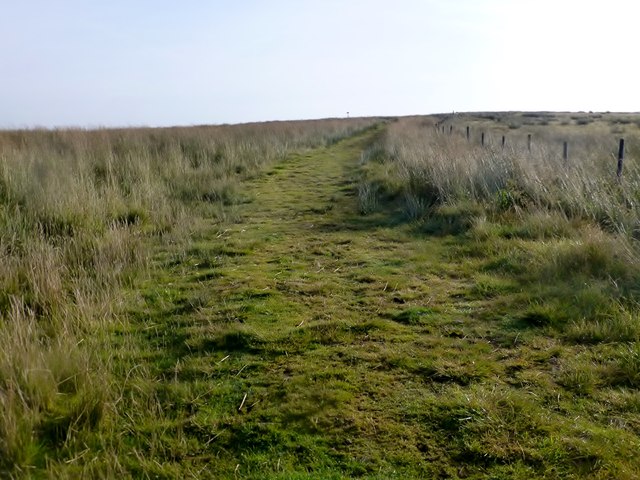
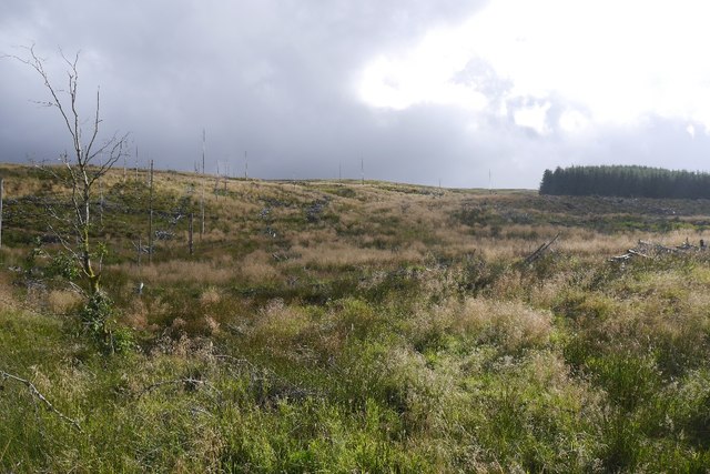
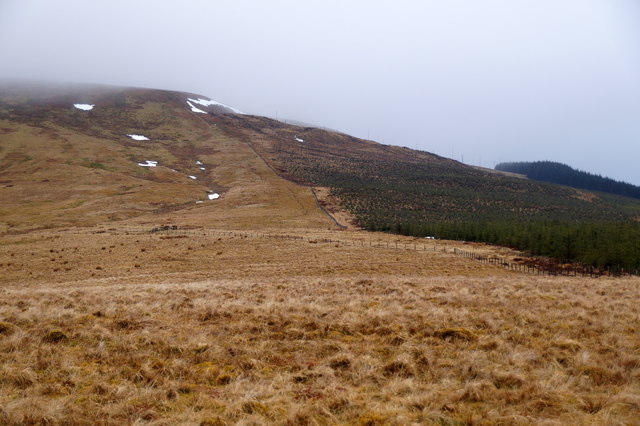
Black Cleugh is a small but remarkable corrie located in the county of Northumberland, England. Situated in the remote area of the Cheviot Hills, it is a popular destination for both nature enthusiasts and geologists alike.
This glacial valley, also known as a corrie, was formed during the last Ice Age, around 10,000 years ago. As glaciers slowly advanced and retreated, immense pressure carved out a deep and steep-sided hollow, creating the unique landscape that is Black Cleugh today. The valley is characterized by its U-shaped cross-section, with towering cliffs on three sides and a narrow opening at one end.
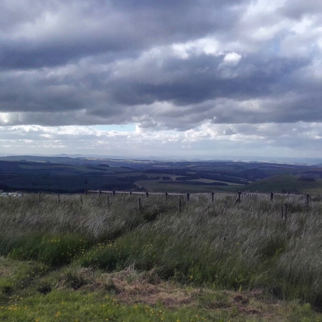
The surrounding area is abundant in natural beauty, with picturesque views of rolling hills, rugged rocks, and lush greenery. The valley is home to a diverse range of plant and animal species, including mosses, heather, and various alpine flowers. It also provides a habitat for rare bird species, such as the golden eagle and peregrine falcon.
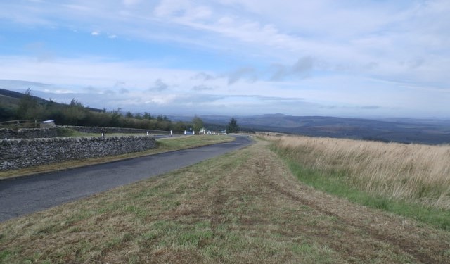
Visitors to Black Cleugh can enjoy a range of outdoor activities, such as hiking, birdwatching, and photography. The valley offers several well-marked trails that cater to different skill levels, allowing visitors to explore its scenic wonders at their own pace. The tranquility and isolation of the area make it an ideal spot for those seeking solace in nature.
Overall, Black Cleugh is a captivating destination that showcases the geological history and natural beauty of Northumberland. Its dramatic landscape and abundance of flora and fauna make it a must-visit for anyone with an appreciation for the great outdoors.
If you have any feedback on the listing, please let us know in the comments section below.
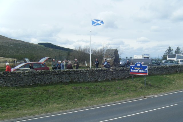
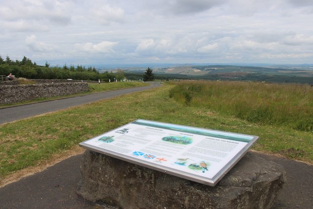
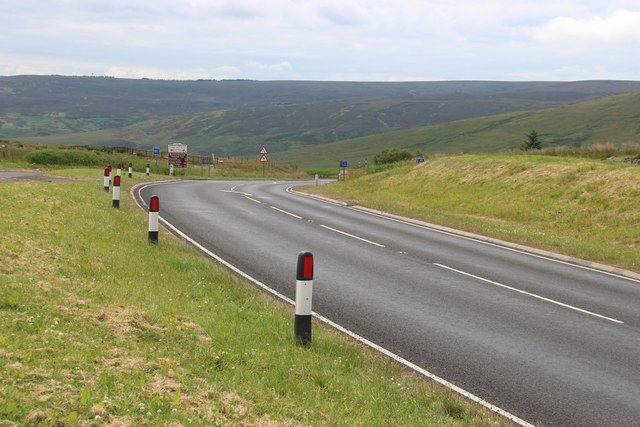
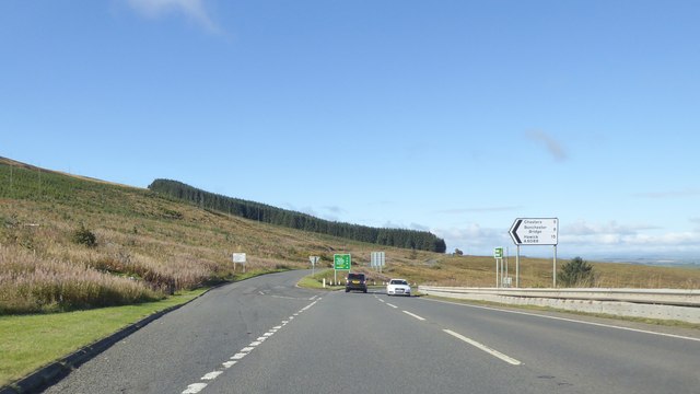
Black Cleugh Images
Images are sourced within 2km of 55.341139/-2.4836514 or Grid Reference NT6905. Thanks to Geograph Open Source API. All images are credited.


Black Cleugh is located at Grid Ref: NT6905 (Lat: 55.341139, Lng: -2.4836514)
Unitary Authority: Northumberland
Police Authority: Northumbria
What 3 Words
///vacancies.wired.save. Near Rochester, Northumberland
Nearby Locations
Related Wikis

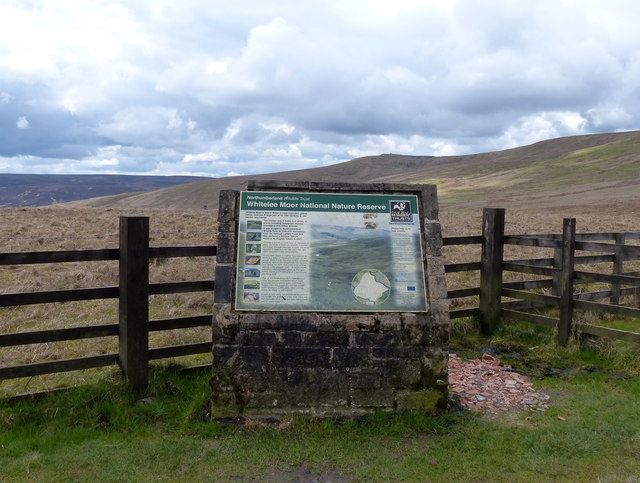
Whitelee Moor
Whitelee Moor is nature reserve of the Northumberland Wildlife Trust, in Northumberland, England, near Carter Bar. A large part of the moor is blanket...

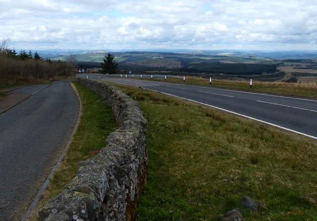
Carter Bar
Carter Bar is a pass in the Cheviot Hills, on the Anglo-Scottish border. It lies east of Carter Fell at the head of Redesdale, and is crossed by the A68...
Raid of the Redeswire
The Raid of the Redeswire, also known as the Redeswire Fray, was a border skirmish between England and Scotland on 7 July 1575 which took place at Carter...

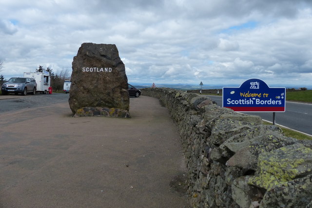
Scottish Borders
The Scottish Borders (Scots: the Mairches, lit. 'the Marches'; Scottish Gaelic: Crìochan na h-Alba) is one of 32 council areas of Scotland. It is bordered...
Ramshope
Ramshope is a hamlet and former civil parish, now in the parish of Rochester in Northumberland, England located in Northumberland National Park. It lies...

Edgerston
Edgerston is a village and an estate about 4 miles (6.4 km) north of the Anglo-Scottish border, and 8 miles (13 km) south of Jedburgh in the Scottish Borders...

Southdean
Southdean is a hamlet in the Scottish Borders area of Scotland, on the A6088, by the Jed Water and in the Wauchope Forest area. Other settlements nearby...
Byrness
Byrness is a village within Rochester civil parish in Northumberland, England. It is approximately 37 miles (60 km) north-west of Newcastle upon Tyne on...
Nearby Amenities
Located within 500m of 55.341139,-2.4836514Have you been to Black Cleugh?
Leave your review of Black Cleugh below (or comments, questions and feedback).