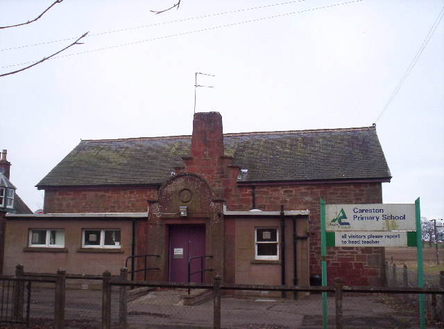
Corrie Cleach
Corrie (Glacial Valley) in Angus
Scotland
Corrie Cleach

Corrie Cleach, also known as Corrie (Glacial Valley), is a geographical feature located in Angus, Scotland. A corrie, also called a cirque, is a bowl-shaped hollow found on the side of a mountain formed by glacial erosion.
Corrie Cleach is situated in the scenic Angus Glens, a region known for its dramatic landscapes and natural beauty. It is nestled within the Grampian Mountains, specifically in the southern part of Glen Clova. The corrie is positioned at an elevation of approximately 700 meters (2300 feet) above sea level, making it a popular destination for hikers and nature enthusiasts.
The unique formation of Corrie Cleach is a result of past glaciation. During the last Ice Age, glaciers carved out the corrie by slowly eroding the surrounding mountains. The steep, rocky walls of the corrie enclose a concave basin, often containing a small lake or tarn at its base. These water bodies are usually fed by the melting snow and ice found in the corrie.
Corrie Cleach offers breathtaking views of the surrounding mountains, with its impressive cliffs and rugged terrain. The corrie is accessible via several hiking trails, providing visitors with the opportunity to explore and appreciate its natural wonders. Its remote location and tranquil atmosphere make it a serene and peaceful destination, attracting those seeking solitude and a connection with nature.
In conclusion, Corrie Cleach in Angus, Scotland, is a picturesque corrie situated in the stunning Angus Glens, formed by glacial erosion. Its captivating beauty and peaceful surroundings make it a must-visit location for outdoor enthusiasts.
If you have any feedback on the listing, please let us know in the comments section below.
Corrie Cleach Images
Images are sourced within 2km of 56.798589/-2.8277112 or Grid Reference NO4967. Thanks to Geograph Open Source API. All images are credited.


Corrie Cleach is located at Grid Ref: NO4967 (Lat: 56.798589, Lng: -2.8277112)
Unitary Authority: Angus
Police Authority: Tayside
What 3 Words
///reminder.darkest.corporate. Near Brechin, Angus
Nearby Locations
Related Wikis
Menmuir
Menmuir is a parish in the county of Angus in Scotland. Kirkton of Menmuir consists of only three houses (the Old Schoolhouse, the Manse, the Old Inn)...
Auchnacree
Auchnacree is an estate in Angus, Scotland, five miles north of Forfar.In 1921 the estate overseer, Mr Frank Rae, discovered what is now called the Auchnacree...
Caterthun
Caterthun, or the Caterthuns, is a ridge of hills near the city of Brechin in Angus, Scotland. The Caterthuns are notable for being the site of two Iron...
Angus (UK Parliament constituency)
Angus is a county constituency of the House of Commons of the Parliament of the United Kingdom (at Westminster). It elects one Member of Parliament (MP...
Noranside
Noranside is a hamlet in Angus, Scotland, located at 56° 44' 0" North, 2° 52' 0" West,. The prison HMP Noranside was operated there from 1966 to 2011....
Five Glens of Angus
The Five Glens of Angus are the five Highland glens located in the western portion of the Angus region of Scotland. The five glens from westernmost to...
Careston railway station
Careston railway station served the hamlet of Careston, Angus, Scotland, from 1895 to 1964 on the Forfar and Brechin Railway. == History == The station...
Careston
Careston is a hamlet in Angus, Scotland that is in the parish of the same name, 5 miles west of Brechin. The parish and hamlet supposedly took their name...
Nearby Amenities
Located within 500m of 56.798589,-2.8277112Have you been to Corrie Cleach?
Leave your review of Corrie Cleach below (or comments, questions and feedback).


