Corrie Lawen

Corrie (Glacial Valley) in Angus

Scotland

Corrie Lawen

Glen Uig, Braes of Angus The overgrown sheep fank to the left of the picture shows how grouse moors have replaced sheep runs in this part of the Grampians.
Glen Uig, Braes of Angus Credit: Iain A Robertson

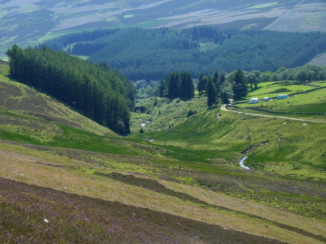
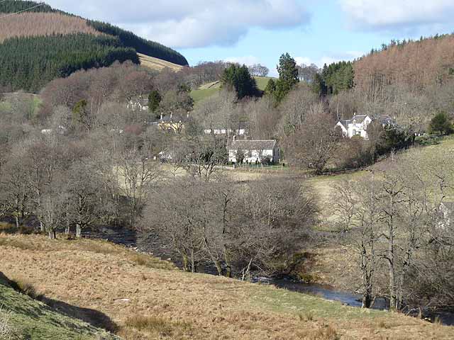
Corrie Lawen, also known as Corrie (Glacial Valley), is a small but picturesque valley located in Angus, Scotland. It is situated in the southern part of the Cairngorms National Park, near the town of Braemar. This glacial valley is renowned for its natural beauty, attracting hikers, nature enthusiasts, and photographers alike.

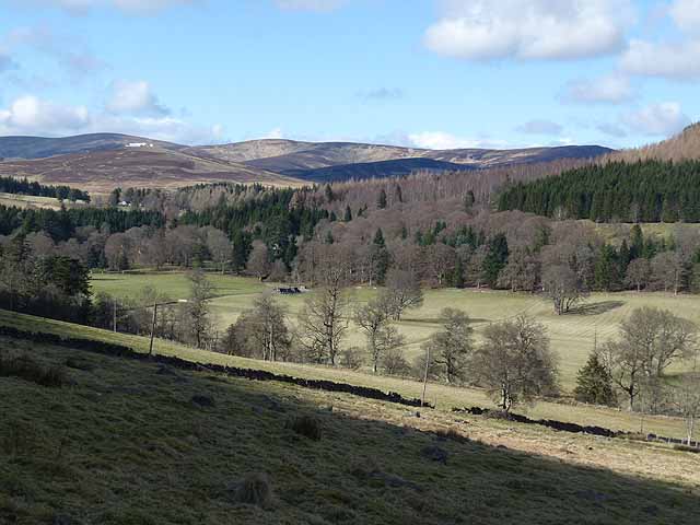
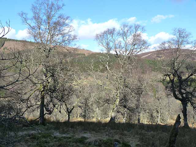
Corrie Lawen is characterized by its U-shaped valley, which was formed by glacial erosion during the last Ice Age. The valley is surrounded by steep, rugged mountains, with some peaks reaching over 1,000 meters in elevation. The landscape is adorned with stunning rock formations, cascading waterfalls, and lush vegetation, making it a paradise for flora and fauna.

The valley offers numerous hiking trails of varying difficulty levels, allowing visitors to explore its diverse ecosystem. One of the most popular routes is the Corrie Lawen Circuit, which takes hikers on a scenic journey around the valley, providing breathtaking views of the surrounding mountains and the vibrant colors of the landscape.

Wildlife is abundant in Corrie Lawen, with sightings of various species such as red deer, mountain hares, and golden eagles. The valley is also home to a variety of plant species, including heather, mosses, and wildflowers, which add to its natural charm.

Visitors to Corrie Lawen can enjoy a peaceful and tranquil atmosphere, away from the hustle and bustle of urban life. It offers a perfect escape for those seeking solitude, serenity, and a chance to reconnect with nature.

If you have any feedback on the listing, please let us know in the comments section below.
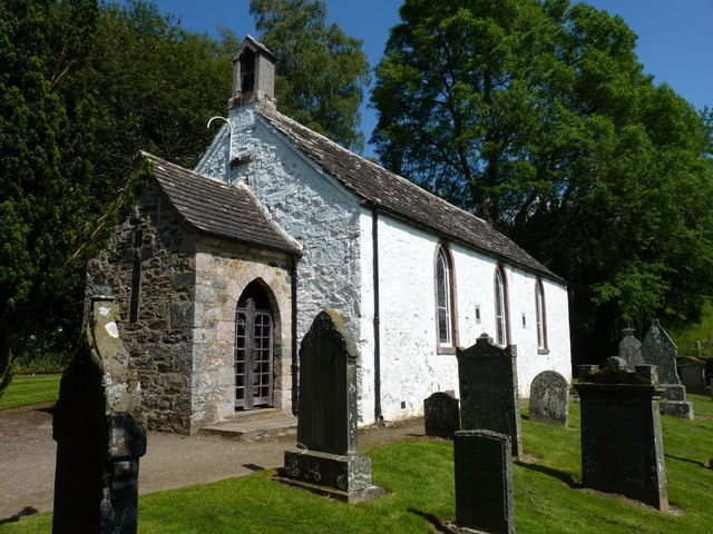
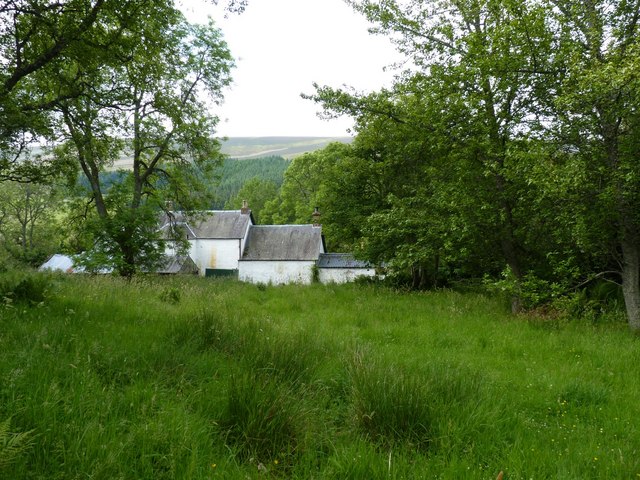
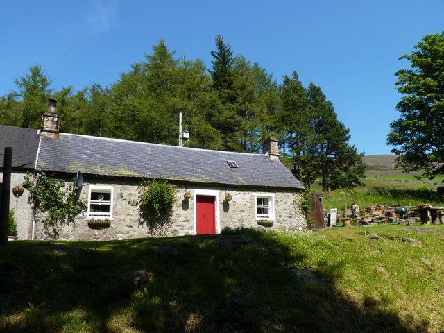
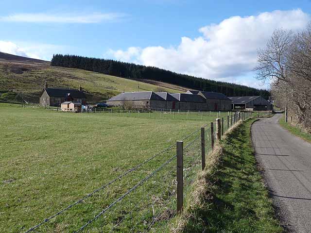
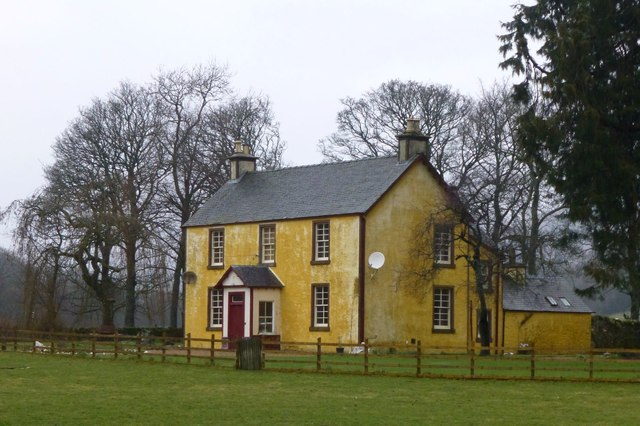
Corrie Lawen Images

Images are sourced within 2km of 56.775668/-3.1232897 or Grid Reference NO3165. Thanks to Geograph Open Source API. All images are credited.

Glen Uig, Braes of Angus The overgrown sheep fank to the left of the picture shows how grouse moors have replaced sheep runs in this part of the Grampians.
Glen Uig, Braes of Angus
The overgrown sheep fank to the left of the picture shows how grouse moors have replaced sheep runs in this part of the Grampians.
Unusual war memorial The war memorial in Glen Prosen village takes the form of this Memorial Porch attached to Glen Prosen Kirk. The Cross of Sacrifice on the porch gable was formed by embedding slates into the wall itself. The names of the fallen are recorded on a bronze tablet inside the porch.
Unusual war memorial
The war memorial in Glen Prosen village takes the form of this Memorial Porch attached to Glen Prosen Kirk. The Cross of Sacrifice on the porch gable was formed by embedding slates into the wall itself. The names of the fallen are recorded on a bronze tablet inside the porch.
Buildings in Glen Prosen village Seen from the track onown as the Minister's Path that leads across the moor to Glen Clova.
Buildings in Glen Prosen village
Seen from the track onown as the Minister's Path that leads across the moor to Glen Clova.
Pitcarity cottage On the edge of the hamlet of Glen Prosen.
Pitcarity cottage
On the edge of the hamlet of Glen Prosen.
Burn of Inchmill glen North on Glen Prosen village.
Burn of Inchmill glen
North on Glen Prosen village.
Glen Prosen at Cormuir The most prominent peak on the skyline is Driesh <a href="https://www.geograph.org.uk/gridref/NO2773">NO2773</a>, still with patches of snow even on south-facing slopes.
Glen Prosen at Cormuir
The most prominent peak on the skyline is Driesh NO2773, still with patches of snow even on south-facing slopes.
Glen Prosen - the path to Glen Markie and Glen Isla One of a chain of signposted paths linking the Glens of Angus.
Glen Prosen - the path to Glen Markie and Glen Isla
One of a chain of signposted paths linking the Glens of Angus.
Glen Prosen at Balnaboth Balnaboth is hidden in the trees on the far side of the valley. There are still patches of snow on the mountains at the head of the Glen, even on the south-facing slopes.
Glen Prosen at Balnaboth
Balnaboth is hidden in the trees on the far side of the valley. There are still patches of snow on the mountains at the head of the Glen, even on the south-facing slopes.
Glenprosen village Seen across the river.
Glenprosen village
Seen across the river.
Bridge over the Prosen Water Looking downstream, below Glenprosen village.
Bridge over the Prosen Water
Looking downstream, below Glenprosen village.
Woodland near Dalairn The wooded slopes of Blanaboth Craig can be seen on the far side of the valley.
Woodland near Dalairn
The wooded slopes of Blanaboth Craig can be seen on the far side of the valley.
Wester Dalinch Farm A small floodplain occupies the floor of Glen Prosen at this point.
Wester Dalinch Farm
A small floodplain occupies the floor of Glen Prosen at this point.
Prosen Water Near Cormuir.
Typical 'glen weather'.
Prosen Water
Near Cormuir. Typical 'glen weather'.
Dalairn Cottage beside Prosen Water.
Dalairn
Cottage beside Prosen Water.
Glen Prosen Church Built 1802, paid for by local inhabitants, ensuring continuous worship in the glen for nearly 400 years. It is a simple traditional white-washed church. 
<span class="nowrap"><a title="https://www.scotlandschurchestrust.org.uk/church/glen-prosen-church" rel="nofollow ugc noopener" href="https://www.scotlandschurchestrust.org.uk/church/glen-prosen-church">Link</a><img style="margin-left:2px;" alt="External link" title="External link - shift click to open in new window" src="https://s1.geograph.org.uk/img/external.png" width="10" height="10"/></span>
Glen Prosen Church
Built 1802, paid for by local inhabitants, ensuring continuous worship in the glen for nearly 400 years. It is a simple traditional white-washed church. LinkExternal link
Cottage in Glen Prosen Near Glenprosen Village.
Cottage in Glen Prosen
Near Glenprosen Village.
Footbridge over Prosen Water At Glenprosen Village.
Footbridge over Prosen Water
At Glenprosen Village.
Spott Farm Glen Prosen At the foot of the Hill of Spott.
Spott Farm Glen Prosen
At the foot of the Hill of Spott.
Show me another place!

Corrie Lawen is located at Grid Ref: NO3165 (Lat: 56.775668, Lng: -3.1232897)

Unitary Authority: Angus

Police Authority: Tayside

What 3 Words

///lofts.grounding.hacking. Near Kirriemuir, Angus

Nearby Locations

Corrie Lawen

Related Wikis

Cat Law

Cat Law (671 m) is a hill in the southern Mounth of Scotland, north of Kirriemuir in Angus. A rounded peak, it lies above Strathmore in the south and offers...

Balintore Castle

Balintore Castle is a Victorian Category A listed building in Scotland. The castle occupies an elevated site in moorland above Balintore village, a few...

Balintore, Angus

Balintore (Scottish Gaelic: Baile an Todhair) is a village in Angus, Scotland. It lies in Glen Isla, four miles north of the Loch of Lintrathen and seven...

Clova, Angus

Clova is a village in Glen Clova, Angus, Scotland. It lies on the River South Esk, some 12 miles (19 km) north of Kirriemuir. During the 1745 Jacobite...

Mile Hill, Dykehead

There is another Mile Hill nearby which is a MarilynMile Hill is located in Angus, Scotland, 1000 metres west of Dykehead. It is a circular hill rising...

Ascreavie

Ascreavie is a country house in Angus, Scotland. It is located 2 kilometres (1.2 mi) north of Kirkton of Kingoldrum, and 6 kilometres (3.7 mi) north-west...

Backwater Reservoir

Backwater Reservoir is a reservoir in north west Angus, Scotland. The reservoir's sole purpose is to provide drinking water, and as such, it supplies Angus...

Driesh

Driesh (Gaelic: Dris) is a mountain located in the Grampians of Scotland. Apart from Mount Keen (939 m/3,080 ft), it is the most easterly of the Munro...

Have you been to Corrie Lawen?

Leave your review of Corrie Lawen below (or comments, questions and feedback).