Beckton
Settlement in Essex
England
Beckton
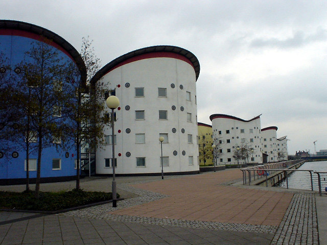
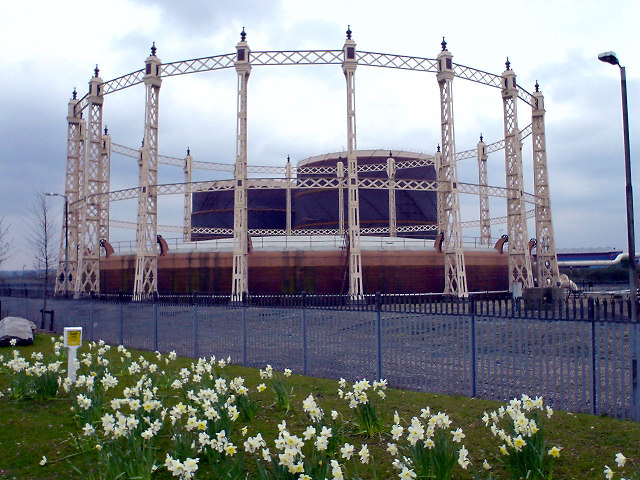
Beckton is a suburban town located in the borough of Newham, in the county of Essex, England. Situated in the east of London, it is approximately 8 miles east of Charing Cross. Historically, Beckton was mainly an industrial area, home to gasworks and factories. However, in recent years, it has undergone significant regeneration, transforming into a modern and diverse residential area.
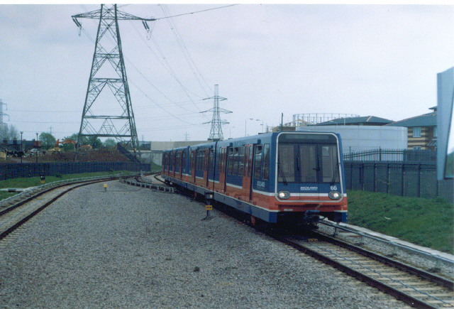
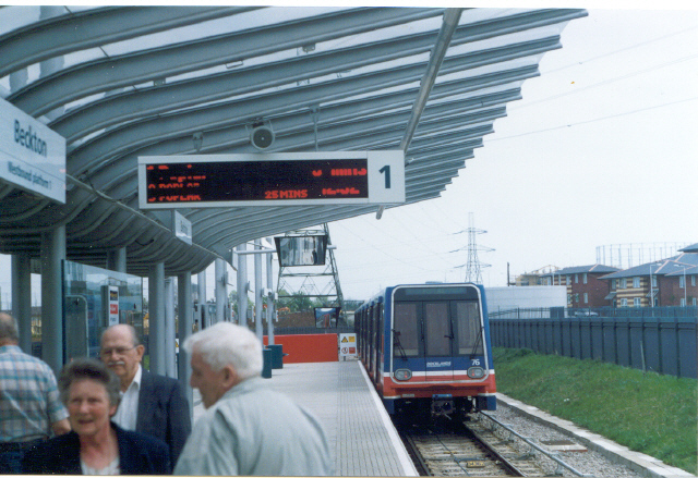
The town is well-connected to the rest of London through various transport links. Beckton is served by the Docklands Light Railway (DLR) and has two stations: Beckton Park and Beckton. These provide easy access to central London, Canary Wharf, and London City Airport. Additionally, the A13 road runs through Beckton, connecting it to the M25 motorway and the wider road network.
Beckton offers a range of amenities and facilities for its residents. There are several shopping centers in the area, including Gallions Reach Shopping Park, which hosts a variety of popular retail brands. The town also boasts a number of green spaces, such as Beckton District Park and New Beckton Park, providing recreational opportunities and outdoor spaces for the community.
Education in Beckton is well-catered for, with several primary and secondary schools serving the local population. The University of East London also has a campus nearby, offering higher education opportunities for students.
Overall, Beckton is a vibrant and evolving town, combining its industrial heritage with modern developments and amenities, making it an attractive place to live and visit.
If you have any feedback on the listing, please let us know in the comments section below.
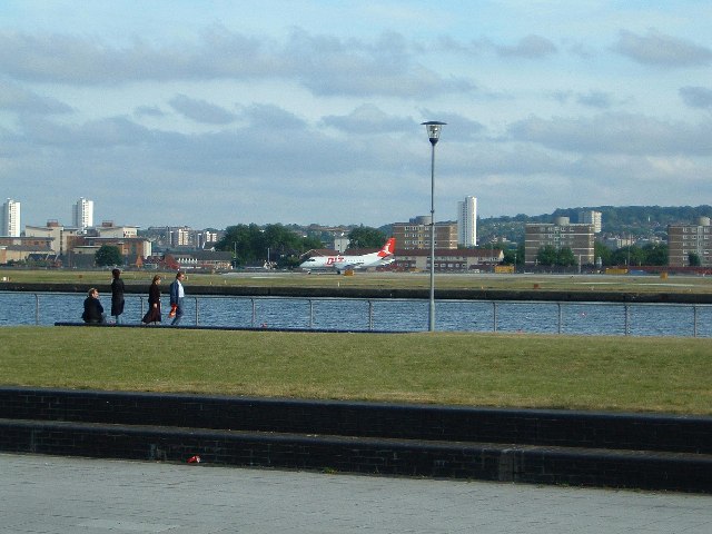
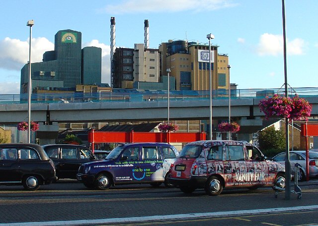
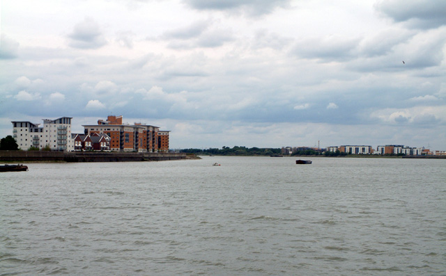
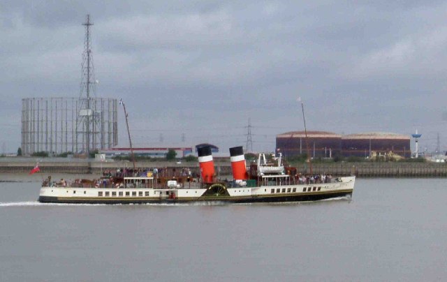
Beckton Images
Images are sourced within 2km of 51.511969/0.062956 or Grid Reference TQ4381. Thanks to Geograph Open Source API. All images are credited.


Beckton is located at Grid Ref: TQ4381 (Lat: 51.511969, Lng: 0.062956)
Unitary Authority: Newham
Police Authority: Metropolitan
What 3 Words
///drum.storm.humid. Near Woolwich, London
Nearby Locations
Related Wikis

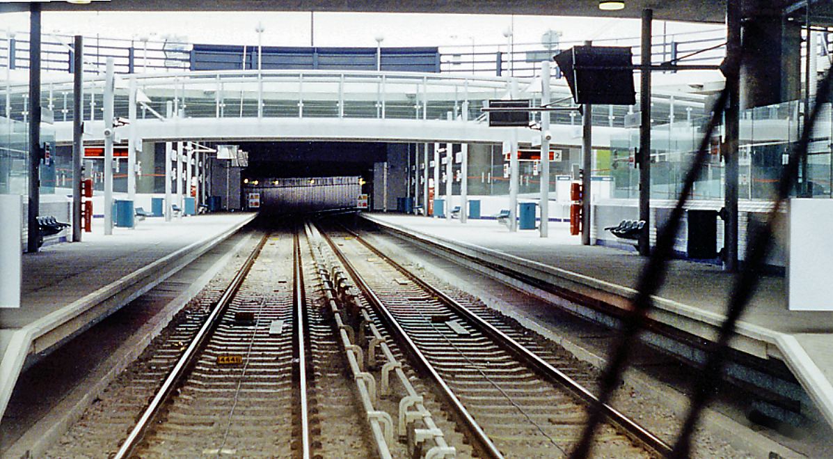
Beckton DLR station
Beckton is the eastern terminus of the Beckton branch of the Docklands Light Railway (DLR) in the Docklands area of east London. It is in Travelcard Zone...

Cyprus, London
Cyprus is an area of Beckton in the Docklands area of the London Borough of Newham. It is located west of Beckton proper and north of the eastern end of...
Cyprus DLR station
Cyprus is a station on the Docklands Light Railway (DLR) located in Cyprus, to the south of Beckton, in the Docklands area of Newham, east London. The...

Beckton
Beckton is a suburb in east London, England, located 8 miles (12.9 km) east of Charing Cross and part of the London Borough of Newham. Adjacent to the...
St Michael and All Angels Church, Beckton Road
St Michael and All Angels Church, Beckton Road, was a Church of England church in East Ham, east London. It opened as a mission of St Mary Magdalene's...
Centre on Human Rights in Conflict
The Centre on Human Rights in Conflict (CHRC) is a research centre based within the University of East London School of Law directed by John Strawson....
School of Law and Social Sciences, University of East London
The School of Law and Social Sciences is one of eight academic schools at the University of East London in East London, England. The School teaches six...
University of East London
University of East London (UEL) is a public university located in the London Borough of Newham, London, England, based at three campuses in Stratford and...
Nearby Amenities
Located within 500m of 51.511969,0.062956Have you been to Beckton?
Leave your review of Beckton below (or comments, questions and feedback).