Beckside

Settlement in Westmorland South Lakeland

England

Beckside

High Road near Middleton Hall High in the sense of being a bit further up the hillside than the main road near the river, rather than any sense of importance.
High Road near Middleton Hall Credit: Stephen Craven

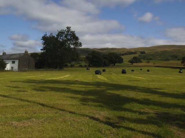
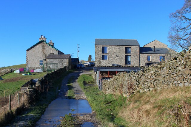
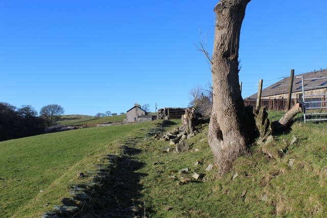
Beckside is a charming village situated in the county of Westmorland, in the northwestern region of England. Nestled amidst the picturesque landscape of the Lake District National Park, this idyllic settlement is renowned for its natural beauty and tranquil atmosphere.

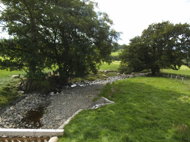
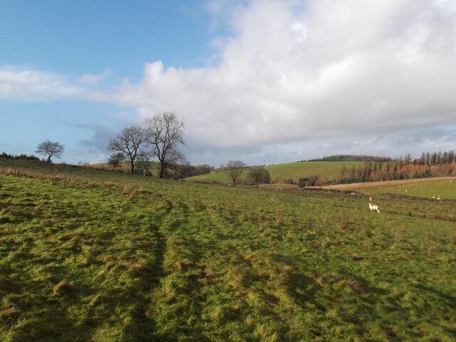
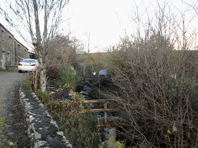
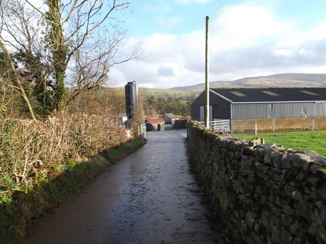
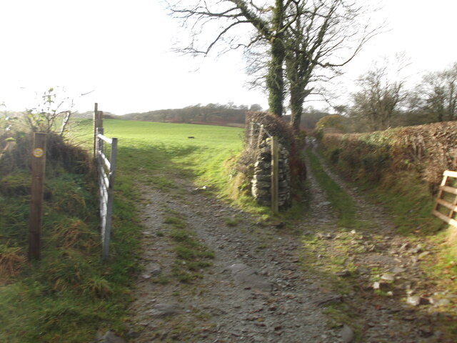
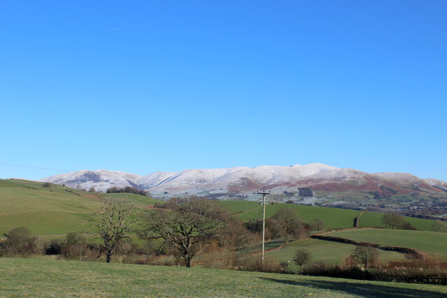
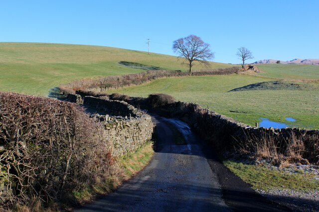
The village is located on the banks of the River Beck, which meanders through the heart of the community, lending it its name. Surrounded by rolling hills and verdant meadows, Beckside offers breathtaking views of the surrounding countryside, making it a popular destination for nature enthusiasts and hikers.

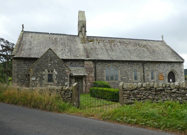
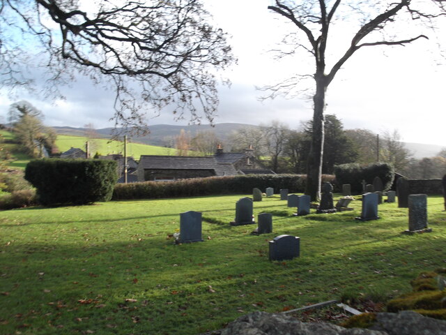
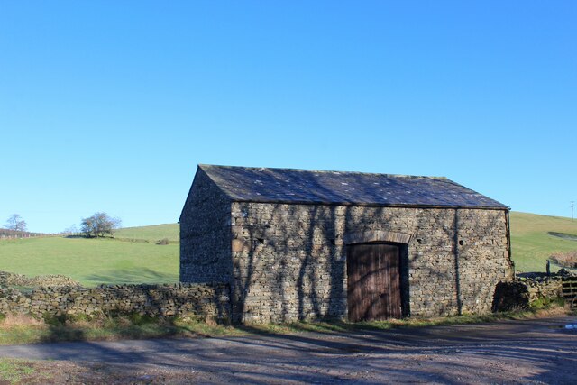
Despite its relatively small size, Beckside boasts a tight-knit community that takes pride in preserving its rural heritage. The village is dotted with charming stone cottages and traditional farmhouses, which add to its quaint and inviting character. The local church, St. Mary's, stands as a testament to the area's historical significance and is a notable landmark within the village.

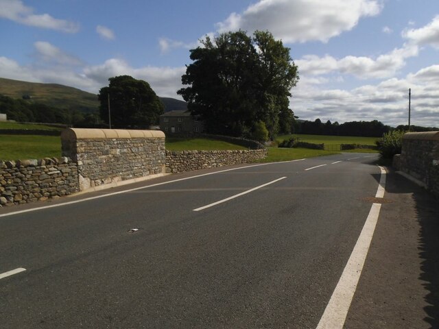
While Beckside retains a sense of tranquility and seclusion, it is not remote from modern amenities. The nearby town of Kendal provides residents with access to a range of services, including schools, shops, and healthcare facilities. Additionally, the village is well-connected by road and public transportation, facilitating easy travel to neighboring towns and cities.

Beckside offers a peaceful retreat for those seeking a slower pace of life and a deep appreciation for nature's splendor. Its harmonious blend of stunning landscapes, historic architecture, and a warm community make it a truly enchanting place to visit or reside in Westmorland.

If you have any feedback on the listing, please let us know in the comments section below.
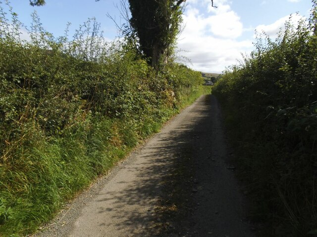
Beckside Images

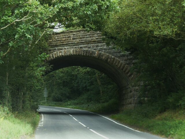
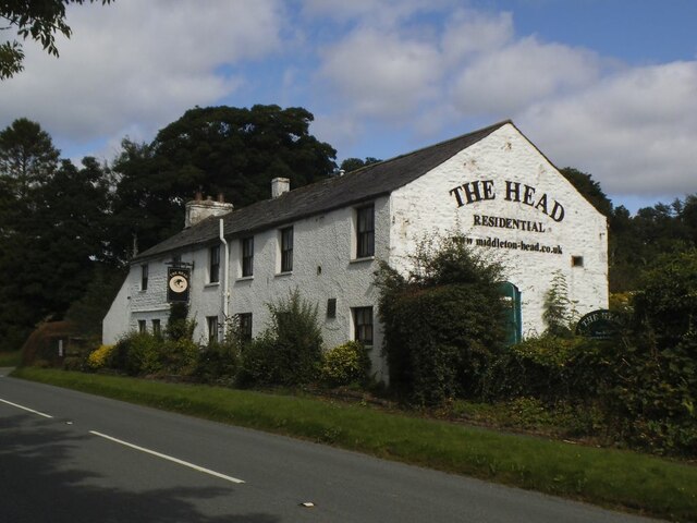
Images are sourced within 2km of 54.285476/-2.589824 or Grid Reference SD6187. Thanks to Geograph Open Source API. All images are credited.

High Road near Middleton Hall High in the sense of being a bit further up the hillside than the main road near the river, rather than any sense of importance.
High Road near Middleton Hall
High in the sense of being a bit further up the hillside than the main road near the river, rather than any sense of importance.
Bales at High Green Probably bales of haylage.
Bales at High Green
Probably bales of haylage.
The rebuilt Middleton Hall Bridge The bridge carries the A683 over what is normally a minor beck <a href="https://www.geograph.org.uk/photo/6814291">SD6287 : The Middleton Hall Beck</a>.  But it was damaged by 'Storm Desmond' in December 2015 and after a few years of a temporary bridge, this permanent replacement opened on 2 August 2019.  It cost £550,000 and is constructed from pre-cast concrete, with rock armour on the bank of the stream  to protect the bridge from future scouring. Source: <span class="nowrap"><a title="https://news.cumbria.gov.uk/News/2019/middletonhallbridgereplacementsettoopen.aspx" rel="nofollow ugc noopener" href="https://news.cumbria.gov.uk/News/2019/middletonhallbridgereplacementsettoopen.aspx">Link</a><img style="margin-left:2px;" alt="External link" title="External link - shift click to open in new window" src="https://s1.geograph.org.uk/img/external.png" width="10" height="10"/></span>
The rebuilt Middleton Hall Bridge
The bridge carries the A683 over what is normally a minor beck SD6287 : The Middleton Hall Beck. But it was damaged by 'Storm Desmond' in December 2015 and after a few years of a temporary bridge, this permanent replacement opened on 2 August 2019. It cost £550,000 and is constructed from pre-cast concrete, with rock armour on the bank of the stream to protect the bridge from future scouring. Source: LinkExternal link
Middleton Hall Beck Normally a minor beck but as flash flood in 'Storm Desmond' in December 2015 was enough to destroy the road bridge which has since been rebuilt <a href="https://www.geograph.org.uk/photo/6983156">SD6287 : The rebuilt Middleton Hall Bridge</a>.
Middleton Hall Beck
Normally a minor beck but as flash flood in 'Storm Desmond' in December 2015 was enough to destroy the road bridge which has since been rebuilt SD6287 : The rebuilt Middleton Hall Bridge.
Former railway bridge over the A683 at Middleton The railway was the LMS route one between the 'Little North Western' line at Clapham and their main line to Scotland at Lowgill, via Ingleton. There was a station at Middleton a few hundred metres to the north (left) of this bridge. It last saw regular trains in 1954 and the track was lifted in 1967.  <a href="https://www.geograph.org.uk/photo/6375988">SD6288 : Ex-LNWR Railway Bridge</a> is a view from the other side the previous year.
Former railway bridge over the A683 at Middleton
The railway was the LMS route one between the 'Little North Western' line at Clapham and their main line to Scotland at Lowgill, via Ingleton. There was a station at Middleton a few hundred metres to the north (left) of this bridge. It last saw regular trains in 1954 and the track was lifted in 1967. SD6288 : Ex-LNWR Railway Bridge is a view from the other side the previous year.
The Middleton Head A pub on the A683 south of Sedbergh. Named as the Railway Tavern, a 'beer house', on the 1899 map.  There was a railway station nearby on the Ingleton and Tebay line until passenger services ceased in 1931, but the fact that the tavern was several hundred metres away suggests it pre-dates the opening of the railway in 1861.
The Middleton Head
A pub on the A683 south of Sedbergh. Named as the Railway Tavern, a 'beer house', on the 1899 map. There was a railway station nearby on the Ingleton and Tebay line until passenger services ceased in 1931, but the fact that the tavern was several hundred metres away suggests it pre-dates the opening of the railway in 1861.
Church of the Holy Ghost, Middleton
Field path near Killington
Cemetery, Killington
The footpath goes this way...I think!
Entrance to farm at Hallbeck A cul-de-sac path unless you want to wade across the Lune!
Entrance to farm at Hallbeck
A cul-de-sac path unless you want to wade across the Lune!
Choice of paths The public footpath actually goes off to the left!
Choice of paths
The public footpath actually goes off to the left!
Aikrigg Farm and other ancillary buildings located above Burns Beck near Killington
Aikrigg
Farm and other ancillary buildings located above Burns Beck near Killington
Stone Barn on the Access Road to Aikrigg
View towards the Howgill Fells from Aikrigg
Access Road to Aikrigg Part of the no through road terminating at Aikrigg from Old Scotch Road
Access Road to Aikrigg
Part of the no through road terminating at Aikrigg from Old Scotch Road
Bridleway heading towards Beckside Section of bridleway between Beckside and Aikrigg
Bridleway heading towards Beckside
Section of bridleway between Beckside and Aikrigg
Bridleway heading towards Aikrigg
Show me another place!

Beckside is located at Grid Ref: SD6187 (Lat: 54.285476, Lng: -2.589824)

Administrative County: Cumbria

District: South Lakeland

Police Authority: Cumbria

What 3 Words

///dabble.system.anchorman. Near Sedbergh, Cumbria

Related Wikis

Beckside

Beckside is a village in Cumbria, England.

Killington, Cumbria

Killington is a village and civil parish in the South Lakeland district of the county of Cumbria, England. It had a population of 152 in 2001, At the...

Middleton-on-Lune railway station

Middleton-on-Lune railway station was located in Westmorland, England, (now in Cumbria), serving the hamlet and rural locale of Middleton on the Ingleton...

River Rawthey

The River Rawthey is a river in Cumbria in northwest England. The headwaters of the Rawthey are at Rawthey Gill Foot, where Rawthey Gill meets Haskhaw...

Middleton, Cumbria

Middleton is a village and a civil parish on the A683 road, in the South Lakeland district, in the county of Cumbria, England. Middleton has a church called...

Brigflatts Meeting House

Brigflatts Meeting House or Briggflatts Meeting House is a Friends Meeting House of the Religious Society of Friends (Quakers), near Sedbergh, Cumbria...

Brunthwaite

Brunthwaite is a hamlet in Cumbria, England. Medieval pottery has been unearthed in the area. == References ==

Killington Lake Services

Killington Lake Services is a motorway service station on the M6 motorway between Junctions 37 and 36 near Killington Lake in Cumbria, England. It was...

Nearby Amenities

Located within 500m of 54.285476,-2.589824
Greaves Wood
Natural: wood
Lat/Long: 54.2859971/-2.5972281
Noexit: yes
Lat/Long: 54.285903/-2.5893846
Noexit: yes
Lat/Long: 54.2866551/-2.5894346
Power: pole
Lat/Long: 54.2887662/-2.5866242
Power: pole
Lat/Long: 54.2882328/-2.5869267
Power: pole
Lat/Long: 54.2874799/-2.5873949
Power: pole
Lat/Long: 54.2868605/-2.5877854
Power: pole
Lat/Long: 54.2861254/-2.5882228
Power: pole
Lat/Long: 54.2854989/-2.5886113
Power: pole
Lat/Long: 54.284808/-2.5890487
Power: pole
Lat/Long: 54.2841242/-2.5895005
Power: pole
Lat/Long: 54.2832076/-2.5895987
Power: pole
Lat/Long: 54.2823042/-2.5897172
Power: pole
Lat/Long: 54.2810916/-2.5899155
Power: pole
Lat/Long: 54.2861219/-2.5893002
The data included in this document is from www.openstreetmap.org. The data is made available under ODbL.

Have you been to Beckside?

Leave your review of Beckside below (or comments, questions and feedback).