Lower Wolverton

Settlement in Worcestershire Wychavon

England

Lower Wolverton

Gate and farmland near Breach Farm
Gate and farmland near Breach Farm Credit: Steve Fareham

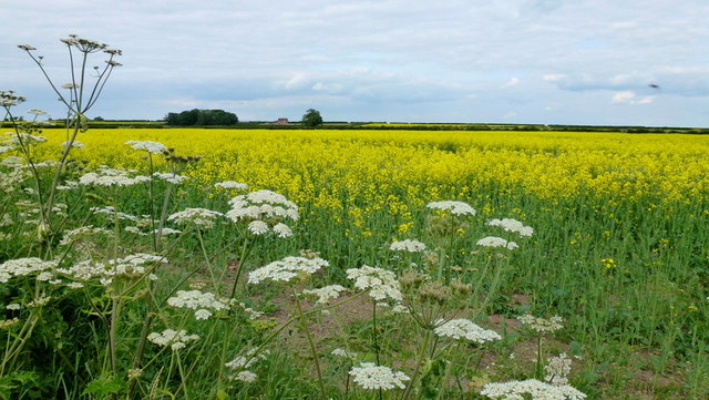
Lower Wolverton is a small village located in the county of Worcestershire, England. Situated in the West Midlands region, it is part of the Malvern Hills District and falls within the civil parish of Powick. The village is nestled in a picturesque rural setting, surrounded by rolling hills and meadows.

The village is primarily residential, with a population of around 300 residents. It consists of a cluster of quaint cottages and houses, some of which date back several centuries, adding a historical charm to the area. The architecture reflects the traditional English countryside style, showcasing timber-framed buildings and thatched roofs.

Lower Wolverton enjoys a peaceful and tranquil atmosphere, making it an ideal location for those seeking a quiet and idyllic lifestyle. The village is well-connected, with easy access to the nearby towns of Worcester and Malvern. It is also conveniently located near major road networks, including the A449 and the M5 motorway.

The community spirit in Lower Wolverton is strong, with various social events and activities organized throughout the year. The village boasts a local pub, which serves as a hub for residents to gather and socialize. Additionally, there are several footpaths and trails in the surrounding countryside, offering opportunities for outdoor pursuits such as walking, cycling, and exploring nature.

Overall, Lower Wolverton offers a charming and peaceful village lifestyle, combined with easy access to amenities and nearby towns. It is a place where residents can enjoy the beauty of the Worcestershire countryside while still being within reach of urban conveniences.

If you have any feedback on the listing, please let us know in the comments section below.

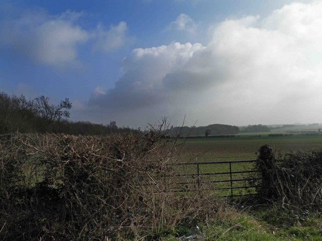
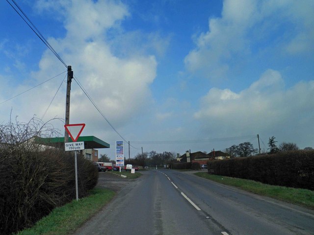
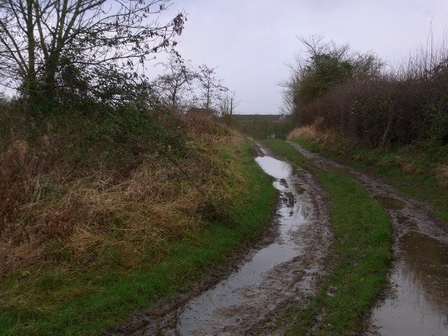
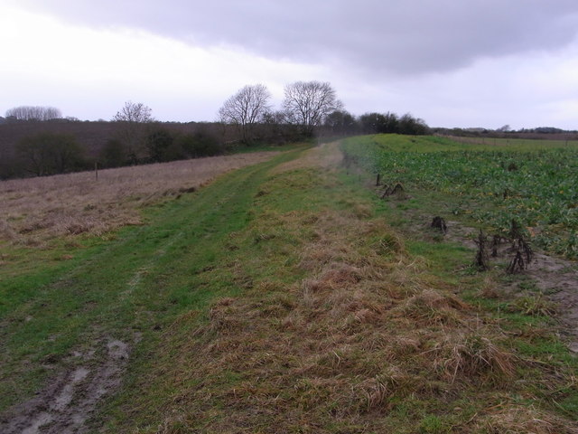
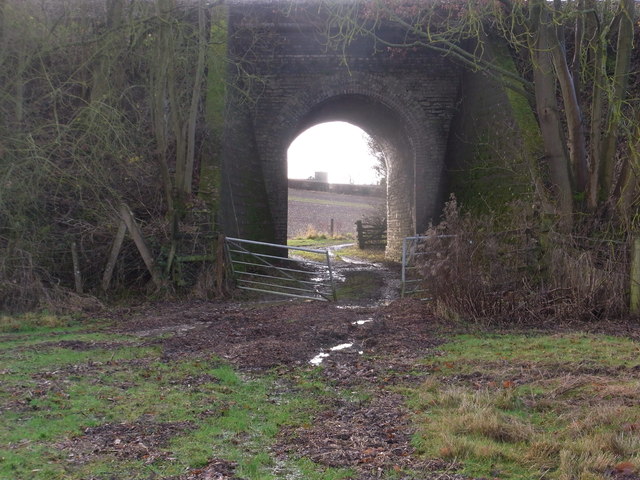
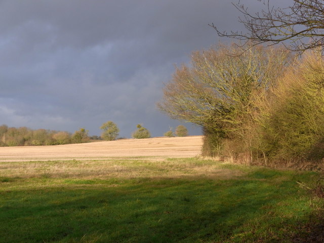
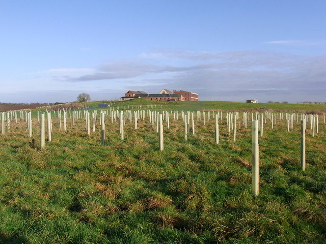
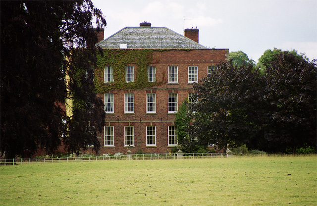
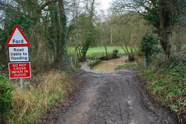
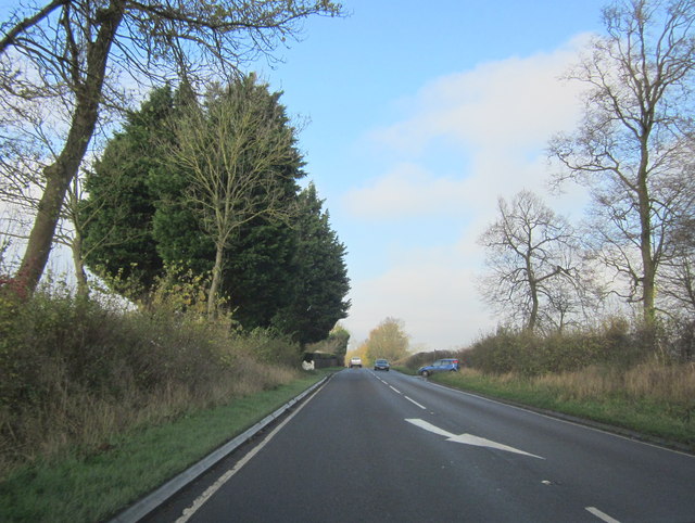
Lower Wolverton Images

Images are sourced within 2km of 52.153259/-2.112222 or Grid Reference SO9250. Thanks to Geograph Open Source API. All images are credited.

Gate and farmland near Breach Farm
Give way sign and Egdon garage The garage specialises in 4x4's.
Give way sign and Egdon garage
The garage specialises in 4x4's.
Bridleway from Upper Wolverton Farm
Track between fields is a footpath Game-cover crop on the right.
Track between fields is a footpath
Game-cover crop on the right.
Through the railway bridge arch In the far distance, the tower of Stoulton church is visible.
Through the railway bridge arch
In the far distance, the tower of Stoulton church is visible.
Recent repairs to the railway bridge abutments Continuous, if slow, settlement in the area has resulted in many repairs being necessary. The horizontal markers are there to monitor any further movement. These are dated 17 and 18/12/12. Previous markers are still seen, some broken on the ground.
Recent repairs to the railway bridge abutments
Continuous, if slow, settlement in the area has resulted in many repairs being necessary. The horizontal markers are there to monitor any further movement. These are dated 17 and 18/12/12. Previous markers are still seen, some broken on the ground.
Field north of the footbridge Dramatic winter scene with low sun.
Field north of the footbridge
Dramatic winter scene with low sun.
Mucknell Abbey seen from the footpath The derelict Mucknell Farm was demolished and this Benedictine monastery has been built on the site. Completed in 2010. The whole development is eco-sound for fuel and energy and produces most of the food required. See the official website (<span class="nowrap"><a title="www.mucknellabbey.org.uk" rel="nofollow ugc noopener" href="http://www.mucknellabbey.org.uk">Link</a><img style="margin-left:2px;" alt="External link" title="External link - shift click to open in new window" src="https://s1.geograph.org.uk/img/external.png" width="10" height="10"/></span> ) for details.
Mucknell Abbey seen from the footpath
The derelict Mucknell Farm was demolished and this Benedictine monastery has been built on the site. Completed in 2010. The whole development is eco-sound for fuel and energy and produces most of the food required. See the official website (LinkExternal link ) for details.
Wolverton Hall, Peopleton A tall and quite severe early C18th house. Grade II* listed.
Wolverton Hall, Peopleton
A tall and quite severe early C18th house. Grade II* listed.
Rape crop and hedge parsley Plus a distant view towards Springfield farm.
Rape crop and hedge parsley
Plus a distant view towards Springfield farm.
Mucknell Abbey Chapel Interior of the new Chapel at Mucknell
Mucknell Abbey Chapel
Interior of the new Chapel at Mucknell
Chapel exterior Dedicated in the Presence of the Archbishop of Canterbury
Chapel exterior
Dedicated in the Presence of the Archbishop of Canterbury
Commemoration stone Marking the occasion
Commemoration stone
Marking the occasion
Peopleton Ford This ford on the Bow Brook is found along a byway at Barrel Bridge near Peopleton.
Peopleton Ford
This ford on the Bow Brook is found along a byway at Barrel Bridge near Peopleton.
Paths onto pasture land Feeding a network of public paths around White Ladies Aston.
Paths onto pasture land
Feeding a network of public paths around White Ladies Aston.
Old agricultural equipment Rotting slowly just beyond the kissing gate in <a href="https://www.geograph.org.uk/photo/3886525">SO9251 : Paths onto pasture land</a>.
Old agricultural equipment
Rotting slowly just beyond the kissing gate in SO9251 : Paths onto pasture land.
Road to Aston Hall and Aston Hall Farm Looking south.
Road to Aston Hall and Aston Hall Farm
Looking south.
A44 Near Green Gate
A44 Near Green Gate
Show me another place!

Lower Wolverton is located at Grid Ref: SO9250 (Lat: 52.153259, Lng: -2.112222)

Administrative County: Worcestershire

District: Wychavon

Police Authority: West Mercia

What 3 Words

///unsecured.professed.flame. Near Pershore, Worcestershire

Related Wikis

Egdon

Egdon is a hamlet located in the county of Worcestershire and falls with the civil parish of Stoulton.

Stoulton railway station

Stoulton railway station was a station to the northwest of Drakes Broughton, Worcestershire, England. The station was opened in 1899 and closed in 1966...

Bowbrook House School

Bowbrook House School is a mixed independent school for around 200 pupils aged 3 to 16 with around 30 teaching staff. It is located in a Georgian mansion...

Peopleton

Peopleton is a village and civil parish in the Wychavon district of Worcestershire, England. In 2001 the parish had a population of 640, with 245 households...

Nearby Amenities

Located within 500m of 52.153259,-2.112222
Barrier: stile
Foot: yes
Lat/Long: 52.1542267/-2.1103139
Barrier: stile
Foot: yes
Lat/Long: 52.1541204/-2.1070687
Power: pole
Lat/Long: 52.153787/-2.1101588
Power: pole
Lat/Long: 52.1537455/-2.1113537
Green Gate
Power: pole
Transformer: distribution
Voltage Primary: 11000
Lat/Long: 52.1537054/-2.1124716
Power: pole
Lat/Long: 52.1537984/-2.1084738
Power: pole
Lat/Long: 52.1538148/-2.1068685
Lower Wolverton Farm
Power: pole
Transformer: distribution
Voltage Primary: 11000
Lat/Long: 52.1537186/-2.1059954
Power: pole
Lat/Long: 52.1530875/-2.105754
Power: pole
Lat/Long: 52.1525427/-2.1055394
The data included in this document is from www.openstreetmap.org. The data is made available under ODbL.

Have you been to Lower Wolverton?

Leave your review of Lower Wolverton below (or comments, questions and feedback).