Home Covert
Wood, Forest in Worcestershire Wychavon
England
Home Covert
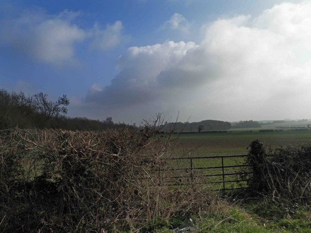
Home Covert is a picturesque woodland located in Worcestershire, England. Situated in the heart of the county, it is surrounded by the natural beauty of the Worcestershire countryside. The woodland is known for its dense and diverse forest cover, making it a popular destination for nature enthusiasts and hikers.
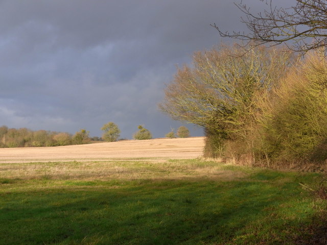
Covering an area of approximately 100 acres, Home Covert is home to a wide variety of flora and fauna. The woodland boasts a rich ecosystem, with ancient oak and beech trees dominating the landscape. These towering trees provide shelter and nesting sites for numerous bird species, including woodpeckers, owls, and several species of warblers.
The forest floor is adorned with a vibrant carpet of wildflowers, ferns, and mosses. It is not uncommon to spot deer, foxes, and other woodland creatures while wandering through the covert. The peaceful atmosphere and tranquil surroundings create a perfect habitat for these animals.
Alongside its natural beauty, Home Covert also offers recreational facilities for visitors. There are well-maintained walking trails that wind through the woodland, allowing visitors to explore and immerse themselves in the tranquility of the surrounding nature. The area is also equipped with picnic spots, benches, and information boards that provide insight into the local wildlife and flora.
Overall, Home Covert is a haven of biodiversity and a cherished natural gem in Worcestershire. Its stunning woodland scenery, diverse wildlife, and accessibility make it an ideal destination for those seeking a peaceful retreat or a chance to connect with nature.
If you have any feedback on the listing, please let us know in the comments section below.
Home Covert Images
Images are sourced within 2km of 52.150882/-2.1058131 or Grid Reference SO9250. Thanks to Geograph Open Source API. All images are credited.


Home Covert is located at Grid Ref: SO9250 (Lat: 52.150882, Lng: -2.1058131)
Administrative County: Worcestershire
District: Wychavon
Police Authority: West Mercia
What 3 Words
///stance.mega.indicate. Near Pershore, Worcestershire
Nearby Locations
Related Wikis

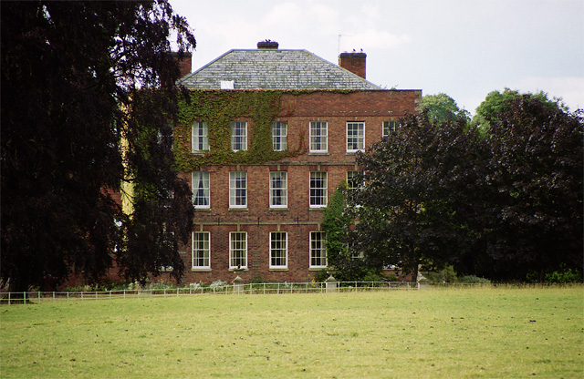
Bowbrook House School
Bowbrook House School is a mixed independent school for around 200 pupils aged 3 to 16 with around 30 teaching staff. It is located in a Georgian mansion...

Peopleton
Peopleton is a village and civil parish in the Wychavon district of Worcestershire, England. In 2001 the parish had a population of 640, with 245 households...

Stoulton railway station
Stoulton railway station was a station to the northwest of Drakes Broughton, Worcestershire, England. The station was opened in 1899 and closed in 1966...
Egdon
Egdon is a hamlet located in the county of Worcestershire and falls with the civil parish of Stoulton.
Drakes Broughton
Drakes Broughton is a village in Worcestershire, England. The village is located on the B4084 road (previously the A44) 2 miles north-west of Pershore...

White Ladies Aston
White Ladies Aston is a village in the Wychavon local government district of Worcestershire, England, United Kingdom, and also lends its name to the civil...

Stoulton
Stoulton or Stoughton is a village and civil parish about 5 miles south west of Worcester, in the Wychavon district, in the county of Worcestershire, England...

Mucknell Abbey
Mucknell Abbey is an Anglican Benedictine monastery in Worcestershire, England. The community, which formerly lived at Burford, has both male and female...
Nearby Amenities
Located within 500m of 52.150882,-2.1058131Have you been to Home Covert?
Leave your review of Home Covert below (or comments, questions and feedback).