Beckley
Settlement in Hampshire New Forest
England
Beckley
Beckley is a small village located in the county of Hampshire, England. Situated approximately 6 miles northeast of the city of Winchester, it falls within the district of East Hampshire. With a population of around 800 people, Beckley is a tight-knit community that offers a peaceful and rural living environment.
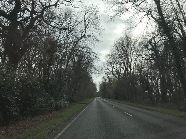
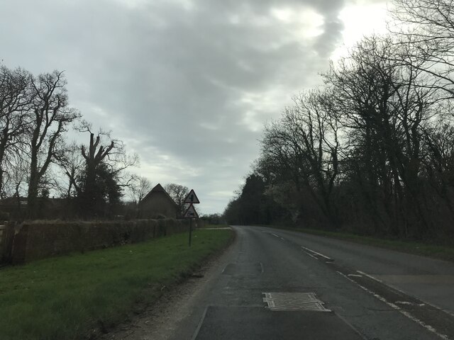
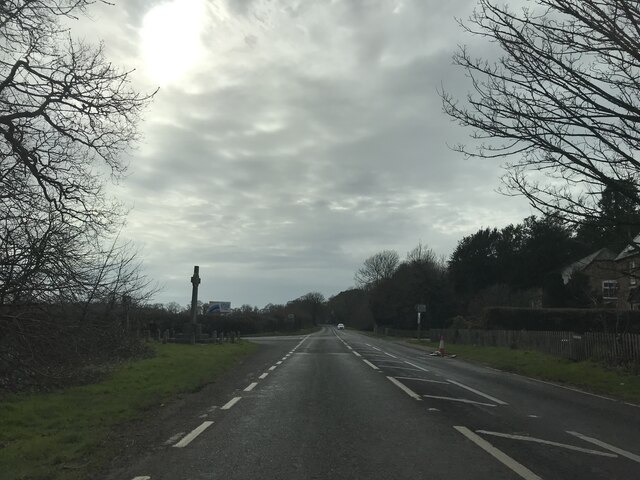
The village is surrounded by picturesque countryside, featuring rolling hills and lush green fields, making it an ideal location for nature lovers and outdoor enthusiasts. It is also within close proximity to the South Downs National Park, providing residents with ample opportunities for hiking, cycling, and exploring the beautiful landscapes.
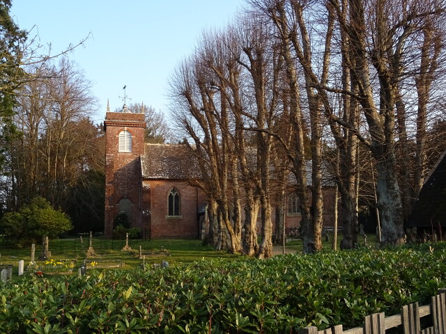
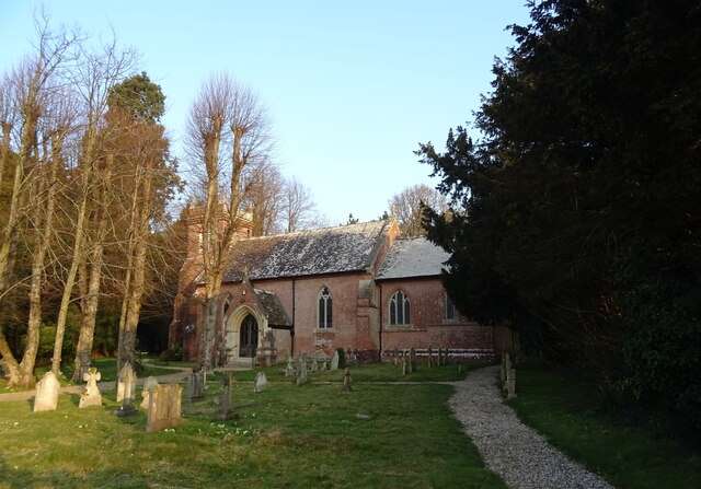
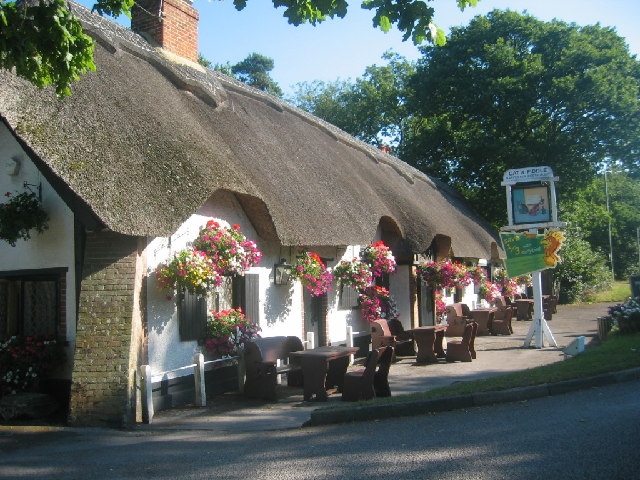
Beckley is known for its historical charm, with several traditional thatched cottages and historic buildings dotted throughout the village. The St. Leonard's church, dating back to the 12th century, is a prominent landmark in the area and holds regular services for the local community.
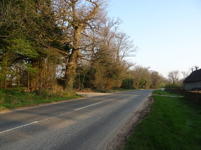
While Beckley is primarily a residential area, it is well-connected to nearby towns and cities. The A31 road runs through the village, providing convenient access to major transportation routes. The nearby city of Winchester offers a range of amenities, including shopping centers, restaurants, and cultural attractions.
Overall, Beckley offers a tranquil and idyllic setting for those seeking a peaceful countryside lifestyle, while still being within reach of urban amenities.
If you have any feedback on the listing, please let us know in the comments section below.
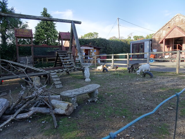
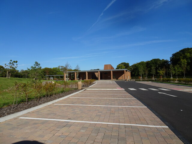
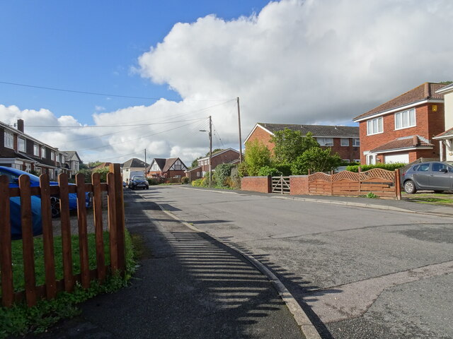
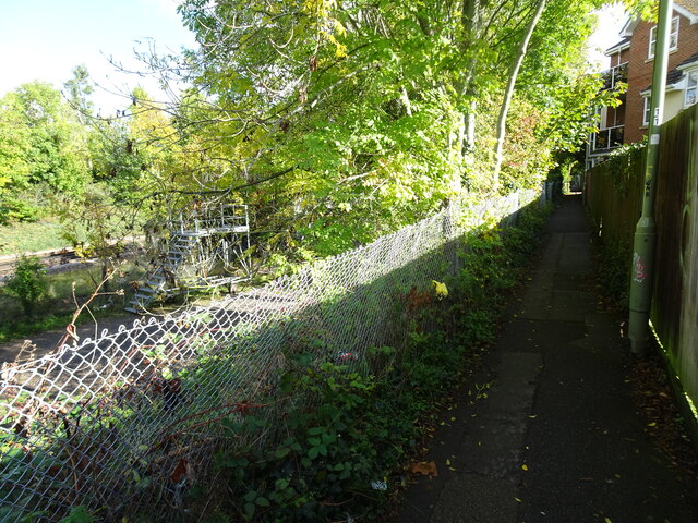
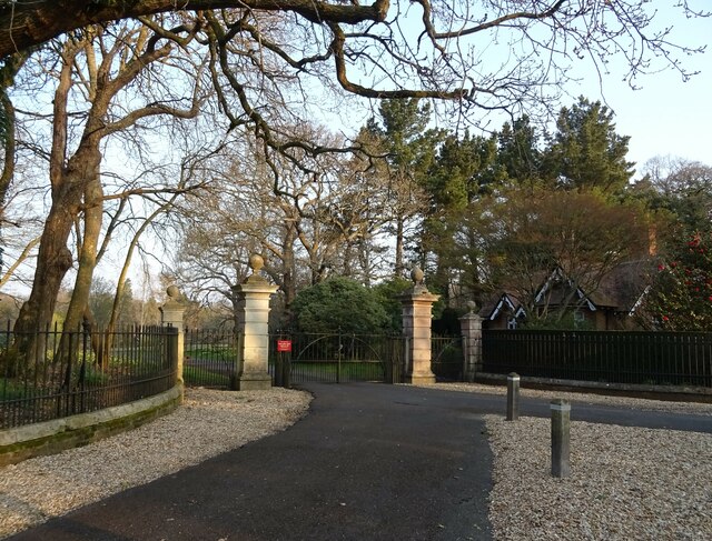
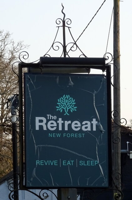
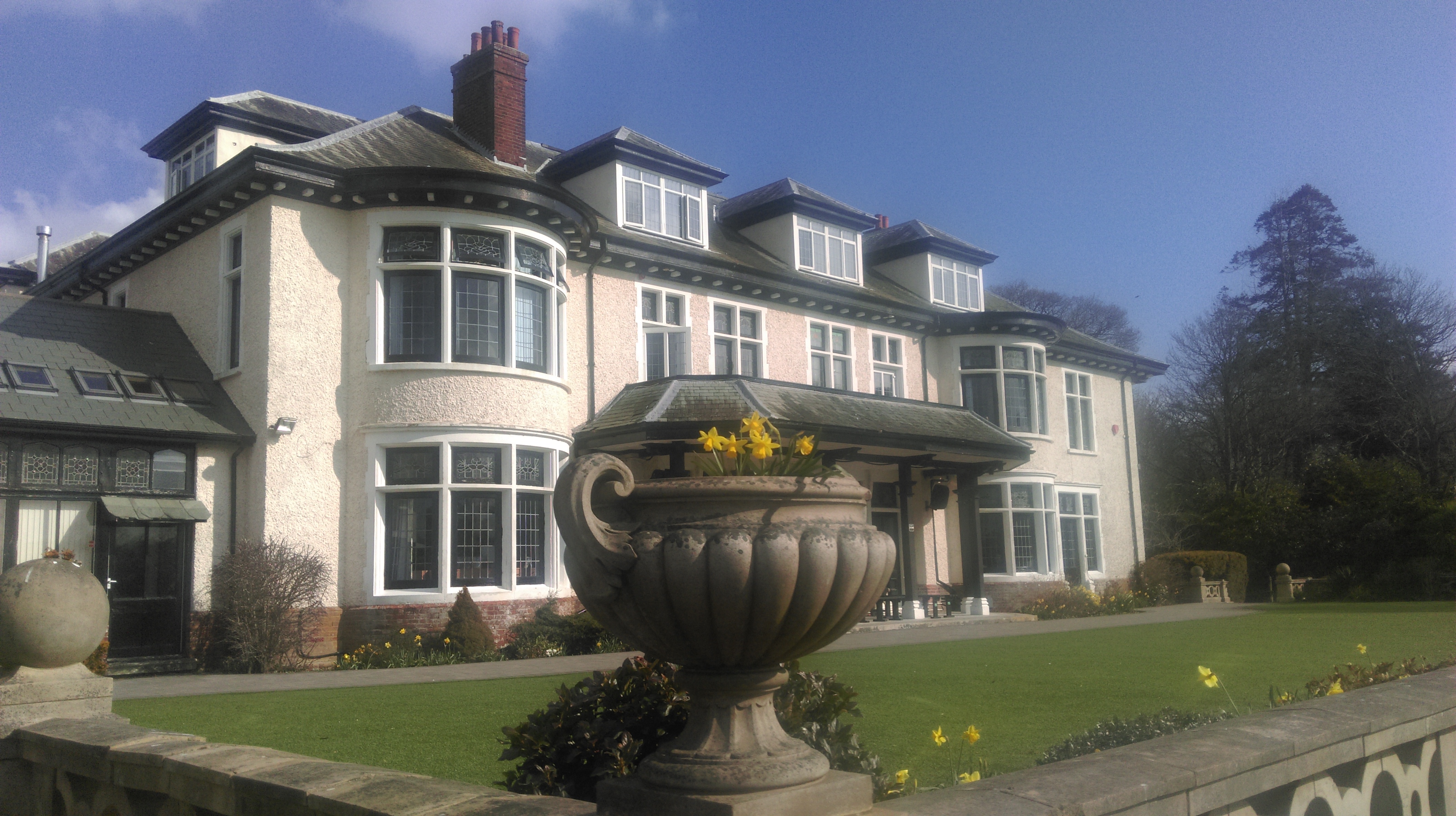
Beckley Images
Images are sourced within 2km of 50.766508/-1.681627 or Grid Reference SZ2296. Thanks to Geograph Open Source API. All images are credited.


Beckley is located at Grid Ref: SZ2296 (Lat: 50.766508, Lng: -1.681627)
Administrative County: Hampshire
District: New Forest
Police Authority: Hampshire
What 3 Words
///blotchy.impulse.trailer. Near New Milton, Hampshire
Nearby Locations
Related Wikis

Beckley, Hampshire
Beckley is a hamlet in Hampshire, England. It lies in the civil parish of Bransgore. Beckley is mentioned in the Domesday Book of 1086, when it was held...

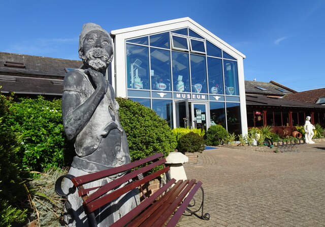
Sammy Miller Motorcycle Museum
The Sammy Miller Motorcycle Museum is an independent museum in New Milton, Hampshire, England. It was set up in 1964, after the former championship winning...

East Close House
East Close House in Hinton, Hampshire, near Christchurch, Dorset, is a building of historical significance and a grade II listed building on the English...
Hinton, Hampshire
Hinton is a dispersed settlement in the civil parish of Bransgore, in the English county of Hampshire. Hinton is centred on the main A35 road northeast...

Ossemsley
Ossemsley is an extended hamlet in the New Forest National Park of Hampshire, England. It lies close to the village of Bashley. The nearest town is New...

Bashley, Hampshire
Bashley is a chapelry in the New Forest (in the south west of Hampshire) England. It takes up the north of New Milton civil parish of a type having a town...
Ballard School (New Milton)
Ballard School is a private, private school located in New Milton, Hampshire, for children aged 2 to 16 years. The Headmaster is Andrew McCleave (since...

Bashley F.C.
Bashley Football Club is a football club based in Bashley, near New Milton, Hampshire, England. They are currently members of the Southern League Division...
Nearby Amenities
Located within 500m of 50.766508,-1.681627Have you been to Beckley?
Leave your review of Beckley below (or comments, questions and feedback).