Coire Domhain
Corrie (Glacial Valley) in Argyllshire
Scotland
Coire Domhain

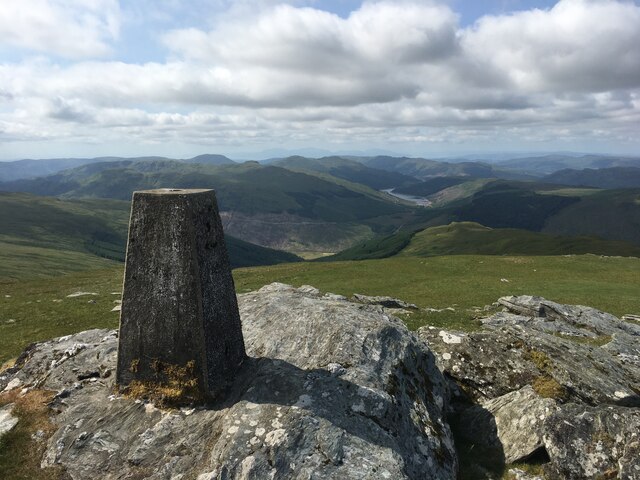
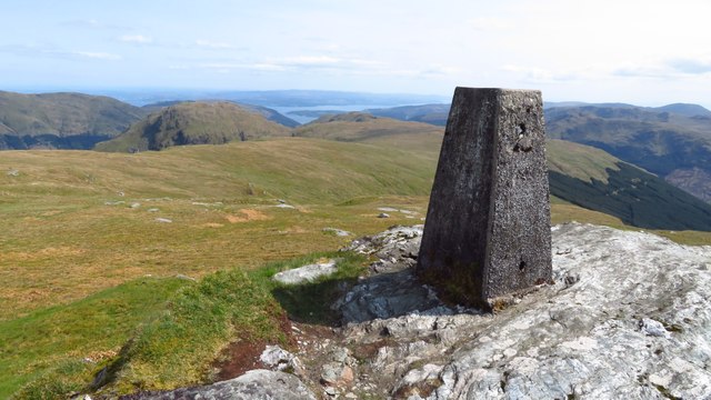
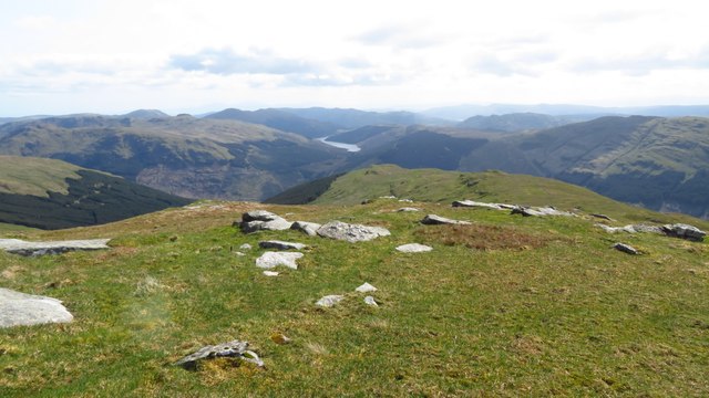
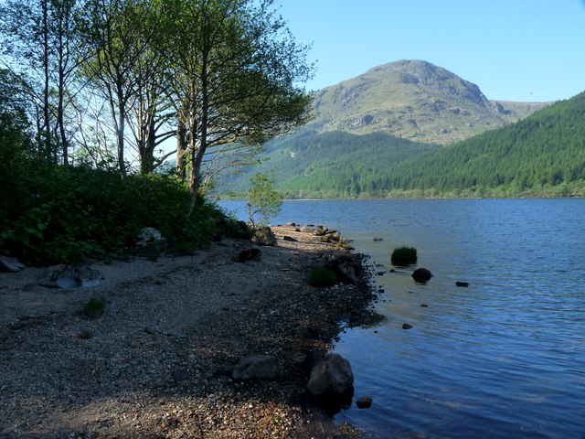
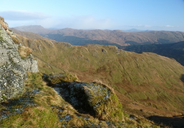
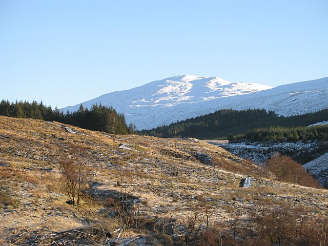
Coire Domhain, also known as Corrie, is a glacial valley located in Argyllshire, Scotland. Situated in the western part of the country, this breathtaking natural feature is a popular destination for hikers, nature enthusiasts, and photographers.
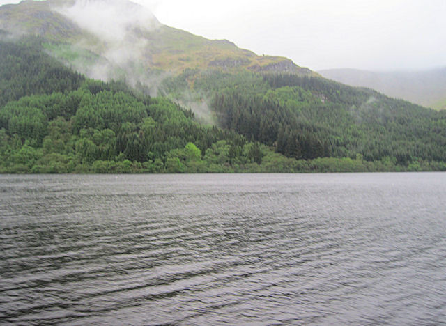
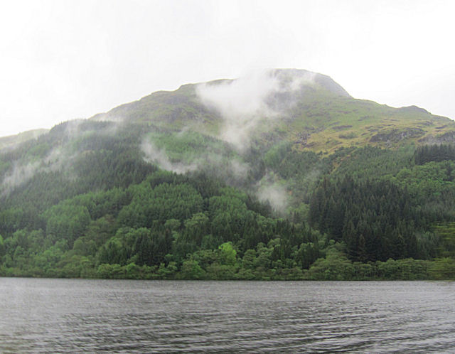
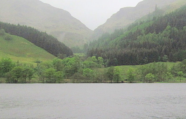
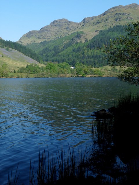
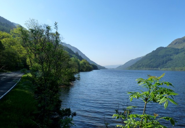
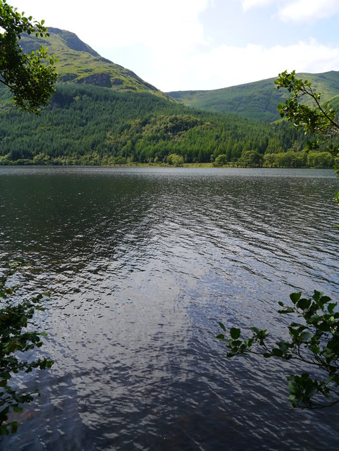
The valley is nestled within the stunning landscapes of the Scottish Highlands, offering visitors breathtaking views of rugged mountains, cascading waterfalls, and serene lochs. Coire Domhain is situated near the village of Corrie, which is known for its charming cottages and welcoming hospitality.
Coire Domhain was formed during the last Ice Age when glaciers carved out the valley, leaving behind steep walls and a U-shaped profile. The valley is surrounded by towering mountains, including Ben Ledi and Ben Vorlich, providing a dramatic backdrop.
The valley is home to a diverse range of flora and fauna, making it an appealing destination for nature lovers. Visitors can expect to encounter various bird species, such as golden eagles and peregrine falcons, as well as red deer and wild goats.
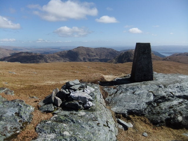
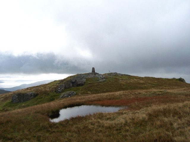
Hiking is a popular activity in Coire Domhain, with a variety of trails catering to different skill levels. The most adventurous can tackle the challenging ascent of Ben Ledi, while others may prefer a leisurely stroll along the valley floor, taking in the tranquil beauty of the surroundings.
Overall, Coire Domhain in Argyllshire is a must-visit destination for those seeking natural beauty and outdoor adventure. With its stunning landscapes, rich biodiversity, and opportunities for exploration, it offers a memorable experience for all who venture into its glacial embrace.
If you have any feedback on the listing, please let us know in the comments section below.
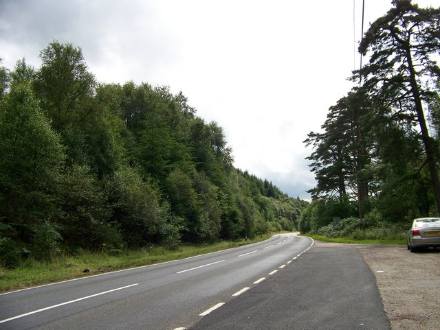
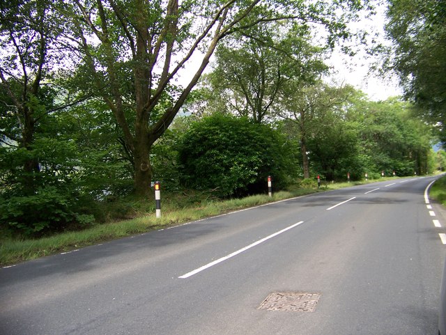
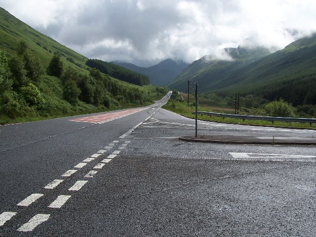
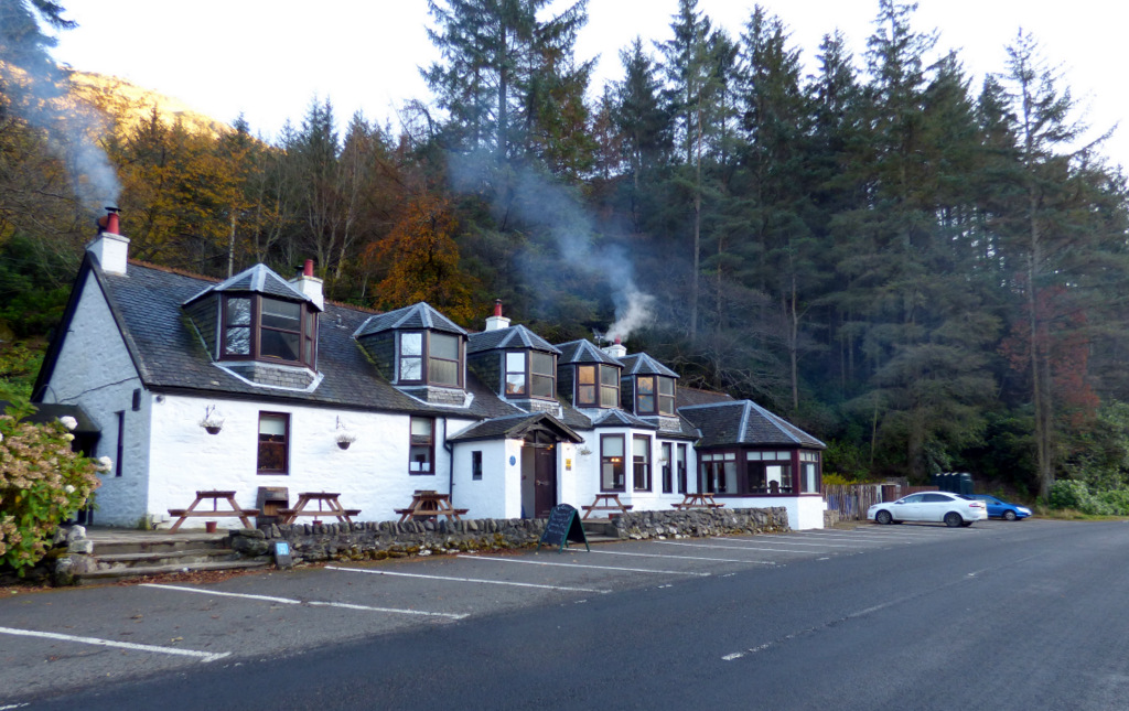
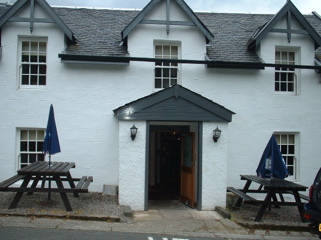
Coire Domhain Images
Images are sourced within 2km of 56.072025/-5.0143967 or Grid Reference NS1290. Thanks to Geograph Open Source API. All images are credited.


Coire Domhain is located at Grid Ref: NS1290 (Lat: 56.072025, Lng: -5.0143967)
Unitary Authority: Argyll and Bute
Police Authority: Argyll and West Dunbartonshire
What 3 Words
///flexibly.dispenser.exist. Near Sandbank, Argyll & Bute
Nearby Locations
Related Wikis

Loch Eck
Loch Eck (Gaelic: Loch Eich) is a freshwater loch located on the Cowal peninsula, north of Dunoon, Argyll and Bute, Scotland. It is seven miles (11 kilometres...

Beinn Mhòr (Cowal)
Beinn Mhòr is the highest mountain on the Cowal Peninsula west of Loch Eck in Argyll and Bute, Scotland. It has a high topographic prominence to height...
A815 road (Scotland)
The A815 is a major road located in Argyll and Bute, Scotland. It runs for about 37 miles (60 km) from the A83, near Cairndow, in the north to Toward...
Coylet
Coylet is a hamlet on Loch Eck, Cowal peninsula, Argyll and Bute, in West Scotland.The hamlet is within the Argyll Forest Park, which is itself within...
Whistlefield Inn
The Whistlefield Inn is a Category C listed building in Whistlefield, Argyll and Bute, Scotland, about twelve miles northwest of Dunoon. Built in 1663...

Whistlefield, Argyll
Whistlefield is a hamlet on the east shore of Loch Eck on the Cowal peninsula, Argyll and Bute, West of Scotland. It is home to the Category C listed building...
Creag Tharsuinn
Creag Tharsuinn (643 m) is a mountain in the Arrochar Alps of Scotland. It lies in the Cowal peninsula, Argyll and Bute. Taking the form of a long ridge...
Beinn Ruadh
Beinn Ruadh (664 m) is a mountain of Argyll and Bute in Scotland. Part of the Grampian Mountains, it lies between Loch Eck and Loch Long in Argyll Forest...
Have you been to Coire Domhain?
Leave your review of Coire Domhain below (or comments, questions and feedback).