Coire Làir
Corrie (Glacial Valley) in Ross-shire
Scotland
Coire Làir
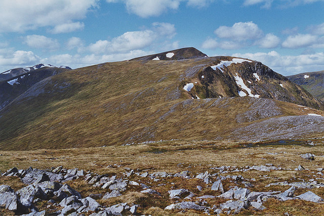
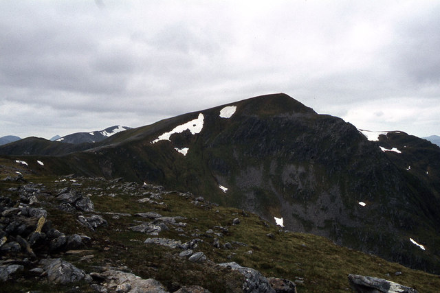
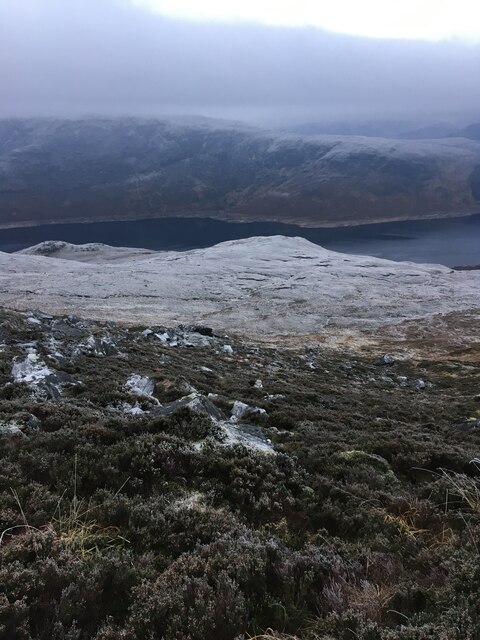
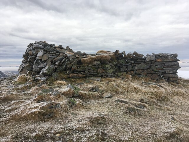
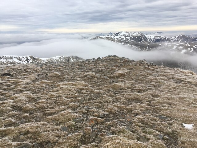
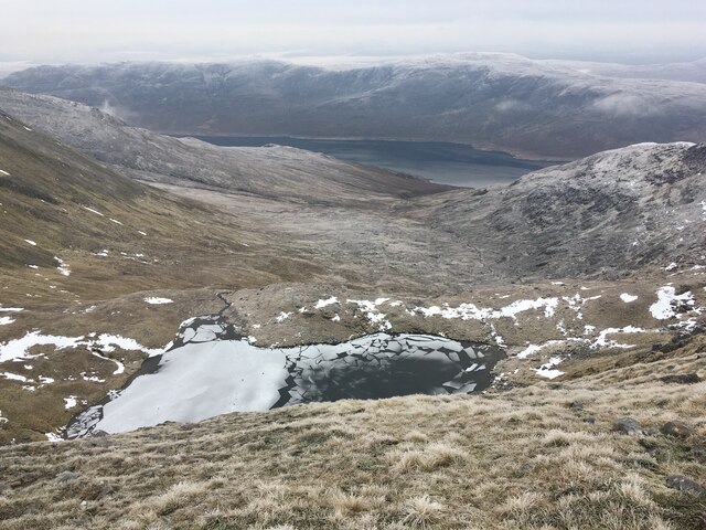
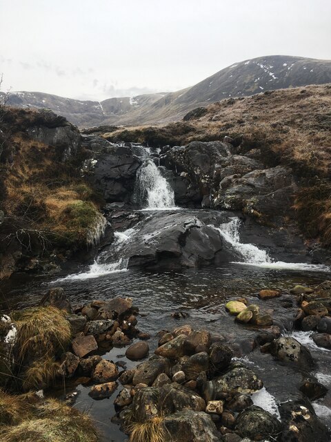
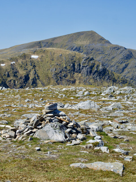
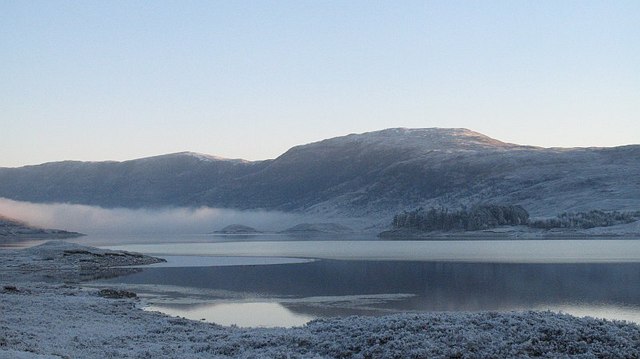
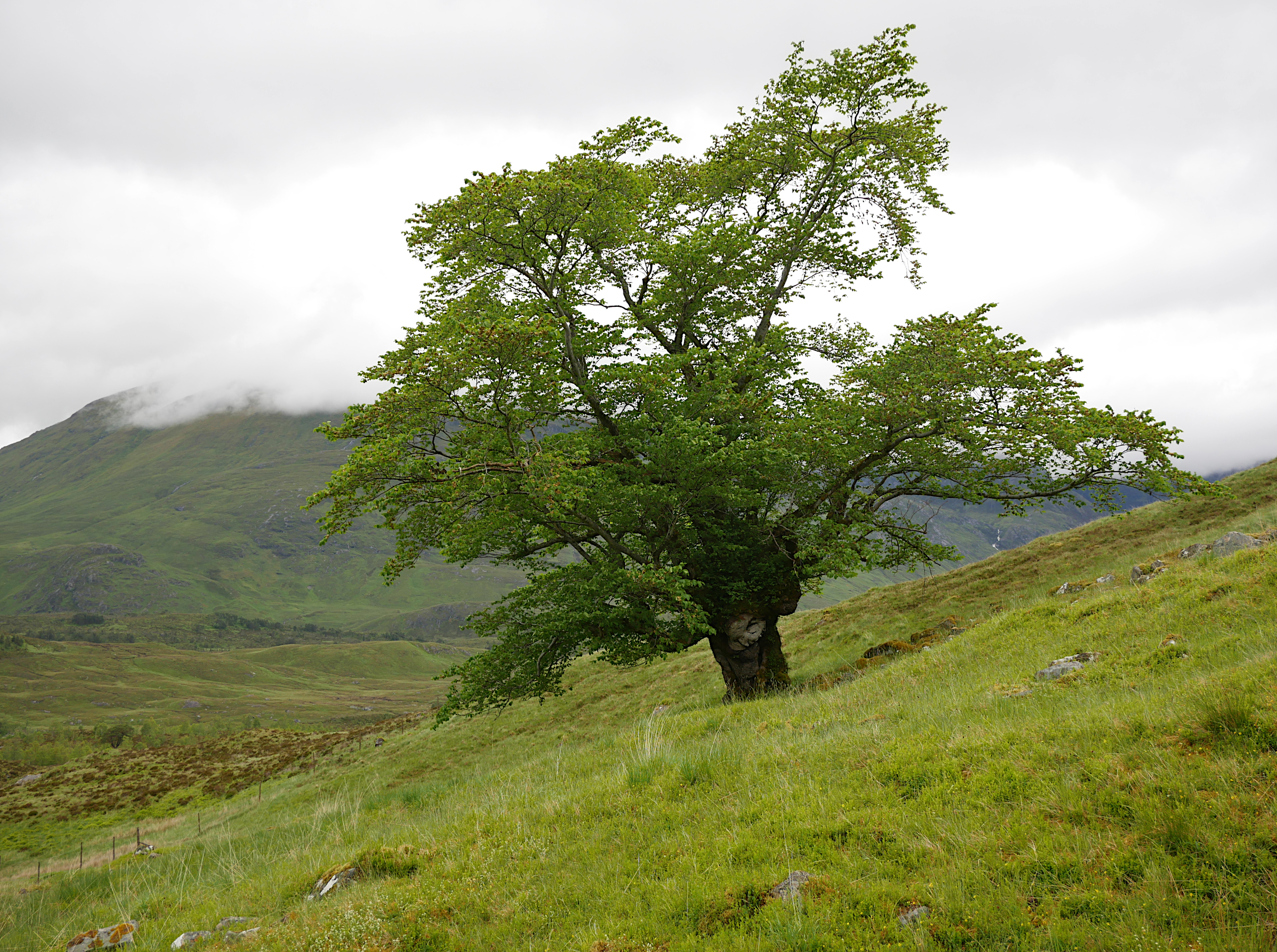
Coire Làir, located in Ross-shire, Scotland, is a picturesque glacial valley known for its stunning natural beauty. Also referred to as Corrie, this geographical feature is situated in the Scottish Highlands, surrounded by rolling hills and steep mountains.
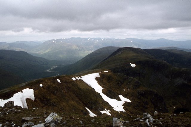
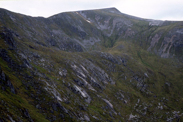
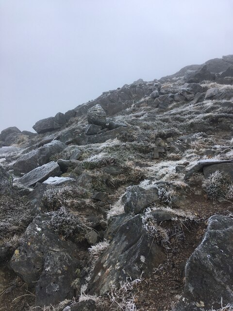
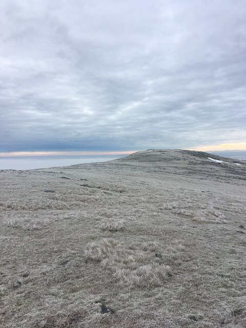
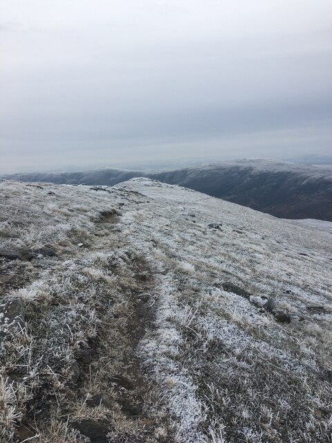
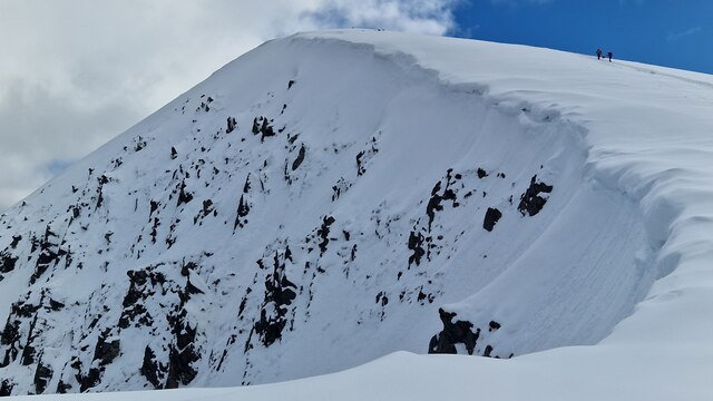
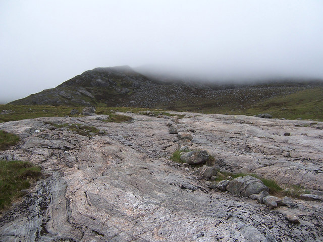
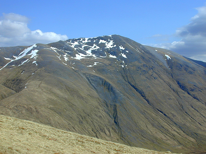
Carved out by ancient glaciers during the last ice age, Coire Làir boasts a U-shaped valley with steep sides and a flat bottom. Its formation is characterized by the erosive action of glaciers as they moved through the area, leaving behind a unique landscape. The valley stretches for approximately 2 kilometers, offering visitors a captivating panorama of rugged terrain and breathtaking vistas.
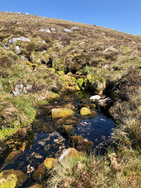
The valley is home to a variety of plant and animal species, making it an ideal location for nature enthusiasts and wildlife photographers. Coire Làir is particularly known for its diverse bird population, including golden eagles, peregrine falcons, and ptarmigans. The valley also supports a variety of plant life, such as heather, mosses, and grasses, which add vibrant colors to the landscape throughout the year.
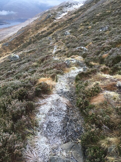
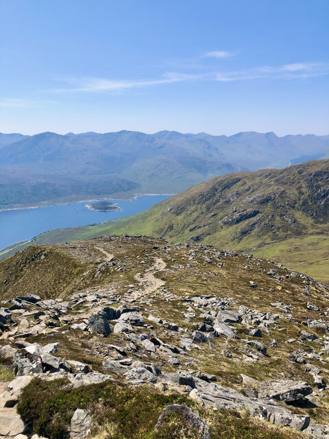
Coire Làir attracts many outdoor enthusiasts who come to explore its natural wonders. Hiking and walking trails wind through the valley, providing visitors with opportunities to experience the beauty of the surroundings up close. The valley is also a popular spot for climbers, with its challenging and rugged terrain offering a thrilling adventure.
Overall, Coire Làir in Ross-shire stands as a testament to the powerful forces of nature and provides a remarkable setting for individuals seeking to immerse themselves in the splendor of the Scottish Highlands.
If you have any feedback on the listing, please let us know in the comments section below.
Coire Làir Images
Images are sourced within 2km of 57.166853/-5.1032968 or Grid Reference NH1212. Thanks to Geograph Open Source API. All images are credited.
Coire Làir is located at Grid Ref: NH1212 (Lat: 57.166853, Lng: -5.1032968)
Unitary Authority: Highland
Police Authority: Highlands and Islands
What 3 Words
///bulletins.sage.sunset. Near Cannich, Highland
Nearby Locations
Related Wikis

Sgùrr nan Conbhairean
Sgùrr nan Conbhairean (Scottish Gaelic for 'peak of the dog-men') is a mountain in the Northwest Highlands of Scotland, lying north of Loch Cluanie and...

Loch Cluanie
Loch Cluanie (Scottish Gaelic: Loch Cluanaidh) is a loch in the Northwest Highlands of Scotland at the south-east end of Glen Shiel. It is a reservoir...
A' Chràlaig
A' Chralaig (Scottish Gaelic: A' Chràileag) is a mountain in the Northwest Highlands of Scotland, north of Loch Cluanie and south of Glen Affric. It is...
Beinn Loinne
Beinn Loinne (also known as Druim nan Cnamh) (789 m) is a mountain in the Northwest Highlands of Scotland. It rises above the southern shore of Loch Cluanie...

Mullach Fraoch-choire
Mullach Fraoch-choire is a 1,102-metre (3,615 ft) mountain – a Munro – in the Northwest Highlands of Scotland on a ridge extending north for 8 kilometres...

Am Bàthach
Am Bàthach is a Scottish mountain situated at the head of Glen Shiel, at the western end of Loch Cluanie some 38 km (24 mi) south east of Kyle of Lochalsh...
Last Ent of Affric
The Last Ent of Affric is an ancient elm in the Scottish Highlands, designated a Tree of National Special Interest (TNSI) by the Woodland Trust and named...

Aonach Shasuinn
Aonach Shasuinn (888 m) is a mountain in the Northwest Highlands of Scotland. It lies in Inverness-shire, on the southern side of Glen Affric. Taking the...
Have you been to Coire Làir?
Leave your review of Coire Làir below (or comments, questions and feedback).