Coire Mùirneach

Corrie (Glacial Valley) in Inverness-shire

Scotland

Coire Mùirneach

Possible shieling remnants near Lundavra
Possible shieling remnants near Lundavra Credit: Steven Brown

The requested URL returned error: 429 Too Many Requests

If you have any feedback on the listing, please let us know in the comments section below.

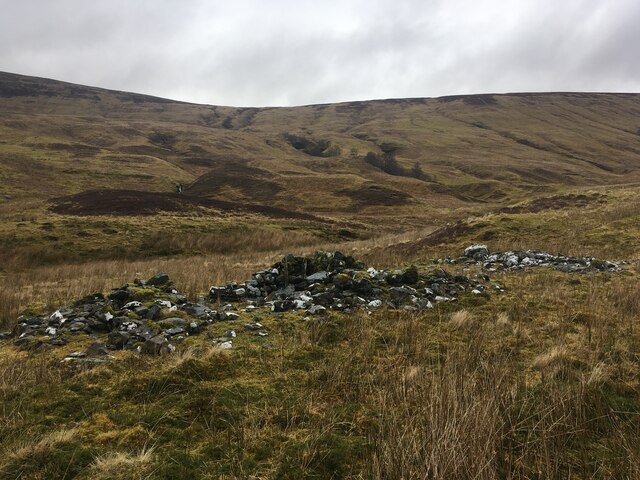
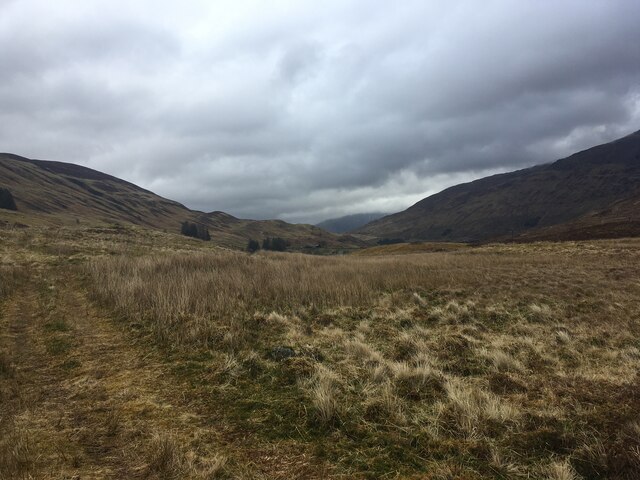
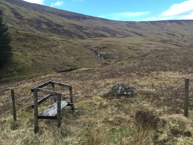
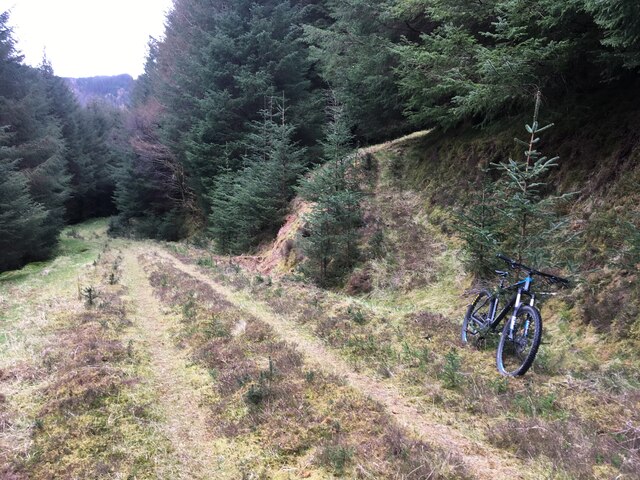
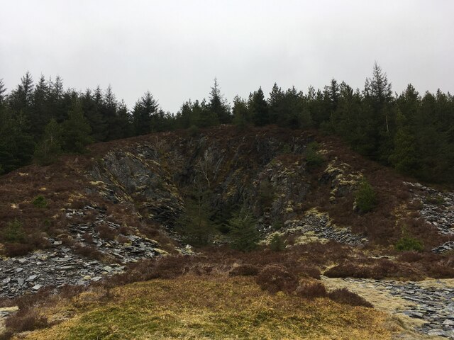
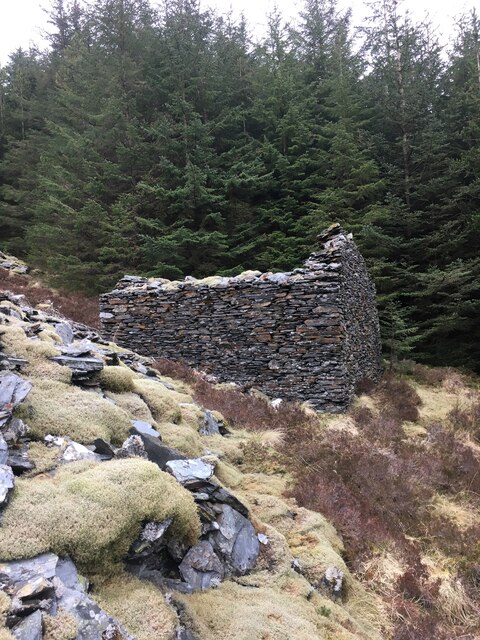
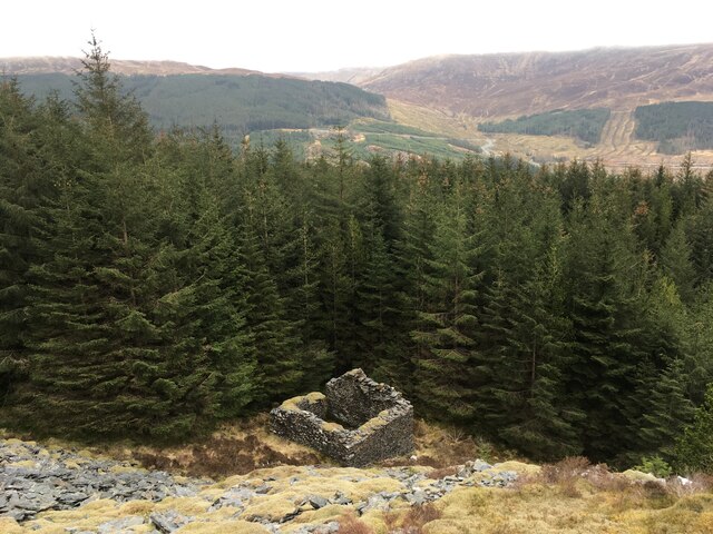
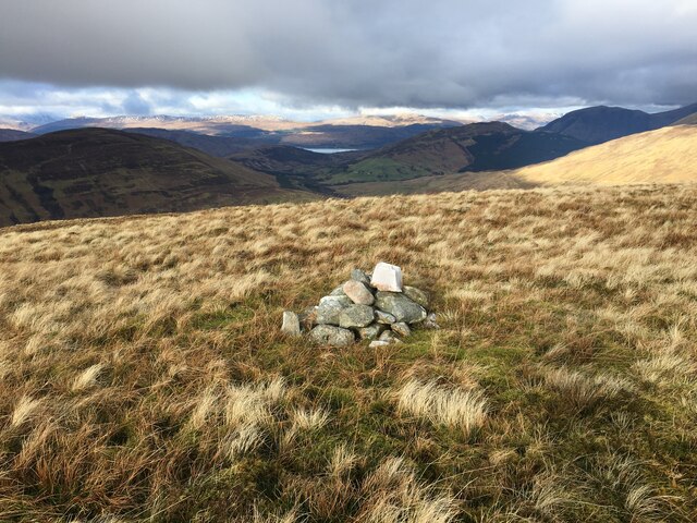
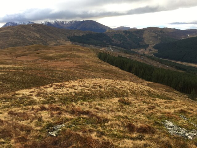
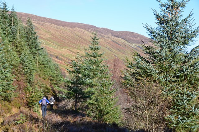
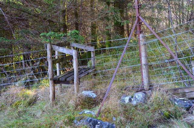
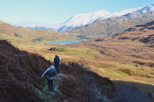
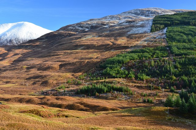
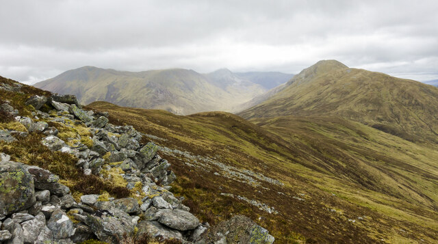
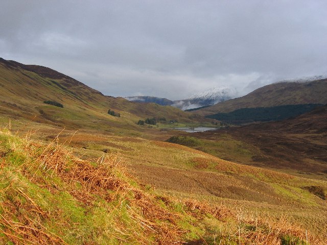
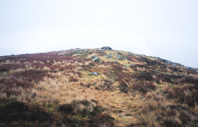
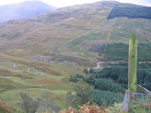
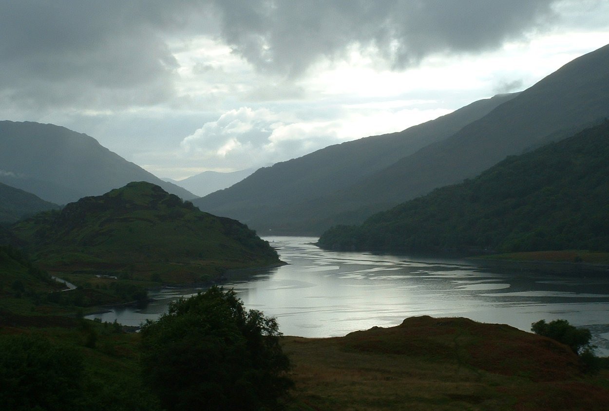
Coire Mùirneach Images

Images are sourced within 2km of 56.729165/-5.1311128 or Grid Reference NN0864. Thanks to Geograph Open Source API. All images are credited.

Possible shieling remnants near Lundavra
Rough farm track near Lundavra
Stile at the forest boundary, Glen Righ
Track junction, Glen Righ The track to the right is not marked on the map but does lead up to the old mine workings.
Track junction, Glen Righ
The track to the right is not marked on the map but does lead up to the old mine workings.
Disused slate mine, Glen Righ Quite substantial workings, given the location.
Disused slate mine, Glen Righ
Quite substantial workings, given the location.
Building, disused slate mine, Glen Righ
Grassy heathery slopes of Doire Ban
Summit of Doire Ban
Summit of Doire Ban
South-west slope of Doire Ban down to Glen Righ
Upper forest path, Gleann Righ The track shown on the map is here a path through the heather at about the 200m contour.
Upper forest path, Gleann Righ
The track shown on the map is here a path through the heather at about the 200m contour.
Edge of the forest, Gleann Righ A stile at the exit of the forest path.
Edge of the forest, Gleann Righ
A stile at the exit of the forest path.
The head of Gleann Righ Beyond the forest the view opens out to Lochan Lunn Da-Bhra with the big west-facing slopes of Ben Nevis beyond.
The head of Gleann Righ
Beyond the forest the view opens out to Lochan Lunn Da-Bhra with the big west-facing slopes of Ben Nevis beyond.
Forest edge on Doire Ban The northern edge of the plantations in Gleann Righ on the W side of Doire Ban (566m). The snow-covered flank of Meall a' Chaorainn is to the left.
Forest edge on Doire Ban
The northern edge of the plantations in Gleann Righ on the W side of Doire Ban (566m). The snow-covered flank of Meall a' Chaorainn is to the left.
North-east ridge of Tom Meadhoin The north-east ridge of Tom Meadhoin extending towards Mam na Gualainn as seen from rocks just below the summit on a day of light rain blown on a strong wind.
North-east ridge of Tom Meadhoin
The north-east ridge of Tom Meadhoin extending towards Mam na Gualainn as seen from rocks just below the summit on a day of light rain blown on a strong wind.
Lundavra The pass at the head of Glen Righ is low, and clear of trees. This is land farmed from Lundavra. Loch Lunn Da Bhra is a landmark towards the end of the West Highland Way.
Lundavra
The pass at the head of Glen Righ is low, and clear of trees. This is land farmed from Lundavra. Loch Lunn Da Bhra is a landmark towards the end of the West Highland Way.
Summit of Tom Meadhoin Tom Meadhoin (621m) above Loch Leven.
Summit of Tom Meadhoin
Tom Meadhoin (621m) above Loch Leven.
Changing plantations Looking from the steep slopes of Beinn na Gucaig to the, now, part forested slopes of Doire Ban. The large mountain to the left is Meall a'Chaorainn a spur of the munro Mullach nan Coirean.
Changing plantations
Looking from the steep slopes of Beinn na Gucaig to the, now, part forested slopes of Doire Ban. The large mountain to the left is Meall a'Chaorainn a spur of the munro Mullach nan Coirean.
Show me another place!

Coire Mùirneach is located at Grid Ref: NN0864 (Lat: 56.729165, Lng: -5.1311128)

Unitary Authority: Highland

Police Authority: Highlands and Islands

What 3 Words

///headless.shadows.showrooms. Near Glencoe, Highland

Nearby Locations

Coire Mùirneach

Related Wikis

Beinn na Gucaig

Beinn na Gucaig (616 m) is a mountain in the Grampian Mountains of Scotland, located south of Fort William in Lochaber. The peak takes up much of the eastern...

Mam na Gualainn

Mam na Gualainn (797 m) is a mountain in the Grampian Mountains, Scotland. It lies above Loch Leven near the village of Kinlochleven in Lochaber. The mountain...

Mullach nan Coirean

Mullach nan Coirean (Scottish Gaelic for 'summit of the corries') or Sgùrr a' Chaorainn ('peak of the rowan') is one of the Mamores mountains in the Scottish...

Loch Leven (Highlands)

Loch Leven (Scottish Gaelic: Loch Liobhann) is a sea loch located on the west coast of Scotland. It is spelled Loch Lyon in Timothy Pont's map of the area...

Nearby Amenities

Located within 500m of 56.729165,-5.1311128
Coire Muirneach
Place: locality
Lat/Long: 56.7293528/-5.1306073
The data included in this document is from www.openstreetmap.org. The data is made available under ODbL.

Have you been to Coire Mùirneach?

Leave your review of Coire Mùirneach below (or comments, questions and feedback).