Coire nan Gobhar

Corrie (Glacial Valley) in Inverness-shire

Scotland

Coire nan Gobhar

Hillside above Glen Righ
Hillside above Glen Righ Credit: Steven Brown

The requested URL returned error: 429 Too Many Requests

If you have any feedback on the listing, please let us know in the comments section below.

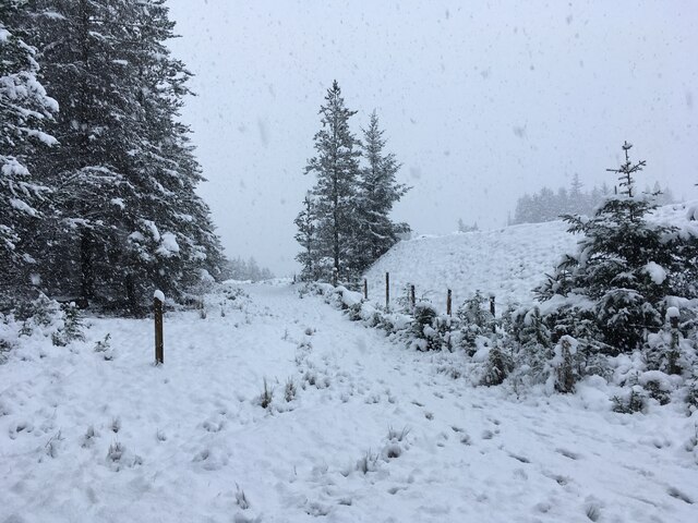
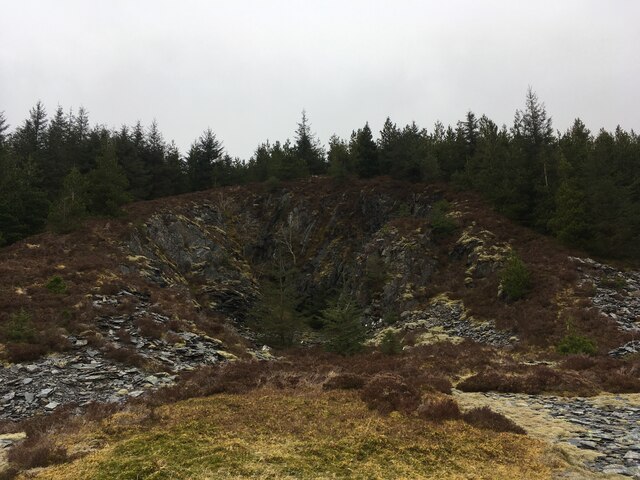
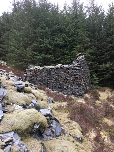
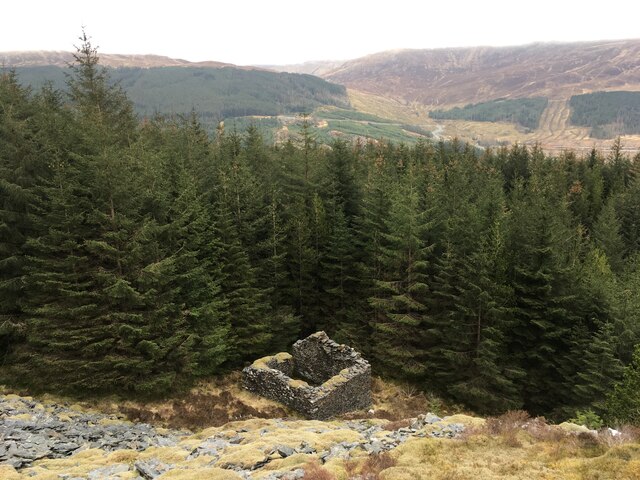
Coire nan Gobhar Images

Images are sourced within 2km of 56.738196/-5.1868544 or Grid Reference NN0565. Thanks to Geograph Open Source API. All images are credited.

Hillside above Glen Righ
Loch Linnhe and shoreline from the picnic site
Trig point on Beinn na Gucaig and view to Ben Nevis
Snow covered path near Inchree
Ridge of Beinn na Gucaig
Beinn na Gucaig
Beinn na Gucaig
Outcrop, Beinn na Gucaig
Disused slate mine, Glen Righ Quite substantial workings, given the location.
Disused slate mine, Glen Righ
Quite substantial workings, given the location.
Building, disused slate mine, Glen Righ
Quarry in the forestry near Inchree
Snowy slopes of Beinn na Gucaig
Loch Linnhe Loch Linnhe by the Sgeir na Sean Chroit picnic area
Loch Linnhe
Loch Linnhe by the Sgeir na Sean Chroit picnic area
Beinn na Gucaig (trig point) The triangulation pillar on the summit of Beinn na Gucaig.
Beinn na Gucaig (trig point)
The triangulation pillar on the summit of Beinn na Gucaig.
Tree and picnic ground off the A82 south of Fort William
Heathery mountain slopes with trees The nearer declining slope, west from Beinn na Gucaig, has planted conifers; the farther, rising slope has scattered trees which have presumably 'self sown'.
Heathery mountain slopes with trees
The nearer declining slope, west from Beinn na Gucaig, has planted conifers; the farther, rising slope has scattered trees which have presumably 'self sown'.
Clear-felled plantation area alongside forest road Forestry plantations on the east side of Loch Linnhe and west of Beinn na Gucaig.
Clear-felled plantation area alongside forest road
Forestry plantations on the east side of Loch Linnhe and west of Beinn na Gucaig.
Show me another place!

Coire nan Gobhar is located at Grid Ref: NN0565 (Lat: 56.738196, Lng: -5.1868544)

Unitary Authority: Highland

Police Authority: Highlands and Islands

What 3 Words

///curtail.caller.daredevil. Near Glencoe, Highland

Related Wikis

Beinn na Gucaig

Beinn na Gucaig (616 m) is a mountain in the Grampian Mountains of Scotland, located south of Fort William in Lochaber. The peak takes up much of the eastern...

Inchree

Inchree (Scottish Gaelic: Innis an Ruighe) is a small hamlet, situated at the northern end of the village of Onich. It is 7 miles south of the town of...

Corran Ferry

The Corran Ferry crosses Loch Linnhe at the Corran Narrows, south of Fort William, Scotland. == Description == Operated by Highland Council, the Corran...

Corran, Lochaber

Corran (Scottish Gaelic: An Corran) is a former fishing village, situated on Corran Point, on the west side of the Corran Narrows of Loch Linnhe, in Lochaber...

Nearby Amenities

Located within 500m of 56.738196,-5.1868544
Coire nan Gobhar
Place: locality
Lat/Long: 56.7389857/-5.1860951
Coire nan Caorach
Place: locality
Lat/Long: 56.7395058/-5.1794083
Coire an Lochan
Place: locality
Lat/Long: 56.7347542/-5.1909584
Coire nan Gobhar
Place: locality
Lat/Long: 56.7366216/-5.1918825
The data included in this document is from www.openstreetmap.org. The data is made available under ODbL.

Have you been to Coire nan Gobhar?

Leave your review of Coire nan Gobhar below (or comments, questions and feedback).