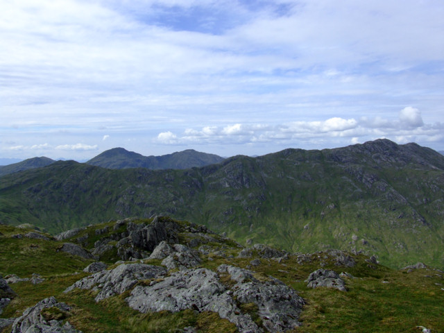
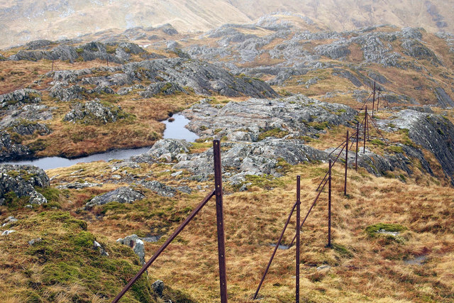
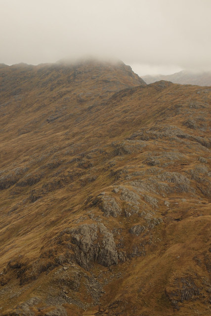
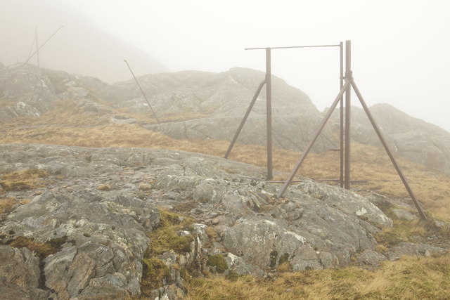
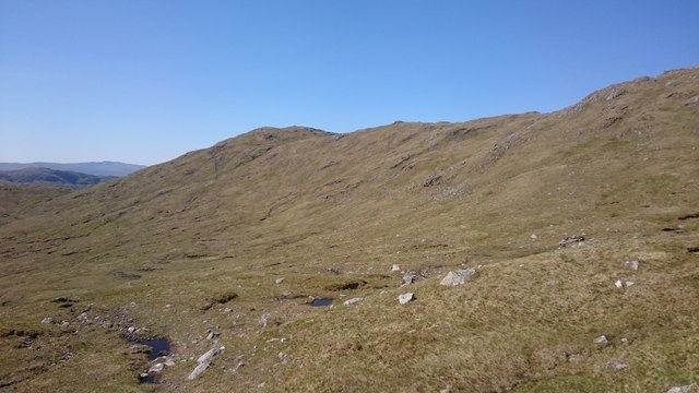
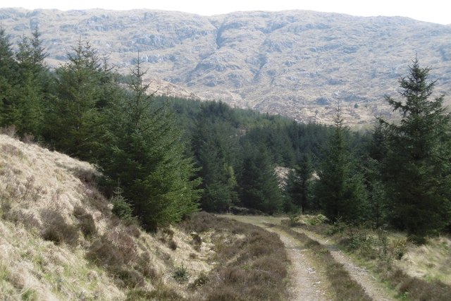
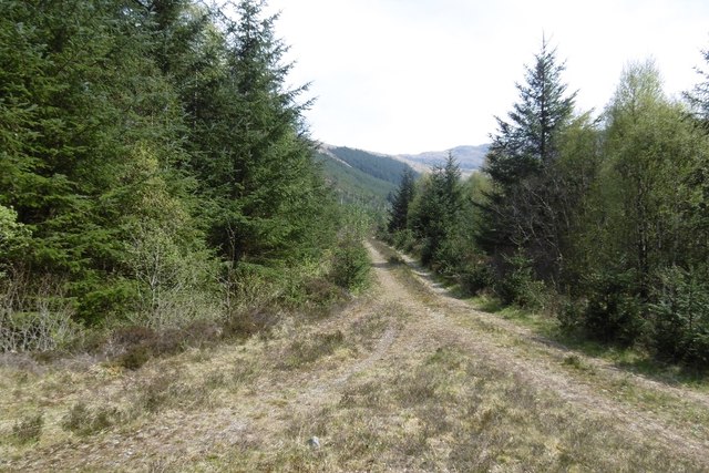
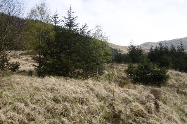
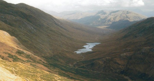
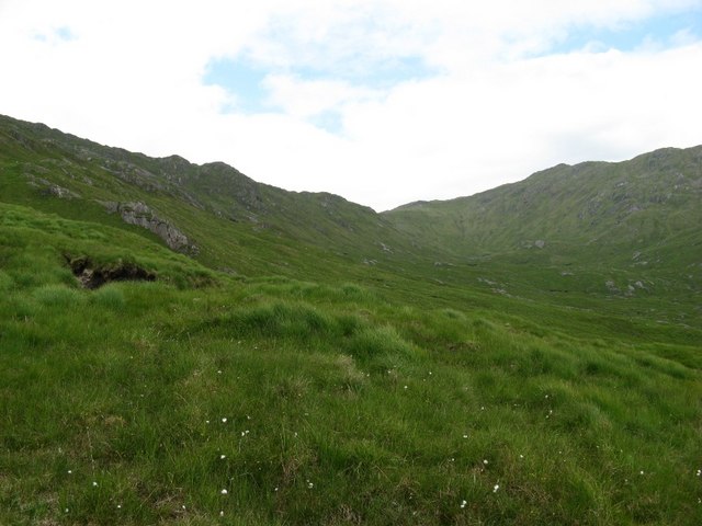
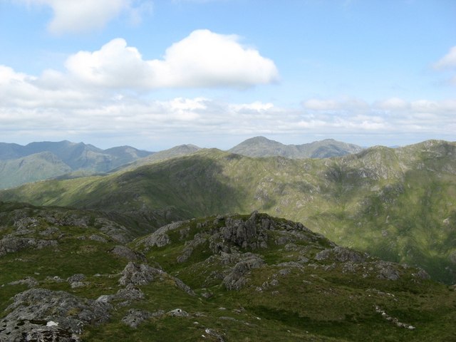
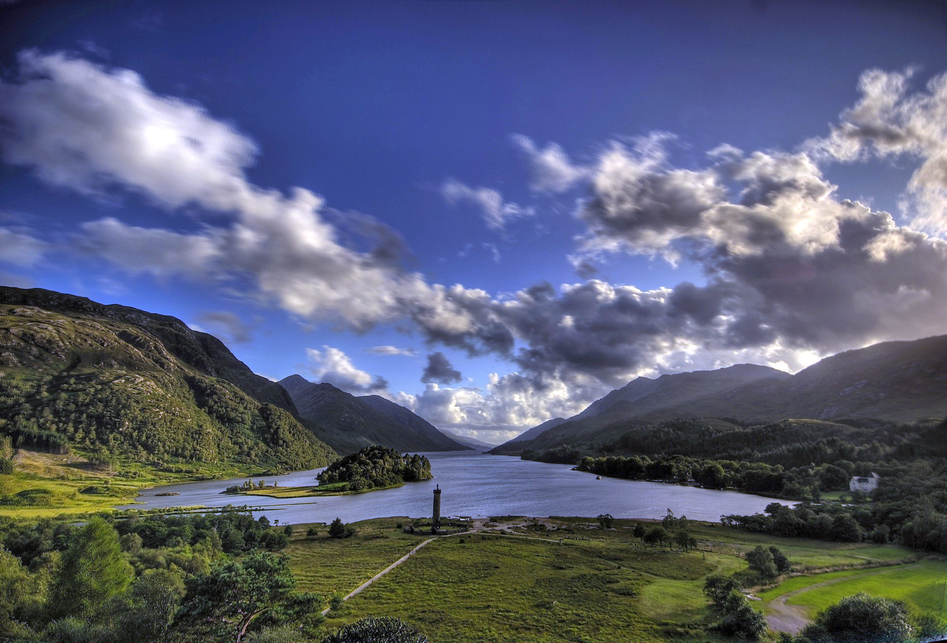
Coire nan Allt Beithe
Corrie (Glacial Valley) in Argyllshire
Scotland
Coire nan Allt Beithe
The requested URL returned error: 429 Too Many Requests
If you have any feedback on the listing, please let us know in the comments section below.
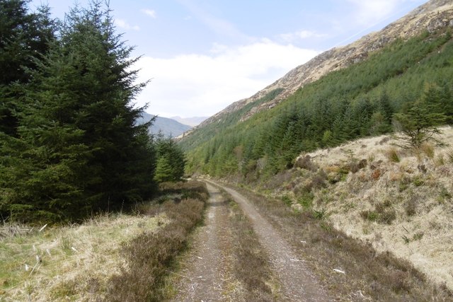
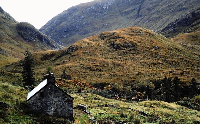
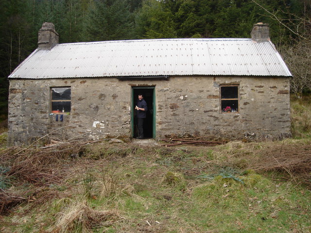
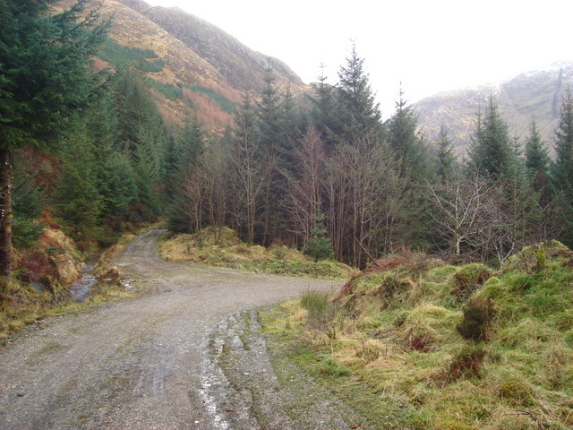
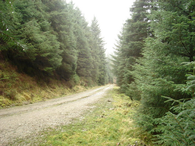
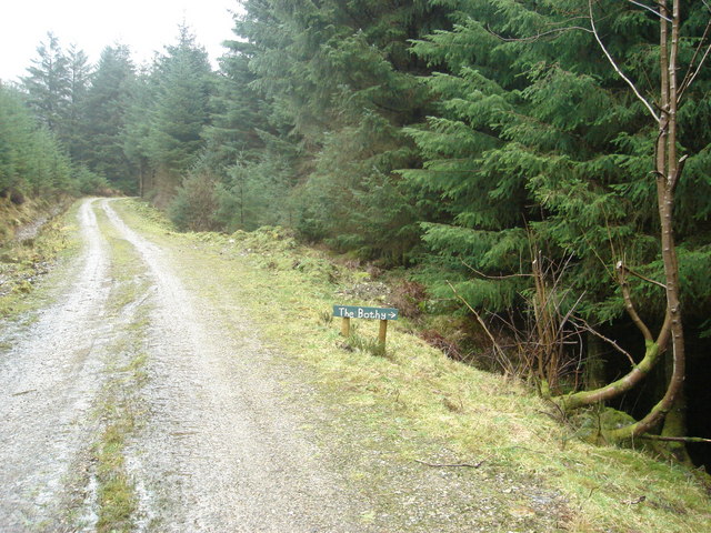
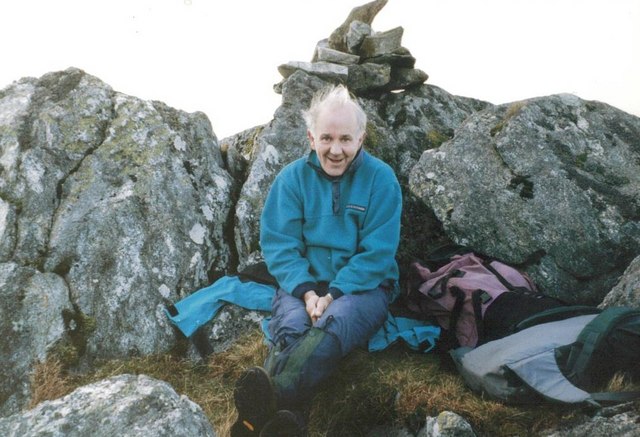
Coire nan Allt Beithe Images
Images are sourced within 2km of 56.792095/-5.5116781 or Grid Reference NM8572. Thanks to Geograph Open Source API. All images are credited.
Coire nan Allt Beithe is located at Grid Ref: NM8572 (Lat: 56.792095, Lng: -5.5116781)
Unitary Authority: Highland
Police Authority: Highlands and Islands
What 3 Words
///gadgets.magnets.signature. Near Arisaig, Highland
Nearby Locations
Related Wikis

Sgùrr Ghiubhsachain
Sgùrr Ghiubhsachain is a mountain in the Lochaber area in the west of Scotland. Its summit is the highest point in a group of mountains that stand south...

Càrn na Nathrach
Carn na Nathrach (786 m) is a mountain in the Northwest Highlands of Scotland. It is located in the Ardgour area of Lochaber. A very remote mountain, it...
Loch Shiel
See Glen Shiel for the much smaller Loch Shiel in Lochalsh.Loch Shiel (Scottish Gaelic: Loch Seile) is a freshwater loch situated 20 kilometres (12 mi...

Sgùrr Dhòmhnuill
Sgurr Dhòmhnuill or Sgurr Dhòmhnaill is a mountain in western Scotland. The summit lies about ten kilometres (six miles) northeast of Strontian.
Have you been to Coire nan Allt Beithe?
Leave your review of Coire nan Allt Beithe below (or comments, questions and feedback).