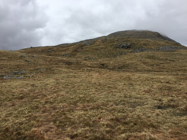
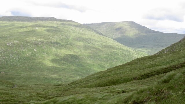
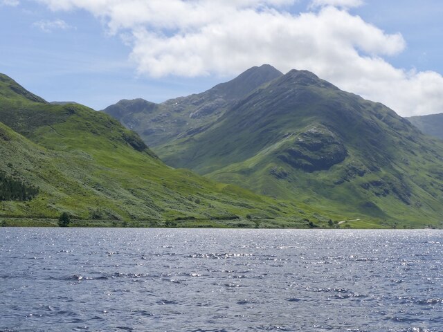
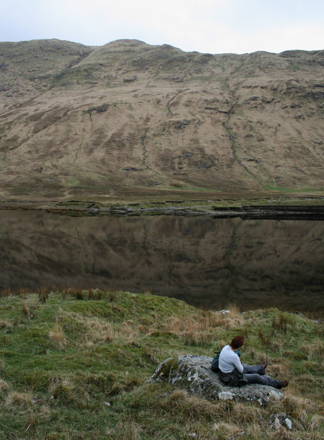
Coire an t-Seasglaich
Corrie (Glacial Valley) in Argyllshire
Scotland
Coire an t-Seasglaich
The requested URL returned error: 429 Too Many Requests
If you have any feedback on the listing, please let us know in the comments section below.
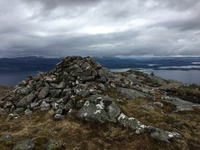
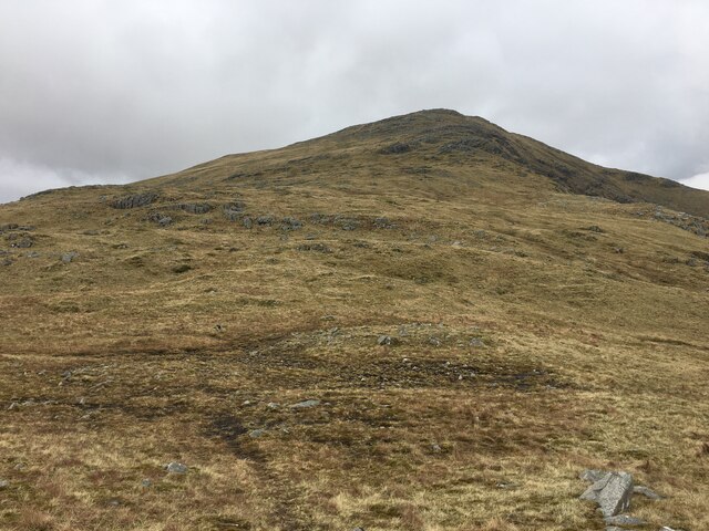
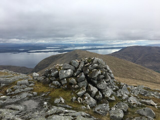
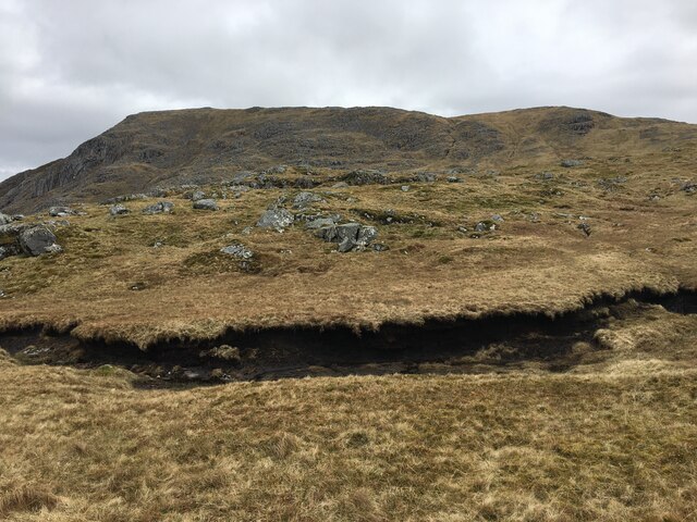
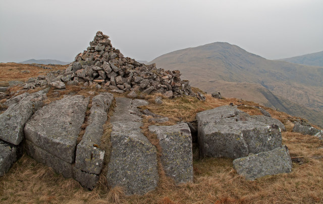
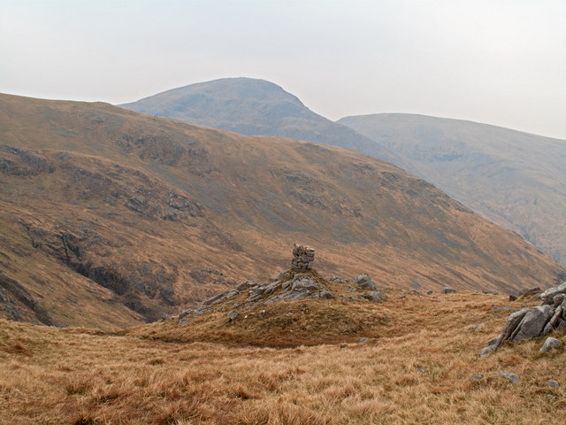
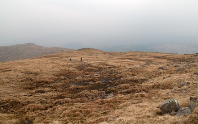
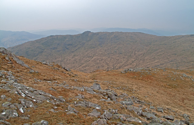
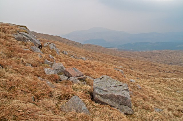
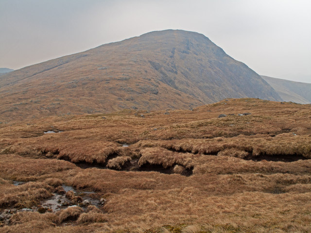
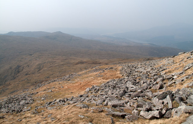
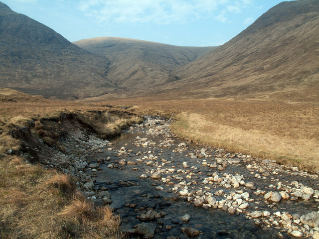
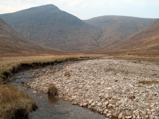
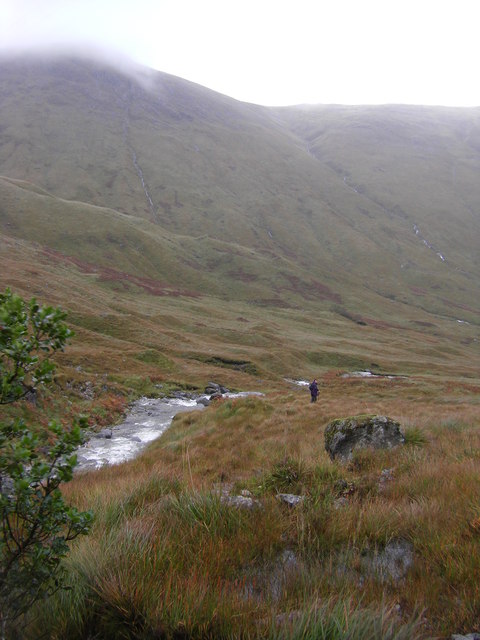
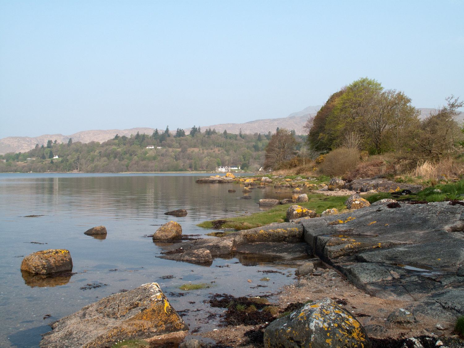
Coire an t-Seasglaich Images
Images are sourced within 2km of 56.644981/-5.4978314 or Grid Reference NM8555. Thanks to Geograph Open Source API. All images are credited.
Coire an t-Seasglaich is located at Grid Ref: NM8555 (Lat: 56.644981, Lng: -5.4978314)
Unitary Authority: Highland
Police Authority: Highlands and Islands
What 3 Words
///newest.lilac.directive. Near Lochaline, Highland
Nearby Locations
Related Wikis

Creach Bheinn (Morvern)
Creach Bheinn is a prominent mountain in the Morvern area in the west of Scotland. It is less steep and even less frequently climbed than its northern...

A861 road
The A861 road is a circuitous, primarily coastal, road in Lochaber, within the Highland council area of Scotland.The A861 serves the communities of the...

Sunart
Sunart ( SOO-nart, Scottish Gaelic: Suaineart [ˈs̪uəɲərˠʃt̪]) is a rural district and community in the south west of Lochaber in Highland, Scotland, on...
Strontian
Strontian (;Scottish Gaelic: Sròn an t-Sìthein [s̪ɾɔːn̪ˠ ən̪ˠ ˈtʲiː.ɪn]) is the main village in Sunart, an area in western Lochaber, Highland, Scotland...
Have you been to Coire an t-Seasglaich?
Leave your review of Coire an t-Seasglaich below (or comments, questions and feedback).