Sundon, Lower
Settlement in Bedfordshire
England
Sundon, Lower

Sundon is a small village located in the county of Bedfordshire, in the eastern region of England. It is situated in the southern part of the county, within the civil parish of Sundon.
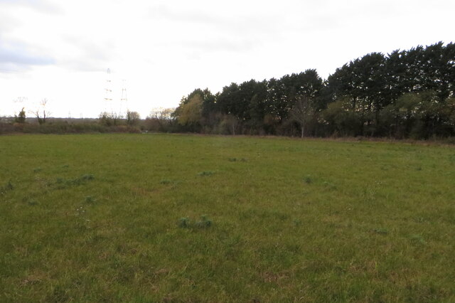
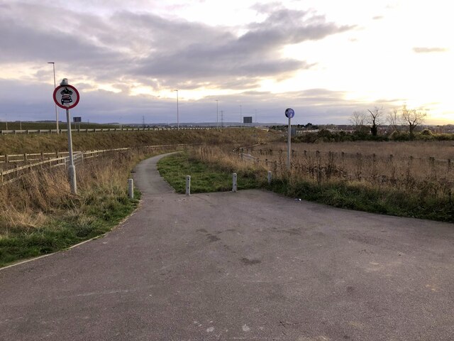
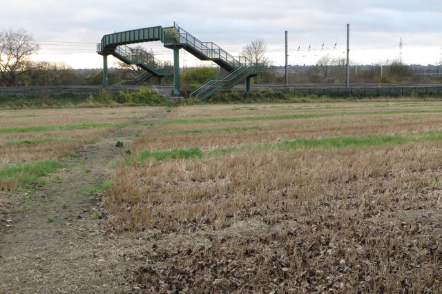
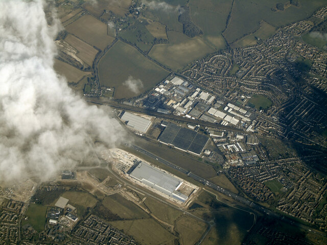
The village is surrounded by picturesque countryside, with rolling hills and lush green fields. It is located approximately 5 miles south of the town of Luton and 10 miles north of the city of Dunstable. The village is well-connected to these larger towns and cities, with good transport links including access to the M1 motorway.
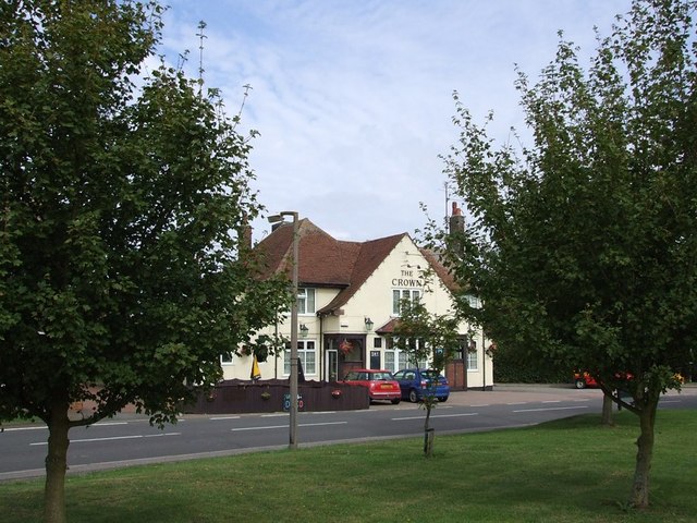
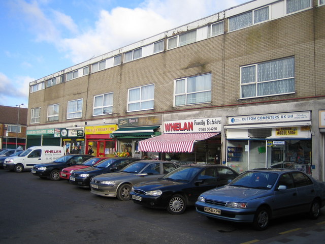
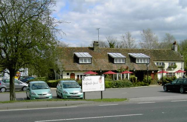
Sundon itself is a quiet and peaceful village, with a close-knit community. The village features a mix of old and new houses, with a range of architectural styles. There is a small village center, which includes a local convenience store and a village hall that hosts community events.
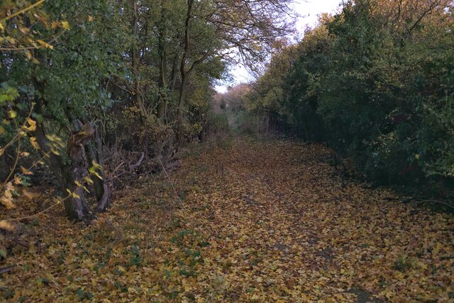
The village is surrounded by beautiful natural landscapes, making it an ideal location for outdoor enthusiasts. The nearby Chiltern Hills offer opportunities for hiking, cycling, and exploring nature. Sundon also benefits from close proximity to the Sundon Hills Country Park, which is a popular destination for walkers and nature lovers.
Overall, Sundon is a charming village that offers a tranquil and idyllic lifestyle, with easy access to nearby towns and cities. It is a place where residents can enjoy the beauty of the countryside while still being within reach of urban amenities.
If you have any feedback on the listing, please let us know in the comments section below.
Sundon, Lower Images
Images are sourced within 2km of 51.93145/-0.477134 or Grid Reference TL0426. Thanks to Geograph Open Source API. All images are credited.


Sundon, Lower is located at Grid Ref: TL0426 (Lat: 51.93145, Lng: -0.477134)
Unitary Authority: Central Bedfordshire
Police Authority: Bedfordshire
What 3 Words
///unscathed.mastering.rebounder. Near Chalton, Bedfordshire
Nearby Locations
Related Wikis

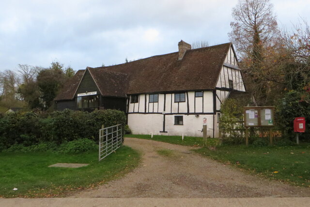
Church of St Mary, Sundon
Church of St Mary is a Grade I listed church in Lower Sundon, Bedfordshire, England. It became a listed building on 3 February 1967. == See also == Grade...
Upper Sundon
Upper Sundon is a village located in the Central Bedfordshire district of Bedfordshire, England. The village is the largest settlement in the wider Sundon...

Sundon
Sundon is a civil parish in the English county of Bedfordshire. There are two settlements: the one called Upper Sundon at the top of the hill is now...

Sundon Chalk Quarry
Sundon Chalk Quarry is a 26.2-hectare (65-acre) biological Site of Special Scientific Interest in Upper Sundon in Bedfordshire. It was notified in 1989...
Sundon Park
Sundon Park is a suburb of north Luton, in the Luton district, in the ceremonial county of Bedfordshire, England. The area is roughly bounded by the edge...

Lealands High School
Lealands High School, formerly Sundon Park Comprehensive School, is a foundation school for 11 to 16 year olds located in Sundon Park, Luton. The school...
Chalton, Bedfordshire
Chalton is a village and civil parish in the Central Bedfordshire district of Bedfordshire, England, immediately north of the Luton/Dunstable conurbation...

Lower Sundon
Lower Sundon is a hamlet located in the Central Bedfordshire district of Bedfordshire, England. The settlement was established before 1066. The manor of...
Nearby Amenities
Located within 500m of 51.93145,-0.477134Have you been to Sundon, Lower?
Leave your review of Sundon, Lower below (or comments, questions and feedback).