Coire na Caise
Corrie (Glacial Valley) in Argyllshire
Scotland
Coire na Caise

The requested URL returned error: 429 Too Many Requests
If you have any feedback on the listing, please let us know in the comments section below.
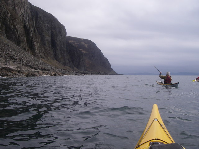
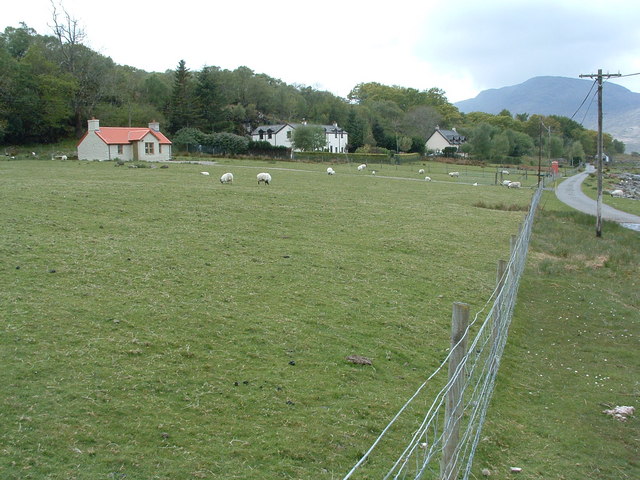
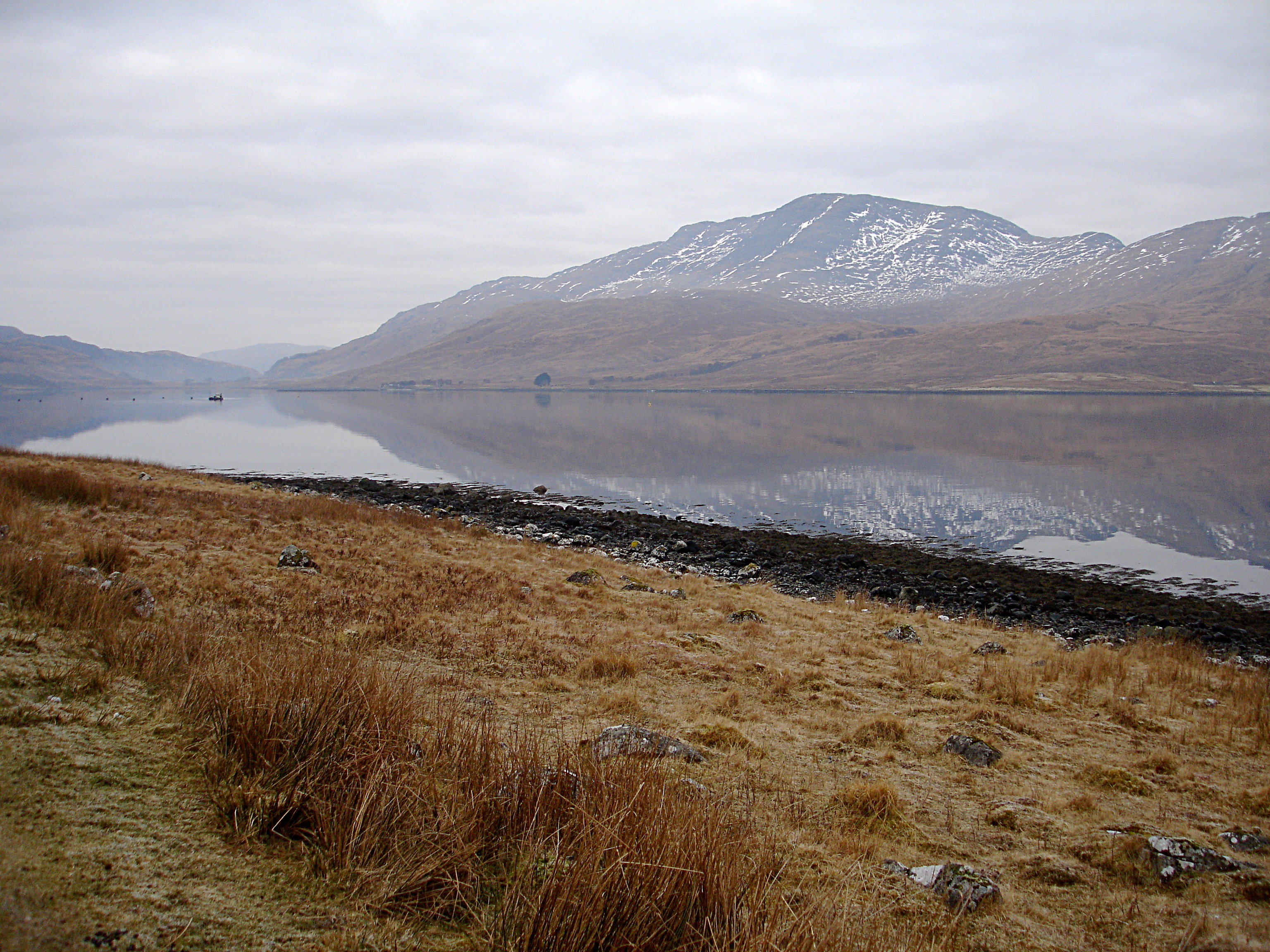
Coire na Caise Images
Images are sourced within 2km of 56.360852/-5.7229531 or Grid Reference NM7024. Thanks to Geograph Open Source API. All images are credited.


Coire na Caise is located at Grid Ref: NM7024 (Lat: 56.360852, Lng: -5.7229531)
Unitary Authority: Argyll and Bute
Police Authority: Argyll and West Dunbartonshire
What 3 Words
///shares.regret.keepers. Near Lochbuie, Argyll & Bute
Nearby Locations
Related Wikis
Croggan
Croggan is a small scattered settlement on the Loch Spelve sea loch, in the south of the Isle of Mull, Argyll and Bute, Scotland. It is located in the...

Loch Spelve
Loch Spelve is a sea loch on the southeast coast of the Isle of Mull, off the west coast of Scotland. It is almost landlocked with a relatively narrow...

Firth of Lorn
The Firth of Lorn or Lorne (Scottish Gaelic: An Linne Latharnach) is the inlet of the sea between the south-east coast of the Isle of Mull and the mainland...
Creach-Beinn (Mull)
Creach-Beinn (698 m) is a mountain in the south of the Isle of Mull, Scotland. It rises above the northern shore of Loch Spelve. A rocky mountain with...
Have you been to Coire na Caise?
Leave your review of Coire na Caise below (or comments, questions and feedback).