Margaret Ness
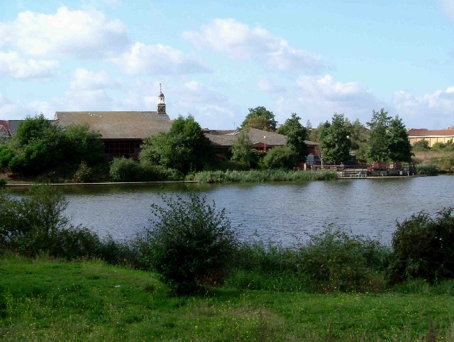
Coastal Marsh, Saltings in Kent
England
Margaret Ness
The requested URL returned error: 429 Too Many Requests
If you have any feedback on the listing, please let us know in the comments section below.
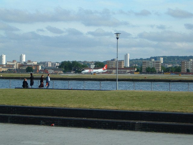
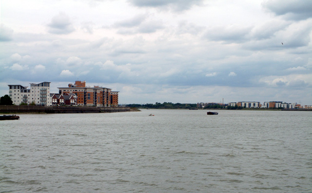
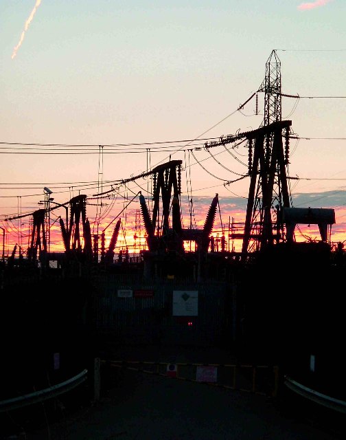
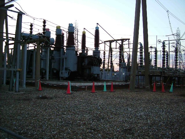
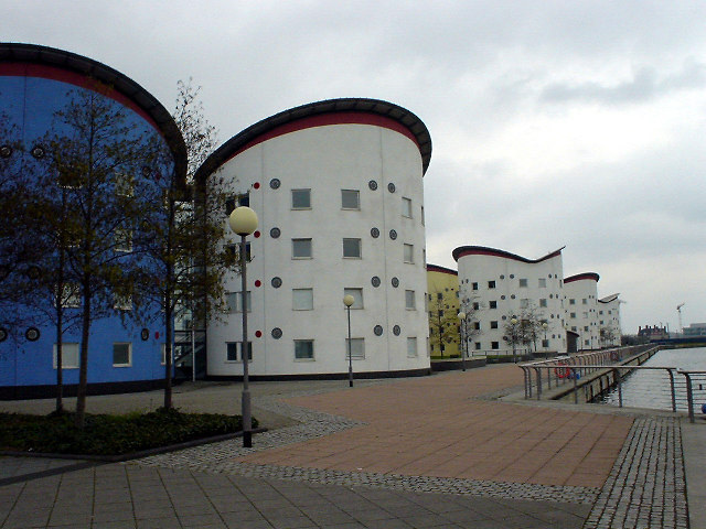
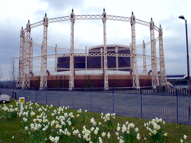
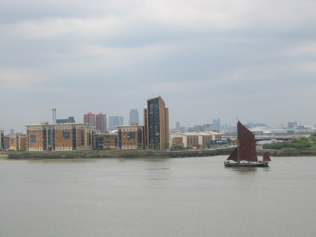
Margaret Ness Images
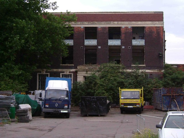
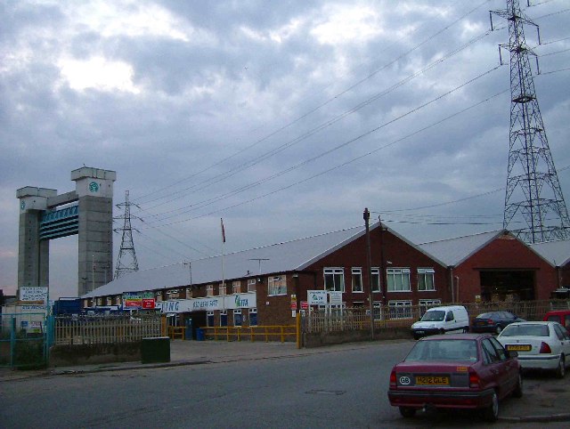
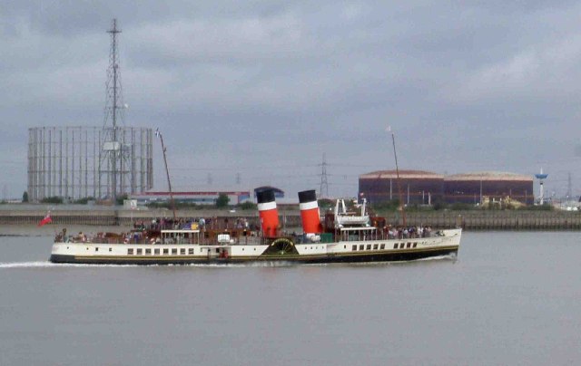
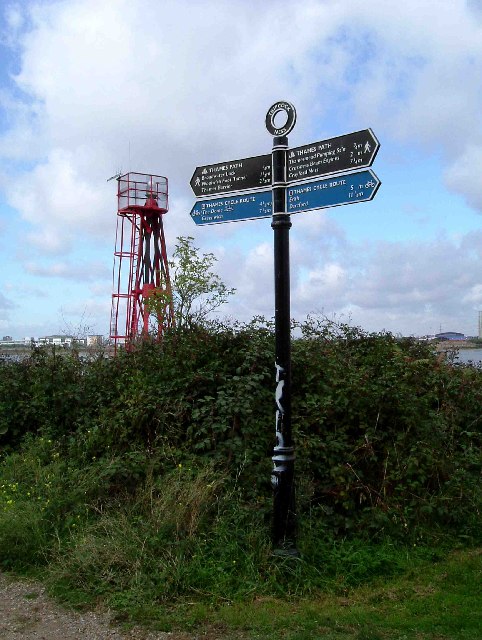
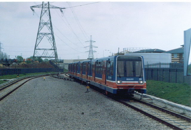
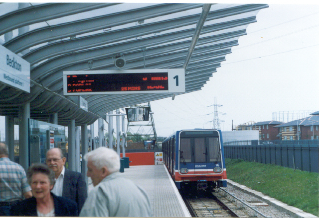
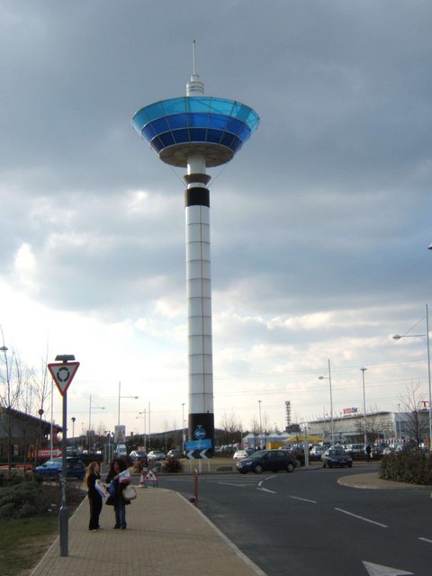
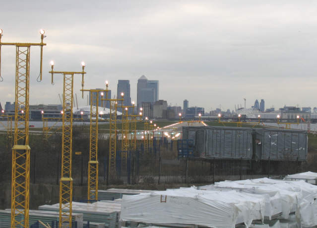
Images are sourced within 2km of 51.508844/0.091596423 or Grid Reference TQ4580. Thanks to Geograph Open Source API. All images are credited.

Margaret Ness is located at Grid Ref: TQ4580 (Lat: 51.508844, Lng: 0.091596423)
Unitary Authority: Greenwich
Police Authority: Metropolitan
Also known as: Tripcock Ness
What 3 Words
///smile.likes.villa. Near Barking, London
Nearby Locations
Related Wikis
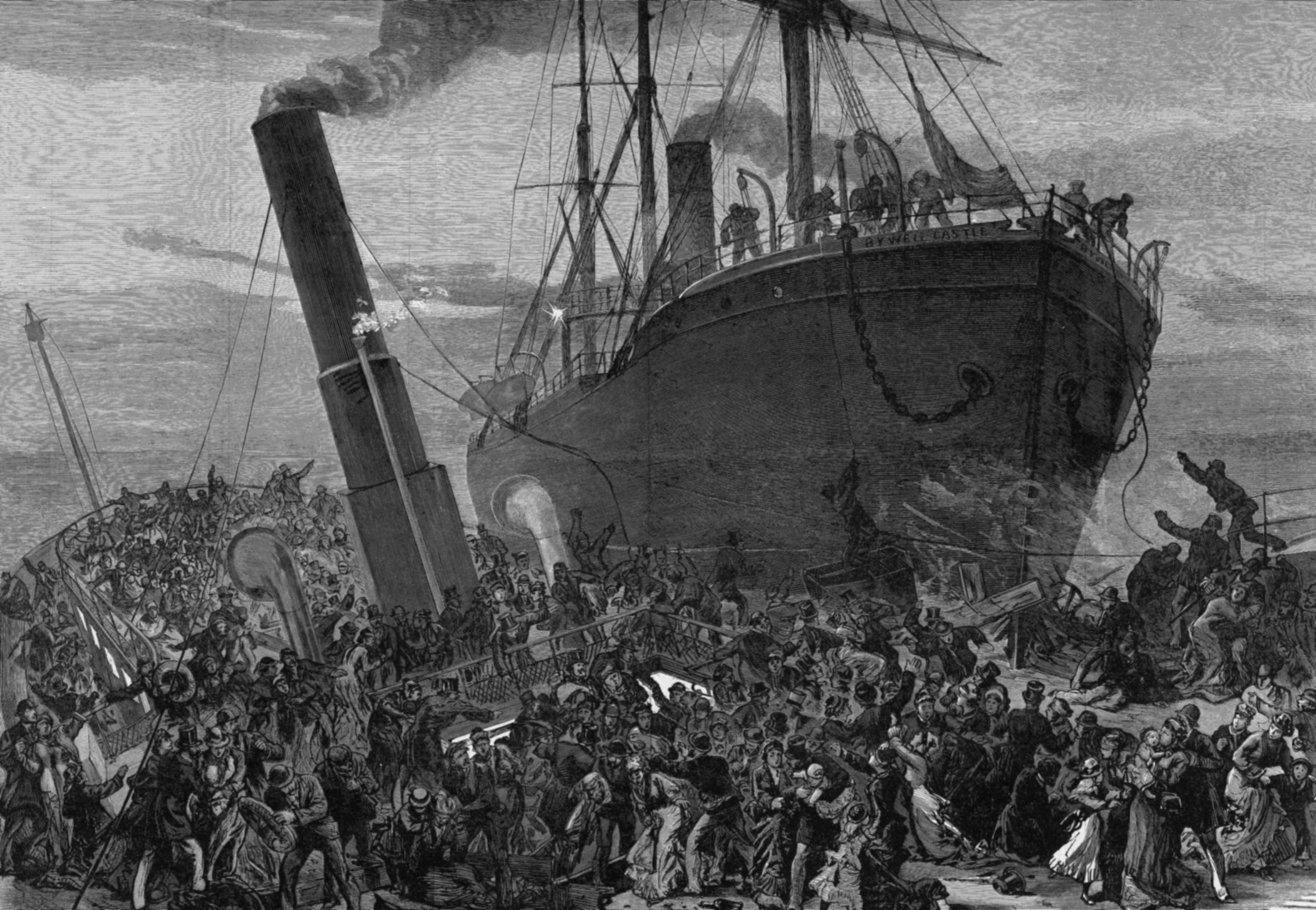
Sinking of SS Princess Alice
SS Princess Alice, formerly PS Bute, was a British passenger paddle steamer that sank on 3 September 1878 after a collision with the collier SS Bywell...
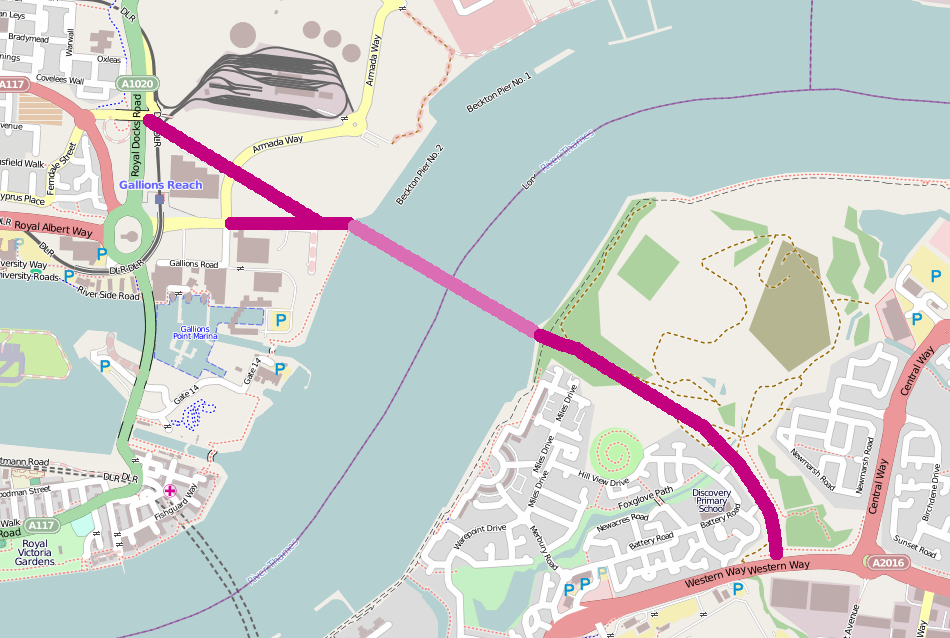
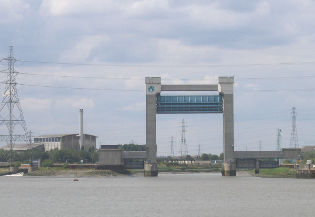
Gallions Reach Crossing
The Gallions Reach Crossing was a proposed River Thames crossing close to Gallions Reach in East London, running between Beckton in the London Borough...

Thames Gateway Bridge
The Thames Gateway Bridge was a proposed crossing over the River Thames in east London, England. It was first mooted in the 1970s but never came to fruition...

Thames Gateway Water Treatment Works
The Thames Gateway Water Treatment Works or Beckton Desalination Plant is a desalination plant in Beckton, London, adjacent to Beckton Sewage Treatment...
Related Videos

5 Best Places to Visit in Winter in the UK
Hi, everyone! If you're looking for some great places to visit in the UK during winter, then you've come to the right video. In this ...

Walking around The Royal Arsenal Riverside.
A bright and windy afternoon was perfect to walk around Woolwich, specifically around the Royal Arsenal. This please has some ...
![London River Walking Tour | Study/Chill/Meditation | [4K HD]](https://i.ytimg.com/vi/Fq-rj5jO7rY/hqdefault.jpg)
London River Walking Tour | Study/Chill/Meditation | [4K HD]
Welcome to Serene Strolls... Relax your mind and take a stroll with us through Woolwich, London. This peaceful London stroll ...

Nissi Beach Ayiyaa Napa ,Sunny Beach Walk , Cyprus.Walking Tour on July Sunday 2022.
Nissi Beach is on of the Beutiful beach of Cyprus. On Sunday full of people . People are enjoying their holidays. Beach Walk ...
Nearby Amenities
Located within 500m of 51.508844,0.091596423Have you been to Margaret Ness?
Leave your review of Margaret Ness below (or comments, questions and feedback).