Malltraeth Marsh
Coastal Marsh, Saltings in Anglesey
Wales
Malltraeth Marsh
The requested URL returned error: 429 Too Many Requests
If you have any feedback on the listing, please let us know in the comments section below.
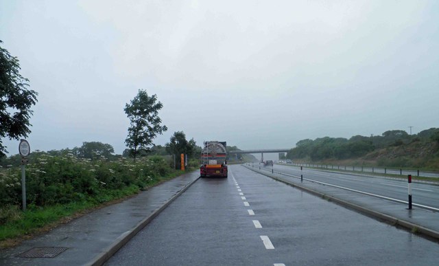
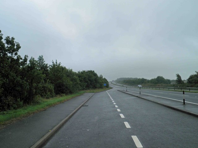
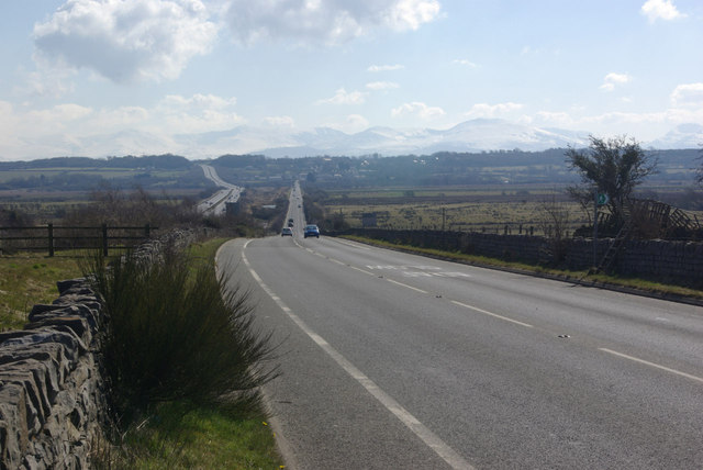
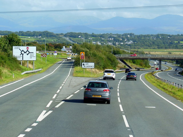
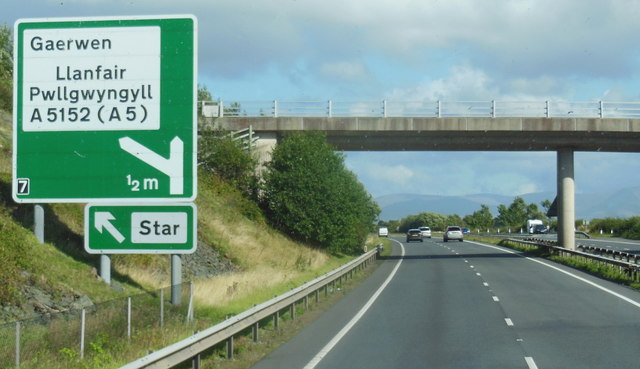
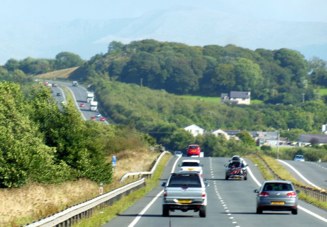
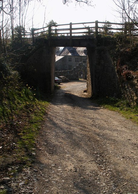
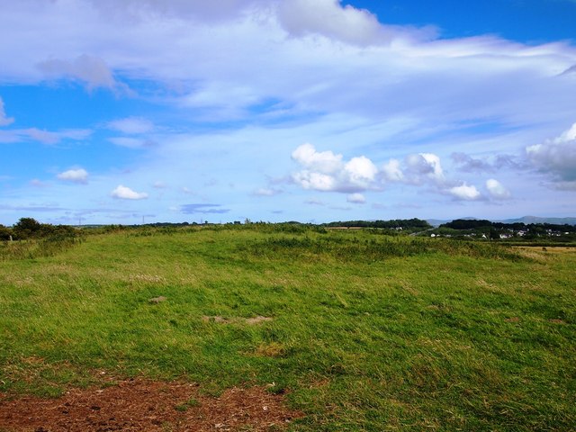
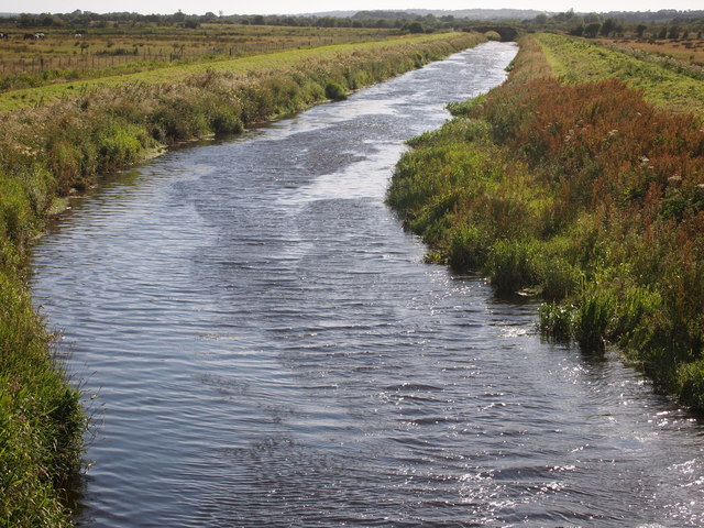
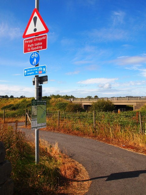
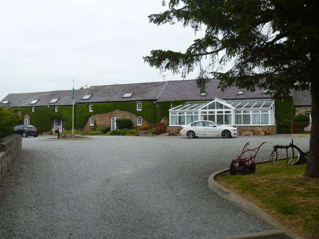
Malltraeth Marsh Images
Images are sourced within 2km of 53.231677/-4.3009756 or Grid Reference SH4672. Thanks to Geograph Open Source API. All images are credited.
![Old lime kiln and pond [1] At the side of the pond is a disused lime kiln. The scene is somewhat more overgrown than in Stephen Roddick&#039;s 2006 image <a href="https://www.geograph.org.uk/photo/183730">SH4473 : The Old Lime Kiln, near Llanfawr, Llangristiolus, Anglesey.</a>.](https://s3.geograph.org.uk/geophotos/04/59/90/4599075_00b4afcd.jpg)
Malltraeth Marsh is located at Grid Ref: SH4672 (Lat: 53.231677, Lng: -4.3009756)
Unitary Authority: Isle of Anglesey
Police Authority: North Wales
Also known as: Cors Ddyga
What 3 Words
///hours.honest.complies. Near Gaerwen, Isle of Anglesey
Nearby Locations
Related Wikis
Holland Arms railway station
Holland Arms railway station was situated on the Anglesey Central Railway line from Gaerwen to Amlwch. Located in the village of Pentre Berw it was known...

Pentre Berw
Pentre Berw () is a small village located on the island of Anglesey in north Wales. It lies about 2 miles (3.2 km) south of the county town of Llangefni...
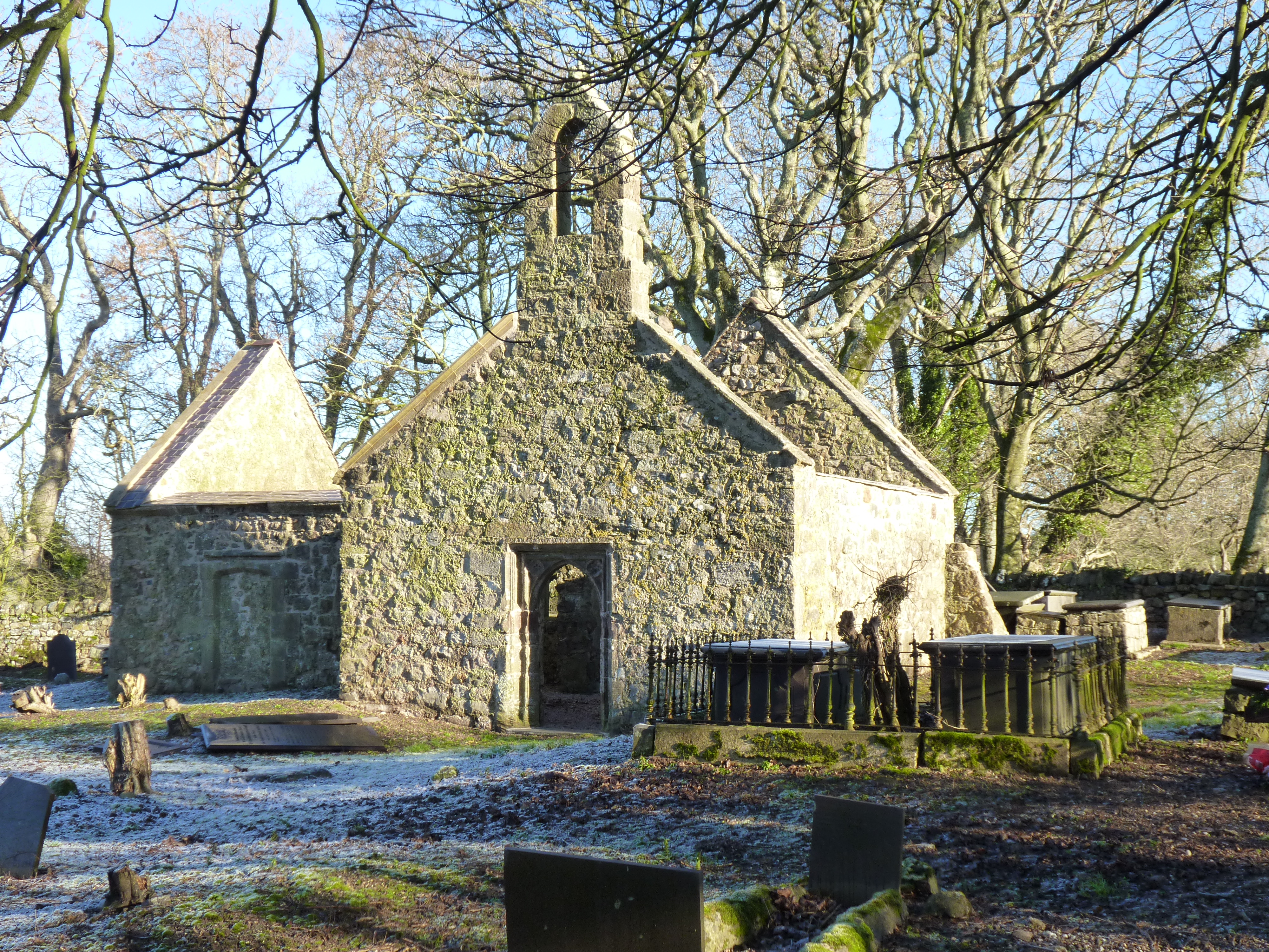
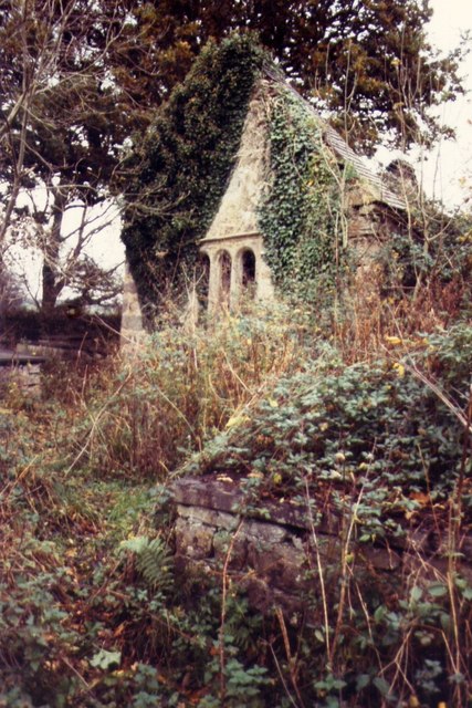
St Michael's Church, Llanfihangel Ysgeifiog
St Michael's Church, Llanfihangel Ysgeifiog, is a former parish church in Anglesey, Wales, which is now closed and in ruins. The structure dates from the...

Llanfihangel Ysgeifiog
Llanfihangel Ysgeifiog (occasionally spelt Llanfihangel Esgeifiog or Llanfihangelesgeifiog) is a community (civil parish) and former ecclesiastical parish...
Nearby Amenities
Located within 500m of 53.231677,-4.3009756Have you been to Malltraeth Marsh?
Leave your review of Malltraeth Marsh below (or comments, questions and feedback).