Beachfarm Marshes

Coastal Marsh, Saltings in Suffolk East Suffolk

England

Beachfarm Marshes

Sailors' and Fishermen's Bethel, Kessingland
Sailors' and Fishermen's Bethel, Kessingland Credit: Adrian S Pye

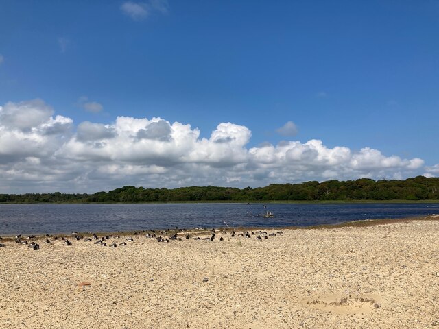
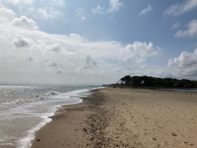
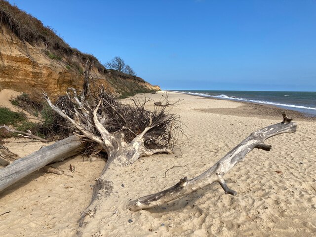
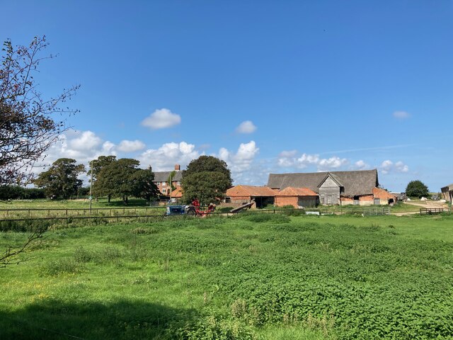
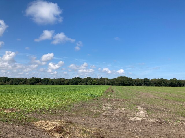
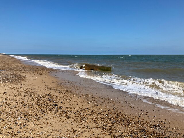
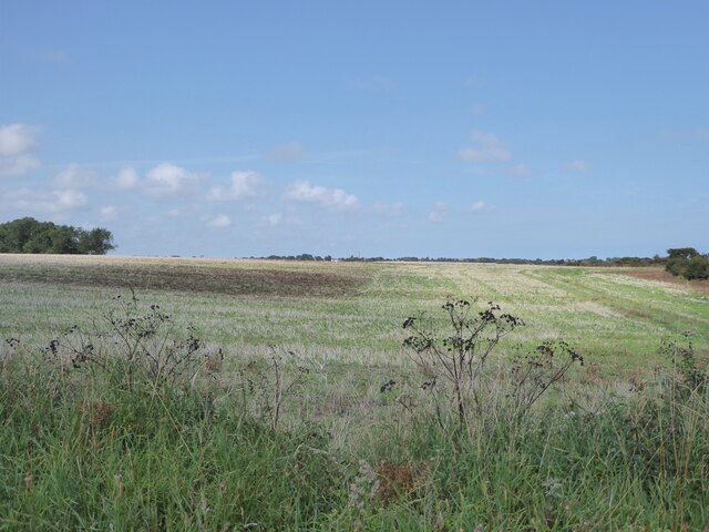
Beachfarm Marshes, located in Suffolk, England, is a picturesque coastal marshland renowned for its diverse ecosystem and scenic beauty. Stretching over a vast expanse of approximately 500 hectares, the marshes feature a unique combination of salt marshes and saltings, making it a haven for a wide range of flora and fauna.

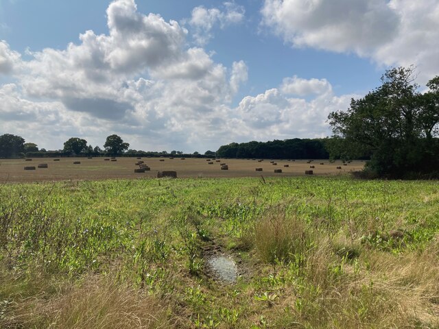
The marshes are characterized by their intricate network of creeks and channels, which are constantly shaped and molded by the ebb and flow of the tides. This dynamic interaction between land and sea has resulted in the formation of a rich and fertile habitat that supports a plethora of plant species, including sea lavender, samphire, and various types of grasses.

The marshes are not only home to a diverse range of plant life but also provide a sanctuary for numerous bird species. From wading birds such as avocets, redshanks, and curlews, to wintering wildfowl like teal and wigeon, the marshes attract a multitude of feathered visitors throughout the year. Additionally, the area serves as an important breeding ground for several bird species, including the rare marsh harrier.

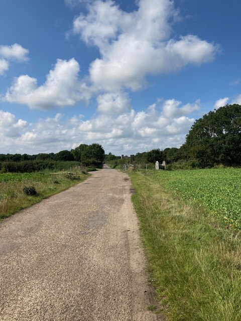
Nature enthusiasts and birdwatchers flock to Beachfarm Marshes, drawn by the opportunity to observe and appreciate the abundance of wildlife in their natural habitat. The marshes also offer a peaceful and serene environment, making it an ideal destination for those seeking tranquility amidst nature.

Managed by the Suffolk Wildlife Trust, efforts are made to preserve and protect the delicate balance of this unique ecosystem. Visitors are encouraged to follow designated trails and adhere to conservation guidelines to ensure the sustainable use of this remarkable coastal marshland.

If you have any feedback on the listing, please let us know in the comments section below.

Beachfarm Marshes Images

Images are sourced within 2km of 52.401719/1.7127523 or Grid Reference TM5284. Thanks to Geograph Open Source API. All images are credited.

Sailors' and Fishermen's Bethel, Kessingland
A short example of a crinkle-crankle wall At the entrance to Africa Live
A short example of a crinkle-crankle wall
At the entrance to Africa Live
Serpentine wall in Kessingland A serpentine or crinkle-crankle wall was initially designed to save bricks and reduce to cost of building walls. Suffolk seems to be the historical birthplace of the metamorphic remodelling of the straightforward into the curiously peculiar.
A wavy wall can be built with the thickness of a single brick and is self supporting even in very strong winds whereas a straight wall requires a thickness of at least two bricks (9 inches) and even buttresses if raised over about three feet.

Wikipedia has a few words to add: A crinkle crankle wall, also known as a crinkum crankum, slangenmuur  (snake-wall) sinusoidal, serpentine, ribbon or wavy wall, is an unusual type of structural or garden wall built in a serpentine shape with alternating curves, originally used in Ancient Egypt, but also typically found in Suffolk in England.
The alternate convex and concave curves in the wall provide stability and help it to resist lateral forces,  leading to greater strength than a straight wall of the same thickness of bricks without the need for buttresses.
The phrase "crinkle crankle" is an ablaut reduplication, defined as something with bends and turns, first attested in 1598 (though "crinkle" and "crankle" have somewhat longer histories).
Serpentine wall in Kessingland
A serpentine or crinkle-crankle wall was initially designed to save bricks and reduce to cost of building walls. Suffolk seems to be the historical birthplace of the metamorphic remodelling of the straightforward into the curiously peculiar. A wavy wall can be built with the thickness of a single brick and is self supporting even in very strong winds whereas a straight wall requires a thickness of at least two bricks (9 inches) and even buttresses if raised over about three feet. Wikipedia has a few words to add: A crinkle crankle wall, also known as a crinkum crankum, slangenmuur (snake-wall) sinusoidal, serpentine, ribbon or wavy wall, is an unusual type of structural or garden wall built in a serpentine shape with alternating curves, originally used in Ancient Egypt, but also typically found in Suffolk in England. The alternate convex and concave curves in the wall provide stability and help it to resist lateral forces, leading to greater strength than a straight wall of the same thickness of bricks without the need for buttresses. The phrase "crinkle crankle" is an ablaut reduplication, defined as something with bends and turns, first attested in 1598 (though "crinkle" and "crankle" have somewhat longer histories).
Benacre Broad
Benacre Broad
Beach at Benacre
Beach at Benacre
Fallen trees on the beach
Beach Farm
Beach Farm
Looking towards Amos's Skirts plantation The blades of the wind turbines are just visible above the trees
Looking towards Amos's Skirts plantation
The blades of the wind turbines are just visible above the trees
Looking towards Benacre Church
Looking towards Hall Farm
Bales in the field near Hall Farm
Pillbox on the beach near Benacre
Field near Beach Farm Kessingland is in the far distance
Field near Beach Farm
Kessingland is in the far distance
Pillbox near Beach Farm, Benacre I believe this is a Vickers Machine Gun Pillbox dating from WWII: <span class="nowrap"><a title="https://www.tracesofwar.com/sights/23917/Vickers-MG-Pillbox-Benacre.htm" rel="nofollow ugc noopener" href="https://www.tracesofwar.com/sights/23917/Vickers-MG-Pillbox-Benacre.htm">Link</a><img style="margin-left:2px;" alt="External link" title="External link - shift click to open in new window" src="https://s1.geograph.org.uk/img/external.png" width="10" height="10"/></span>
Pillbox near Beach Farm, Benacre
I believe this is a Vickers Machine Gun Pillbox dating from WWII: LinkExternal link
Farmhouse at Beach Farm
Kessingland Church Seen in the distance from the Suffolk Coast Path near Benacre
Kessingland Church
Seen in the distance from the Suffolk Coast Path near Benacre
Church of St. Edmund, Kessingland <span class="nowrap"><a title="https://historicengland.org.uk/listing/the-list/list-entry/1182858?section=official-list-entry" rel="nofollow ugc noopener" href="https://historicengland.org.uk/listing/the-list/list-entry/1182858?section=official-list-entry">Link</a><img style="margin-left:2px;" alt="External link" title="External link - shift click to open in new window" src="https://s1.geograph.org.uk/img/external.png" width="10" height="10"/></span>
Church of St. Edmund, Kessingland
Water Tower and Allotments at Kessingland
Show me another place!

Beachfarm Marshes is located at Grid Ref: TM5284 (Lat: 52.401719, Lng: 1.7127523)

Administrative County: Suffolk

District: East Suffolk

Police Authority: Suffolk

What 3 Words

///majoring.buns.rising. Near Kessingland, Suffolk

Related Wikis

The Sunrise Coast

The Sunrise Coast is a stretch of tourist coastline in the English county of Suffolk. The area includes the seaside resort towns of Lowestoft and Southwold...

Benacre, Suffolk

Benacre is a village and civil parish in the East Suffolk district of the English county of Suffolk. The village is located about 5+3⁄4 miles (9 km) south...

Benacre Broad

Benacre Broad is an isolated coastal lagoon on the North Sea coast of the English county of Suffolk. It is located in the parish of Benacre around 1⁄2...

Africa Alive!

Africa Alive! Zoological Reserve, formerly known as Africa Alive! and Suffolk Wildlife Park, is a zoo located in Kessingland, Suffolk, UK. It is situated...

Have you been to Beachfarm Marshes?

Leave your review of Beachfarm Marshes below (or comments, questions and feedback).