Blundeston Marshes

Coastal Marsh, Saltings in Suffolk East Suffolk

England

Blundeston Marshes

River Waveney near Lowestoft
River Waveney near Lowestoft Credit: David Medcalf

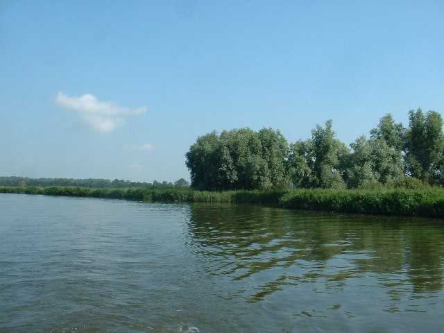
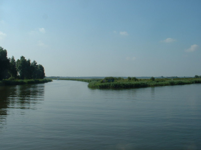
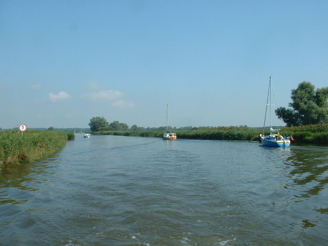
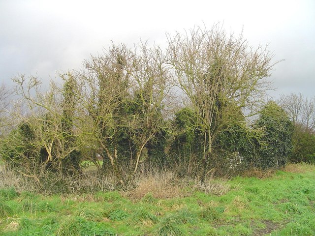
Blundeston Marshes, located in Suffolk, England, is a picturesque coastal marshland known for its unique ecosystem and stunning natural beauty. Spanning over a vast area, the marshes are composed of both saltwater and freshwater habitats, making it a diverse and important site for wildlife conservation.

The marshes consist of a complex network of tidal creeks, salt marshes, and mudflats. These habitats support a rich variety of plant and animal species, attracting nature enthusiasts and birdwatchers from all over the world. During high tides, the marshes are flooded with seawater, creating a dynamic environment that is constantly changing with the tides.

One of the key features of Blundeston Marshes is the presence of salt marshes and saltings. These areas are characterized by the growth of salt-tolerant plants such as samphire and sea lavender. The saltings serve as a vital feeding ground for numerous bird species, including waders, geese, and ducks. Rare species like the avocet and the marsh harrier can also be spotted here.

The marshes are also home to a variety of mammals, including water voles, otters, and hares. In addition, the creeks and mudflats provide an ideal habitat for a diverse range of fish and invertebrates.

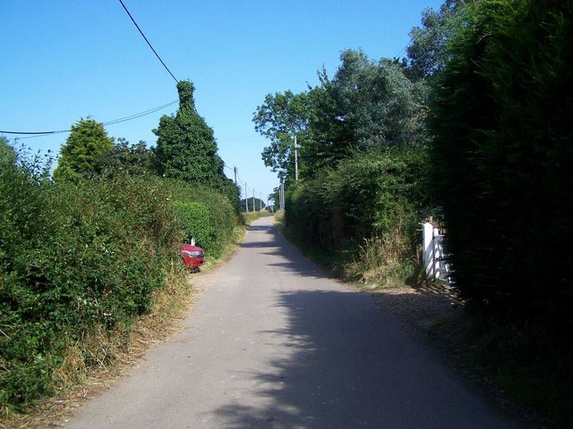
Blundeston Marshes offer several walking trails and observation points, allowing visitors to explore this unique landscape and observe its wildlife up close. The site is managed by local conservation groups and is open to the public, providing an opportunity to appreciate and learn about the importance of coastal marshlands and their ecological significance.

If you have any feedback on the listing, please let us know in the comments section below.

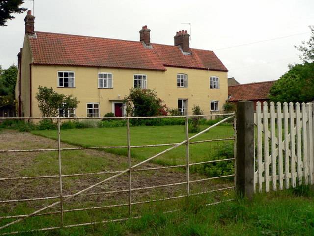
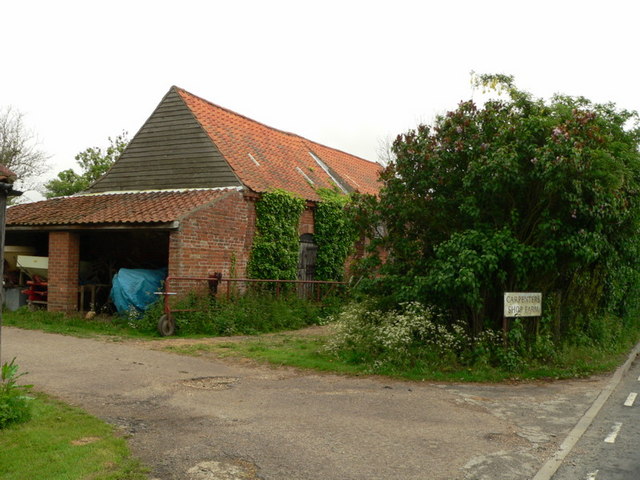
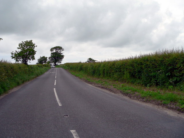
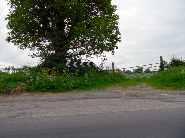
Blundeston Marshes Images

Images are sourced within 2km of 52.500868/1.6829066 or Grid Reference TM5095. Thanks to Geograph Open Source API. All images are credited.

River Waveney near Lowestoft
Junction of Oulton Dyke and River Waveney Oulton Dyke goes straight ahead.
Junction of Oulton Dyke and River Waveney
Oulton Dyke goes straight ahead.
Oulton Dyke Looking back to the junction with the River Waveney.
Oulton Dyke
Looking back to the junction with the River Waveney.
St Mary the Virgin, Blundeston St Mary the Virgin, Blundeston with St Andrew Flixton.
St Mary the Virgin, Blundeston
St Mary the Virgin, Blundeston with St Andrew Flixton.
Carpenter's Shop Farm nr. Blundeston, Suffolk
Barn at Carpenter's Shop Farm nr. Blundeston
Sharp bend on Blundeston Road B1074
Sharp Bend on Blundeston Road B1074
Unsuitable for motors Public footpath off the B1074 near to Oulton, Suffolk.
Unsuitable for motors
Public footpath off the B1074 near to Oulton, Suffolk.
Sharp bend Sharp bend on the B1074 as seen from Hall lane near to Camps Heath, Suffolk.
Sharp bend
Sharp bend on the B1074 as seen from Hall lane near to Camps Heath, Suffolk.
Track To Old Hall, Oulton
Run! Two calves run from the scary train
Run!
Two calves run from the scary train
View across field beside Pound Lane
Ruins of Flixton St Andrew's church In 1703 the roof of the church was blown off during a hurricane and it was never repaired. It was abandoned and left to the elements. Most of what remains is rubble and a few walls of the west end.
Ruins of Flixton St Andrew's church
In 1703 the roof of the church was blown off during a hurricane and it was never repaired. It was abandoned and left to the elements. Most of what remains is rubble and a few walls of the west end.
Footpath junction by Blundeston Marshes The east-west path crosses a farm track serving the marshes at this point and another path follows the farm track up to the Angles Way, which is the direction the arrow marker is indicating.
Footpath junction by Blundeston Marshes
The east-west path crosses a farm track serving the marshes at this point and another path follows the farm track up to the Angles Way, which is the direction the arrow marker is indicating.
Track to Blundeston Marshes The farm track continues descending until it reaches the level of the marshes. In the centre background the Norfolk side of the Waveney valley can just be made out.
Track to Blundeston Marshes
The farm track continues descending until it reaches the level of the marshes. In the centre background the Norfolk side of the Waveney valley can just be made out.
Farm Track and Footpath The footpath heading towards the Angles Way ascends with the farm track from the level of the marshes.
Farm Track and Footpath
The footpath heading towards the Angles Way ascends with the farm track from the level of the marshes.
Footpath Marker near Blundeston Marshes The map shows the Angles Way following the course of the farm track further north of here but the marker post indicates that the path nearer the marshes is the Angles Way!
Footpath Marker near Blundeston Marshes
The map shows the Angles Way following the course of the farm track further north of here but the marker post indicates that the path nearer the marshes is the Angles Way!
Show me another place!

Blundeston Marshes is located at Grid Ref: TM5095 (Lat: 52.500868, Lng: 1.6829066)

Administrative County: Suffolk

District: East Suffolk

Police Authority: Suffolk

What 3 Words

///boards.suppose.stem. Near Hopton on Sea, Norfolk

Related Wikis

Mutford and Lothingland Hundred

Mutford and Lothingland was a hundred of Suffolk, with an area of 33,368 acres (135.04 km2). Lowestoft Ness, the most easterly point of Great Britain fell...

Mutford and Lothingland Rural District

Mutford and Lothingland Rural District was a rural district within the administrative county of East Suffolk between 1894 and 1934. It was created out...

Flixton, Lothingland

Flixton is a civil parish in the north of the English county of Suffolk. It is 2 miles (3.2 km) north-east of Lowestoft in the East Suffolk district. The...

HM Prison Blundeston

HM Prison Blundeston was a Category C men's prison, located in the Village of Blundeston in Suffolk, England. The prison was operated by Her Majesty's...

Nearby Amenities

Located within 500m of 52.500868,1.6829066
Footpath
Hiking: yes
Information: guidepost
Material: wood
Tourism: information
Lat/Long: 52.505102/1.6847364
Access: private
Barrier: block
Email: prow.east@suffolk.gov.uk
End Date: 2023-11-01
Material: plastic
Note: Footpath closed because of unsafe bridge
Phone: +44 1728 652420
Start Date: 2023-08-21
Lat/Long: 52.5027369/1.684127
The Angles Way
Hiking: yes
Information: guidepost
Material: wood
Tourism: information
Lat/Long: 52.5026934/1.6843045
The data included in this document is from www.openstreetmap.org. The data is made available under ODbL.

Have you been to Blundeston Marshes?

Leave your review of Blundeston Marshes below (or comments, questions and feedback).