Botany Marshes

Coastal Marsh, Saltings in Suffolk East Suffolk

England

Botany Marshes

Southwold Pier Wikipedia article: <span class="nowrap"><a title="https://en.wikipedia.org/wiki/Southwold_Pier" rel="nofollow ugc noopener" href="https://en.wikipedia.org/wiki/Southwold_Pier">Link</a><img style="margin-left:2px;" alt="External link" title="External link - shift click to open in new window" src="https://s1.geograph.org.uk/img/external.png" width="10" height="10"/></span>
Southwold Pier Credit: Roger Jones

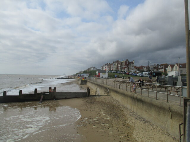
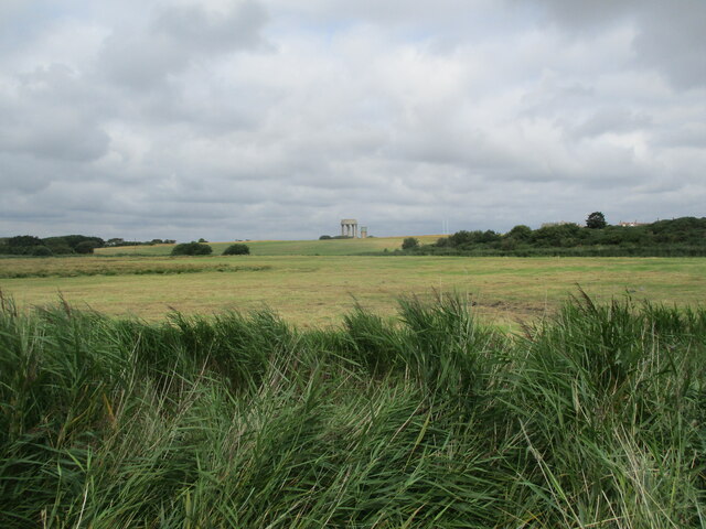
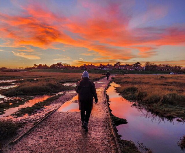
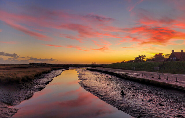
Botany Marshes is a picturesque coastal marshland located in Suffolk, England. This stunning natural reserve stretches over an area of approximately 1,000 hectares and is renowned for its diverse and rich ecosystem. The marshes are situated along the coast, adjacent to the Alde and Ore Estuary, providing a unique habitat for a wide variety of plant and animal species.

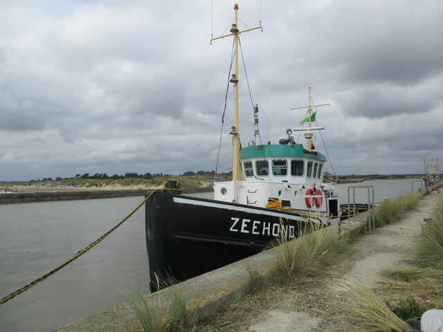
The marshes are predominantly made up of salt marshes and mudflats, also known as saltings, which are flooded by the tide twice daily. This constant ebb and flow of the tides creates a dynamic environment, supporting a wide range of flora and fauna. The marshes act as an important breeding and feeding ground for numerous bird species, including avocets, redshanks, and teal.

Botany Marshes are also home to an array of plant life that has adapted to the challenging conditions of the salt marsh. Species such as sea lavender, sea aster, and samphire thrive in the salty environment, creating a vibrant and colorful landscape during the warmer months.

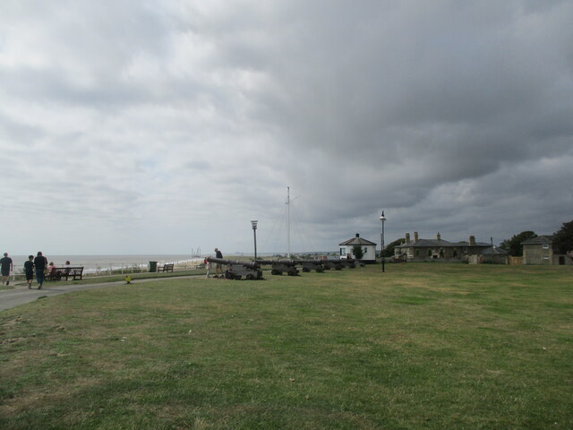
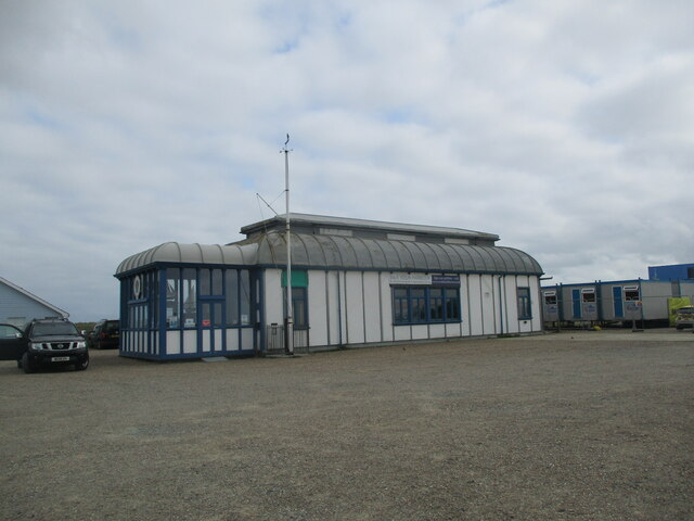
Aside from its ecological importance, the marshes also offer a peaceful and serene setting for visitors to enjoy. There are several walking trails and observation points that provide stunning views of the marshland, estuary, and the North Sea beyond. The reserve is a popular destination for birdwatching enthusiasts, nature lovers, and those seeking a tranquil escape.

Botany Marshes, with its unique coastal habitat and abundant wildlife, is a cherished natural reserve in Suffolk, attracting visitors from near and far who appreciate the beauty and diversity of this remarkable ecosystem.

If you have any feedback on the listing, please let us know in the comments section below.

Botany Marshes Images

Images are sourced within 2km of 52.33161/1.6647918 or Grid Reference TM4976. Thanks to Geograph Open Source API. All images are credited.

Southwold Pier Wikipedia article: <span class="nowrap"><a title="https://en.wikipedia.org/wiki/Southwold_Pier" rel="nofollow ugc noopener" href="https://en.wikipedia.org/wiki/Southwold_Pier">Link</a><img style="margin-left:2px;" alt="External link" title="External link - shift click to open in new window" src="https://s1.geograph.org.uk/img/external.png" width="10" height="10"/></span>
Southwold Pier
Wikipedia article: LinkExternal link
Lighthouse at Southwold Southwold Lighthouse was built by Trinity House in 1887 as a coastal mark for passing shipping and as a guide for vessels sailing into Southwold Harbour: <span class="nowrap"><a title="https://www.trinityhouse.co.uk/lighthouses-and-lightvessels/southwold-lighthouse" rel="nofollow ugc noopener" href="https://www.trinityhouse.co.uk/lighthouses-and-lightvessels/southwold-lighthouse">Link</a><img style="margin-left:2px;" alt="External link" title="External link - shift click to open in new window" src="https://s1.geograph.org.uk/img/external.png" width="10" height="10"/></span>
Lighthouse at Southwold
Southwold Lighthouse was built by Trinity House in 1887 as a coastal mark for passing shipping and as a guide for vessels sailing into Southwold Harbour: LinkExternal link
Pier  frontage
Pier frontage
Southwold  Pier
Southwold Pier
Southwold  sea  front  south  of  the  pier
Southwold sea front south of the pier
Cannon  on  Gunhill  Southwold
Cannon on Gunhill Southwold
Water  Towers  over  grazing  marshes  from  coastal  path
Water Towers over grazing marshes from coastal path
Southwold  Lifeboat  Station
Southwold Lifeboat Station
Tug  Zeehond  moored  on  River  Blyth
Tug Zeehond moored on River Blyth
Alfred  Corry  Lifeboat  Museum  Southwold
Alfred Corry Lifeboat Museum Southwold
Over  golf  course  to  Water  Tower  in  trees From Blyth Road
Over golf course to Water Tower in trees
From Blyth Road
Southwold  over  golf  course  from  Blyth  Road
Southwold over golf course from Blyth Road
Knitted  top  on  letterbox  at  road  junction Junction of Pier Avenue and Marlborough Road
Knitted top on letterbox at road junction
Junction of Pier Avenue and Marlborough Road
Southwold beach huts
Nearly Home Walking from the beach to the car park at Walberswick.
The stunning sky is about fifteen minutes after sunset in late November
Nearly Home
Walking from the beach to the car park at Walberswick. The stunning sky is about fifteen minutes after sunset in late November
The Dunwich River, at sunset This tidal waterway runs parallel with the coast to its outfall at Southwold Harbour.
The Dunwich River, at sunset
This tidal waterway runs parallel with the coast to its outfall at Southwold Harbour.
Lighthouse
Lighthouse
Southwold pier A moderately rough sea sweeps under Southwold's pier.
Southwold pier
A moderately rough sea sweeps under Southwold's pier.
Show me another place!

Botany Marshes is located at Grid Ref: TM4976 (Lat: 52.33161, Lng: 1.6647918)

Administrative County: Suffolk

District: East Suffolk

Police Authority: Suffolk

What 3 Words

///sandbags.photocopy.rested. Near Southwold, Suffolk

Related Wikis

Southwold railway station

Southwold railway station was located in Southwold, Suffolk. It closed in 1929, 50 years after it had opened for passenger traffic. The station was demolished...

Reydon

Reydon is a village and civil parish, 1.0 mile (1.6 km) north-west of Southwold and 2.5 miles (4.0 km) south-east of Wangford, in the East Suffolk district...
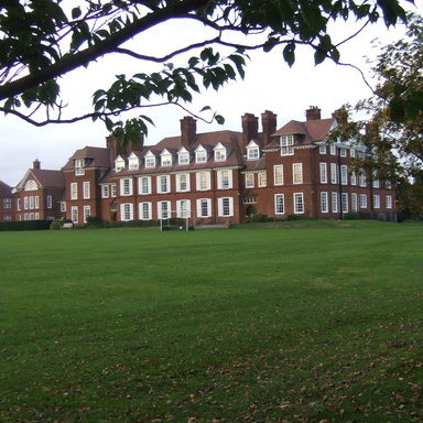
Saint Felix School

Saint Felix School is a 2–18 mixed, private, day and boarding school in Reydon, Southwold, Suffolk, England. The school was founded in 1897 as a school...

Blackshore Mill, Reydon

Blackshore Mill is a Grade II listed tower mill at Reydon, Suffolk, England which has been conserved. == History == Blackshore Mill was built c1890 by...

St Edmund's Church, Southwold

St Edmund's Church, Southwold is a Grade I listed parish church in the Church of England in Southwold, Suffolk. == History == The parish church of Southwold...

Adnams

Adnams is a regional brewery founded in 1872 in Southwold, Suffolk, England, by George and Ernest Adnams. It produces cask ale and bottled beers. Annual...
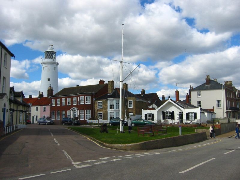
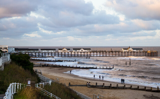
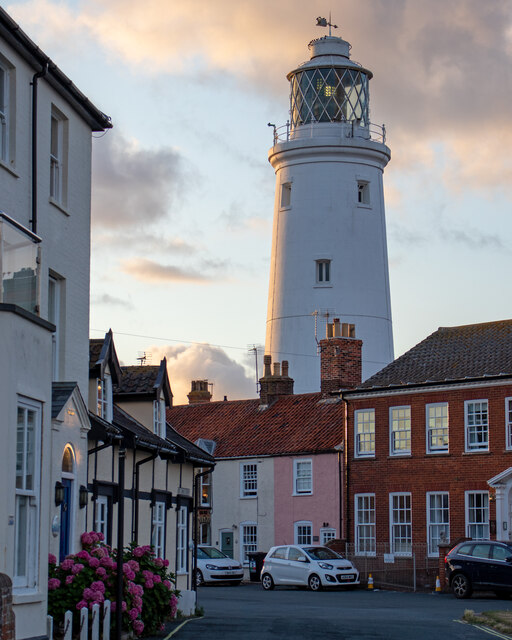
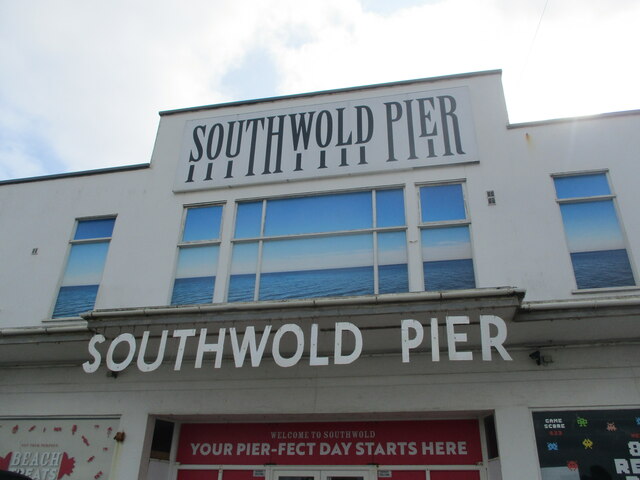
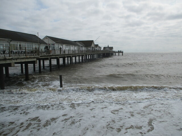
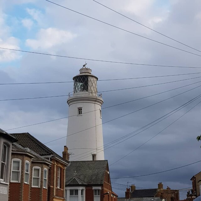
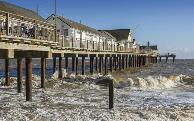
Southwold

Southwold is a seaside town on the North Sea in Suffolk, England. It lies at the mouth of the River Blyth in the Suffolk Coast and Heaths Area of Outstanding...

Southwold Town Hall

Southwold Town Hall is a municipal building in the Market Place in Southwold, Suffolk, England. The building, which is the meeting place of Southwold Town...

Nearby Amenities

Located within 500m of 52.33161,1.6647918
Bus Stop
The Drive
Naptan AtcoCode: 390070319
Naptan Bearing: W
Naptan CommonName: The Drive
Naptan Indicator: opp
Naptan Landmark: The Drive
Naptan NaptanCode: sufgwtaj
Naptan Street: Halesworth Road
Naptan Verified: no
Source: naptan_import
Lat/Long: 52.335278/1.6630988
Bus Stop
The Drive
Naptan AtcoCode: 390070320
Naptan Bearing: E
Naptan CommonName: The Drive
Naptan Indicator: adj
Naptan Landmark: The Drive
Naptan NaptanCode: sufgwtam
Naptan Street: Halesworth Road
Naptan Verified: no
Shelter: no
Source: naptan_import
Lat/Long: 52.3354227/1.6636541
Pillbox
Military: bunker
Lat/Long: 52.3333397/1.658522
Turning Circle
Lat/Long: 52.3324198/1.6615099
Post Box
Operator: Royal Mail
Operator Type: private
Operator Wikidata: Q638098
Post Box Mounting: pier
Post Box Type: lamp
Ref: IP18 5517
Royal Cypher: EIIR
Royal Cypher Wikidata: Q33102113
Lat/Long: 52.3351196/1.6690077
Post Box
Operator: Royal Mail
Operator Type: private
Operator Wikidata: Q638098
Post Box Mounting: brick_pillar
Post Box Type: wall
Ref: IP18 5565
Lat/Long: 52.3354358/1.6633161
Cafe
Southwold Railway Cafe
Website: https://www.southwoldrailway.co.uk/
Lat/Long: 52.3295867/1.6680901
Southwold Railway Trust
Addr City: Southwold
Addr Postcode: IP18 6AZ
Addr Street: Blyth Road
Museum: railway
Operator: Southwold Railway Trust
Tourism: museum
Website: https://www.southwoldrailway.co.uk/
Lat/Long: 52.3295516/1.6674698
Golf: pin
Ref: 1
Lat/Long: 52.3280398/1.6654264
Golf: tee
Ref: 2
Lat/Long: 52.3287623/1.6669755
Golf: pin
Ref: 4
Lat/Long: 52.3284635/1.6665791
Golf: tee
Ref: 5
Lat/Long: 52.3283883/1.6653976
Barrier: kissing_gate
Lat/Long: 52.3314096/1.6589235
The data included in this document is from www.openstreetmap.org. The data is made available under ODbL.

Have you been to Botany Marshes?

Leave your review of Botany Marshes below (or comments, questions and feedback).