Busscreek Marshes
Coastal Marsh, Saltings in Suffolk East Suffolk
England
Busscreek Marshes
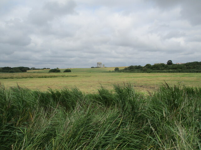
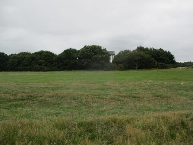
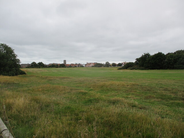
Busscreek Marshes is a coastal marshland located in the county of Suffolk, England. Situated along the coastline, it forms part of a larger protected area known as the Suffolk Coast and Heaths Area of Outstanding Natural Beauty.
The marshes are characterized by their unique ecosystem, consisting of salt marshes, mudflats, and tidal creeks. These habitats are crucial for a wide range of plant and animal species, many of which are specially adapted to thrive in the saline conditions. The marshes provide a vital breeding ground for various bird species, including waders such as redshanks, dunlins, and oystercatchers.
The area is also home to a diverse array of plant life, with species such as samphire, sea lavender, and sea aster being particularly abundant. These plants play an important role in maintaining the ecological balance of the marshes, as they help to stabilize the sediments and provide food and shelter for numerous organisms.
Busscreek Marshes offer a unique opportunity for visitors to experience the beauty and tranquility of a coastal marshland. There are several walking trails and observation points throughout the area, allowing visitors to explore and appreciate the rich biodiversity. The marshes are also a popular spot for birdwatching, with many enthusiasts flocking to the area to catch a glimpse of the various bird species that inhabit the marshes.
As a designated protected area, Busscreek Marshes are strictly managed and conserved to ensure the preservation of its delicate ecosystem. This ensures that future generations can continue to enjoy and appreciate the natural wonders of this unique coastal marshland.
If you have any feedback on the listing, please let us know in the comments section below.
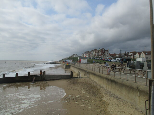
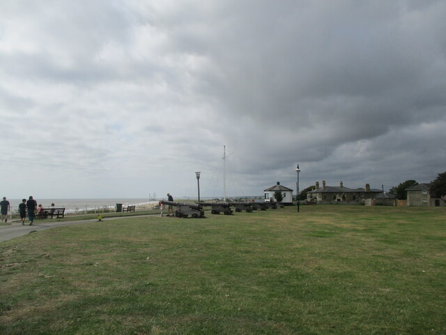
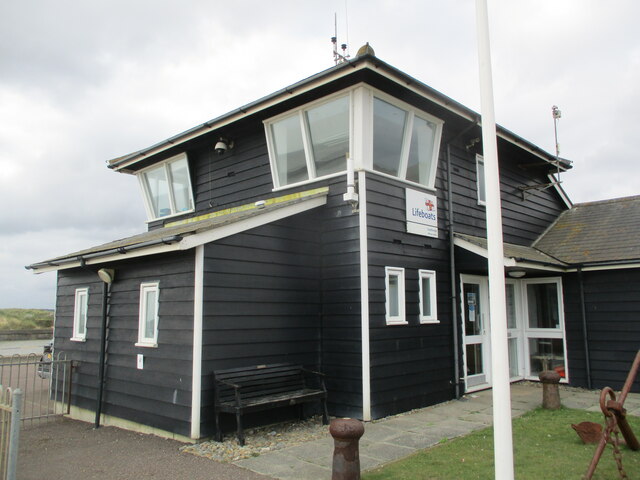
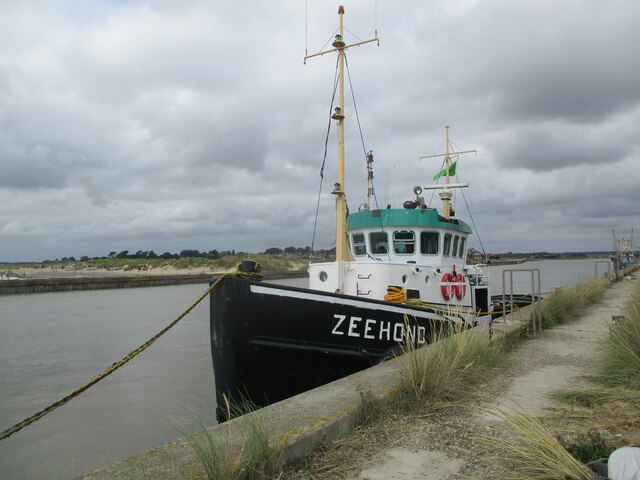
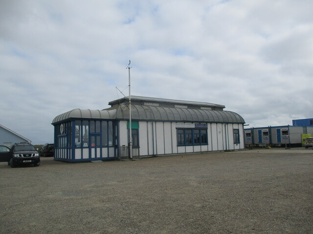
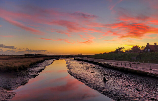
Busscreek Marshes Images
Images are sourced within 2km of 52.328372/1.6601635 or Grid Reference TM4976. Thanks to Geograph Open Source API. All images are credited.

Busscreek Marshes is located at Grid Ref: TM4976 (Lat: 52.328372, Lng: 1.6601635)
Administrative County: Suffolk
District: East Suffolk
Police Authority: Suffolk
What 3 Words
///offices.jazzy.drummers. Near Southwold, Suffolk
Nearby Locations
Related Wikis

Blackshore Mill, Reydon
Blackshore Mill is a Grade II listed tower mill at Reydon, Suffolk, England which has been conserved. == History == Blackshore Mill was built c1890 by...
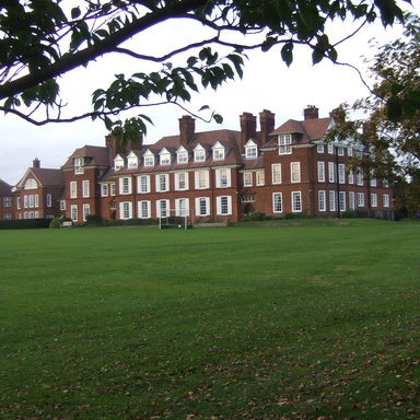
Saint Felix School
Saint Felix School is a 2–18 mixed, private, day and boarding school in Reydon, Southwold, Suffolk, England. The school was founded in 1897 as a school...
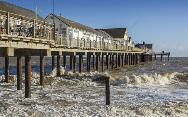
Walberswick railway station
Walberswick railway station was located in Walberswick, Suffolk, England. It closed in 1929, 50 years after it had opened for passenger traffic. ��2�...

Southwold railway station
Southwold railway station was located in Southwold, Suffolk. It closed in 1929, 50 years after it had opened for passenger traffic. The station was demolished...
Reydon
Reydon is a village and civil parish, 1.0 mile (1.6 km) north-west of Southwold and 2.5 miles (4.0 km) south-east of Wangford, in the East Suffolk district...

St Edmund's Church, Southwold
St Edmund's Church, Southwold is a Grade I listed parish church in the Church of England in Southwold, Suffolk. == History == The parish church of Southwold...
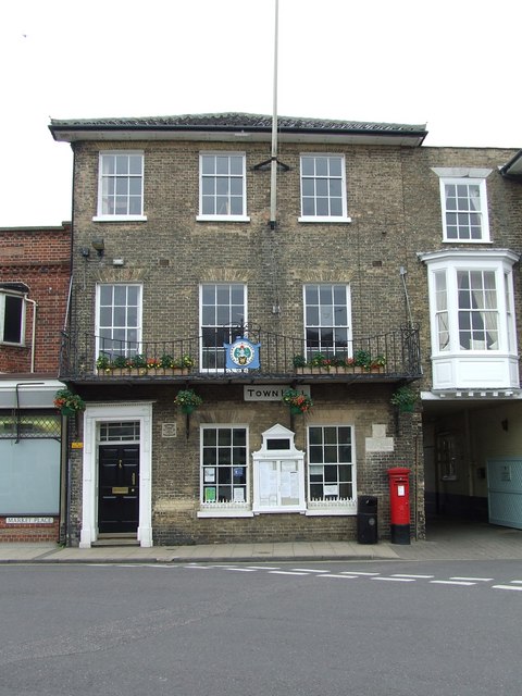
Southwold Town Hall
Southwold Town Hall is a municipal building in the Market Place in Southwold, Suffolk, England. The building, which is the meeting place of Southwold Town...
Adnams
Adnams is a regional brewery founded in 1872 in Southwold, Suffolk, England, by George and Ernest Adnams. It produces cask ale and bottled beers. Annual...
Nearby Amenities
Located within 500m of 52.328372,1.6601635Have you been to Busscreek Marshes?
Leave your review of Busscreek Marshes below (or comments, questions and feedback).