Corporation Marshes
Coastal Marsh, Saltings in Suffolk East Suffolk
England
Corporation Marshes
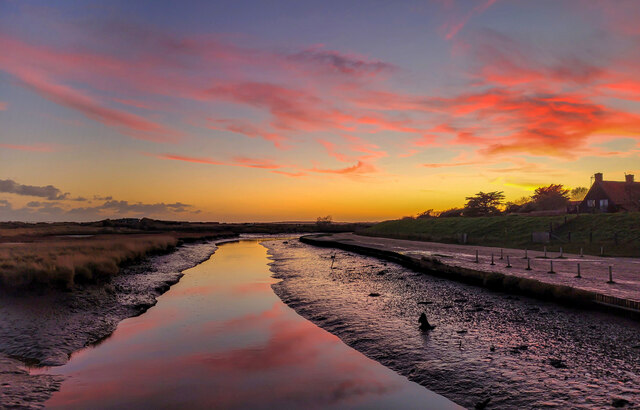
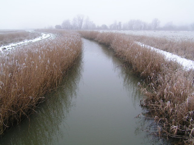
Corporation Marshes, located in Suffolk, England, is a stunning coastal marshland and saltings that stretches across a vast area. This natural wetland is known for its diverse ecosystem and unique habitat, making it an important site for wildlife conservation.
The marshes encompass a variety of habitats, including salt marshes, mudflats, sand dunes, and brackish lagoons. These different environments provide a home for a wide range of plant and animal species, many of which are rare and protected. The area is particularly renowned for its bird population, attracting numerous species throughout the year, including wading birds, waterfowl, and migratory birds.
The marshes are constantly influenced by the ebb and flow of the tides, creating a dynamic environment that supports a rich biodiversity. The salt marshes, for instance, are characterized by their salt-tolerant vegetation, such as saltwort and samphire, which provide food and shelter for many species. The mudflats are important feeding grounds for birds, as they are teeming with invertebrates like mollusks and worms.
Visitors to Corporation Marshes can enjoy a variety of activities, including birdwatching, hiking, and nature photography. There are well-maintained trails and observation points that offer panoramic views of the marshlands, allowing visitors to get close to the wildlife without disturbing their natural habitats.
The marshes are also of great ecological importance, as they act as a buffer zone against coastal erosion and storm surges, protecting the surrounding areas from flooding. The management and conservation of Corporation Marshes are overseen by local authorities and nature conservation organizations to ensure the long-term preservation of the ecosystem and its unique biodiversity.
If you have any feedback on the listing, please let us know in the comments section below.
Corporation Marshes Images
Images are sourced within 2km of 52.304035/1.6501717 or Grid Reference TM4873. Thanks to Geograph Open Source API. All images are credited.


Corporation Marshes is located at Grid Ref: TM4873 (Lat: 52.304035, Lng: 1.6501717)
Administrative County: Suffolk
District: East Suffolk
Police Authority: Suffolk
What 3 Words
///skidding.places.tries. Near Southwold, Suffolk
Related Wikis

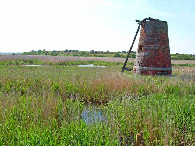
Westwood Marshes Mill, Walberswick
Westwood Marshes Mill is a Grade II listed tower mill at Walberswick, Suffolk, England which is derelict. == History == Westwood Marshes Mill was built...
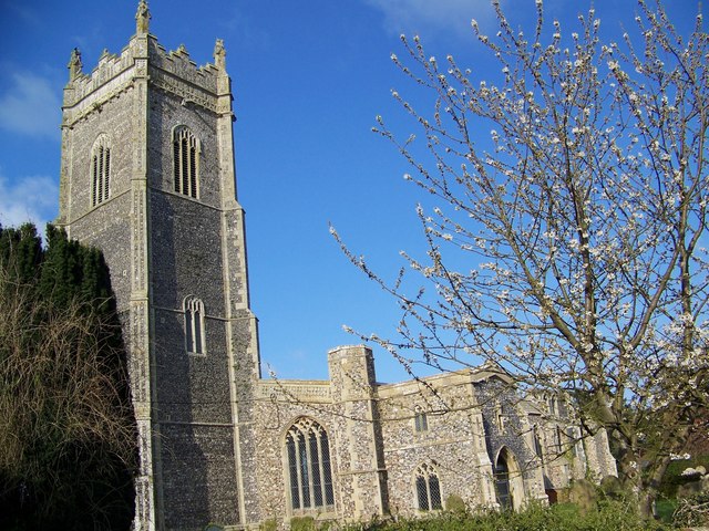
St Andrew's Church, Walberswick
St Andrew's Church is a Grade I listed building in Walberswick, Suffolk. It is an active parish church in the Church of England. == History == The church...
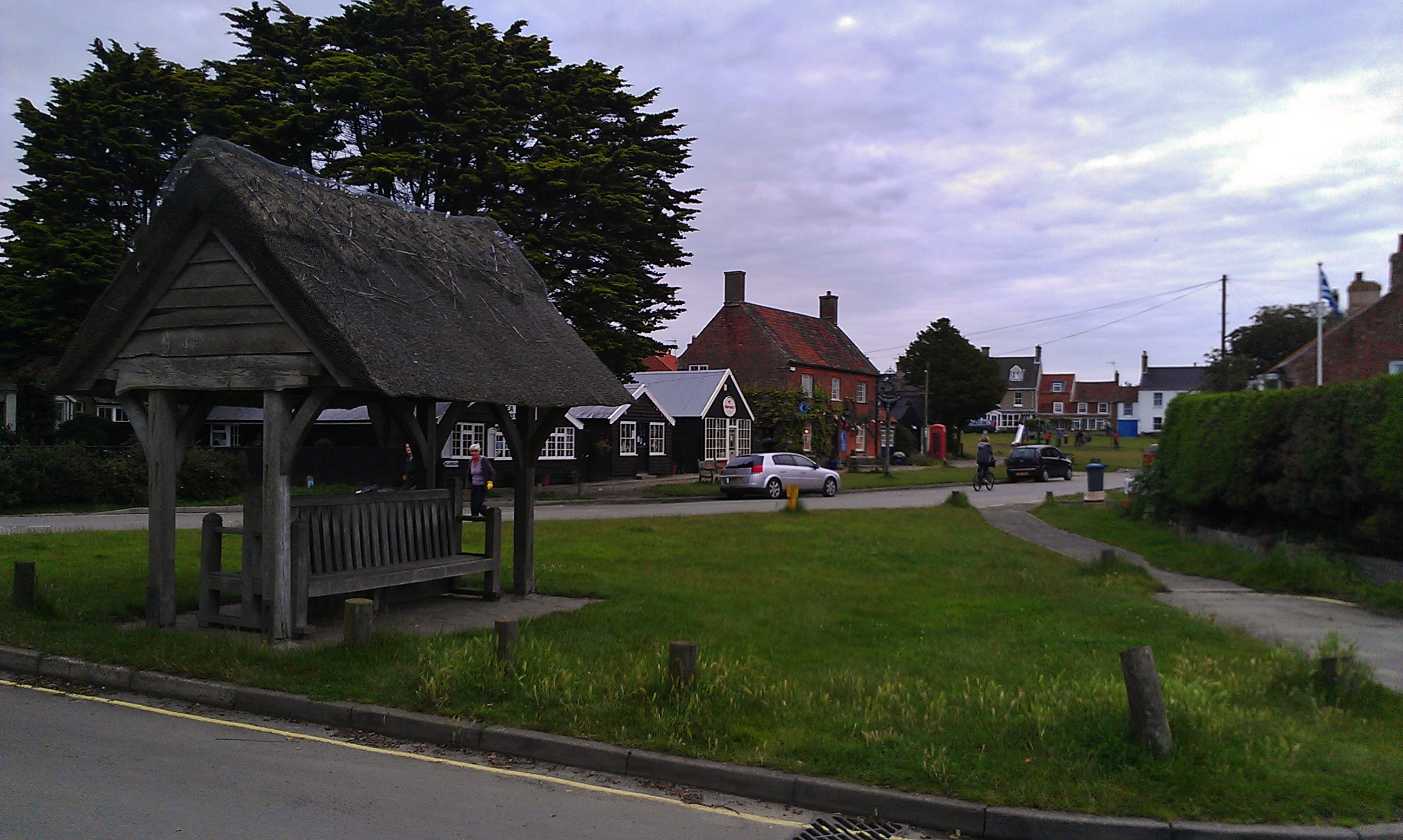
Walberswick
Walberswick is a village and civil parish on the Suffolk coast in England. It is at the mouth of the River Blyth on the south side of the river. The town...
Walberswick railway station
Walberswick railway station was located in Walberswick, Suffolk, England. It closed in 1929, 50 years after it had opened for passenger traffic. ��2�...
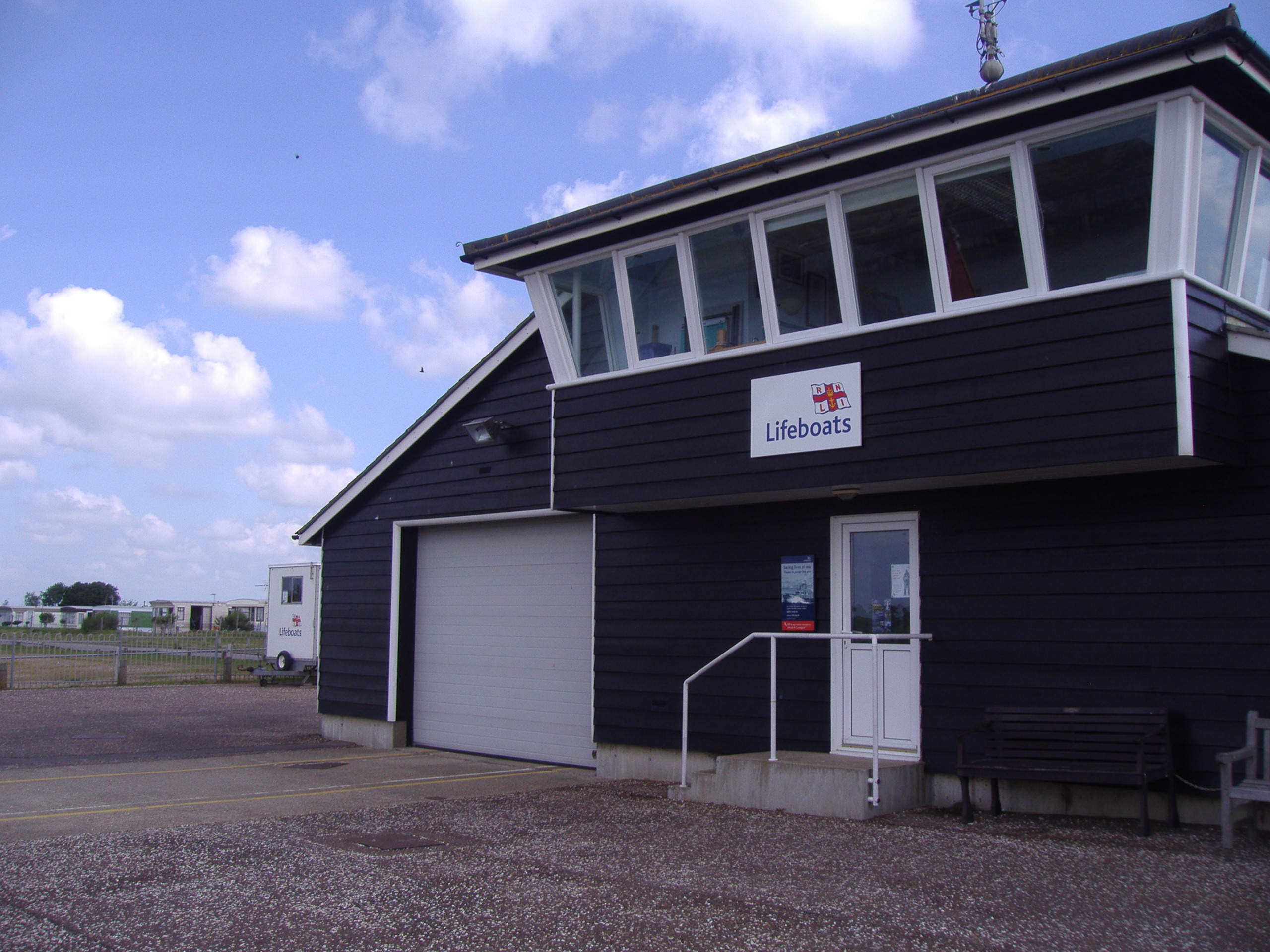
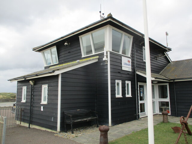
Southwold Lifeboat Station
Southwold Lifeboat Station is an RNLI operated lifeboat station located in the town of Southwold in the English county of Suffolk.The station operates...
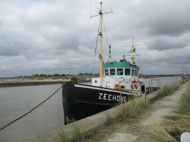
River Blyth, Suffolk
The River Blyth is a river in east Suffolk, England. Its source is near Laxfield and it reaches a tidal estuary between Southwold and Walberswick on the...
Suffolk Coast National Nature Reserve
Suffolk Coast National Nature Reserve is a wildlife reserve on the North Sea coast of the English county of Suffolk. It is located around the village of...

Blackshore Mill, Reydon
Blackshore Mill is a Grade II listed tower mill at Reydon, Suffolk, England which has been conserved. == History == Blackshore Mill was built c1890 by...
Nearby Amenities
Located within 500m of 52.304035,1.6501717Have you been to Corporation Marshes?
Leave your review of Corporation Marshes below (or comments, questions and feedback).