Burgh Marshes
Coastal Marsh, Saltings in Norfolk South Norfolk
England
Burgh Marshes
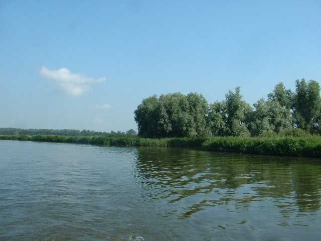
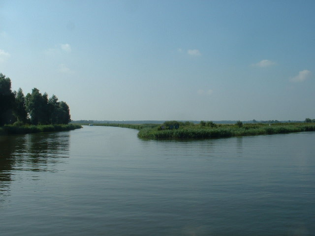
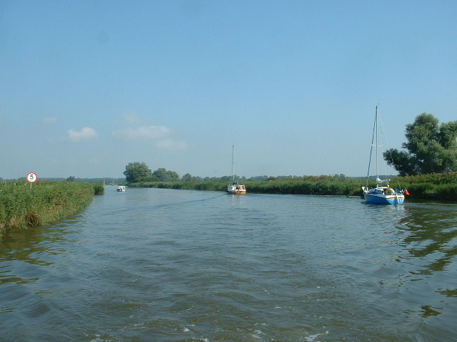
Burgh Marshes is a coastal marshland located in Norfolk, England. It is situated in the eastern part of the county, near the village of Burgh St Peter. The marshes cover an extensive area, stretching along the coastline and encompassing a range of habitats, including marshes and saltings.
The marshes are characterized by their flat, low-lying landscape, which is often subject to tidal flooding. This unique environment is created by the interaction between the land and the sea, making it an important area for wildlife and conservation.
The marshes are home to a wide variety of plant and animal species, many of which are adapted to survive in this challenging coastal environment. Common plant species found in the area include saltmarsh grasses, sea lavender, and samphire. These plants provide important habitats and food sources for a range of bird species, including wading birds, ducks, and geese.
Birdwatching is a popular activity in the Burgh Marshes, as it offers excellent opportunities to spot both resident and migratory bird species. The marshes are particularly renowned for their wintering populations of Brent geese and wigeons.
In addition to its ecological significance, the Burgh Marshes also play a role in flood prevention and coastal erosion control. The marshes act as a natural buffer, absorbing and dissipating storm surges and tidal waves, thus protecting the surrounding areas from potential damage.
Overall, Burgh Marshes in Norfolk is a remarkable coastal marshland, providing a diverse and dynamic habitat for numerous plant and animal species, as well as serving important ecological and protective functions.
If you have any feedback on the listing, please let us know in the comments section below.
Burgh Marshes Images
Images are sourced within 2km of 52.493033/1.6641256 or Grid Reference TM4894. Thanks to Geograph Open Source API. All images are credited.


Burgh Marshes is located at Grid Ref: TM4894 (Lat: 52.493033, Lng: 1.6641256)
Administrative County: Norfolk
District: South Norfolk
Police Authority: Norfolk
What 3 Words
///homecare.sushi.issued. Near Lowestoft, Suffolk
Nearby Locations
Related Wikis
Burgh St Peter
Burgh St Peter is a village and civil parish in the South Norfolk district of Norfolk, England. The village is about 3+1⁄2 miles (6 km) northeast of Beccles...

Somerleyton railway station
Somerleyton railway station is on the Wherry Lines in the east of England, serving the village of Somerleyton, Suffolk. It is 18 miles (29 km) down the...

Oulton Dyke
Oulton Dyke is a freshwater stretch of water in the Norfolk Broads, located in Suffolk within the United Kingdom. The dyke connects Oulton Broad near Lowestoft...
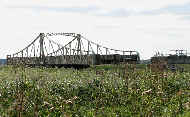
Somerleyton Swing Bridge
Somerleyton Swing Bridge is a railway swing bridge over the River Waveney on the Norfolk-Suffolk border. It was built in 1905 to carry the double tracked...
Have you been to Burgh Marshes?
Leave your review of Burgh Marshes below (or comments, questions and feedback).