Chedgrave Marshes
Coastal Marsh, Saltings in Norfolk South Norfolk
England
Chedgrave Marshes

Chedgrave Marshes is a coastal marshland located in Norfolk, England. It is situated along the banks of the River Chet, which flows into the larger River Yare and eventually out into the North Sea. The marshes are part of a protected area known as the Norfolk Broads, which is renowned for its diverse wildlife and unique ecosystem.
The marshes consist of a combination of salt marshes and saltings, making it a valuable habitat for numerous plant and animal species. The salt marshes are characterized by their low-lying, muddy terrain, which is regularly flooded by the tides. This creates a dynamic environment where various species have adapted to survive in the changing conditions.
The vegetation in Chedgrave Marshes is predominantly salt-tolerant, with plants such as samphire, sea lavender, and sea aster thriving in the salty soil. These plants provide food and shelter for a variety of bird species, including wading birds and waterfowl. During the winter months, the marshes become an important feeding ground for migratory birds, such as Brent geese and wigeons.
The marshes also support a wealth of invertebrate life, including crustaceans, mollusks, and insects. These invertebrates serve as a food source for many bird species and contribute to the overall biodiversity of the area.
Chedgrave Marshes is not only significant for its ecological value but also for its contribution to flood prevention. The marshes act as a natural buffer, absorbing excess water during times of high tide or heavy rainfall, thus reducing the risk of flooding in nearby communities.
Overall, Chedgrave Marshes is a vital coastal marshland that plays a crucial role in supporting wildlife, regulating water levels, and enhancing the natural beauty of the Norfolk Broads.
If you have any feedback on the listing, please let us know in the comments section below.
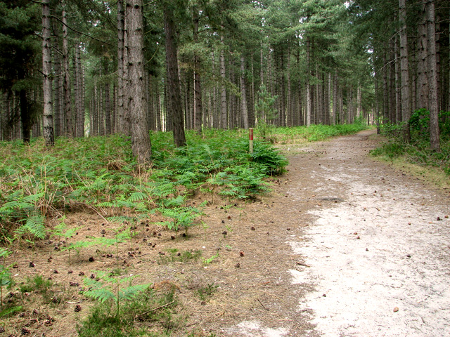
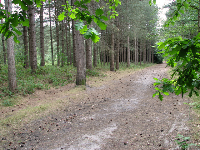
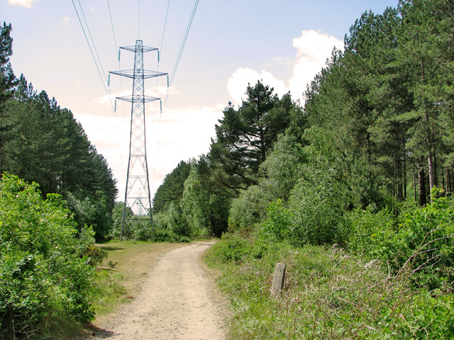
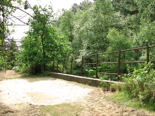
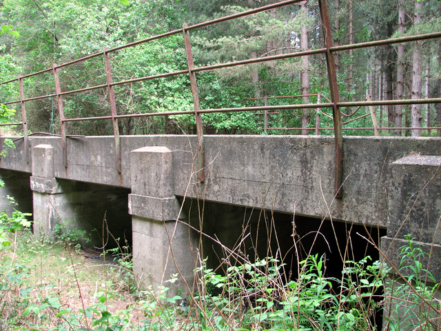
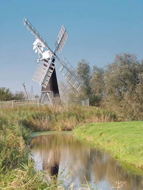
Chedgrave Marshes Images
Images are sourced within 2km of 52.555235/1.6036872 or Grid Reference TG4401. Thanks to Geograph Open Source API. All images are credited.


Chedgrave Marshes is located at Grid Ref: TG4401 (Lat: 52.555235, Lng: 1.6036872)
Administrative County: Norfolk
District: South Norfolk
Police Authority: Norfolk
What 3 Words
///regrowth.animator.interacts. Near Reedham, Norfolk
Nearby Locations
Related Wikis

Reedham Swing Bridge
Reedham Swing Bridge, on the site of a Victorian swing bridge, is still in use at Reedham, Norfolk, England.It carries the Wherry railway line, between...

St Olaves Priory, Herringfleet
Herringfleet Priory (also St Olave's Priory) was an Augustinian priory of Black Canons located in St Olaves, 6 miles (9.7 km) north-west of Lowestoft in...
St Olaves
St Olaves is a village in the English county of Norfolk. The village is situated on the River Waveney, 6 miles (10 km) south-west of the town of Great...
Reedham, Norfolk
Reedham is a village and civil parish in the English county of Norfolk and within The Broads. It is on the north bank of the River Yare, some 12 miles...
Have you been to Chedgrave Marshes?
Leave your review of Chedgrave Marshes below (or comments, questions and feedback).