Sudbourne Marshes

Coastal Marsh, Saltings in Suffolk East Suffolk

England

Sudbourne Marshes

Pumping Station of some kind on Orford Ness Seen from Lady Florence river boat steaming up the River Ore towards Aldeburgh.
Pumping Station of some kind on Orford Ness Credit: Peter Facey

Sudbourne Marshes is a coastal marsh and saltings located in Suffolk, England. Spanning an area of approximately 200 acres, it is situated on the eastern side of the River Alde estuary, just south of the village of Sudbourne.

The marshes are characterized by their diverse and unique ecosystem, making them a significant site for wildlife conservation. The area is a combination of saltmarsh, reedbeds, and open water, providing a suitable habitat for a wide range of plant and animal species. The saltmarshes are dominated by salt-tolerant plants such as sea aster, sea lavender, and cordgrass, while the reedbeds are home to reed warblers, bearded tits, and marsh harriers.

The marshes are an important breeding ground and stopover site for migratory birds, attracting species such as avocets, redshanks, and curlews. They also provide a haven for rare and endangered species, including the fen orchid and the southern damselfly.

In addition to its ecological significance, Sudbourne Marshes offer recreational opportunities for visitors. There are several walking trails and observation points throughout the area, allowing visitors to explore and appreciate the natural beauty of the marshes. The peaceful and serene atmosphere makes it an ideal location for birdwatching, photography, and nature enthusiasts.

Managed by a local conservation organization, Sudbourne Marshes play a vital role in protecting and preserving the fragile coastal ecosystem of Suffolk. Through careful management and conservation efforts, the marshes continue to thrive and provide a valuable habitat for a diverse range of flora and fauna.

If you have any feedback on the listing, please let us know in the comments section below.

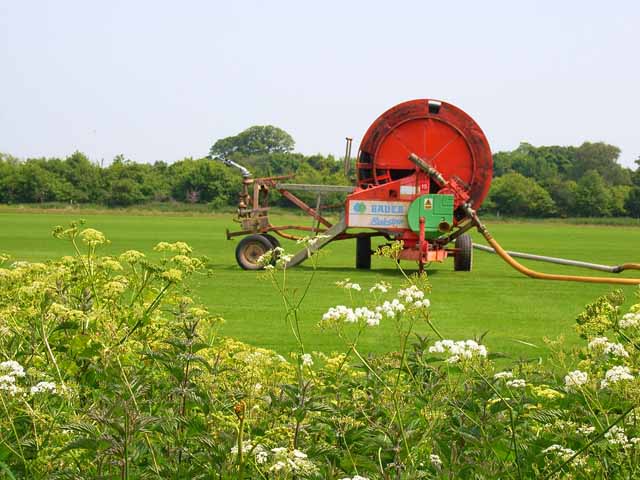
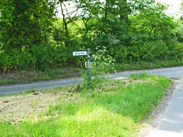
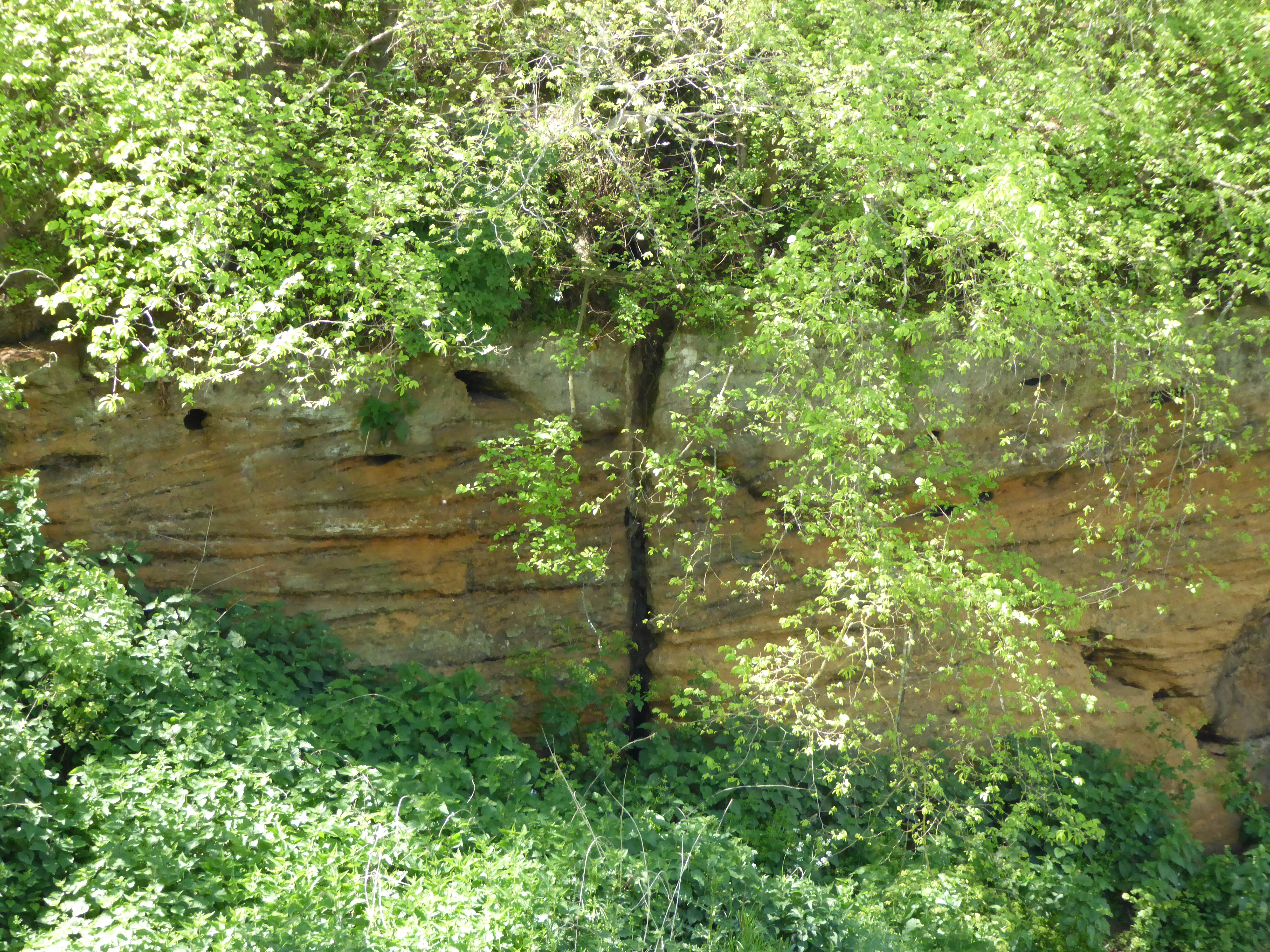
Sudbourne Marshes Images

Images are sourced within 2km of 52.118236/1.5653172 or Grid Reference TM4452. Thanks to Geograph Open Source API. All images are credited.

Pumping Station of some kind on Orford Ness Seen from Lady Florence river boat steaming up the River Ore towards Aldeburgh.
Pumping Station of some kind on Orford Ness
Seen from Lady Florence river boat steaming up the River Ore towards Aldeburgh.
Line of five radio masts on Orford Ness These five triangular, self-supporting masts were used to transmit the BBC World Service to Europe on a frequency of 648 KHz. At time of photographing they appeared to have no aerials attached to them. <span class="nowrap"><a title="https://en.wikipedia.org/wiki/Orfordness_transmitting_station" rel="nofollow ugc noopener" href="https://en.wikipedia.org/wiki/Orfordness_transmitting_station">Link</a><img style="margin-left:2px;" alt="External link" title="External link - shift click to open in new window" src="https://s1.geograph.org.uk/img/external.png" width="10" height="10"/></span>
Seen from Lady Florence river boat streaming up the River Ore towards Aldeburgh.
Line of five radio masts on Orford Ness
These five triangular, self-supporting masts were used to transmit the BBC World Service to Europe on a frequency of 648 KHz. At time of photographing they appeared to have no aerials attached to them. LinkExternal link Seen from Lady Florence river boat streaming up the River Ore towards Aldeburgh.
Landward side of coastal defence on Orford Ness I understand this defence consists of rocks from Norway piled up and then covered with shingle. Seen from Lady Florence river boat steaming up the River Ore towards Aldeburgh.
Landward side of coastal defence on Orford Ness
I understand this defence consists of rocks from Norway piled up and then covered with shingle. Seen from Lady Florence river boat steaming up the River Ore towards Aldeburgh.
Red House Farm, near Sudbourne, Suffolk Looking due east.  On the horizon can just be seen the shingle bank and North Sea.
Red House Farm, near Sudbourne, Suffolk
Looking due east. On the horizon can just be seen the shingle bank and North Sea.
"The Perfect Lawn" - near Sudbourne, Suffolk The light sandy soil in this area is ideal for growing lawn turf. They even manage to get the stripe effect of the perfect lawn!
"The Perfect Lawn" - near Sudbourne, Suffolk
The light sandy soil in this area is ideal for growing lawn turf. They even manage to get the stripe effect of the perfect lawn!
Thyme Cottage near Sudbourne
One enormous garden hose Industrial size for irrigating the fields. Near Sudbourne.
One enormous garden hose
Industrial size for irrigating the fields. Near Sudbourne.
Suffolk Coastal Cycle Route near Sudbourne The small green signs indicate the Suffolk Coastal Cycle Route, an 88 mile circuit in east Suffolk.
Suffolk Coastal Cycle Route near Sudbourne
The small green signs indicate the Suffolk Coastal Cycle Route, an 88 mile circuit in east Suffolk.
A walk to the River Alde, Suffolk This photograph shows the track/public footpath that leads to Westrow Reach on the River Alde in Suffolk. Approximately 100m behind the photographer’s viewpoint is the unclassified road from which, at a right-angled bend, the track begins. Ahead the track turns off to Cowton Farm whilst the public footpath continues towards the river.
A walk to the River Alde, Suffolk
This photograph shows the track/public footpath that leads to Westrow Reach on the River Alde in Suffolk. Approximately 100m behind the photographer’s viewpoint is the unclassified road from which, at a right-angled bend, the track begins. Ahead the track turns off to Cowton Farm whilst the public footpath continues towards the river.
Wartime Radio/Radar station on Orford Ness Taken from about 1 mile south of Martello Tower at Aldeburgh
Wartime Radio/Radar station on Orford Ness
Taken from about 1 mile south of Martello Tower at Aldeburgh
Private - no public right of way Sign on the gate barring access along this sandy track.
Private - no public right of way
Sign on the gate barring access along this sandy track.
Telegraph poles marching over farmland Land adjacent to Crag Farm.
Telegraph poles marching over farmland
Land adjacent to Crag Farm.
A Sudden View A view of Sudbourne Marshes from a gap in the tall hedgerow.
A Sudden View
A view of Sudbourne Marshes from a gap in the tall hedgerow.
Bottoms up! Sheep grazing on marshland.
Bottoms up!
Sheep grazing on marshland.
Crag Farmhouse This imposing farmhouse has fantastic views over Sudbourne Marshes.
Crag Farmhouse
This imposing farmhouse has fantastic views over Sudbourne Marshes.
Job done! This farm machinery sits in a field adjacent to Sudbourne Marshes.
Job done!
This farm machinery sits in a field adjacent to Sudbourne Marshes.
All rolled up! Long lines of straw bales lined up in front of Chaplin's Carr.
All rolled up!
Long lines of straw bales lined up in front of Chaplin's Carr.
Step this way please. The bridleway signs clearly mark the way ahead.
Step this way please.
The bridleway signs clearly mark the way ahead.
Show me another place!

Sudbourne Marshes is located at Grid Ref: TM4452 (Lat: 52.118236, Lng: 1.5653172)

Administrative County: Suffolk

District: East Suffolk

Police Authority: Suffolk

What 3 Words

///transmit.protrude.mess. Near Aldeburgh, Suffolk

Related Wikis

Valley Farm Pit, Sudbourne

Valley Farm Pit, Sudbourne is a 0.5-hectare (1.2-acre) geological Site of Special Scientific Interest north of Orford in Suffolk. It is a Geological Conservation...

Crag Farm Pit, Sudbourne

Crag Farm Pit, Sudbourne is a 4.8-hectare (12-acre) geological Site of Special Scientific Interest east of Sudbourne in Suffolk. It is a Geological Conservation...

Captain's Wood

Captain's Wood is a 62 hectare nature reserve in Sudbourne in Suffolk. It is owned and managed by the Suffolk Wildlife Trust. This site has woodland, rough...
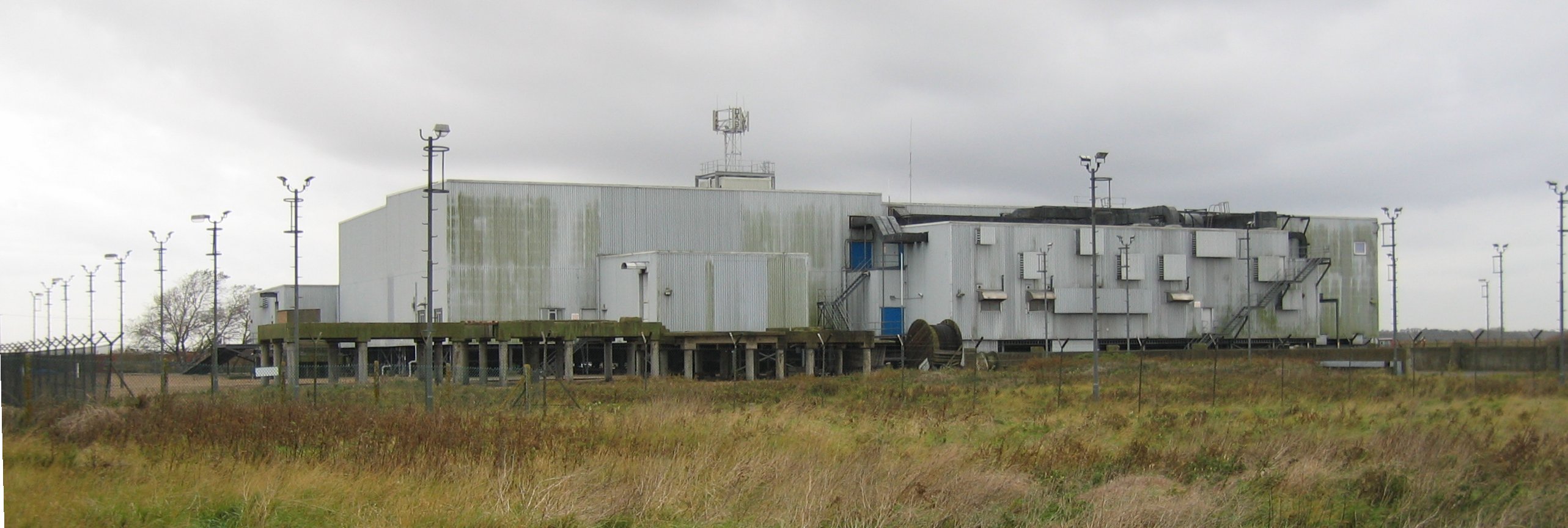
Cobra Mist

Cobra Mist was the codename for an Anglo-American experimental over-the-horizon radar station at Orford Ness, England. It was known technically as AN/FPS...

Nearby Amenities

Located within 500m of 52.118236,1.5653172
The data included in this document is from www.openstreetmap.org. The data is made available under ODbL.

Have you been to Sudbourne Marshes?

Leave your review of Sudbourne Marshes below (or comments, questions and feedback).