Barber's Point

Coastal Marsh, Saltings in Suffolk East Suffolk

England

Barber's Point

Sunset over the Aldeburgh Marshes, Aldeburgh Suffolk Looking south west across Short Reach River Alde towards Cawton
Sunset over the Aldeburgh Marshes, Aldeburgh Suffolk Credit: John Winfield

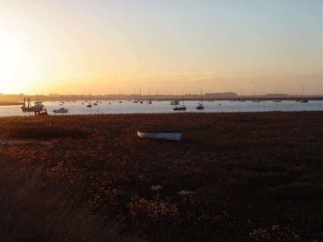
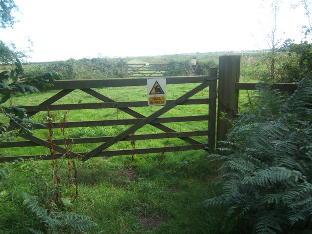
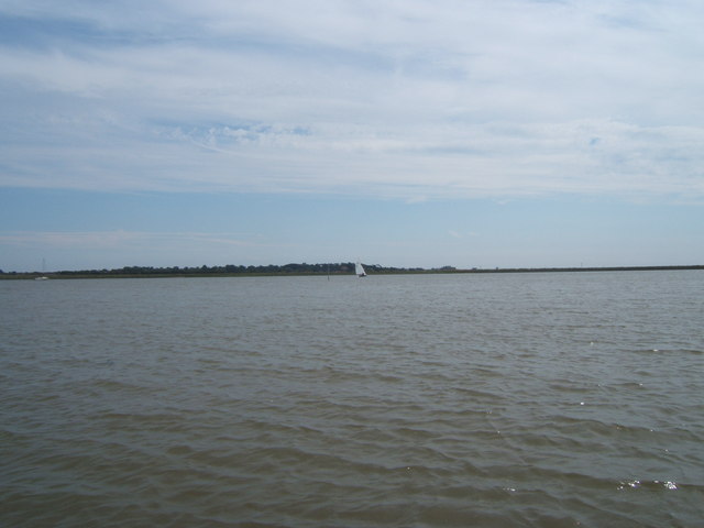
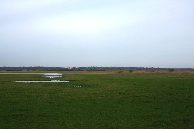
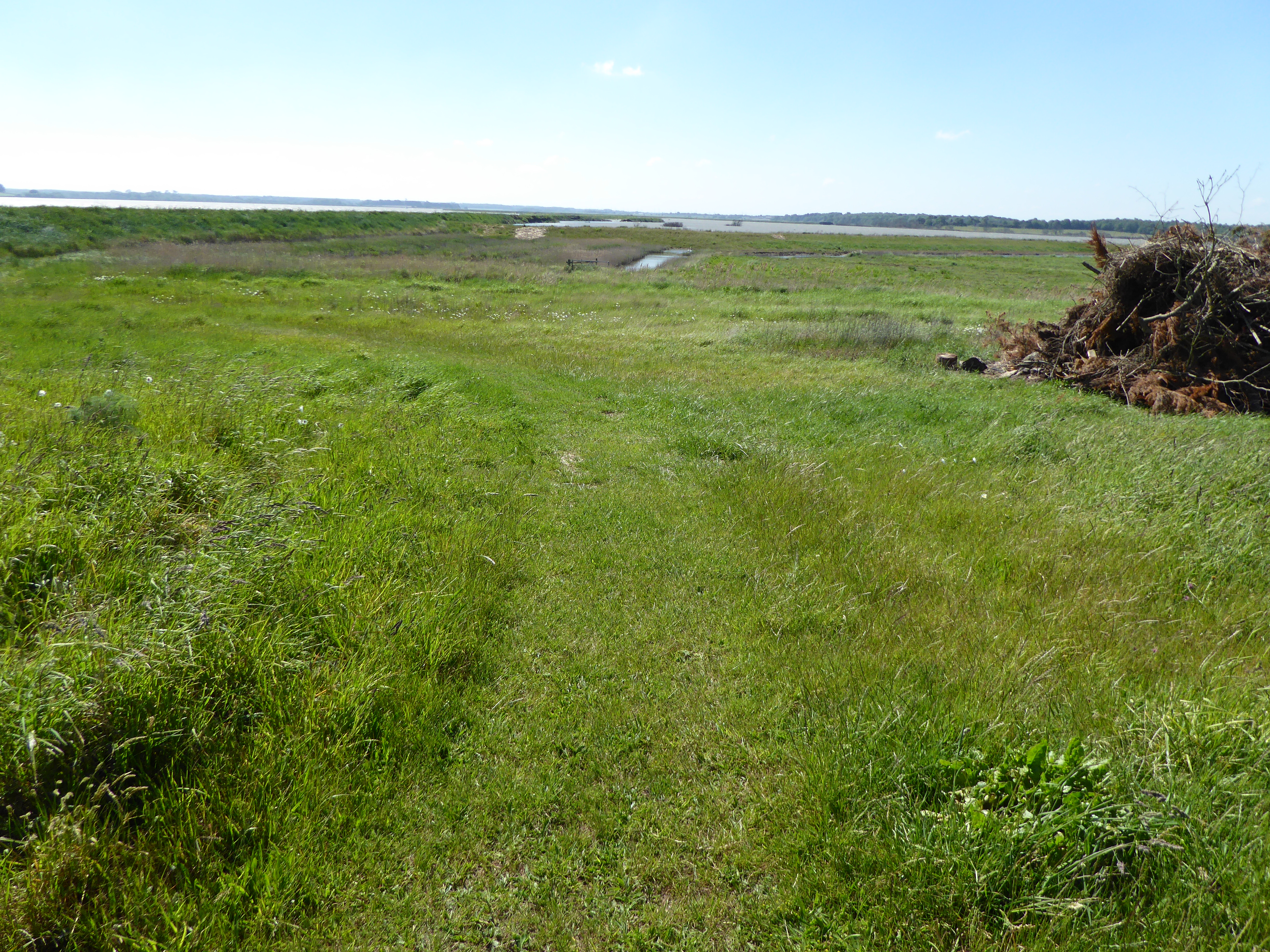
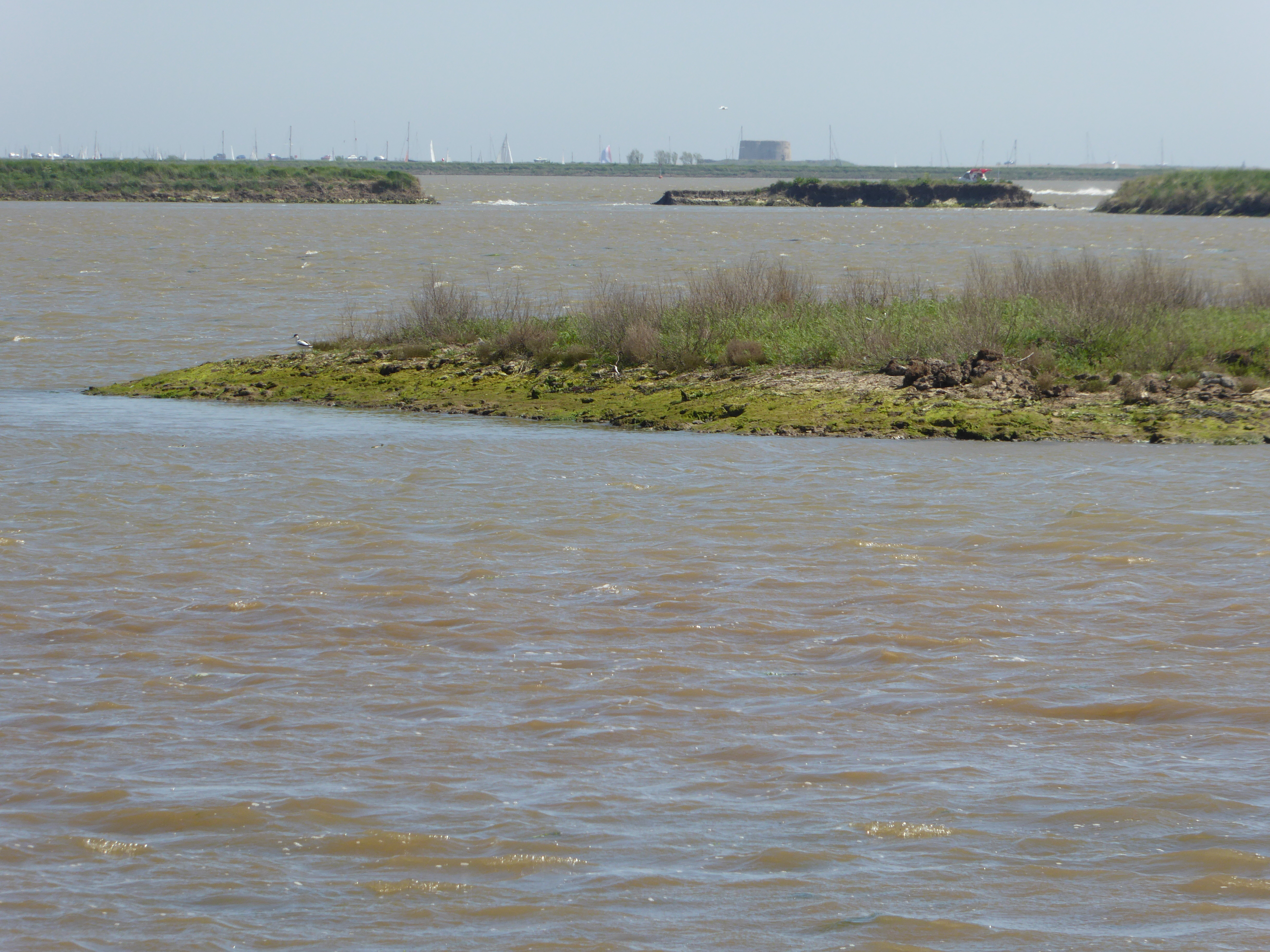
Barber's Point, located in Suffolk, is a prominent coastal marsh area that stretches along the eastern coast of England. It is known for its beautiful saltings, which are low-lying areas of coastal land that are regularly flooded by the tides. The marsh is situated at the mouth of a river, and its unique ecosystem consists of a mix of saltwater and freshwater habitats.

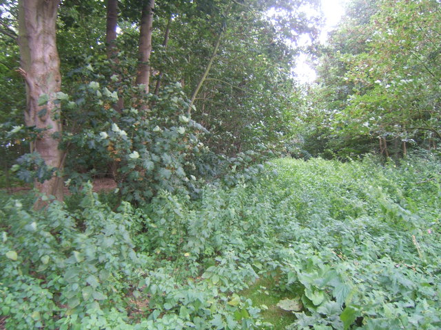
Covering a vast expanse, Barber's Point is characterized by its rich biodiversity. It is home to a wide array of plant and animal species that have adapted to the distinct conditions of the marsh. The saltings are dominated by salt-tolerant vegetation such as glasswort, sea lavender, and samphire, which thrive in the brackish water.

The marshland provides an important habitat for numerous bird species, making it a popular destination for birdwatchers. Many migratory birds, including wading birds like avocets and dunlins, make Barber's Point their temporary home during their long journeys. The area is also frequented by waterfowl and shorebirds, such as swans, geese, and sandpipers.

Apart from its ecological significance, Barber's Point also serves as a barrier against coastal erosion. The marshland acts as a natural buffer, absorbing the impact of waves and protecting the adjacent land from erosion caused by the relentless force of the sea.

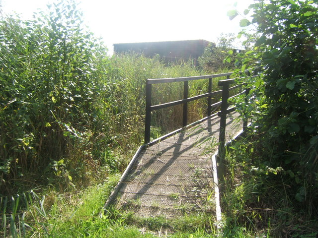
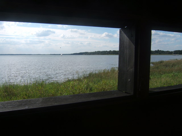
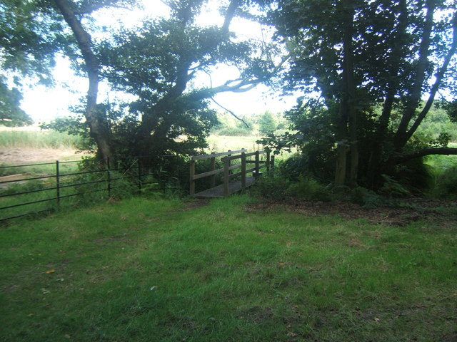
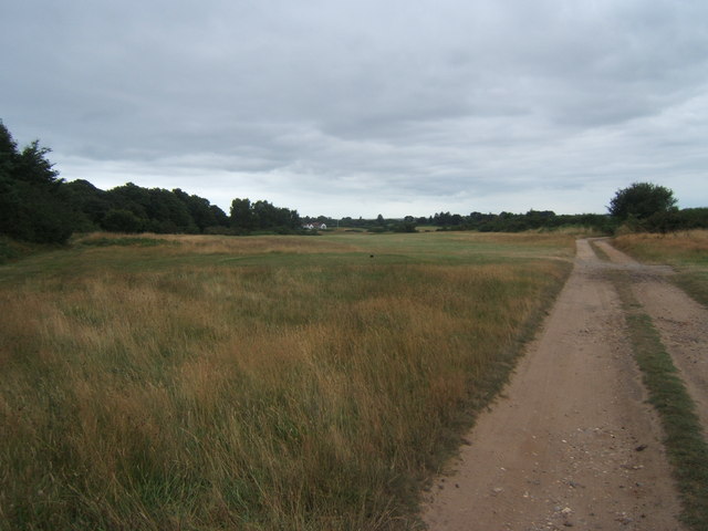
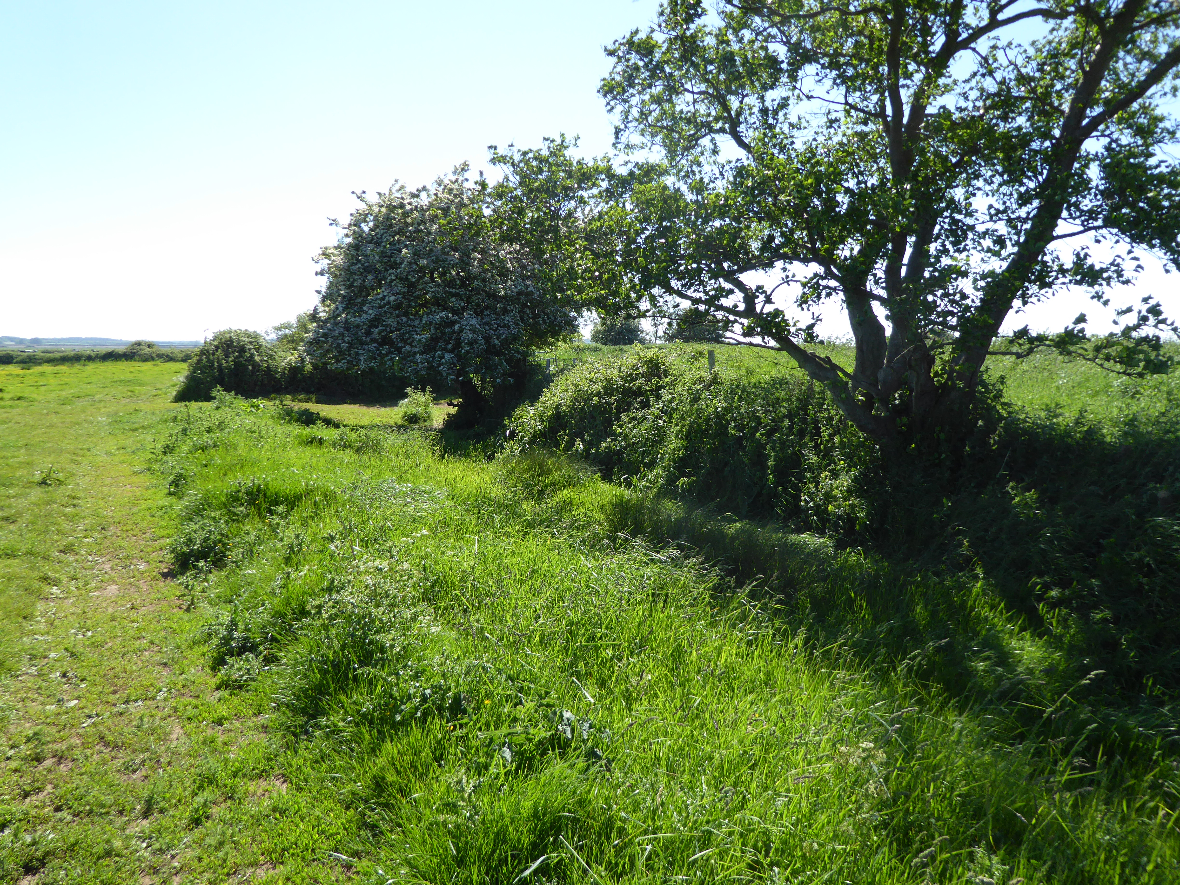
Visitors to Barber's Point can enjoy the scenic views of the marshes, observe the diverse birdlife, and take part in activities like walking and photography. The area is well-maintained, with designated paths and lookout points that allow visitors to explore and appreciate the natural beauty of this coastal marsh and its saltings.

If you have any feedback on the listing, please let us know in the comments section below.

Barber's Point Images

Images are sourced within 2km of 52.158457/1.5577115 or Grid Reference TM4357. Thanks to Geograph Open Source API. All images are credited.

Sunset over the Aldeburgh Marshes, Aldeburgh Suffolk Looking south west across Short Reach River Alde towards Cawton
Sunset over the Aldeburgh Marshes, Aldeburgh Suffolk
Looking south west across Short Reach River Alde towards Cawton
Sunset over Hazlewood Marshes, Aldeburgh, Suffolk Looking south-west from car park at Hazlewood Common towards the marshes (TM4357) with River Alde in background.
Sunset over Hazlewood Marshes, Aldeburgh, Suffolk
Looking south-west from car park at Hazlewood Common towards the marshes (TM4357) with River Alde in background.
Aldeburgh Golf Club
Aldeburgh Golf Club
Do Not Disturb the Golfers There are well marked footpaths across the course, but they don't want you to stray off them!
Do Not Disturb the Golfers
There are well marked footpaths across the course, but they don't want you to stray off them!
Field near High Street, Iken The Long Reach of the Alde Estuary can be seen in the background.
Field near High Street, Iken
The Long Reach of the Alde Estuary can be seen in the background.
Hosking Hide at Hazlewood Marshes The hide, which commemorates the late photographer Eric Hosking, has views out over the River Alde and Ham Creek.
Hosking Hide at Hazlewood Marshes
The hide, which commemorates the late photographer Eric Hosking, has views out over the River Alde and Ham Creek.
Ham Creek viewed from the Hosking Hide, Hazlewood Marshes
Footbridge, Black Heath Forest
Gate across path leading to the Hosking Hide, Hazlewood Marshes If there was a bull in the field it wasn't very obvious.
Gate across path leading to the Hosking Hide, Hazlewood Marshes
If there was a bull in the field it wasn't very obvious.
Aldeburgh Marsh dyke and the River Alde near Stanny Point
Aldeburgh Marsh from West Row Point
Footpath through Miller's Covert You needed not to mind about nettle stings to get through here!
Footpath through Miller's Covert
You needed not to mind about nettle stings to get through here!
River Alde - former location of Cob Island According to our boatman, the post just about visible to the left of the yacht marks the place where Cob Island used to be.
River Alde - former location of Cob Island
According to our boatman, the post just about visible to the left of the yacht marks the place where Cob Island used to be.
Track across Aldeburgh Golf Course
Track to Iken Marshes This farm track winds around the base of Yarn Hill and leads out onto low-lying marshland.
Track to Iken Marshes
This farm track winds around the base of Yarn Hill and leads out onto low-lying marshland.
Iken Marshes Looking northwards from the track at the base of Yarn Hill. The building in the distance is Black Heath, on the far side of the River Alde.
Iken Marshes
Looking northwards from the track at the base of Yarn Hill. The building in the distance is Black Heath, on the far side of the River Alde.
Footpath at High Street The path follows the line of trees towards the River Alde. High Street is a small hamlet consisting of half a dozen houses.
Footpath at High Street
The path follows the line of trees towards the River Alde. High Street is a small hamlet consisting of half a dozen houses.
Footpath to River Alde The path continues across flooded marshland towards the bank of the River Alde.
Footpath to River Alde
The path continues across flooded marshland towards the bank of the River Alde.
Show me another place!

Barber's Point is located at Grid Ref: TM4357 (Lat: 52.158457, Lng: 1.5577115)

Administrative County: Suffolk

District: East Suffolk

Police Authority: Suffolk

What 3 Words

///constants.emerald.waxes. Near Aldeburgh, Suffolk

Related Wikis

Round Hill Pit, Aldeburgh

Round Hill Pit, Aldeburgh is a 0.5-hectare (1.2-acre) geological Site of Special Scientific Interest in Aldeburgh in Suffolk. It is a Geological Conservation...

Hazlewood Marshes

Hazlewood Marshes is a 64 hectare nature reserve west of Aldeburgh in Suffolk. It is managed by the Suffolk Wildlife Trust. It is in the Alde-Ore Estuary...

Aldeburgh Brick Pit

Aldeburgh Brick Pit is a 0.9-hectare (2.2-acre) geological Site of Special Scientific Interest in Aldeburgh in Suffolk. It is a Geological Conservation...

Aldeburgh Hall Pit

Aldeburgh Hall Pit is a one hectare geological Site of Special Scientific Interest in Aldeburgh in Suffolk. It is a Geological Conservation Review site...

Related Videos

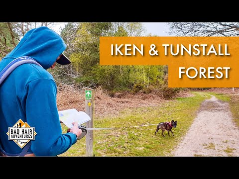
Iken & Tunstall Forest || Firepot Dehydrated Meal Review #Review #Drone

Join us on a near 8 mile circular walk, starting at Iken, going through Tunstall Forest, passing by the famous Snape Maltings ...

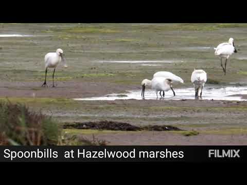
spoonbills Suffolk wildlife trust hazlewood marshes

I've never seen so many spoonbills in one place.

Nearby Amenities

Located within 500m of 52.158457,1.5577115
Source: PGS
Lat/Long: 52.1614062/1.5554203
Source: PGS
Lat/Long: 52.1612855/1.5548858
Source: PGS
Lat/Long: 52.1612247/1.5537212
Source: PGS
Lat/Long: 52.1601216/1.5542668
Source: PGS
Lat/Long: 52.1599339/1.5544137
Source: PGS
Lat/Long: 52.1591332/1.5593954
Source: PGS
Lat/Long: 52.1594822/1.5603752
Source: PGS
Lat/Long: 52.1596467/1.5614883
Source: PGS
Lat/Long: 52.1598925/1.5625781
Flow Control: sluice_gate
Waterway: flow_control
Lat/Long: 52.1600277/1.5623115
Flow Control: discharge
Waterway: flow_control
Lat/Long: 52.1599277/1.5624754
The data included in this document is from www.openstreetmap.org. The data is made available under ODbL.

Have you been to Barber's Point?

Leave your review of Barber's Point below (or comments, questions and feedback).