Cliff Plantation
Wood, Forest in Suffolk East Suffolk
England
Cliff Plantation

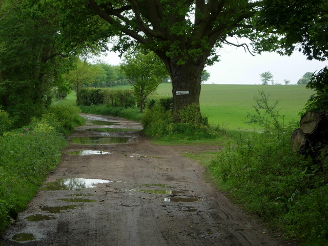
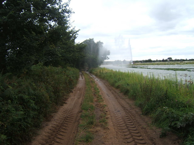
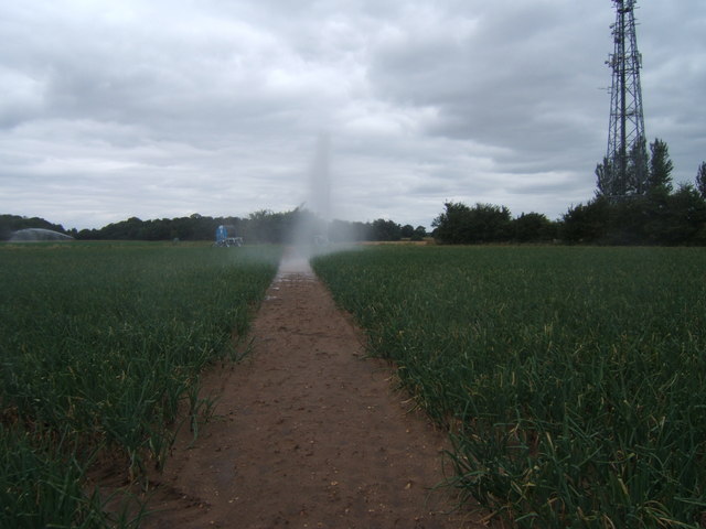
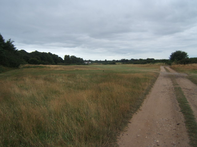
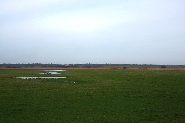
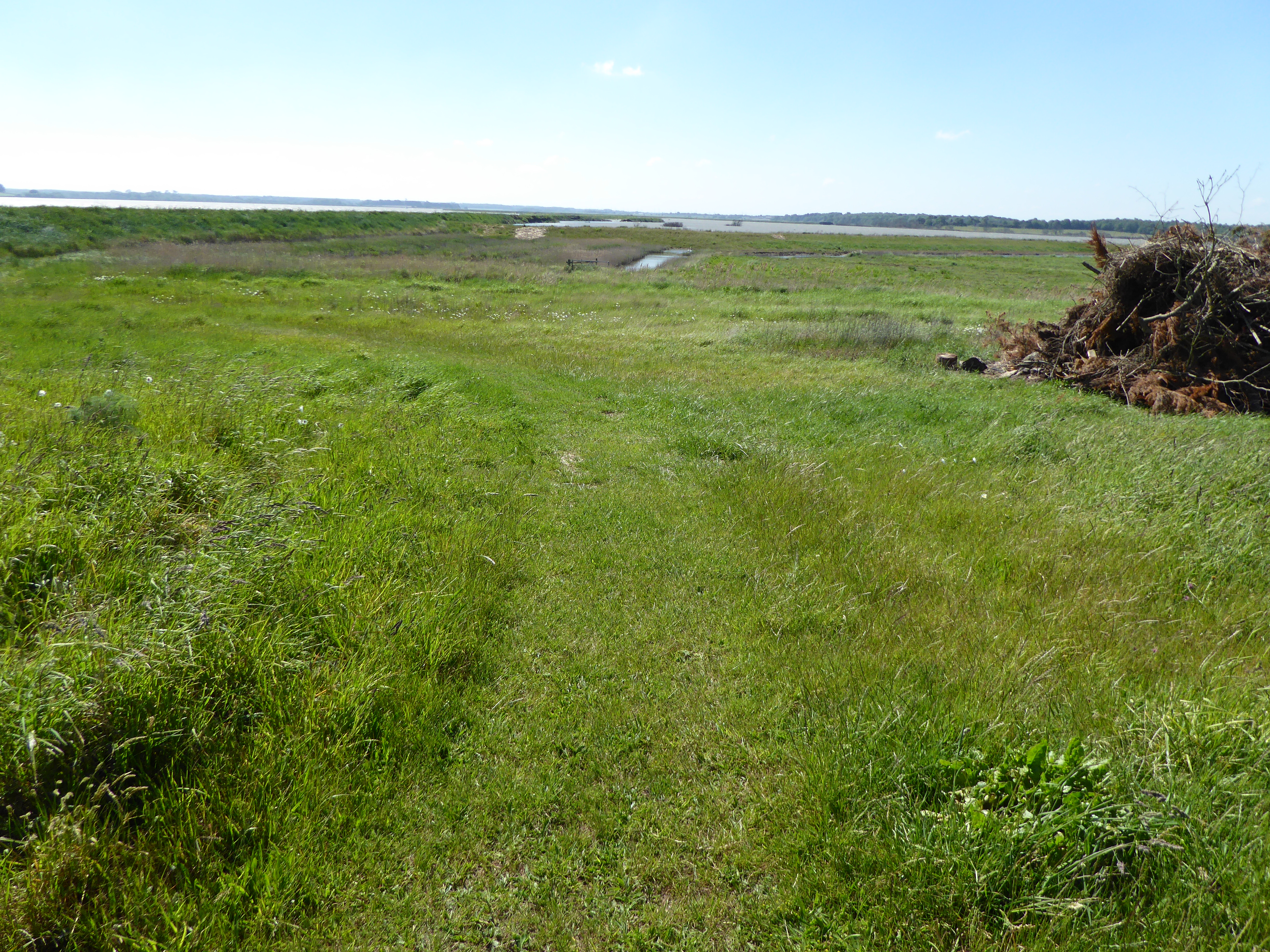
Cliff Plantation, located in Suffolk, is a picturesque woodland area that encompasses a sprawling expanse of natural beauty. Situated near the village of Woodbridge, the plantation is renowned for its dense forests and breathtaking cliffs that overlook the surrounding countryside.
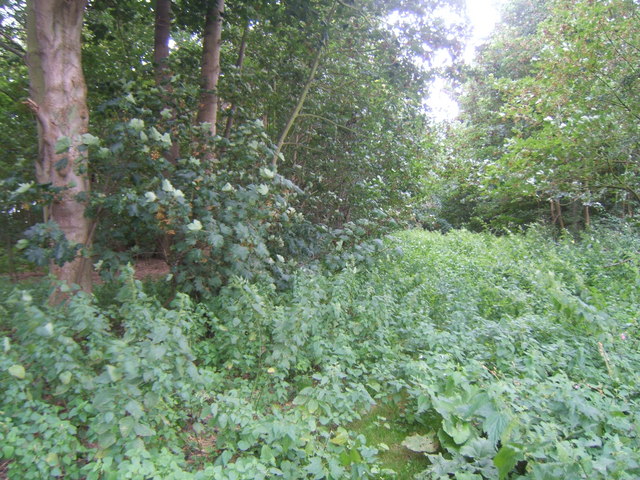
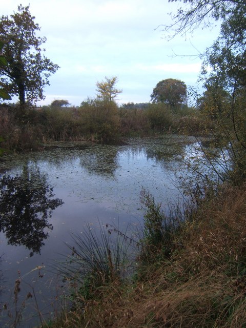
Covering an area of approximately 150 hectares, Cliff Plantation is home to a diverse range of flora and fauna. The woodland is predominantly composed of a mix of deciduous and coniferous trees, creating a rich tapestry of colors throughout the year. Ancient oak and beech trees can be found dotting the landscape, their gnarled branches adding a sense of character to the surroundings.
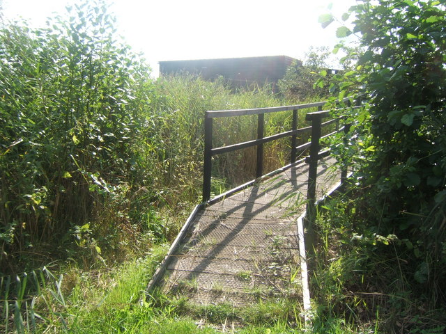
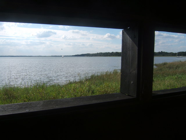
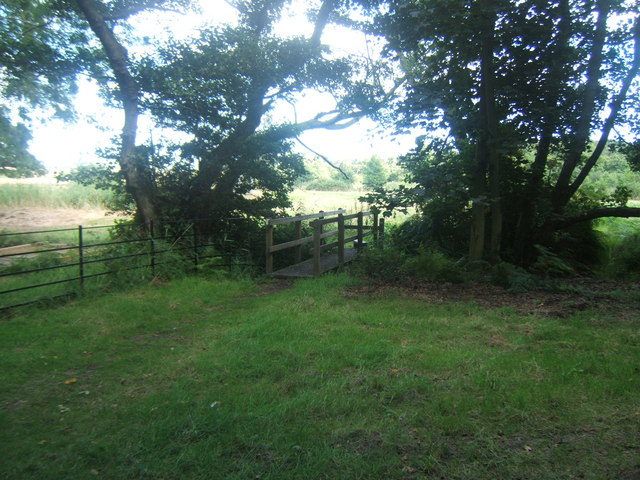
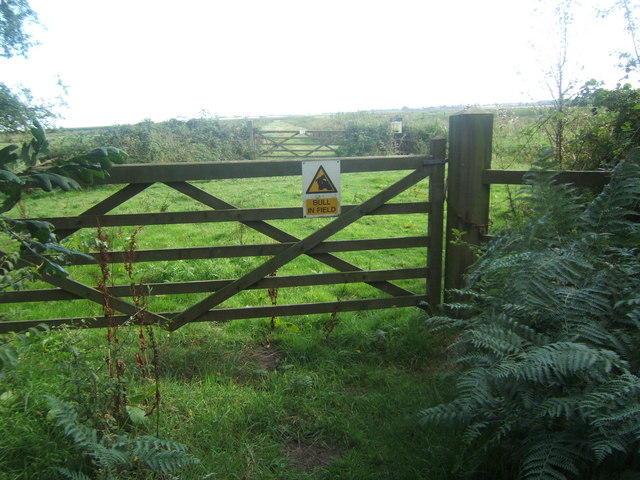
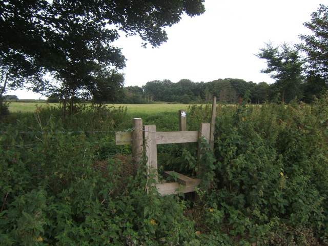
The plantation is crisscrossed by a network of footpaths, allowing visitors to explore the area and immerse themselves in its natural splendor. From the cliff tops, one can enjoy sweeping views of the Suffolk countryside, with rolling hills and meandering rivers stretching out as far as the eye can see.
Aside from its scenic beauty, Cliff Plantation also serves as an important habitat for a variety of wildlife species. Deer, foxes, and rabbits can be spotted amongst the trees, while a plethora of bird species, including woodpeckers and owls, can be heard chirping and hooting in the distance.
Cliff Plantation offers a tranquil escape from the hustle and bustle of everyday life, providing a sanctuary for nature enthusiasts and hikers alike. Its unspoiled landscapes and breathtaking vistas make it a truly captivating destination for anyone seeking a connection with the natural world.
If you have any feedback on the listing, please let us know in the comments section below.
Cliff Plantation Images
Images are sourced within 2km of 52.164566/1.5558735 or Grid Reference TM4357. Thanks to Geograph Open Source API. All images are credited.


Cliff Plantation is located at Grid Ref: TM4357 (Lat: 52.164566, Lng: 1.5558735)
Administrative County: Suffolk
District: East Suffolk
Police Authority: Suffolk
What 3 Words
///radically.switched.necks. Near Aldeburgh, Suffolk
Nearby Locations
Related Wikis
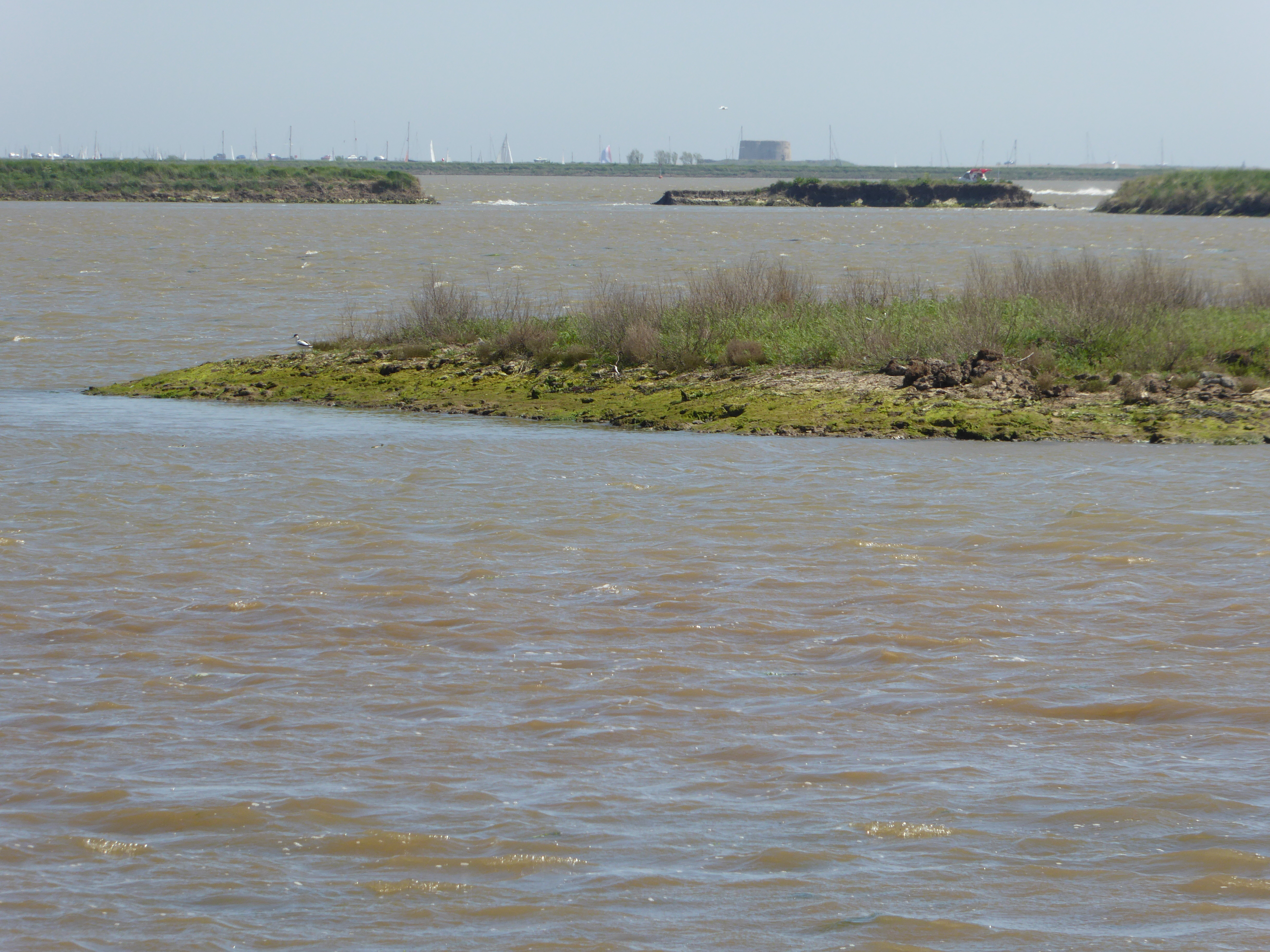
Hazlewood Marshes
Hazlewood Marshes is a 64 hectare nature reserve west of Aldeburgh in Suffolk. It is managed by the Suffolk Wildlife Trust. It is in the Alde-Ore Estuary...
Round Hill Pit, Aldeburgh
Round Hill Pit, Aldeburgh is a 0.5-hectare (1.2-acre) geological Site of Special Scientific Interest in Aldeburgh in Suffolk. It is a Geological Conservation...

Aldeburgh Brick Pit
Aldeburgh Brick Pit is a 0.9-hectare (2.2-acre) geological Site of Special Scientific Interest in Aldeburgh in Suffolk. It is a Geological Conservation...

A1094 road
The A1094 is an A road in the English county of Suffolk. It is around 7 miles (11 km) in length. The road runs from a junction off the A12 trunk road at...
Nearby Amenities
Located within 500m of 52.164566,1.5558735Have you been to Cliff Plantation?
Leave your review of Cliff Plantation below (or comments, questions and feedback).