Limpenhoe Marshes
Coastal Marsh, Saltings in Norfolk Broadland
England
Limpenhoe Marshes

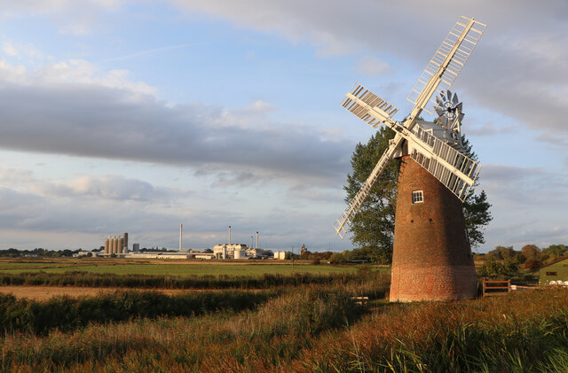
Limpenhoe Marshes, located in Norfolk, England, is a picturesque coastal marshland known for its remarkable beauty and ecological significance. Nestled along the eastern coast of England, this expansive area covers approximately 200 hectares and is characterized by a diverse range of habitats, including saltmarshes, mudflats, and reed beds.
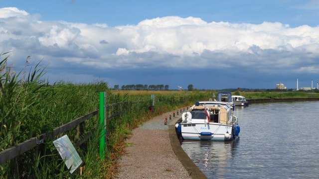
The marshes are situated at the confluence of the rivers Yare and Bure, creating an environment that is rich in nutrients and teeming with wildlife. The saltmarshes, also known as saltings, are particularly noteworthy, providing a vital habitat for a variety of plant and animal species. These salt-tolerant plants, such as samphire and sea lavender, thrive in the brackish water and offer a unique and vibrant landscape.
Limpenhoe Marshes are also a haven for birdwatchers, attracting a wide array of avian species throughout the year. Visitors may spot elegant wading birds like avocets, redshanks, and curlews, as well as migratory species such as Brent geese and pink-footed geese. The marshes' wetland areas serve as crucial stopover points for these birds during their long journeys.
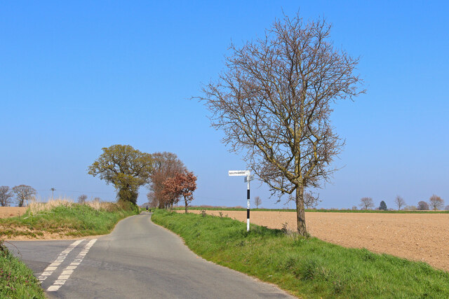
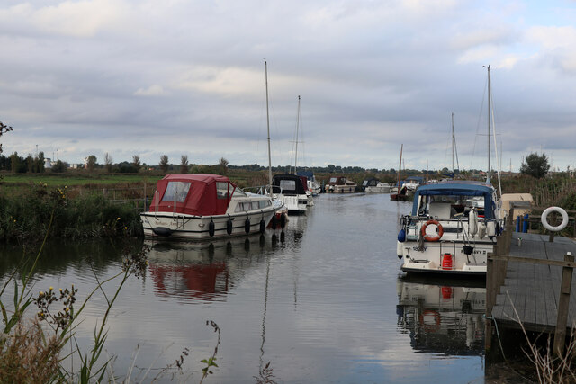
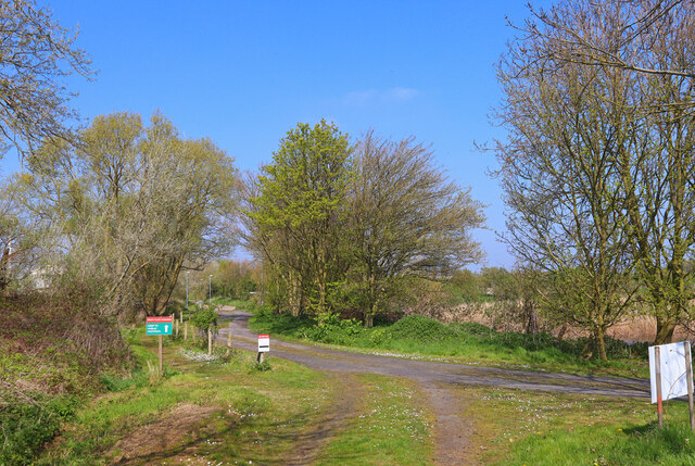
In addition to its ecological significance, Limpenhoe Marshes offer visitors the opportunity to explore and appreciate the natural beauty of the coastal landscape. A network of footpaths and trails winds its way through the marshes, allowing visitors to immerse themselves in the serene surroundings and observe the diverse flora and fauna.
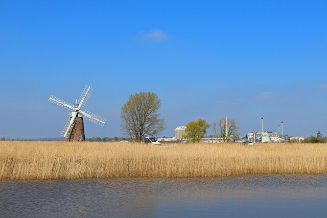
Overall, Limpenhoe Marshes in Norfolk is a remarkable coastal marshland that not only provides a valuable habitat for a range of species but also offers a captivating and tranquil environment for visitors to explore and enjoy.
If you have any feedback on the listing, please let us know in the comments section below.
Limpenhoe Marshes Images
Images are sourced within 2km of 52.563555/1.539664 or Grid Reference TG4002. Thanks to Geograph Open Source API. All images are credited.


Limpenhoe Marshes is located at Grid Ref: TG4002 (Lat: 52.563555, Lng: 1.539664)
Administrative County: Norfolk
District: Broadland
Police Authority: Norfolk
What 3 Words
///chart.width.thick. Near Reedham, Norfolk
Nearby Locations
Related Wikis

River Chet
The River Chet is a small river in South Norfolk, England, a tributary of the River Yare. It rises in Poringland and flows eastwards through Alpington...
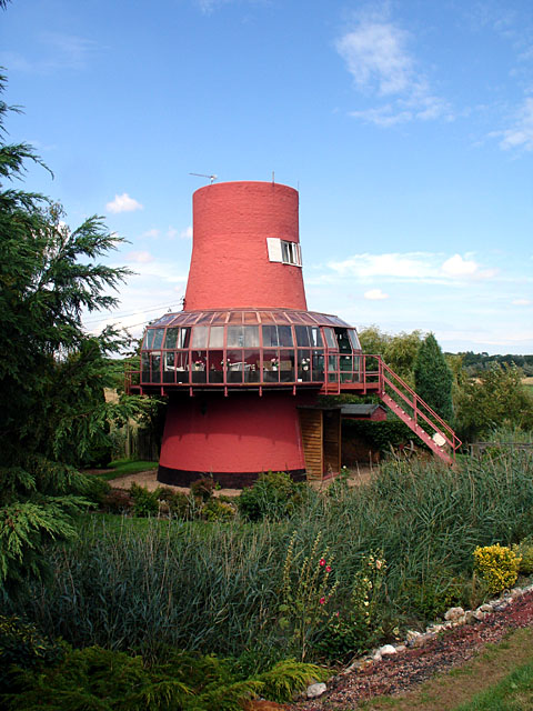
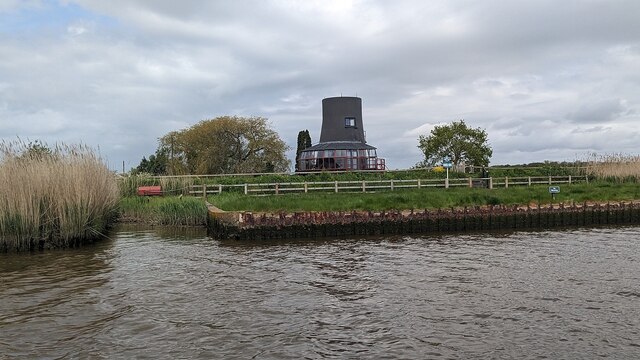
Reedham Ferry Drainage Mill
The Reedham Ferry Drainage Mill, also known as The Red Mill is a former drainage windmill found on the River Yare on The Broads in Norfolk. It is now a...
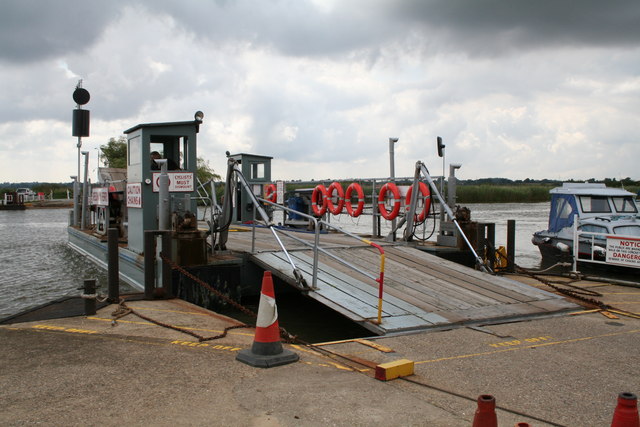
Reedham Ferry
Reedham Ferry is a vehicular chain ferry across the River Yare in the English county of Norfolk, in the Broads. The ferry crosses the river near the village...

Limpenhoe Meadows
Limpenhoe Meadows is a 12-hectare (30-acre) biological Site of Special Scientific Interest west of Reedham in Norfolk. It is part of the Broadland Ramsar...

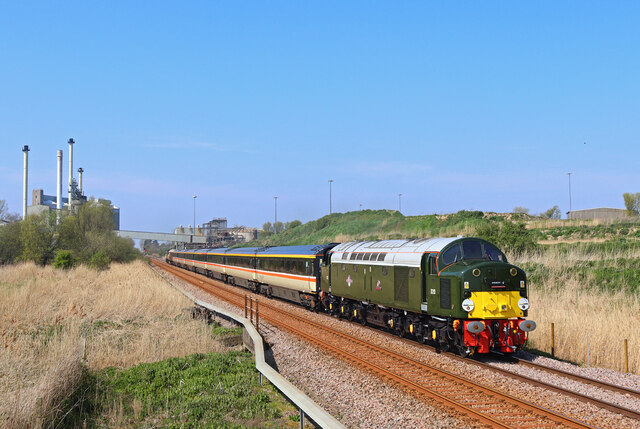
Reedham railway station (Norfolk)
Reedham railway station is on the Wherry Lines in the East of England, serving the village of Reedham, Norfolk. It is 12 miles 13 chains (19.6 km) down...

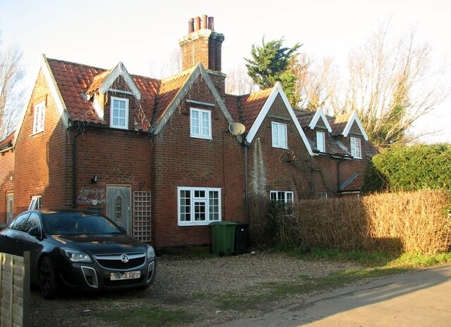
Limpenhoe
Limpenhoe is a village and former civil parish, now in the Cantley, Limpenhoe and Southwood, in the Broadland district, in the county of Norfolk, England...

Reedham, Norfolk
Reedham is a village and civil parish in the English county of Norfolk and within The Broads. It is on the north bank of the River Yare, some 12 miles...
Reedham Swing Bridge
Reedham Swing Bridge, on the site of a Victorian swing bridge, is still in use at Reedham, Norfolk, England.It carries the Wherry railway line, between...
Nearby Amenities
Located within 500m of 52.563555,1.539664Have you been to Limpenhoe Marshes?
Leave your review of Limpenhoe Marshes below (or comments, questions and feedback).