John's Carr
Wood, Forest in Norfolk Broadland
England
John's Carr

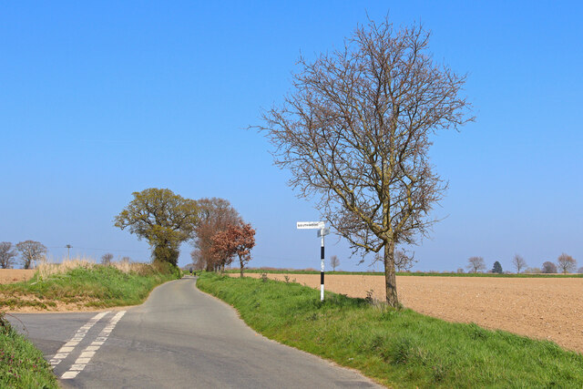
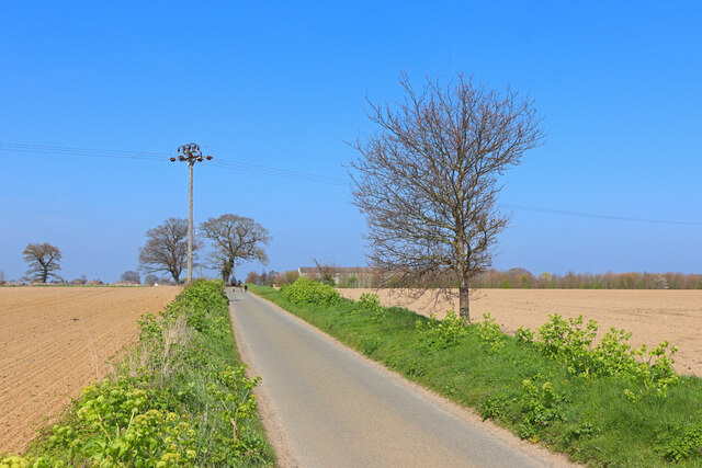
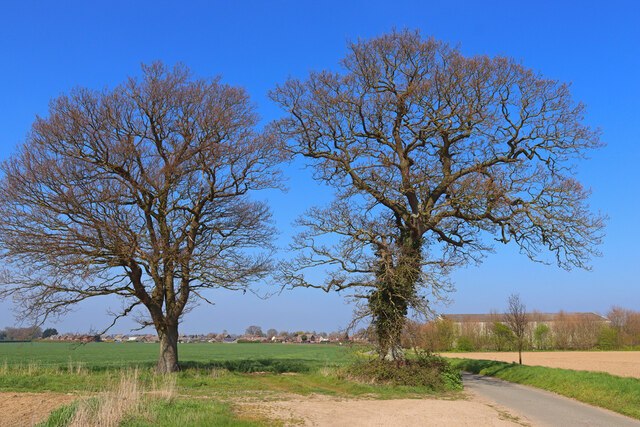
John's Carr is a quaint woodland area located in Norfolk, England. Nestled in the heart of the county, it is known for its lush greenery and serene atmosphere, making it a popular destination for nature enthusiasts and hikers alike.
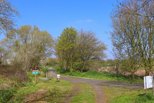
The woodland is named after John, a local landowner who owned the area in the 19th century. His legacy can still be felt through the well-maintained footpaths and trails that wind through the forest. These paths offer visitors the opportunity to explore the diverse range of flora and fauna that call John's Carr home.
The forest is predominantly composed of native tree species, such as oak, birch, and beech, which provide a habitat for a variety of wildlife. Visitors may encounter deer, squirrels, and a wide array of bird species while wandering through the forest.
John's Carr also boasts a small lake, providing a picturesque spot for picnics or leisurely walks. The lake is home to several species of fish and attracts waterfowl, creating a peaceful ambiance.
The woodland is well-maintained and accessible, with car parks and designated picnic areas available for visitors. It also features information boards that offer insights into the history and ecology of the area, enhancing the overall experience.
Overall, John's Carr offers a tranquil escape from the hustle and bustle of everyday life, allowing visitors to immerse themselves in the beauty of nature. Whether one is seeking a peaceful stroll, a wildlife encounter, or simply a moment of serenity, John's Carr is a destination that promises to deliver.
If you have any feedback on the listing, please let us know in the comments section below.
John's Carr Images
Images are sourced within 2km of 52.569139/1.5511113 or Grid Reference TG4002. Thanks to Geograph Open Source API. All images are credited.


John's Carr is located at Grid Ref: TG4002 (Lat: 52.569139, Lng: 1.5511113)
Administrative County: Norfolk
District: Broadland
Police Authority: Norfolk
What 3 Words
///damp.tend.exporters. Near Reedham, Norfolk
Nearby Locations
Related Wikis

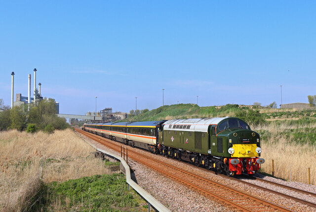
Reedham railway station (Norfolk)
Reedham railway station is on the Wherry Lines in the East of England, serving the village of Reedham, Norfolk. It is 12 miles 13 chains (19.6 km) down...

Limpenhoe Meadows
Limpenhoe Meadows is a 12-hectare (30-acre) biological Site of Special Scientific Interest west of Reedham in Norfolk. It is part of the Broadland Ramsar...
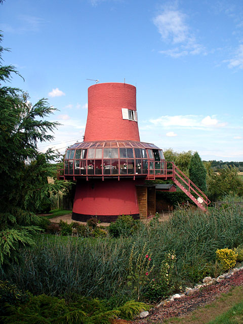
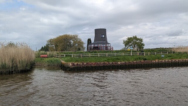
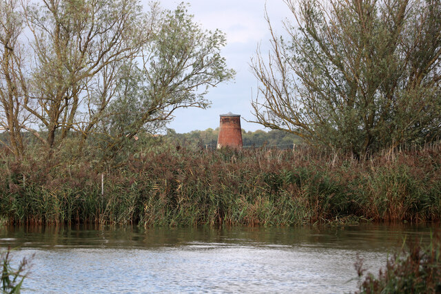
Reedham Ferry Drainage Mill
The Reedham Ferry Drainage Mill, also known as The Red Mill is a former drainage windmill found on the River Yare on The Broads in Norfolk. It is now a...
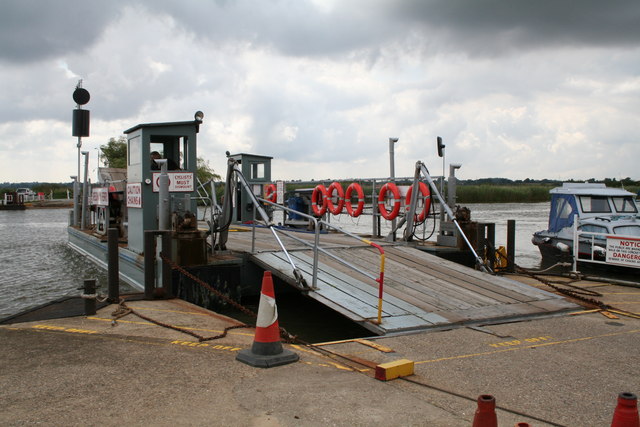
Reedham Ferry
Reedham Ferry is a vehicular chain ferry across the River Yare in the English county of Norfolk, in the Broads. The ferry crosses the river near the village...
Have you been to John's Carr?
Leave your review of John's Carr below (or comments, questions and feedback).