Stonebridge Marshes

Coastal Marsh, Saltings in Suffolk East Suffolk

England

Stonebridge Marshes

Roadsign near Hayhall Cottages
Roadsign near Hayhall Cottages Credit: Adrian S Pye

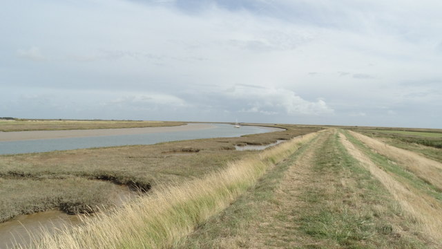
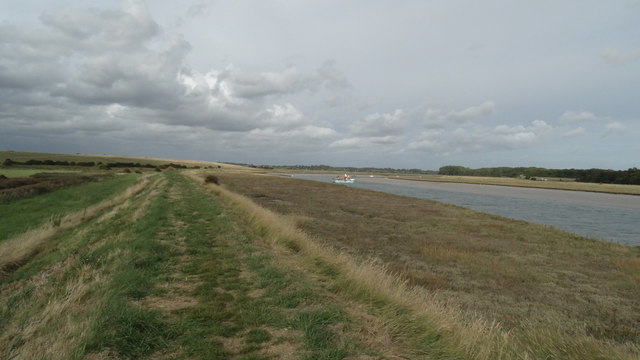
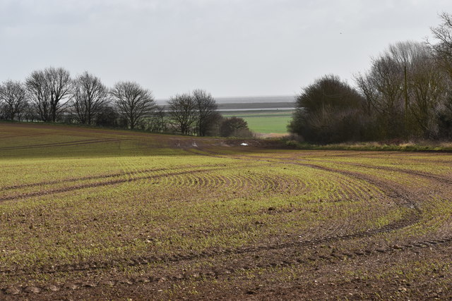
Stonebridge Marshes is a coastal marshland located in Suffolk, England. It is situated on the eastern coast of the county, adjacent to the North Sea. The marshes are known for their unique landscape, characterized by vast expanses of salt marshes and saltings.

Covering an area of approximately 300 hectares, Stonebridge Marshes are part of the Suffolk Coast and Heaths Area of Outstanding Natural Beauty (AONB). The marshes are a vital habitat for a diverse range of plant and animal species, making it an important site for conservation.

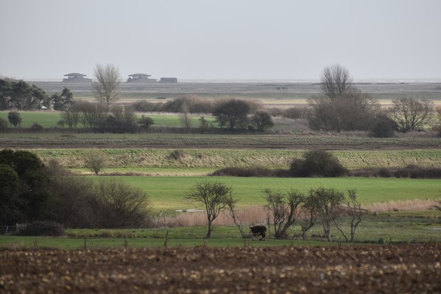
The marshes are predominantly composed of salt marshes, which are flooded by the tides and contain high levels of salt. This creates a unique ecosystem that supports a variety of plant life, including salt-tolerant grasses, rushes, and herbs. The marshes are also home to numerous bird species, such as redshanks, oystercatchers, and marsh harriers, which rely on the marshes for nesting and feeding.

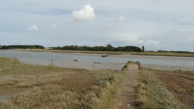
In addition to the salt marshes, Stonebridge Marshes also feature saltings, which are areas of land that are periodically flooded by seawater. These saltings are characterized by a low-lying topography and are home to a variety of salt-tolerant plants, such as samphire and sea lavender.

The marshes provide important coastal defense, acting as a natural buffer against erosion and storm surges. They also offer recreational opportunities for visitors, including walking trails and bird-watching spots.

Overall, Stonebridge Marshes in Suffolk is a significant coastal marshland, valued for its ecological importance, unique landscape, and contribution to local biodiversity.

If you have any feedback on the listing, please let us know in the comments section below.

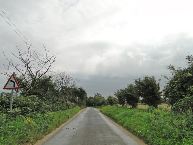
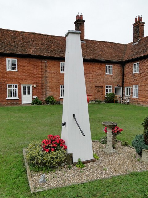
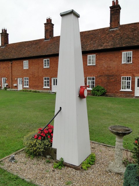
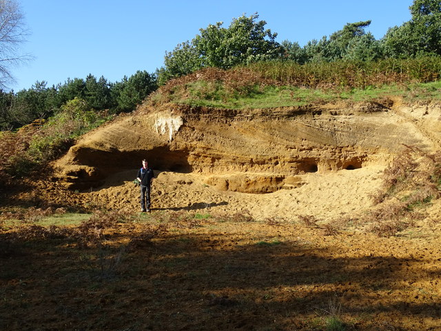
Stonebridge Marshes Images

Images are sourced within 2km of 52.083048/1.4759905 or Grid Reference TM3848. Thanks to Geograph Open Source API. All images are credited.

Roadsign near Hayhall Cottages
Boxed in village pump at Boyton Almshouses
Boxed-in village pump at Boyton Almshouses with firebell
Boyton War Memorial The brass plated memorial bears four names from WW1 and one from WW2. However Arthur C.  GROSS who died in 1918 is buried in the churchyard although his name is remembered on the Wickham Market War Memorial.
Boyton War Memorial
The brass plated memorial bears four names from WW1 and one from WW2. However Arthur C. GROSS who died in 1918 is buried in the churchyard although his name is remembered on the Wickham Market War Memorial.
Red Crag Formation A series of Pliocene to Pleistocene deposits representing a tidal dune system with herringbone cross stratification and lenticular bedding. There are also several rhythmite beds depicting storm surges.
Red Crag Formation
A series of Pliocene to Pleistocene deposits representing a tidal dune system with herringbone cross stratification and lenticular bedding. There are also several rhythmite beds depicting storm surges.
The water pump at the Mary Warner Almshouses, Boyton Until recently the pump was enclosed. viz <a title="https://www.geograph.org.uk/photo/4637494" href="https://www.geograph.org.uk/photo/4637494">Link</a> <a title="https://www.geograph.org.uk/photo/4637497" href="https://www.geograph.org.uk/photo/4637497">Link</a>
The water pump at the Mary Warner Almshouses, Boyton
Until recently the pump was enclosed. viz Link Link
Boyton church from the south west Viewed over the wall of the Mary Warner Almshouses adjacent to the churchyard.
Boyton church from the south west
Viewed over the wall of the Mary Warner Almshouses adjacent to the churchyard.
The Mary Warner Almshouses, Boyton
On the Suffolk Coast Path - Butley River below Boyton Dock
On the Suffolk Coast Path approaching Butley Ferry on Butley River
On the Suffolk Coast Path - western jetty at Butley Ferry on Butley River
The lane to Boyton Hall Farm Looking south-east as the lane starts to descend towards Boyton Marshes.
The lane to Boyton Hall Farm
Looking south-east as the lane starts to descend towards Boyton Marshes.
Emerging winter cereal crop near Boyton Hall Farm Looking south-east from the Mill Lane.
Emerging winter cereal crop near Boyton Hall Farm
Looking south-east from the Mill Lane.
Winter cereal crop near Boyton Hall Farm Looking south-east from Mill Lane, with Boyton Marshes visible in the distance.
Winter cereal crop near Boyton Hall Farm
Looking south-east from Mill Lane, with Boyton Marshes visible in the distance.
Pasture on the floodplain of Butley River Looking west from the lane above Banters Barn Farm, with concrete structures on Orford Ness visible in the background.
Pasture on the floodplain of Butley River
Looking west from the lane above Banters Barn Farm, with concrete structures on Orford Ness visible in the background.
Gates at Banters Barn Farm Looking south-east along the lane that leads to the RSPB reserve on Boyton Marshes.
Gates at Banters Barn Farm
Looking south-east along the lane that leads to the RSPB reserve on Boyton Marshes.
New barns at Banters Barn Farm Looking east, with the confluence of the river Ore and Butley River in the background.
New barns at Banters Barn Farm
Looking east, with the confluence of the river Ore and Butley River in the background.
The Tang valley near Dock Farm
Show me another place!

Stonebridge Marshes is located at Grid Ref: TM3848 (Lat: 52.083048, Lng: 1.4759905)

Administrative County: Suffolk

District: East Suffolk

Police Authority: Suffolk

What 3 Words

///devours.chuck.thighs. Near Rendlesham, Suffolk

Nearby Locations

Stonebridge Marshes

Related Wikis

Butley Priory

Butley Priory, sometimes called Butley Abbey, was a religious house of Canons regular (Augustinians, Black canons) in Butley, Suffolk, dedicated to The...

Boyton, Suffolk

Boyton is a village and civil parish in the East Suffolk district of Suffolk, England, about eight miles east of Woodbridge, and close to Orford Ness....

Capel St Andrew

Capel St Andrew is a village and a civil parish in the East Suffolk district, in the county of Suffolk, England. It is near the larger settlement of Orford...

Rendlesham Forest incident

The Rendlesham Forest incident was a series of reported sightings of unexplained lights near Rendlesham Forest in Suffolk, England, in December 1980, which...

Gedgrave Hall Pit

Gedgrave Hall Pit is a 0.65-hectare (1.6-acre) geological Site of Special Scientific Interest in Gedgrave, south of Saxmundham in Suffolk. It is a Geological...

Butley River

The Butley River or Butley Creek is a tributary of the River Ore in the English county of Suffolk. The river has its source in the Rendlesham Forest area...

Gedgrave

Gedgrave is a civil parish in the East Suffolk district, in the English county of Suffolk in eastern England. In 2005 its population was 30. Gedgrave once...

Alde–Ore Estuary

Alde–Ore Estuary is a 2,534 hectare biological and geological Site of Special Scientific Interest which stretches along the Suffolk coast between Aldeburgh...

Nearby Amenities

Located within 500m of 52.083048,1.4759905
Stonebridge Marshes
Place: locality
Lat/Long: 52.0811108/1.476199
Power: pole
Lat/Long: 52.085697/1.4815986
Power: pole
Lat/Long: 52.0848399/1.4824676
Power: pole
Lat/Long: 52.0802386/1.4805604
Power: pole
Lat/Long: 52.0810818/1.4807242
Power: pole
Lat/Long: 52.0816324/1.4812714
Power: pole
Lat/Long: 52.0833516/1.4828512
Power: pole
Lat/Long: 52.0827747/1.4823228
Power: pole
Lat/Long: 52.0822192/1.4817917
The data included in this document is from www.openstreetmap.org. The data is made available under ODbL.

Have you been to Stonebridge Marshes?

Leave your review of Stonebridge Marshes below (or comments, questions and feedback).