Big Bog
Coastal Marsh, Saltings in Norfolk North Norfolk
England
Big Bog
Big Bog, located in Norfolk, is a coastal marsh and saltings area that stretches over a vast expanse of land. This unique ecosystem is characterized by its diverse range of flora and fauna, making it a significant site for nature enthusiasts and researchers alike.
The marshland is situated on the eastern coast of England, adjacent to the North Sea. It is known for its extensive network of salt marshes, mudflats, and tidal creeks, which are constantly influenced by the ebb and flow of the tides. This creates an ever-changing landscape that supports a wide array of plant and animal species.
The vegetation in Big Bog is predominantly composed of salt-tolerant plants such as sea lavender, saltmarsh grasses, and samphire. These plants have adapted to the marshland's saline conditions and play a vital role in stabilizing the soil and providing habitat for numerous organisms. The area is also inhabited by various bird species, including wading birds like redshanks and curlews, which rely on the marshes as feeding and breeding grounds.
Big Bog is a designated Site of Special Scientific Interest (SSSI) due to its ecological importance. The marshland provides a valuable habitat for several rare and protected species, including the natterjack toad and the fen orchid. It is also an important site for migratory birds, serving as a stopover point during their long journeys.
Visitors to Big Bog can explore the area via a network of footpaths and boardwalks, which provide access to the marshland while minimizing disturbance to the delicate ecosystem. The site offers a unique opportunity to witness the beauty and biodiversity of a coastal marsh, making it a must-visit destination for nature enthusiasts and those interested in studying the delicate balance of coastal ecosystems.
If you have any feedback on the listing, please let us know in the comments section below.
Big Bog Images
Images are sourced within 2km of 52.755348/1.5018121 or Grid Reference TG3623. Thanks to Geograph Open Source API. All images are credited.


Big Bog is located at Grid Ref: TG3623 (Lat: 52.755348, Lng: 1.5018121)
Administrative County: Norfolk
District: North Norfolk
Police Authority: Norfolk
What 3 Words
///adopters.extremes.reserves. Near Stalham, Norfolk
Nearby Locations
Related Wikis
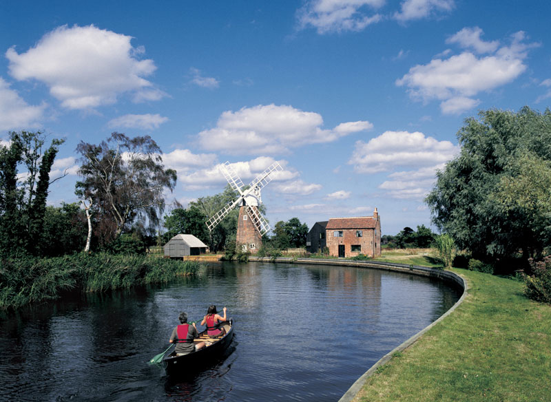
Hunsett Mill
Hunsett Mill is located on the east bank of the River Ant one mile north of Barton Broad in the English county of Norfolk. The Windmill is 1.2 miles south...
Barton Turf
Barton Turf is a village and civil parish in the English county of Norfolk. It is 20 km north-east of the city of Norwich, on the northwestern edge of...
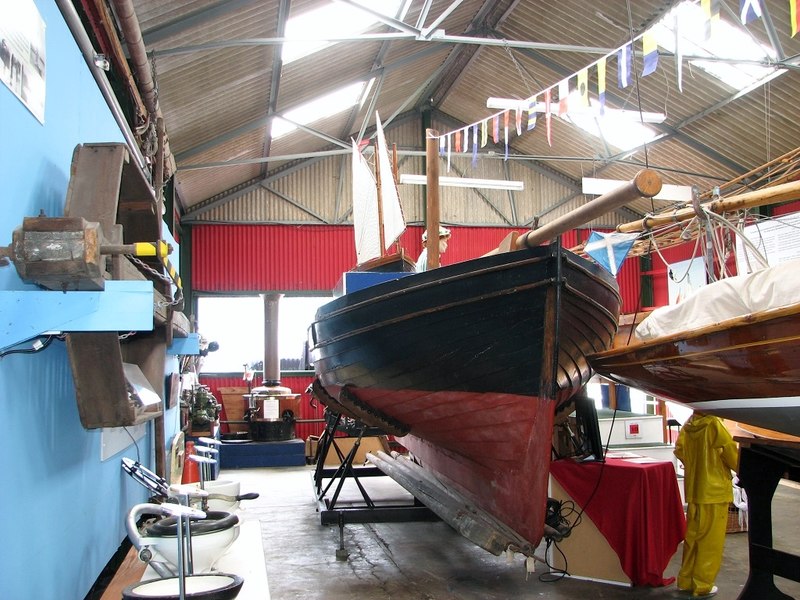
The Museum of the Broads
The Museum of the Broads is an accredited museum and registered charity in Stalham, Norfolk, England. It describes its mission as being to "bring the story...
Smallburgh Rural District
Smallburgh Rural District was a rural district in Norfolk, England from 1894 to 1974.It was formed under the Local Government Act 1894 based on the Smallburgh...

Stalham
Stalham is a market town and civil parish on the River Ant in the English county of Norfolk, in East Anglia. It covers an area of 2.82 sq mi (7.3 km2)...

Ant Broads and Marshes
Ant Broads and Marshes is a 745.3-hectare (1,842-acre) biological Site of Special Scientific Interest north-east of Norwich in Norfolk. Most of it is a...
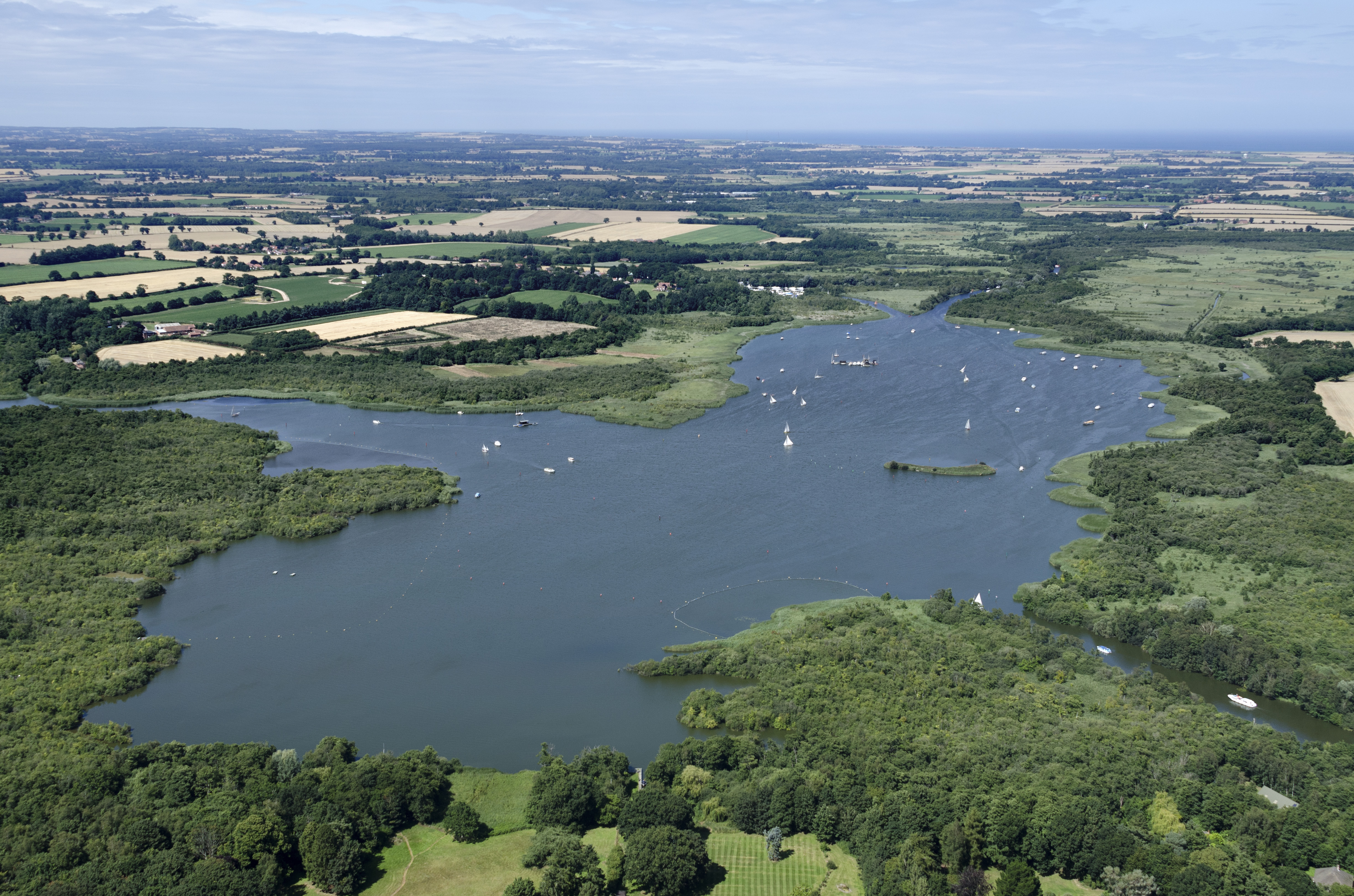
Barton Broad
Barton Broad is a large lake that forms part of the River Ant which gives its name to a 164-hectare (410-acre) nature reserve north-east of Norwich in...

Ant Broads & Marshes National Nature Reserve
Ant Broads & Marshes NNR is a national nature reserve in Norfolk, England established by English Nature. It is named after the River Ant. It is part of...
Related Videos
Boating Holiday - Day 1
Our first 'Boating Holiday' to the Norfolk Broads. Booked via Richardsons Boating Holidays (Stalham), sailing from June 6th - June ...
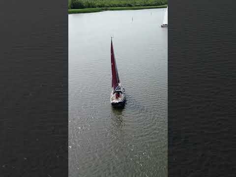
Sailing boats on Barton Broad, Norfolk
beautifulnorfolk #norfolk #beautifulnorfolk.uk #norfolkbroads #broads #sailing #yacht #boats #holiday #vacation #BartonBroad.
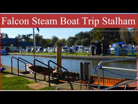
Falcon Steam Boat Trip At The Museum Of The Broads Stalham #tourism #autumn #trip
Hi everyone, Today I went on Falcon, a steam boat trip from The Museum of the Broads in Stalham. Falcon, is a Victorian steam ...
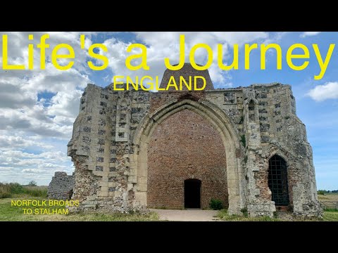
LaJ Boating on the Broads🛥6/6
Day 6/6 Norfolk Broads Boating Bonanza! . Burge Castle to Stalham. . Leaving the van behind for a week in one of those pre ...
Nearby Amenities
Located within 500m of 52.755348,1.5018121Have you been to Big Bog?
Leave your review of Big Bog below (or comments, questions and feedback).